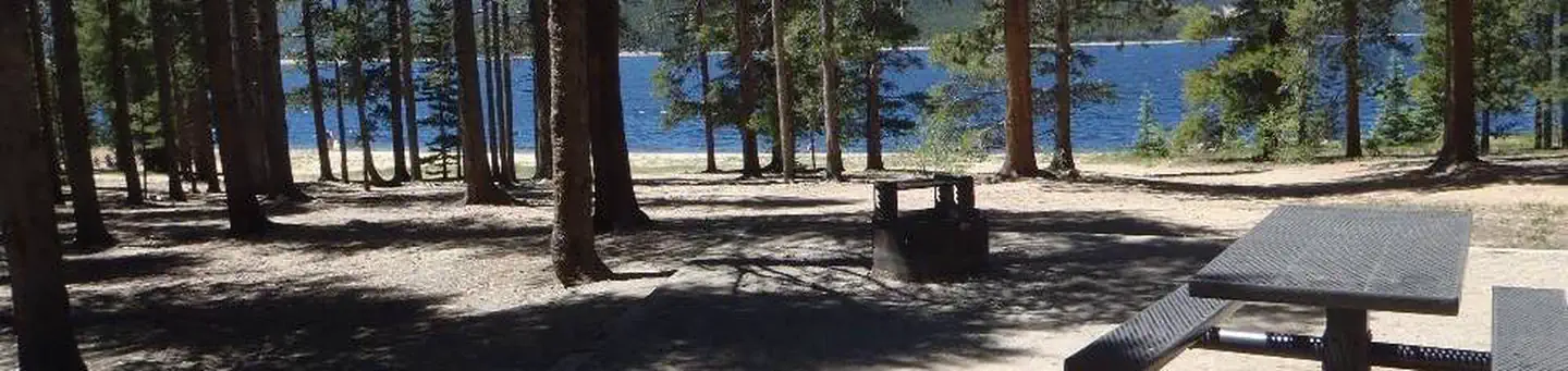
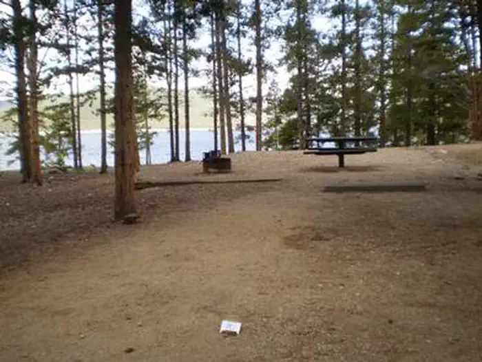
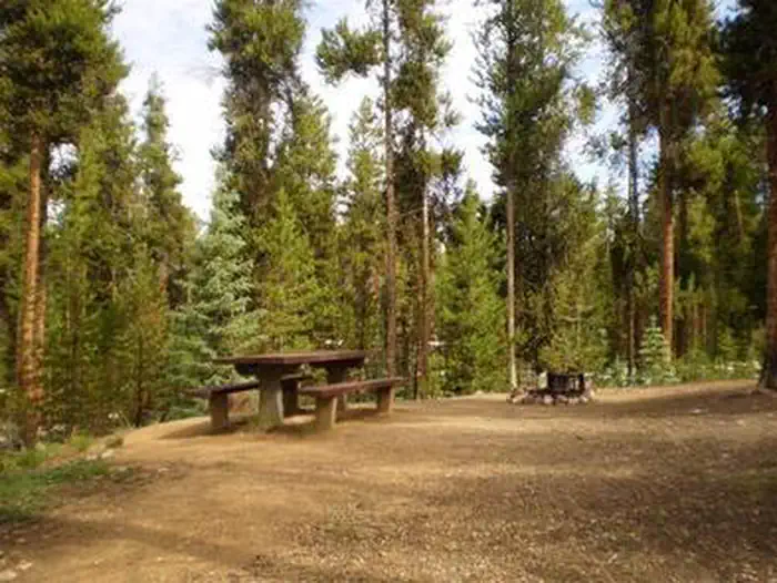
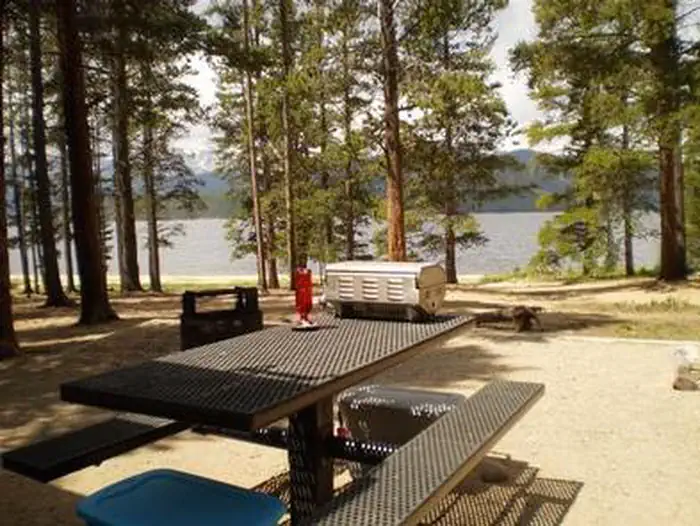
Overview Baby Doe Campground is situated on the eastern shore of Turquoise Lake in the shade of a lodgepole pine and subalpine fir forest. This family-friendly campground is a popular summer destination for boating, hiking and fishing.The campground was named for Elizabeth McCourt, whose nickname was Baby Doe. She made…
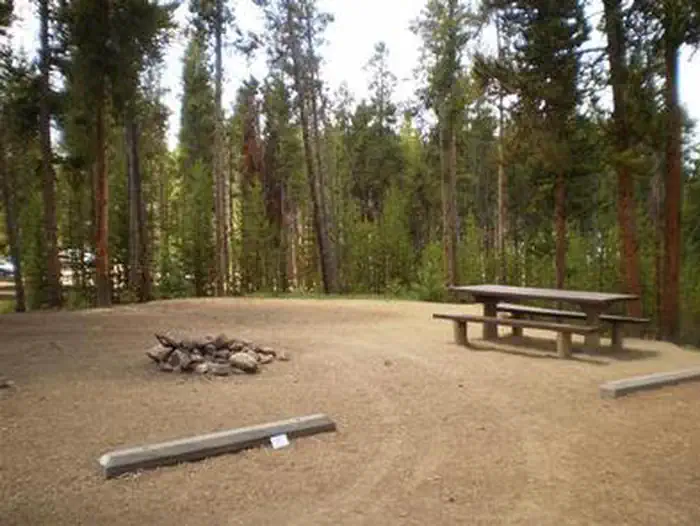
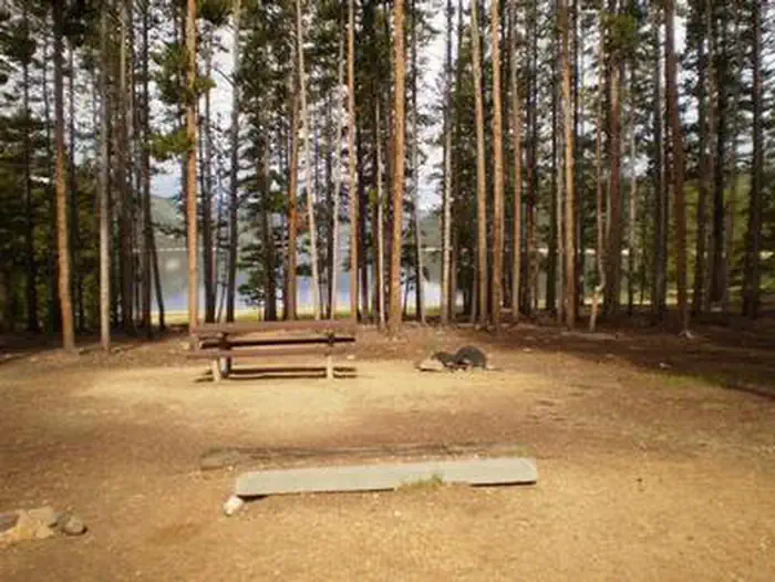
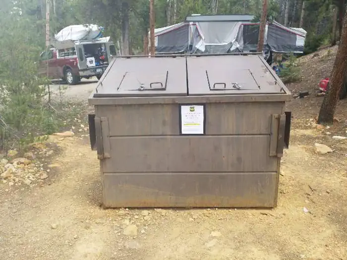
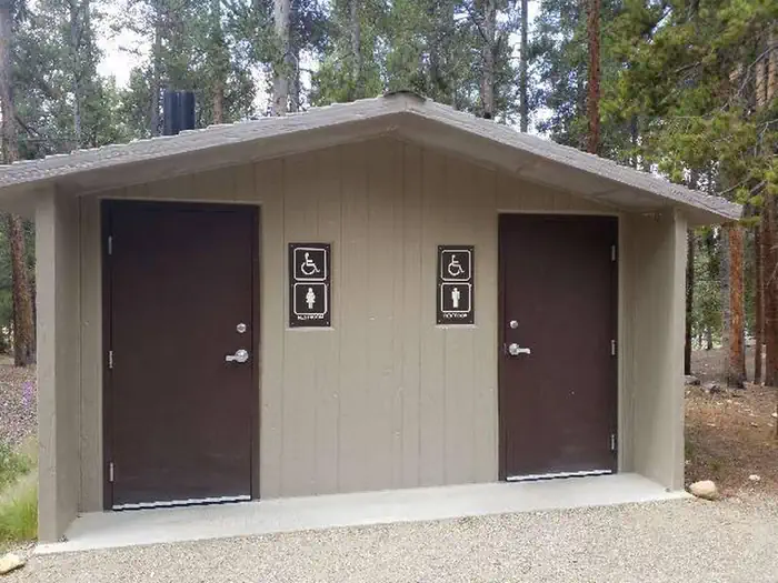
Overview Baby Doe Campground is situated on the eastern shore of Turquoise Lake in the shade of a lodgepole pine and subalpine fir forest. This family-friendly campground is a popular summer destination for boating, hiking and fishing.The campground was named for Elizabeth McCourt, whose nickname was Baby Doe. She made a name for herself in the Colorado mining community in the 19th century when she took on the rugged work of a miner. Recreation The 1.2-mile Turquoise Lake Nature Trail meanders along the shoreline is a gentle loop trail through the forest and down to the shoreline of Turquoise Lake. This trail connects to the 6.4-mile Turquoise Lake Trail that parallels the shoreline from Sugar Loaf Dam to May Queen Campground. Trail guides are available at the trailhead located about a mile south, at the entrance to Molly Brown Campground. On the lake, boating, sailing, canoeing and fishing are favorite activities. Anglers fish for stocked cutthroat, rainbow, brown and lake trout. A boat ramp is located about a mile south of the campground.Facilities The campground offers single-family sites, some of which are accessible. Each site is equipped with a picnic table and campfire ring. Vault toilets and trash collection are provided. Firewood is available for purchase from the Host. Parking spurs are gravel or dirt. Natural Features Campsites are perched along the scenic lakeshore. The Mount Massive Wilderness Area, a 30,540 acre stretch of primitive land boasting Colorado's second highest peak at 14,421 feet, is nearby. Much of the wilderness is above timberline with many alpine plant communities and permanent snowfields. Nearby Attractions Venture to Independence Pass for a scenic drive with breathtaking views of the Rockies and surrounding alpine tundra habitat. At 12,095 feet, it is one of the highest paved mountain passes in the country and marks where the Top of the Rockies National Scenic and Historic Byway crosses the Continental Divide. Contact Info For facilit
Photos
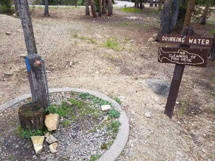
Baby Doe Campground, Entry sign — USFSBABY DOEBaby Doe Campground — USFSBABY DOE, Site table and fire ring — USFSBaby Doe Campground, water pump — USFSBABY DOEBABY DOEBaby Doe Campground, dumpster — USFSBaby Doe Campground, Vault toilet — USFSBABY DOEBaby Doe site picnic table — USFS
How to Get There
From Leadville, Colorado, drive west on County Road 4 about 3.5 miles, turn right on County Road 9C and follow signs to Baby Doe Campground.
Download your route in advance via Gaia, Caltopo, or OSM-based apps.
Recommendations adapt to the current forecast + trail stats. Use them as a starting point — local conditions, your experience, and the time of day you start all matter.
Plan Your Visit to BABY DOE
Heading to BABY DOE? A few things to know before you go:
Reservations: popular sites fill up fast — check Recreation.gov 6 months in advance
Fees: day-use and camping fees vary; check current rates on the official park page
Trash & pack-out: follow Leave No Trace principles
Wildlife: store food in bear boxes where provided; never feed wildlife
Weather: the 5-day forecast above is updated every 6 hours; verify just before you go
Frequently Asked Questions
Do I need a reservation for BABY DOE?
No central reservation system listed for BABY DOE. Check the official page (https://www.recreation.gov/camping/campgrounds/232017) for the latest entry policy and availability.
How do I get to BABY DOE?
From Leadville, Colorado, drive west on County Road 4 about 3.5 miles, turn right on County Road 9C and follow signs to Baby Doe Campground.
How do I contact BABY DOE?
You can reach the park at phone: 719-486-0749 (INFORMATION ONLY, NO RESERVATIONS) or email: [email protected].