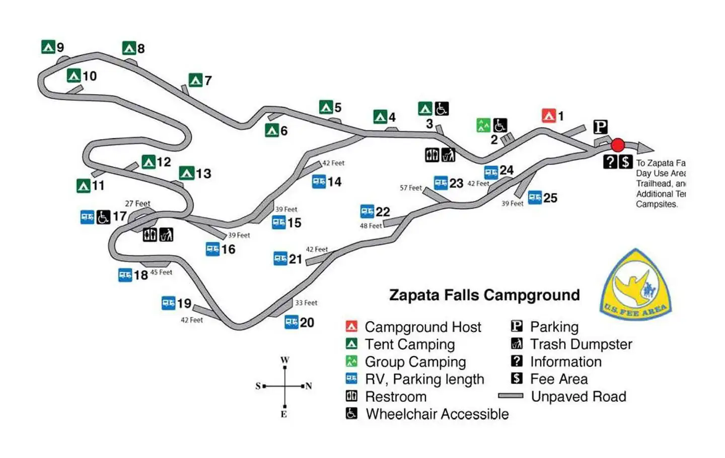
Overview A short drive up the gravel road that leads to the Bureau of Land Management’s Zapata Falls Campground (CG) will let visitors to the area see the San Luis Valley and Great Sand Dunes National Park & Preserve from a whole new perspective. The campground offers bird’s-eye views of the valley floor below, the San…
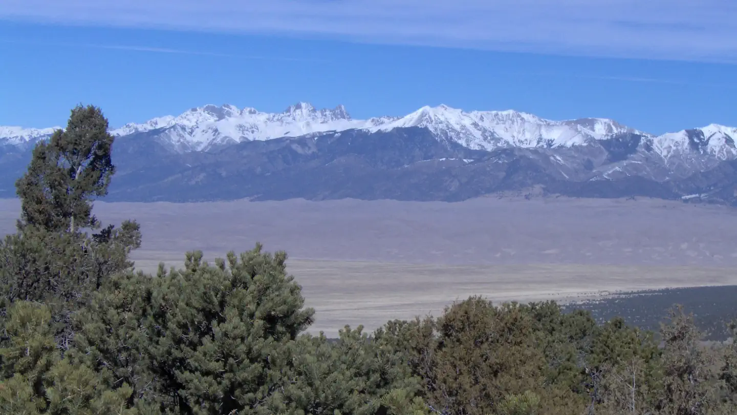
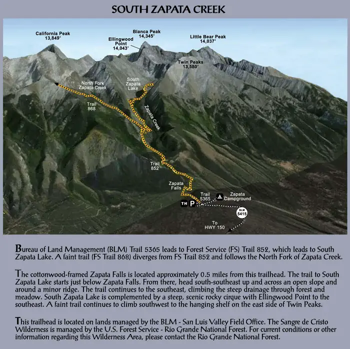
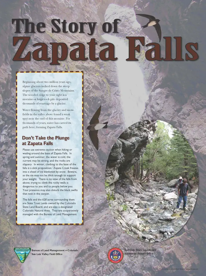
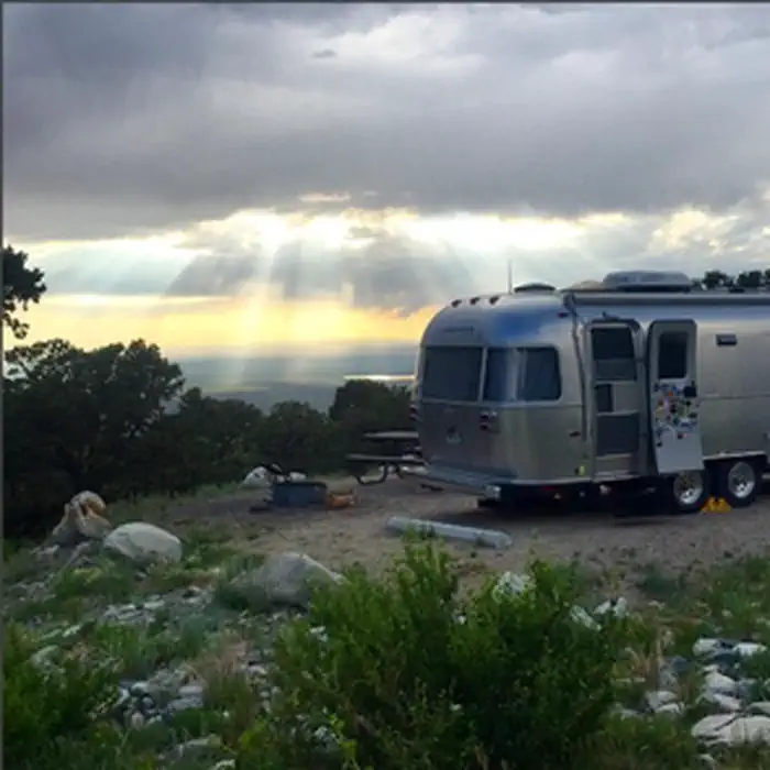
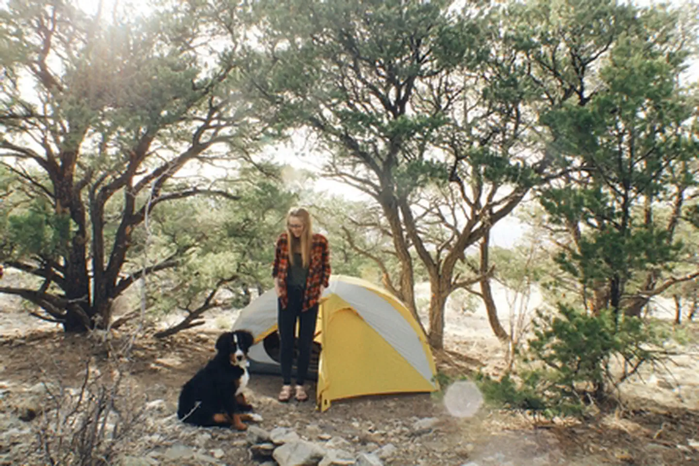
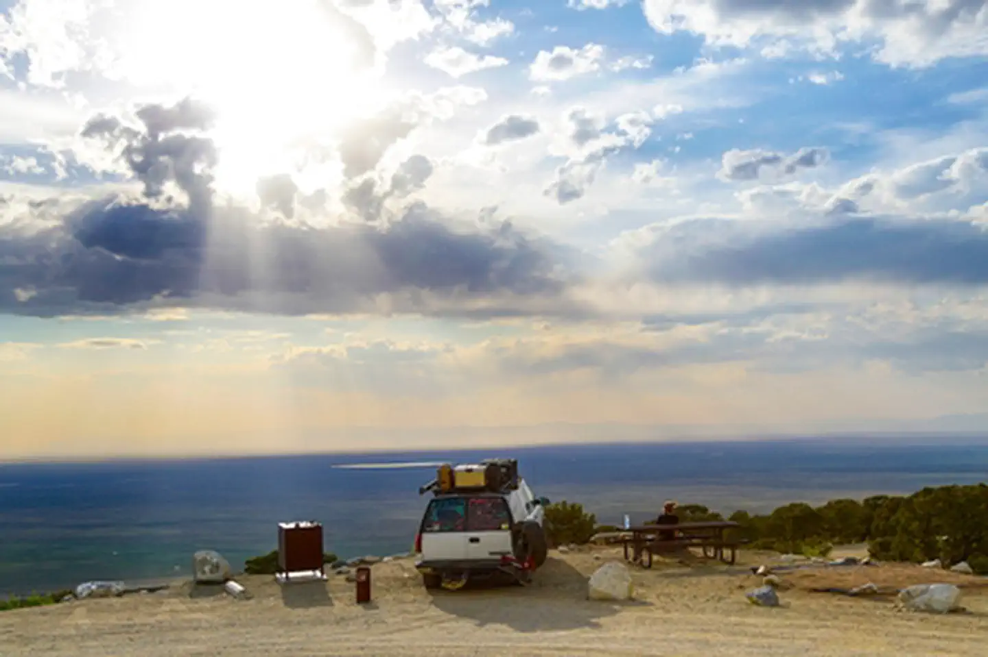
Overview A short drive up the gravel road that leads to the Bureau of Land Management’s Zapata Falls Campground (CG) will let visitors to the area see the San Luis Valley and Great Sand Dunes National Park & Preserve from a whole new perspective. The campground offers bird’s-eye views of the valley floor below, the San Juan Mountains to the west, the adjacent Great Sand Dunes National Park and Preserve, and several 14er’s and many other towering peaks of the Sangre de Cristo Mountain range that Zapata Falls CG sits on — not to mention spectacular sunrises, sunsets and night skies! Zapata Falls CG has 23 single campsites, 1 group site and 1 camp host site nestled among piñon pines along two one-mile long loops. The sites on one loop are designed for tent campers. Parking spurs on the second loop vary a little in length but in general can handle RVs, towed campers, or other configurations of vehicles up to about 50 feet long. A new trailhead in the campground supplies a link to the South Zapata Creek Trail and the Sangre de Cristo Wilderness. A second trail, next door to the campground in the day-use area, leads visitors on a mildly steep half-mile hike to Zapata Falls, which gives the campground its name. Recreation Zapata Falls Recreation Area is a destination known for its waterfall viewing and sweeping vistas of the San Luis Valley, its soaring mountain ranges, and the adjacent Great Sand Dunes National Park. From the waterfall, the trail continues onto the Rio Grande National Forest, for those seeking a backcountry experience in the high country above and the Sangre de Cristo Wilderness. Recreation Sites • Standard Nonelectric • Rv Nonelectric • Group Tent Only Area Nonelectric • Overnight Facilities • Road signs from highway to Recreation Area. • Improved gravel roads in Recreation Area (no pavement). • No public drinking water system. • 6 vault (or pit-type) toilets. • Trash bins throughout campground and day-use areas. • 23 Individual sites (11 Tent, 12 RV, 1
Photos
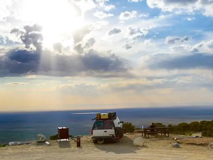
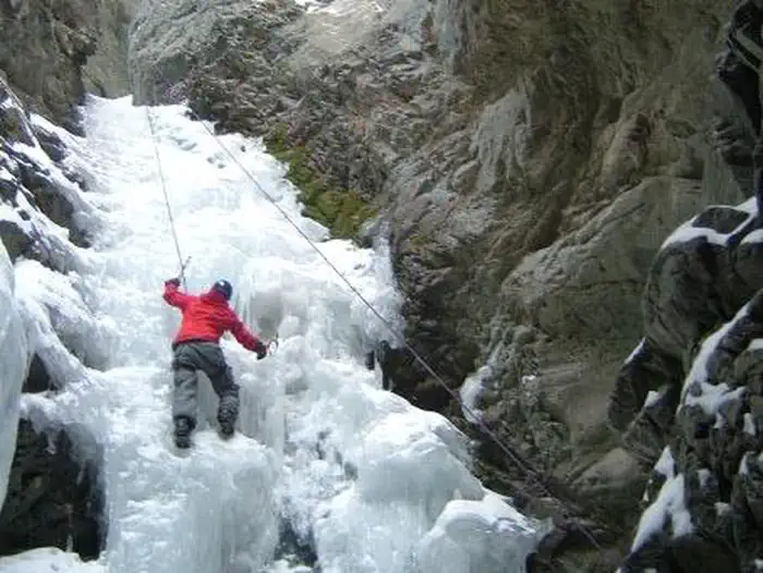
Zapata Falls Recreation Area Map & Info — BLMZapata Falls Campground1 — BLMZapata Falls Info — BLMZapata Falls CampgroundZapata Falls CampgroundZapata Falls CG overlooking San Luis Valley — BLMZapata Falls CampgroundIce Climbing at Zapata Falls — BLMZapata Falls Campground Map w/ RV Spurs — BLM
How to Get There
Zapata Falls is accessed by Colorado State Highway 150 between mile markers 10 and 11, located approximately 5 miles south of Great Sand Dunes National Park and Preserve and 10.5 miles north of U.S. Highway 160. The turn-off is to the east, and the campground is located 3.5 miles (5.8km) up an unpaved road. Elevation 9,088ft.
Download your route in advance via Gaia, Caltopo, or OSM-based apps.
Recommendations adapt to the current forecast + trail stats. Use them as a starting point — local conditions, your experience, and the time of day you start all matter.
Plan Your Visit to Zapata Falls Campground
Heading to Zapata Falls Campground? A few things to know before you go:
Reservations: popular sites fill up fast — check Recreation.gov 6 months in advance
Fees: day-use and camping fees vary; check current rates on the official park page
Trash & pack-out: follow Leave No Trace principles
Wildlife: store food in bear boxes where provided; never feed wildlife
Weather: the 5-day forecast above is updated every 6 hours; verify just before you go
Frequently Asked Questions
Do I need a reservation for Zapata Falls Campground?
No central reservation system listed for Zapata Falls Campground. Check the official page (https://www.recreation.gov/camping/campgrounds/261715) for the latest entry policy and availability.
How do I get to Zapata Falls Campground?
Zapata Falls is accessed by Colorado State Highway 150 between mile markers 10 and 11, located approximately 5 miles south of Great Sand Dunes National Park and Preserve and 10.5 miles north of U.S. Highway 160. The turn-off is to the east, and the campground is located 3.5 miles (5.8km) up an unpaved road. Elevation 9,088ft.