Del Norte, Colorado · Saguache County · Campground
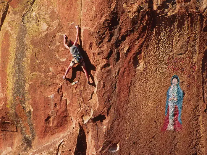
Overview The canyonlands of Penitente Canyon offer a blend of peaceful surroundings and diverse recreation opportunities less than 10 miles from a major highway. Although the BLM manages the 4,552-acre Penitente Canyon primarily for rock climbers, the area also offers opportunities for heritage tourists, mountain biker…
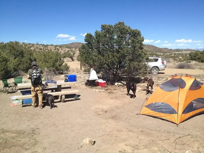
Overview The canyonlands of Penitente Canyon offer a blend of peaceful surroundings and diverse recreation opportunities less than 10 miles from a major highway. Although the BLM manages the 4,552-acre Penitente Canyon primarily for rock climbers, the area also offers opportunities for heritage tourists, mountain bikers, hikers and equestrians. Recreation Penitente Canyon Recreation Area is a destination known for its world-class sport rock-climbing routes and its extensive singletrack trail system, mainly used by mountain bikers and hikers. The area is rich in both natural and cultural history, making it ideal for heritage tourists interested in the Old Spanish Trail and early American frontiersmen, as well as wildlife watchers and photographers. • Standard Nonelectric • Rv Nonelectric • Group Tent Only Area Nonelectric • Overnight Facilities • Road signs from highway to Recreation Area. • Improved gravel roads in Recreation Area (no pavement). • Public drinking water system (available May-Oct). • 5 vault (or pit-type) toilets. • Trash bins throughout campground and day-use areas. • 15 Individual sites (3 Tent Only and 12 RV/Tent), 2 Group Tent sites, 1 CG Host site, 1 Group Picnic Shelter site. • Standard campground amenities-table, tent pads, fire ring, food storage locker, parking. • Interpretive, informational, and directional signs. • Trailhead and overflow parking areas. • Foot, horse, and mountain bike trails. • All facilities open year-round. • Cell phone service is spotty in canyons. Natural Features Geology The rocks in Penitente Canyon are remnants of up to 18 volcanic eruptions that took place in the San Juan Volcanic Field between 20 and 30 million years ago. The largest of these eruptions spewed 1,000 cubic miles of ash 27.8 million years ago, creating a huge underground chamber. Rocks overlying the chamber collapsed to create the La Garita Caldera. History Ancestors of the Utes, Jicarilla Apaches and Puebloans have all left evidence of time spent hun
Photos
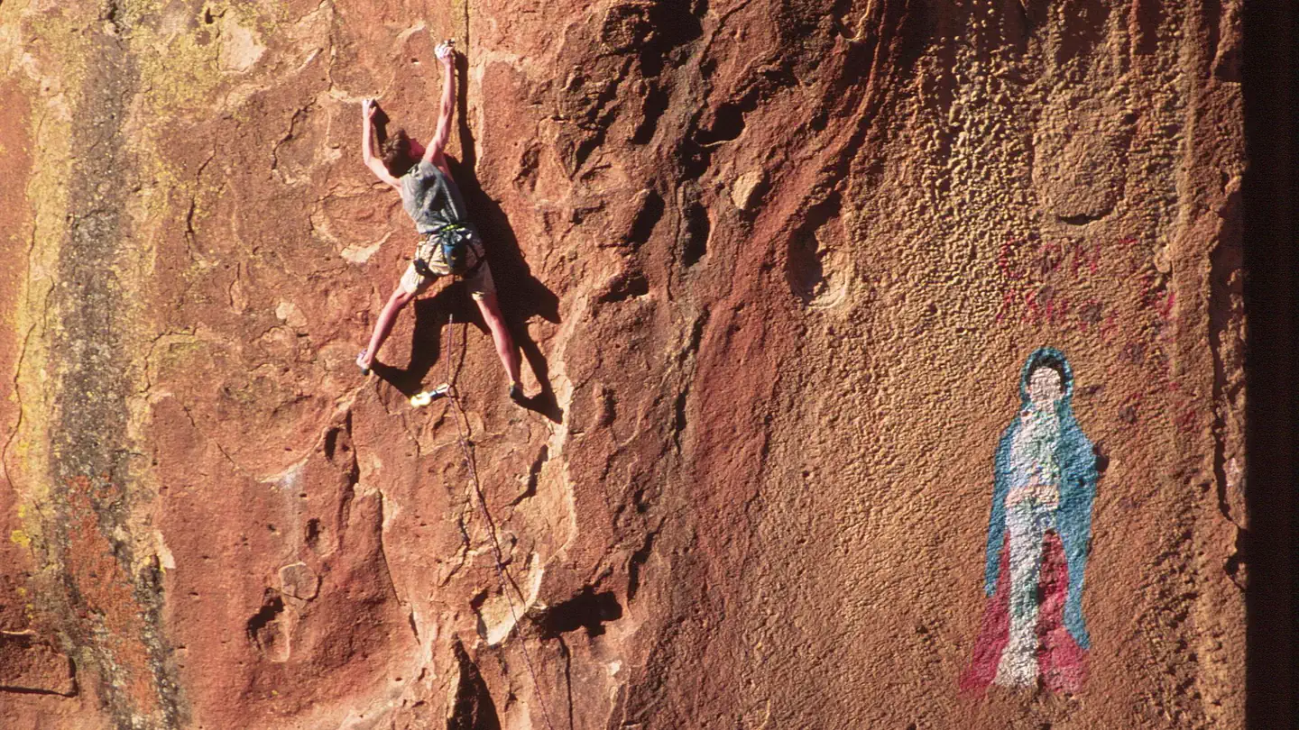
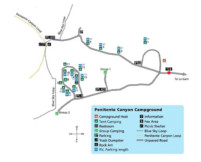
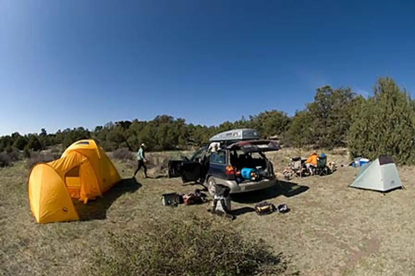
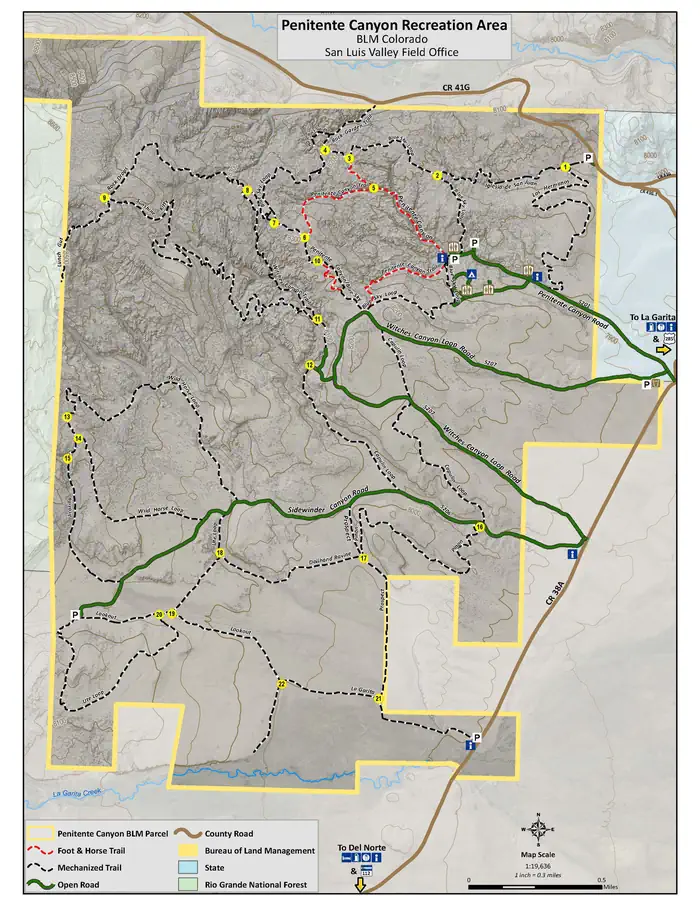
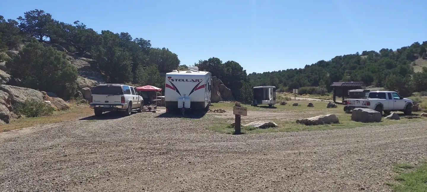
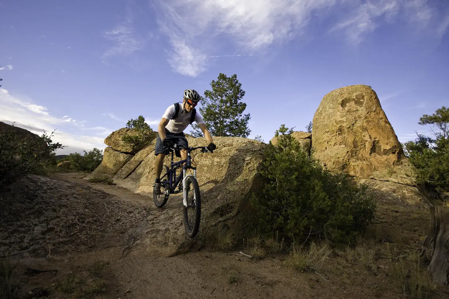
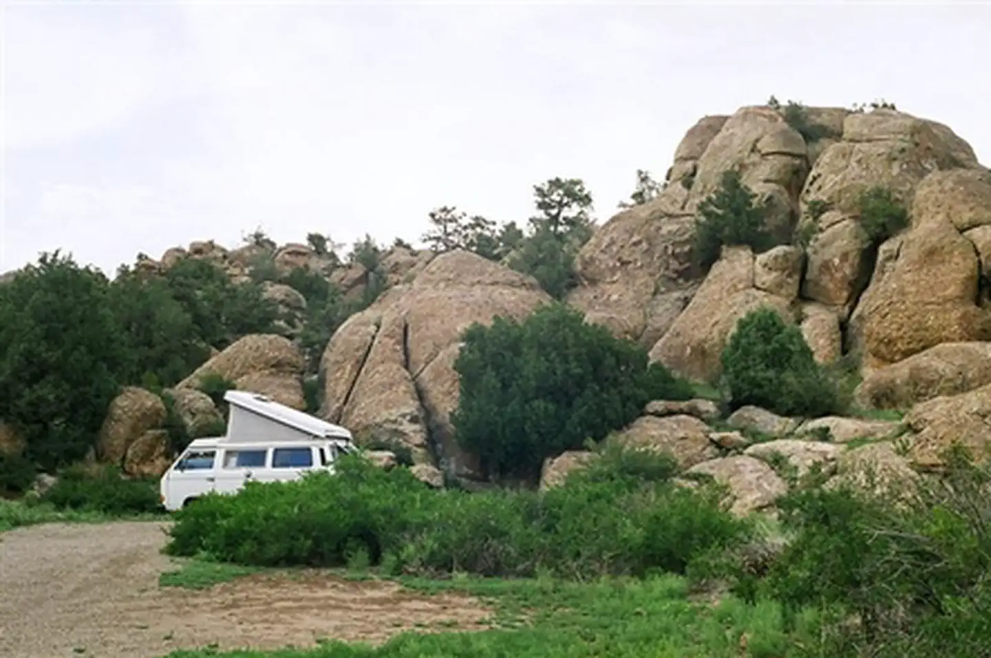
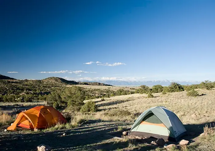
Penitente Campground Map w/ RV Spur Lengths — BLMPenitente Canyon Camping Penitente Canyon Recreation Area Map w/ Trails — BLMCamp Host Site — BLMMountain Biker at Penitente Canyon — BLMPenitente Canyon Camping Penitente Canyon Camping Climber and Pictograph in Penitente Canyon — Stewart GreenPenitente Canyon Camping
How to Get There
From U.S. 285, turn west onto Saguache County Road G. After 6 miles you will pass the La Garita Trading Post. Go another 0.5 miles to a Y intersection; take the left fork (County Road 38A). The entrance to the recreation area is another 0.5 miles, on your right. Elevation = 7,930 ft.
Download your route in advance via Gaia, Caltopo, or OSM-based apps.
Recommendations adapt to the current forecast + trail stats. Use them as a starting point — local conditions, your experience, and the time of day you start all matter.
Plan Your Visit to Penitente Canyon Campground
Heading to Penitente Canyon Campground? A few things to know before you go:
Reservations: popular sites fill up fast — check Recreation.gov 6 months in advance
Fees: day-use and camping fees vary; check current rates on the official park page
Trash & pack-out: follow Leave No Trace principles
Wildlife: store food in bear boxes where provided; never feed wildlife
Weather: the 5-day forecast above is updated every 6 hours; verify just before you go
Frequently Asked Questions
Do I need a reservation for Penitente Canyon Campground?
No central reservation system listed for Penitente Canyon Campground. Check the official page (https://www.recreation.gov/camping/campgrounds/261713) for the latest entry policy and availability.
How do I get to Penitente Canyon Campground?
From U.S. 285, turn west onto Saguache County Road G. After 6 miles you will pass the La Garita Trading Post. Go another 0.5 miles to a Y intersection; take the left fork (County Road 38A). The entrance to the recreation area is another 0.5 miles, on your right. Elevation = 7,930 ft.