About LOTTIS CREEK CAMPGROUND
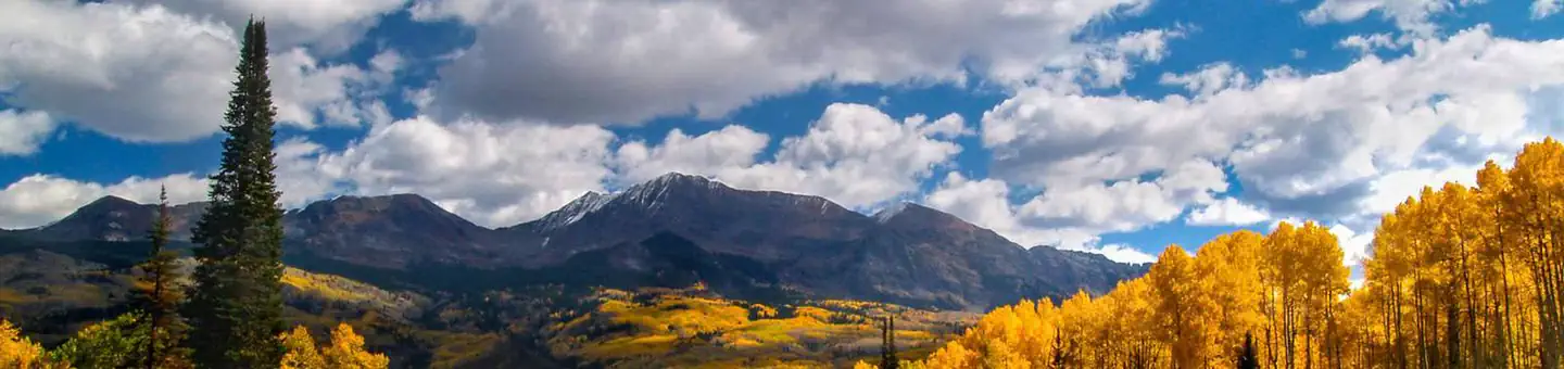
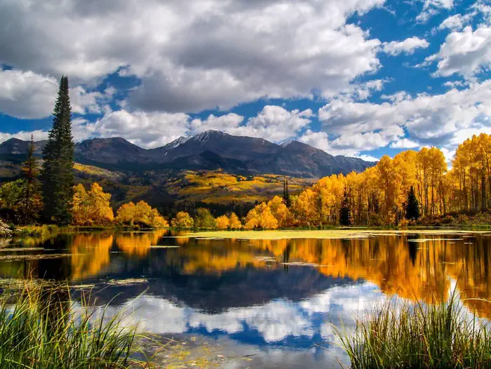
Overview Located in the Grand Mesa Uncompahgre and Gunnison National Forests, Lottis Creek Campground is at an elevation of 8,600 feet above sea level. On the shores of Lottis Creek, this newly remodeled campground is a perfect getaway for anyone that loves the outdoors. Nestled in lodgepole pines down the Taylor River Canyon, Lottis Creek Campground is great for anglers, hikers, bikers, and four-wheeler enthusiasts.Recreation Two miles to the south, visitors will find access to the Fossil Ridge Wilderness Area. Hikers and equestrians can enjoy the trails of this pristine natural area. No mechanized or motorized vehicles are permitted in any Wilderness area. To the east of Lottis Creek Campground, four-wheel drivers will find many roads to explore. Cumberland Pass Road provides access to most of these trails.Facilities There are 47 single family campsites. There is one group site accommodating 50 people and 10 vehicles with a group pavilion. This facility was completely renovated in 2012 with electric hookups at most sites. Each site is equipped with a picnic table and campfire ring. Natural Features Many of the electric hookup campsites benefit from the shade provided by the lodgepole pines in the campground. Nearby Attractions Taylor Park Reservoir is just a few miles from the campground, offering boating, fishing and swimming opportunities. A boat ramp and boat rentals are available there as well.â??Many trails for hikers are close by. Fishing is abundant in many areas and you will find numerous four-wheel drive trails. Contact Info For facility specific information, please call (928) 537-8888.
How to Get There
From Gunnison, Colo., travel north on Highway 135 for 10 miles to Almont. At intersection of State Rt. 135 and County Rt. 742, take Rt. 742 for 16.7 miles to campground sign. Turn right into campground.
Driving directions (Google Maps) →What to Pack for Your Stay
Tuned to the live forecast for this park.
👔 What to Wear
- 👕
Long-sleeve shirt
Synthetic or merino, sun-protective.
- 🧥
Light shell or windbreaker
Even on warm days, wind can chill (avg wind 0 mph).
- 👖
Hiking pants or convertible
Layer for variable conditions.
- 🥾
Trail runners or low boots
Comfortable, broken in.
🎒 What to Pack
- 💧
Water
Bring at least 1L of water; more in heat.
- 🍫
High-energy snacks
A snack for the trail.
- 🧴
Sun protection
Sunscreen, sunglasses, brimmed hat.
- 🩹
First-aid kit
Blister patches, ibuprofen, tape, antiseptic wipes.
- 🗺
Offline map
Download your route in advance via Gaia, Caltopo, or OSM-based apps.
Recommendations adapt to the current forecast + trail stats. Use them as a starting point — local conditions, your experience, and the time of day you start all matter.
Plan Your Visit to LOTTIS CREEK CAMPGROUND
Heading to LOTTIS CREEK CAMPGROUND? A few things to know before you go:
- Reservations: popular sites fill up fast — check Recreation.gov 6 months in advance
- Fees: day-use and camping fees vary; check current rates on the official park page
- Trash & pack-out: follow Leave No Trace principles
- Wildlife: store food in bear boxes where provided; never feed wildlife
- Weather: the 5-day forecast above is updated every 6 hours; verify just before you go
Frequently Asked Questions
Do I need a reservation for LOTTIS CREEK CAMPGROUND?
No central reservation system listed for LOTTIS CREEK CAMPGROUND. Check the official page (https://www.recreation.gov/camping/campgrounds/250026) for the latest entry policy and availability.
How do I get to LOTTIS CREEK CAMPGROUND?
From Gunnison, Colo., travel north on Highway 135 for 10 miles to Almont. At intersection of State Rt. 135 and County Rt. 742, take Rt. 742 for 16.7 miles to campground sign. Turn right into campground.
How do I contact LOTTIS CREEK CAMPGROUND?
You can reach the park at email: camping@rrmofa.com.
References & Official Resources