Overview Great Sand Dunes National Park and Preserve is in the San Luis Valley of south-central Colorado at an elevation of 8,175 feet. The dunes lie on the eastern edge of the valley at the base of the Sangre de Cristo Range. The dunefield is part of the nearly 150,000 total acres of the park and preserve that also pr…
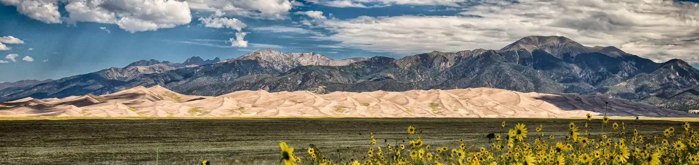
Overview Great Sand Dunes National Park and Preserve is in the San Luis Valley of south-central Colorado at an elevation of 8,175 feet. The dunes lie on the eastern edge of the valley at the base of the Sangre de Cristo Range. The dunefield is part of the nearly 150,000 total acres of the park and preserve that also protects alpine lakes, tundra, six peaks over 13,000 feet, ancient spruce and pine forests, large stands of aspen and cottonwood, grasslands, and wetlands. The park is part of a fragile, dynamic system that influences and sustains the tallest dunes in North America. President Herbert Hoover established the park unit as a national monument by presidential proclamation on March 17, 1932 through the Antiquities Act. The Works Progress Administration constructed the Superintendent’s Residence, now listed on the National Register of Historic Places. But otherwise, GRSA did not see a great deal of development during the New Deal. Park development did not occur in earnest until Mission 66. During this period, the NPS was able to construct a Visitor Center, the Pinon Flat Campground (88 sites), a picnic area, five comfort stations, six single family residences and a triplex, while also building or improving roads and trails through the park. The Visitor Center shows the motivation of the Western Office of Design and Construction to configure designs to corresponding regions using principles of “regional modernism.” Built in the Pueblo Revival style, the Visitor Center mimics adobe construction through modern materials and forms blended with traditional materials and forms seen during the CCC-era in Cecil Doty’s work. Following Mission 66, Congress designated nearly 91% of the monument as wilderness in 1976, which certainly limited the park’s ability to further develop visitor and administrative facilities. GRSA became a national park and preserve in 2000, which also included a transfer of land from the Rio Grande National Forest.The dunes have long stood as a la
Photos
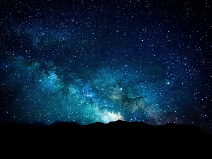
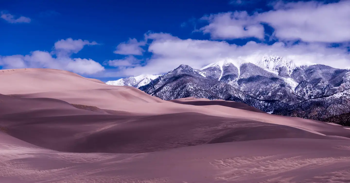
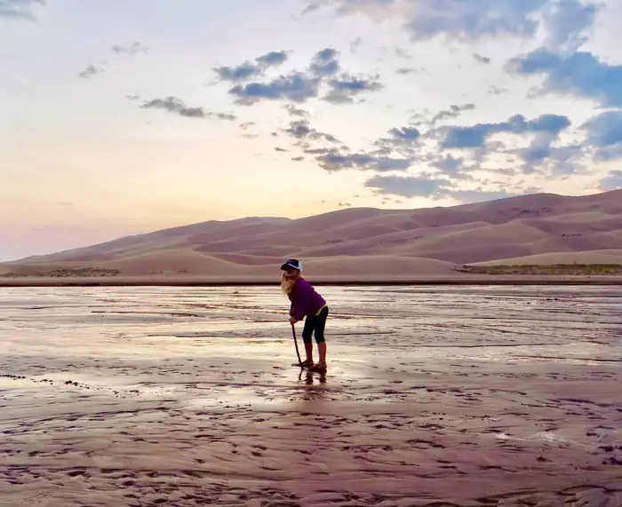
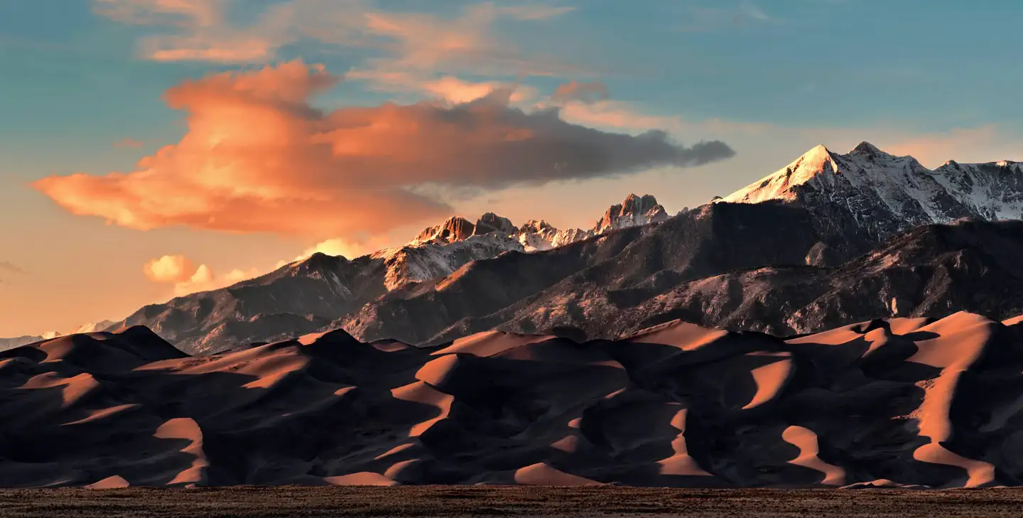
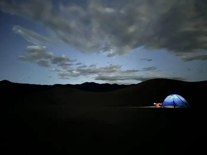
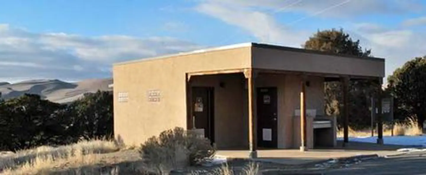
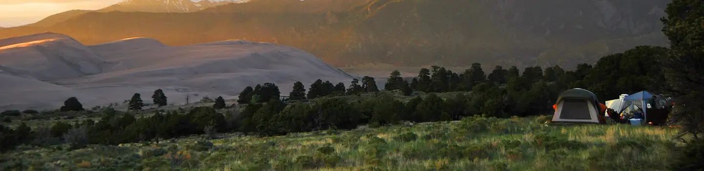
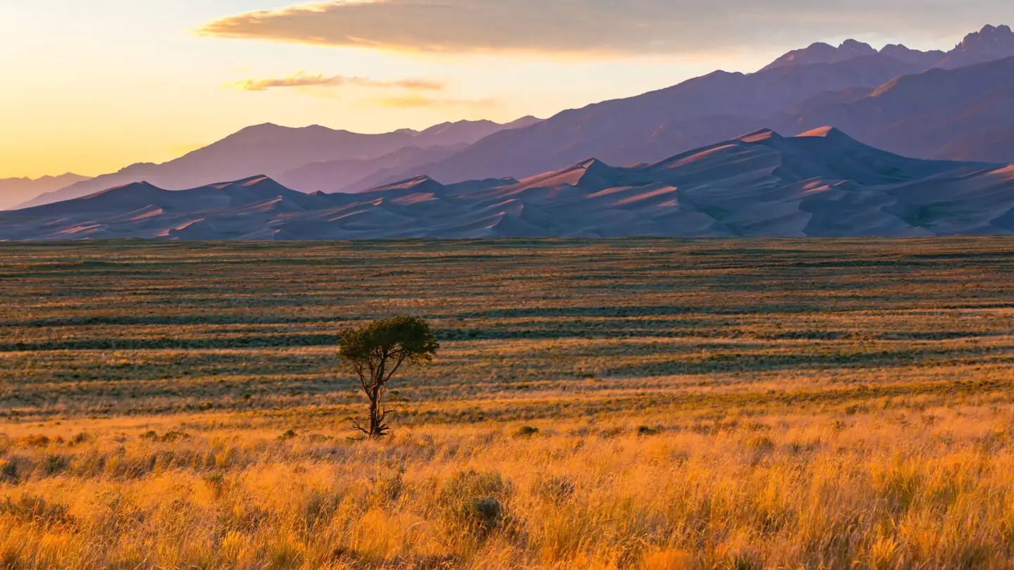
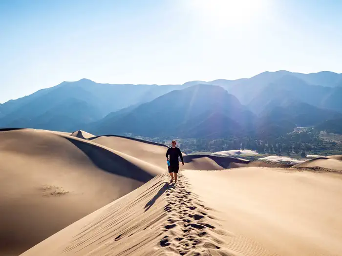
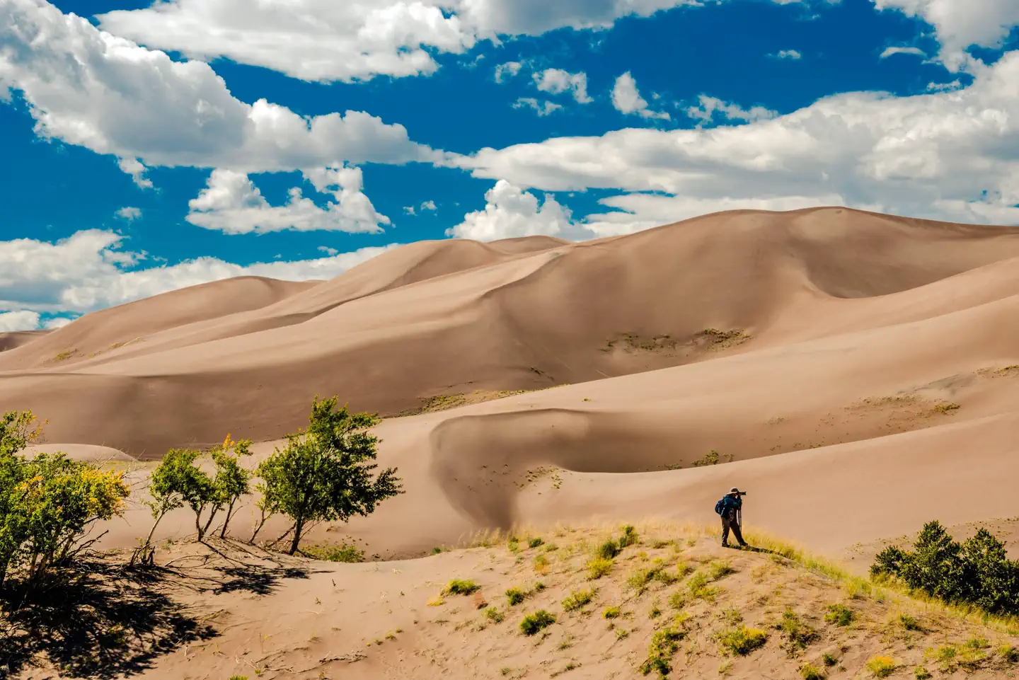
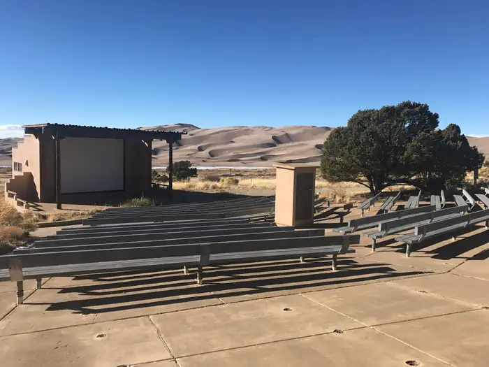
Night sky with the Milky Way over dark sand dunes. — Joe Sterling - Share The Experience Photo ContestRolling sand dunes with snowy mountains in the background. — Stan Ford - Share The Experience Photo ContestPerson poses in front of sand dunes. — Kim Amidei - Share The Experience Photo ContestDramatic shadows play on the sand dunes with tall, snow-covered peaks towering. — Koustav Maity - Share The Experience Photo ContestNighttime. Glowing tent on dark sand dunes. A few stars and clouds in the sky. — NPS/H. EganComfort Station, Pinon Flats Campground — NPSPinon Flats Campground, tent on the right with sand dunes on the left. — NPSGolden hour. A lone tree in a field of golden grass with the sand dunes in dramatic shadow with mountains behind. — Richard Briggs - Share The Experience Photo ContestPerson walking the ridge of a sand dune, leaving footprints in the sand. — Luis Garcia Falcon - Share The Experience Photo ContestRolling sand dunes against a summer blue sky with a few clouds. — John Hanou - Share the Experience Photo ContestAmphitheater, Pinon Flats Campground — NPS
How to Get There
From Highway 160, turn north on Highway 150 and follow for 16 miles to the entrance of Great Sand Dunes National Park & Preserve. Continue 5 miles north on the park's main road to reach the campground entrance. From Highway 285, turn south onto CO-17 and follow for 36 miles (58 km). Turn east onto Lane 6 and follow for 16 miles (26 km) to Highway 150. Turn north onto Highway 150 and follow for 2.6 miles (4 km) to the entrance of Great Sand Dunes National Park & Preserve. Continue 5 miles (8 km) north on the park's main road to reach the campground entrance.
Download your route in advance via Gaia, Caltopo, or OSM-based apps.
Recommendations adapt to the current forecast + trail stats. Use them as a starting point — local conditions, your experience, and the time of day you start all matter.
Plan Your Visit to Pinon Flats Campground
Heading to Pinon Flats Campground? A few things to know before you go:
Reservations: popular sites fill up fast — check Recreation.gov 6 months in advance
Fees: day-use and camping fees vary; check current rates on the official park page
Trash & pack-out: follow Leave No Trace principles
Wildlife: store food in bear boxes where provided; never feed wildlife
Weather: the 5-day forecast above is updated every 6 hours; verify just before you go
Frequently Asked Questions
Do I need a reservation for Pinon Flats Campground?
No central reservation system listed for Pinon Flats Campground. Check the official page (https://www.recreation.gov/camping/campgrounds/234685) for the latest entry policy and availability.
How many campsites are at Pinon Flats Campground?
Pinon Flats Campground has 90 campsites. Site amenities (hookups, vehicle limits, ADA access) vary — see the individual campsite pages for details.
How do I get to Pinon Flats Campground?
From Highway 160, turn north on Highway 150 and follow for 16 miles to the entrance of Great Sand Dunes National Park & Preserve. Continue 5 miles north on the park's main road to reach the campground entrance. From Highway 285, turn south onto CO-17 and follow for 36 miles (58 km). Turn east onto Lane 6 and follow for 16 miles (26 km) to Highway 150. Turn north onto Highway 150 and follow for 2.6…
How do I contact Pinon Flats Campground?
You can reach the park at phone: 1-877-444-6777 or email: [email protected].