Camptonville, California · Sierra County · Campground
Overview Rocky Rest Campground is located off of Highway 49, in the North Yuba River area near Downieville. Visitors enjoy a wide variety of recreational activities in the area, including hiking, biking, hunting, fishing, white water boating, and gold panning. This facility is operated and maintained by the Tahoe Natio…
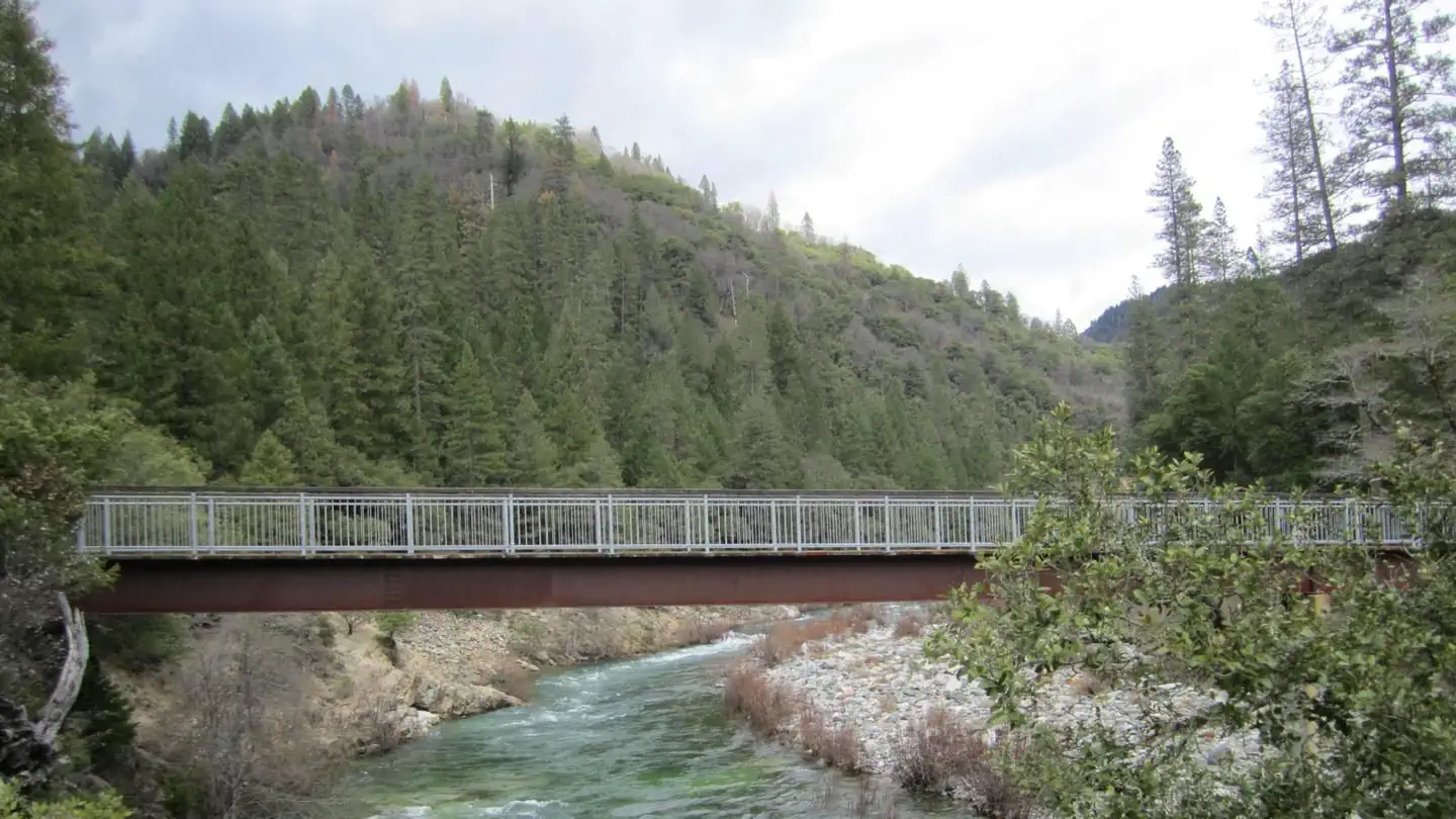
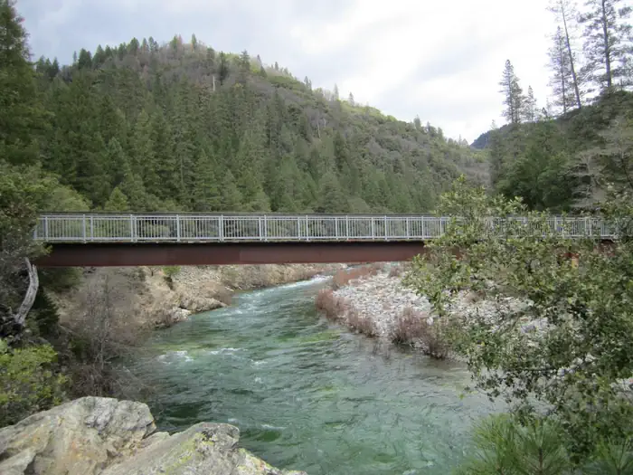
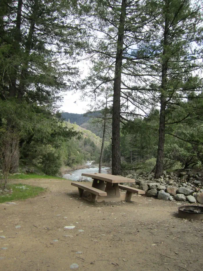
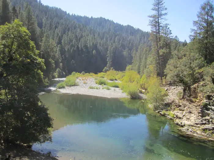
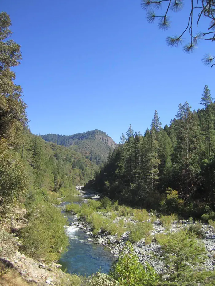
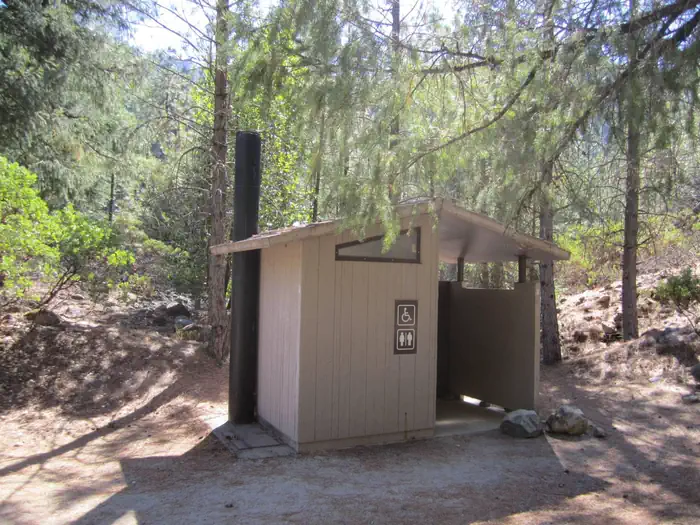
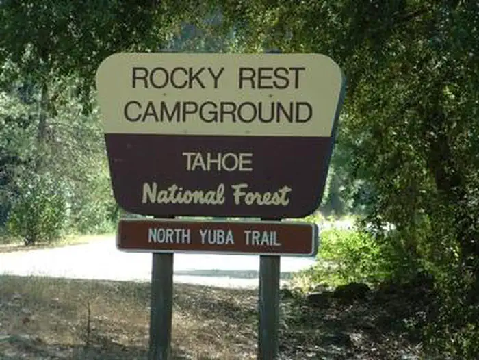
Overview Rocky Rest Campground is located off of Highway 49, in the North Yuba River area near Downieville. Visitors enjoy a wide variety of recreational activities in the area, including hiking, biking, hunting, fishing, white water boating, and gold panning. This facility is operated and maintained by the Tahoe National Forest. Recreation A trailhead for the North Yuba Trail is located within the campground. This 7.5-mile trail is open to hiking and biking. The North Yuba River offers swimming, floating, and rainbow trout fishing. A small rocky beach and swimming hole are situated at the water's edge. The river is a popular destination for seasonal rafting, kayaking and tubing.Facilities The campground offers several single-family sites. Each site is equipped with a picnic table and campfire ring. Vault toilets and drinking water are provided.Natural Features The campground is situated on the north bank of the North Yuba River, where a forest of Douglas fir, pine, and oak provides ample shade, but limited privacy between sites. Contact Info This location is unstaffed. To speak with our main office for general information, please call: (530) 265-4531. Nearby Attractions Rocky Rest Campground is located along the Yuba Donner Scenic Byway (Highway 49) near many gold rush era historical sites and old mining towns such as Camptonville, Goodyears Bar, and Downieville. Many points of interest lie along Highway 49 and are part of the 49 miles of Highway 49 driving tour; look for interpretive signs and other historical sites along this tour route. Other attractions include the North Yuba River, Indian Valley Outpost, New Bullards Bar Reservoir, Downieville, and a network of miles of multi use hiking, biking, and motorcycle singletrack. Charges & Cancellations No Show Policy A no-show customer is one who does not arrive at a campground and does not cancel the reservation by check-out time on the day after the scheduled arrival date (or for day-use facilities, by check-in ti
Photos
North Fork Yuba River — Cecilia Reedcampsite — creedNorth Yuba River at Rocky Rest — tnfNorth Yuba River — CReedNorth Yuba River from Rocky Rest — CReedrestroom — tnfROCKY REST — tnf
How to Get There
From Downieville, take Highway 49 south for about 11 miles. The campground is on the left side of the highway. From Nevada City, take Highway 49 north for 31 miles. The campground is on the right side of the highway.
Download your route in advance via Gaia, Caltopo, or OSM-based apps.
Recommendations adapt to the current forecast + trail stats. Use them as a starting point — local conditions, your experience, and the time of day you start all matter.
Plan Your Visit to ROCKY REST
Heading to ROCKY REST? A few things to know before you go:
Reservations: popular sites fill up fast — check Recreation.gov 6 months in advance
Fees: day-use and camping fees vary; check current rates on the official park page
Trash & pack-out: follow Leave No Trace principles
Wildlife: store food in bear boxes where provided; never feed wildlife
Weather: the 5-day forecast above is updated every 6 hours; verify just before you go
Frequently Asked Questions
Do I need a reservation for ROCKY REST?
No central reservation system listed for ROCKY REST. Check the official page (https://www.recreation.gov/camping/campgrounds/234549) for the latest entry policy and availability.
How do I get to ROCKY REST?
From Downieville, take Highway 49 south for about 11 miles. The campground is on the left side of the highway. From Nevada City, take Highway 49 north for 31 miles. The campground is on the right side of the highway.