Overview Nelson Point Campground is situated along the Sacramento Arm of Shasta Lake, easily accessible from 1-5 and located nearby many other recreation areas on Shasta Lake.Recreation The nearest public boat ramp is 6 miles away at Antlers. Nearby lakeside resorts offer boat rentals and fuel. Shasta Lake is popular f…
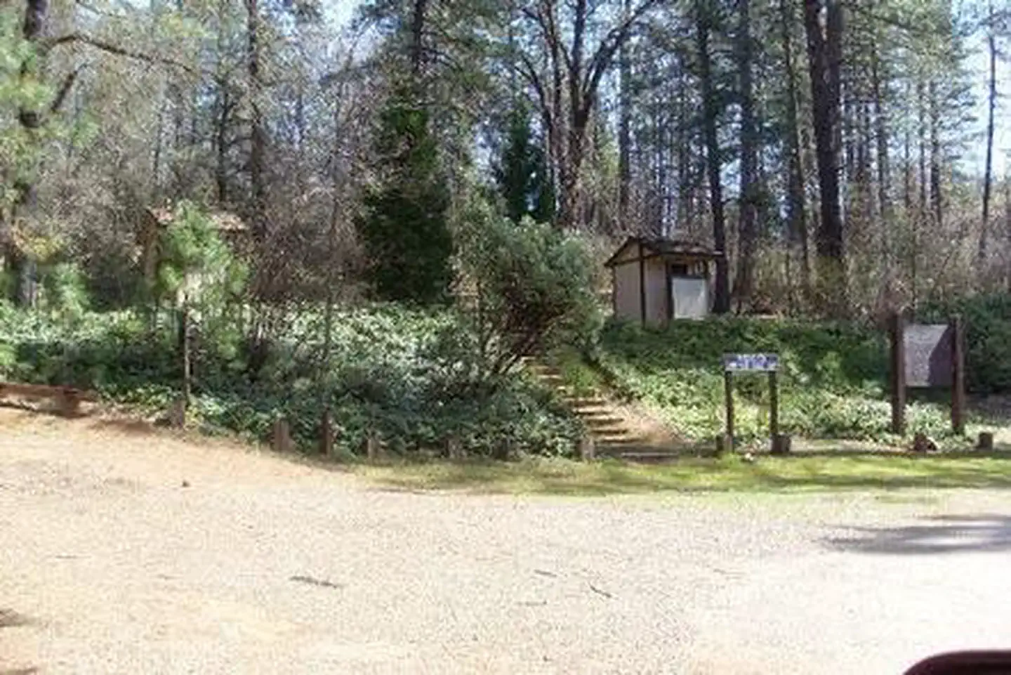
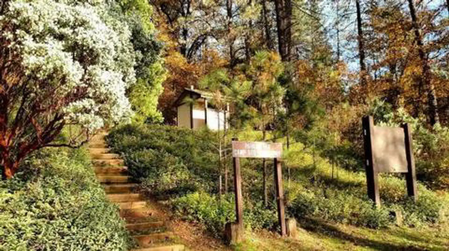
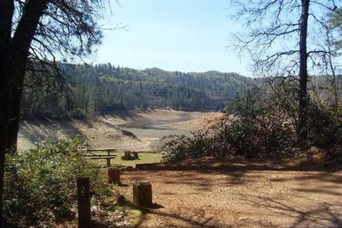
Overview Nelson Point Campground is situated along the Sacramento Arm of Shasta Lake, easily accessible from 1-5 and located nearby many other recreation areas on Shasta Lake.Recreation The nearest public boat ramp is 6 miles away at Antlers. Nearby lakeside resorts offer boat rentals and fuel. Shasta Lake is popular for power and non-motorized boating, fishing and water skiing. Anglers can fish for trout, catfish, Chinook salmon, crappie, bluegill, white sturgeon, brown bullhead and bass.Facilities Nelson Point is open for walk-ins April 1-May 13. The campground is available for group rental on a reservation basis from May 13-September 11. Reservations are not allowed for individual family camping during the peak season unless the entire campground is reserved. All campsites have a grill or stove, picnic tables, fire rings, tent pads, bear boxes and paved parking spurs. Vault toilets are provided, but there is no drinking water.Natural Features Shasta-Trinity is the largest national forest in California with a diverse landscape encompassing five wilderness areas, hundreds of mountain lakes and 6,278 miles of streams and rivers. Lake Shasta sits at an elevation of 1,067 feet, with 365 miles of shoreline punctuated by steep mountains blanketed in manzanita and evergreens. A snow-capped Mount Shasta, the second-tallest mountain in the Cascade Range, looms in the distance. Nearby Attractions Lake Shasta Caverns is located on the McCloud Arm of Shasta Lake in an area known as the Grey Rocks. Tours are given daily at this privately owned facility.
Photos
NELSON POINTNELSON POINTFall — .NELSON POINT
How to Get There
From Redding, California: Take I-5 to Gilman Road/Gregory Creek Rd. Go west to Salt Creek exit, and then north to Conflict Point Road (From the north, take Salt Creek exit and then go south to Conflict Point Road). Go approximately .5 miles to the campground.
Download your route in advance via Gaia, Caltopo, or OSM-based apps.
Recommendations adapt to the current forecast + trail stats. Use them as a starting point — local conditions, your experience, and the time of day you start all matter.
Plan Your Visit to NELSON POINT
Heading to NELSON POINT? A few things to know before you go:
Reservations: popular sites fill up fast — check Recreation.gov 6 months in advance
Fees: day-use and camping fees vary; check current rates on the official park page
Trash & pack-out: follow Leave No Trace principles
Wildlife: store food in bear boxes where provided; never feed wildlife
Weather: the 5-day forecast above is updated every 6 hours; verify just before you go
Frequently Asked Questions
Do I need a reservation for NELSON POINT?
No central reservation system listed for NELSON POINT. Check the official page (https://www.recreation.gov/camping/campgrounds/232764) for the latest entry policy and availability.
How do I get to NELSON POINT?
From Redding, California: Take I-5 to Gilman Road/Gregory Creek Rd. Go west to Salt Creek exit, and then north to Conflict Point Road (From the north, take Salt Creek exit and then go south to Conflict Point Road). Go approximately .5 miles to the campground.