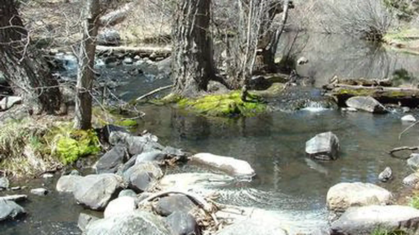
Overview Chilcoot Campground (5,100 feet) is located just downstream from Frenchman Lake alongside Last Chance Creek. The sound of flowing water along with shade from the surrounding pine and cottonwood forest are key features making this a great place to relax and enjoy the outdoors. Chilcoot Campground is one of five…
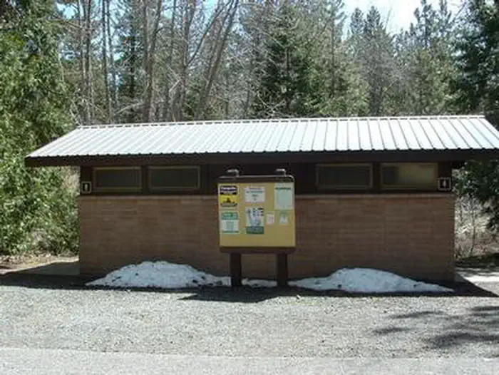
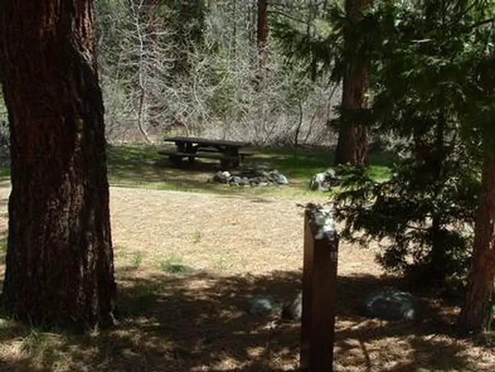
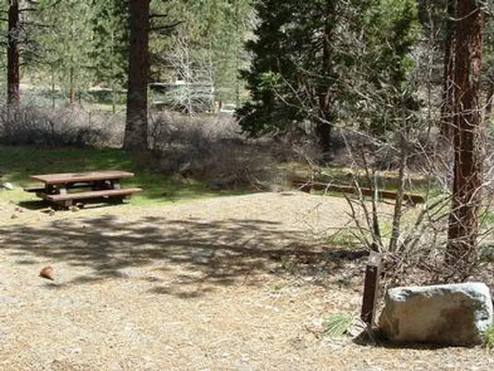
Overview Chilcoot Campground (5,100 feet) is located just downstream from Frenchman Lake alongside Last Chance Creek. The sound of flowing water along with shade from the surrounding pine and cottonwood forest are key features making this a great place to relax and enjoy the outdoors. Chilcoot Campground is one of five campgrounds in the popular Frenchman Lake Recreation Area of Northeastern California's Plumas National Forest. The campground is far enough away from the lake that visitors can experience the serene sense of solitude that the remote mountain setting provides. Recreation Frenchman Recreation Area offers a wide variety of recreational opportunities. Water sports including fishing, skiing, jet skiing, swimming are readily available supported by two boat launch facilities, several fishing access points and day use areas. Camping, picnicking hiking and exploring forest roads can each provide the type of adventure you are looking for. Dispersed camping (camping outside developed campgrounds) is not allowed in the recreation area. Winter activities range from snowmobiling to ice fishing and cross-country skiing. Facilities The campground has 40 single-family tent and RV camp sites. Some sites are available for tent camping only. Fifteen campsites are available for reservations during peak camping season. All other campsites are available as 'First Come' sites as long as the campground is open. Paved roads, paved campsite parking, water, flush toilets, host, firewood and trash service are available during peak camping season. Tables, campfire rings and recently added bear resistant containers are provided at each campsite Natural Features This campground is situated at the southern end of Last Chance Scenic Area. The scenic area is the result of Little Last Chance Creek cutting through ancient lava flows. This is the interface of desert and mountain climates characterized by less precipitation than areas to the west and more than areas to the east. Desert scr
Photos
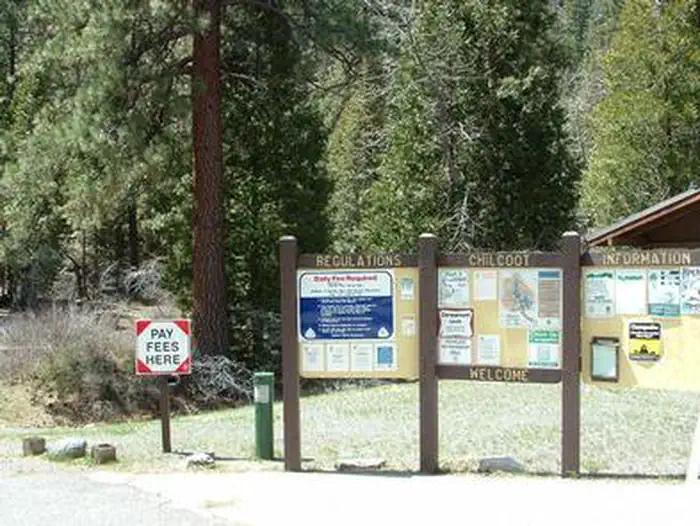
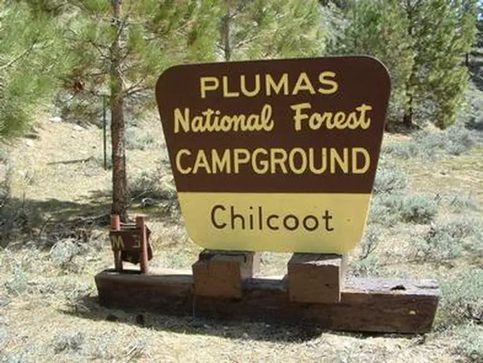
CHILCOOT Restroom — OIPCHILCOOT Campsite — OIPCHILCOOT Campsite Alt — OIPCHILCOOT Welcome Sign — oipCHILCOOT FS Sign — OIPChilcoot CG Sign — United States Forest Service
How to Get There
From Reno, Nevada, travel north on Highway 395. Merge onto Highway 70 west and continue 5 miles to Chilcoot. Turn north on Highway 284 and continue 5 miles to the campground.
Download your route in advance via Gaia, Caltopo, or OSM-based apps.
Recommendations adapt to the current forecast + trail stats. Use them as a starting point — local conditions, your experience, and the time of day you start all matter.
Plan Your Visit to CHILCOOT
Heading to CHILCOOT? A few things to know before you go:
Reservations: popular sites fill up fast — check Recreation.gov 6 months in advance
Fees: day-use and camping fees vary; check current rates on the official park page
Trash & pack-out: follow Leave No Trace principles
Wildlife: store food in bear boxes where provided; never feed wildlife
Weather: the 5-day forecast above is updated every 6 hours; verify just before you go
Frequently Asked Questions
Do I need a reservation for CHILCOOT?
No central reservation system listed for CHILCOOT. Check the official page (https://www.recreation.gov/camping/campgrounds/232826) for the latest entry policy and availability.
How do I get to CHILCOOT?
From Reno, Nevada, travel north on Highway 395. Merge onto Highway 70 west and continue 5 miles to Chilcoot. Turn north on Highway 284 and continue 5 miles to the campground.
How do I contact CHILCOOT?
You can reach the park at phone: 530-836-2575 or email: [email protected].