El Portal, California · Mariposa County · Campground
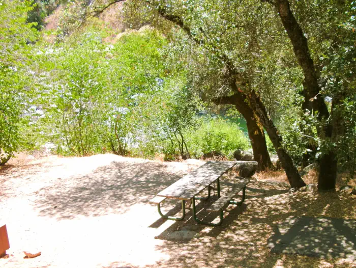
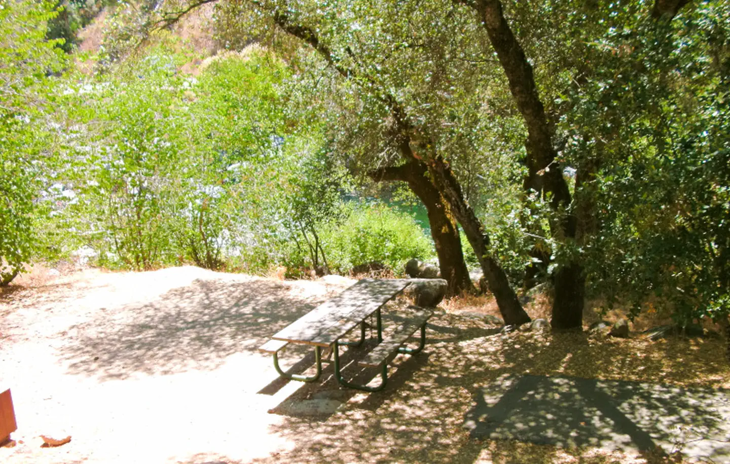
Overview Dry Gulch Campground sits on the north side of the Merced River. The small camp features walk-in tent sites on the river, shaded by a grove of pine and oak trees. Dry Gulch's remote location makes for a quiet and peaceful camping experience.Recreation During the spring and early summer, the Merced River is a p…
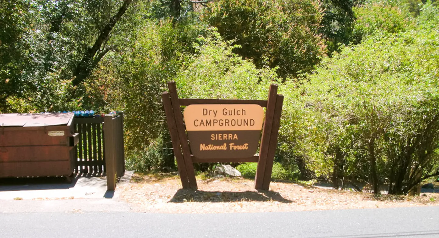
Overview Dry Gulch Campground sits on the north side of the Merced River. The small camp features walk-in tent sites on the river, shaded by a grove of pine and oak trees. Dry Gulch's remote location makes for a quiet and peaceful camping experience.Recreation During the spring and early summer, the Merced River is a popular location for white water rafting and kayaking. Several private companies offer guided rafting trips.Facilities The camping sites at Dry Gulch do meet accessibility standards and offer picnic tables, grills and fire rings. Vault toilets are available.Natural Features Dry Gulch Campground is located in the Bass Lake Ranger District at an elevation of 3,400 feet. The Lake is a very popular area known for its variety of fish, as well as the bald and golden eagles that make their home here. The Sierra National Forest, located on the western slope of the central Sierra Nevada, is known for its spectacular mountain scenery and abundant natural resources. The terrain includes rolling, oak-covered foothills, heavily forested middle elevation slopes and the starkly beautiful alpine landscape of the High Sierra. Nearby Attractions This campground is close to the west entrance to Yosemite National Park. Yosemite offers a variety of activities that include scenic driving, picnicking, hiking and fishing.Charges & Cancellations Once your reservation start date has begun, neither the Recreation.gov Contact Center nor the campground manager will be able to modify your reservation.
Photos
Dry GulchDry GulchDry Gulch
How to Get There
From Highway 140, turn on to Foresta Road. Landmarks include Red Bud Picnic Area and a National Park Service warehouse. After bridge, turn left onto the spur road. Immediately turn left onto Incline Road. Continue 1.3 miles to the facility.
Download your route in advance via Gaia, Caltopo, or OSM-based apps.
Recommendations adapt to the current forecast + trail stats. Use them as a starting point — local conditions, your experience, and the time of day you start all matter.
Plan Your Visit to DRY GULCH
Heading to DRY GULCH? A few things to know before you go:
Reservations: popular sites fill up fast — check Recreation.gov 6 months in advance
Fees: day-use and camping fees vary; check current rates on the official park page
Trash & pack-out: follow Leave No Trace principles
Wildlife: store food in bear boxes where provided; never feed wildlife
Weather: the 5-day forecast above is updated every 6 hours; verify just before you go
Frequently Asked Questions
Do I need a reservation for DRY GULCH?
No central reservation system listed for DRY GULCH. Check the official page (https://www.recreation.gov/camping/campgrounds/233842) for the latest entry policy and availability.
How do I get to DRY GULCH?
From Highway 140, turn on to Foresta Road. Landmarks include Red Bud Picnic Area and a National Park Service warehouse. After bridge, turn left onto the spur road. Immediately turn left onto Incline Road. Continue 1.3 miles to the facility.
How do I contact DRY GULCH?
You can reach the park at phone: 559-642-3212 or email: [email protected].