Big Creek, California · Madera County · Campground
Overview Rock Creek Campground will be closed until further notice due to a massive hazard tree removal. Rock Creek Campground sits on a large, sandy flat under a grove of oak, pine and cedar trees. The sites are divided into three sections, with Rock Creek running through the middle. One section of the camp sits neare…
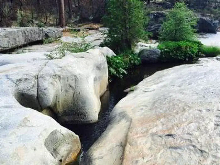
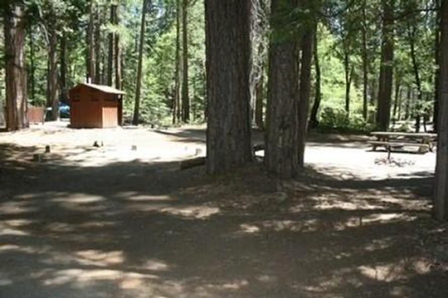
Overview Rock Creek Campground will be closed until further notice due to a massive hazard tree removal. Rock Creek Campground sits on a large, sandy flat under a grove of oak, pine and cedar trees. The sites are divided into three sections, with Rock Creek running through the middle. One section of the camp sits nearest the access road; the other two sections can be reached via a bridge over Rock Creek. On this side, the largest section is located in closest to the swimming holes and rock water slide in the area.Recreation Swimming holes can be found along the creek, and the campground's proximity to Mammoth Pool Reservoir provides even more recreational activities, including fishing, boating and hiking.Facilities Each campsite has a picnic table and campfire ring with grill. Parking spurs are paved and dirt-surfaced. Vault toilets and drinking water are provided. Supplies can be purchased at Wagner's Mammoth Pool Resort.Natural Features The Sierra National Forest, located on the western slope of the central Sierra Nevada, is known for its spectacular mountain scenery and abundant natural resources. The terrain includes rolling, oak-covered foothills, heavily forested middle elevation slopes and the starkly beautiful alpine landscape of the High Sierra. Rock Creek Campground is located close to Mammoth Pool Reservoir near the Ansel Adams Wilderness. This area is known for its jagged peaks, including 13,157-foot Mt. Ritter, and numerous lakes and streams. Nearby Attractions The campground is located off the Sierra Vista Scenic Byway, an 83-mile driving route with views of some of the Sierra National Forest's most striking landmarks.
Photos
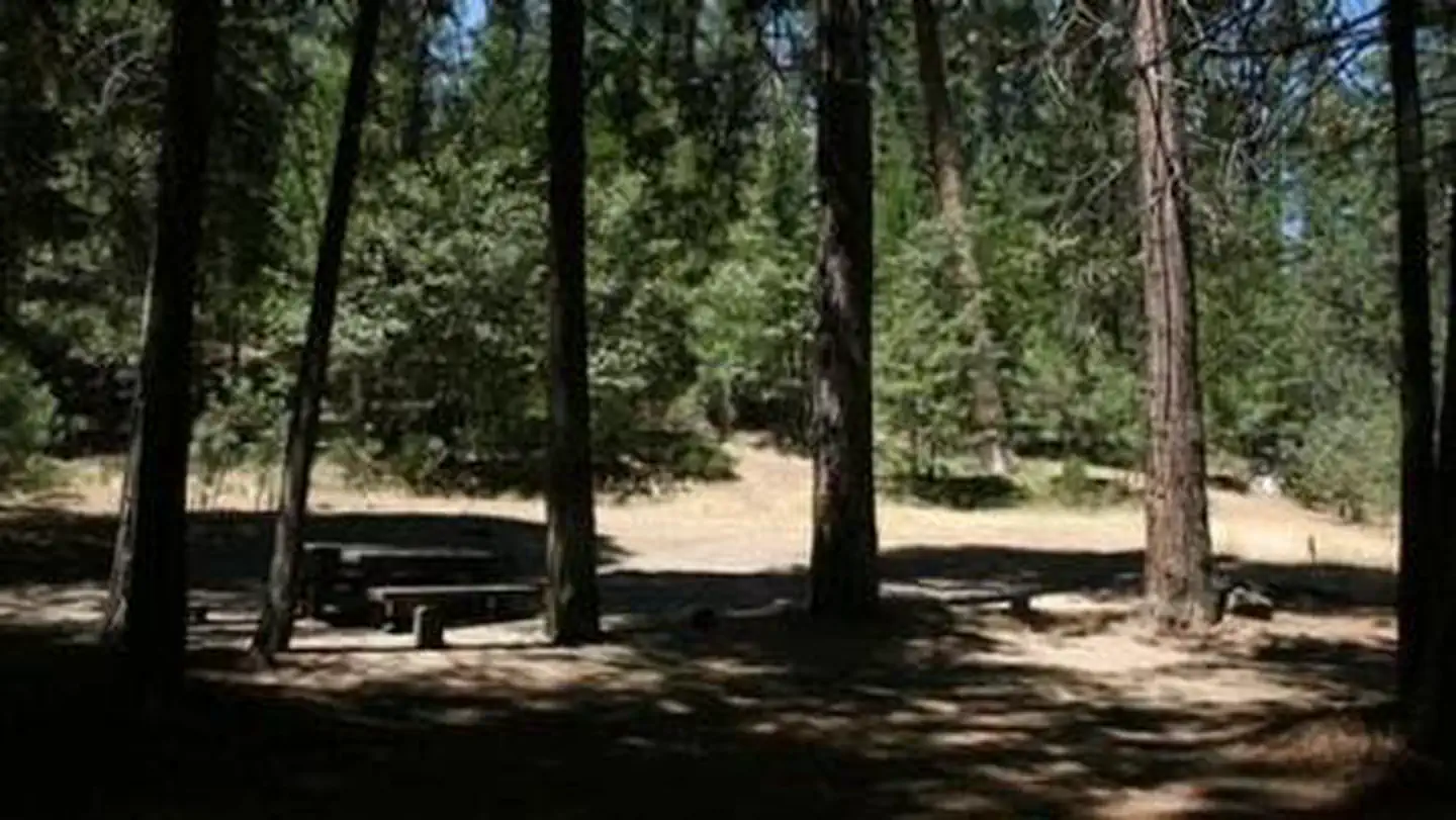
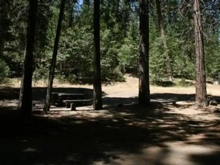
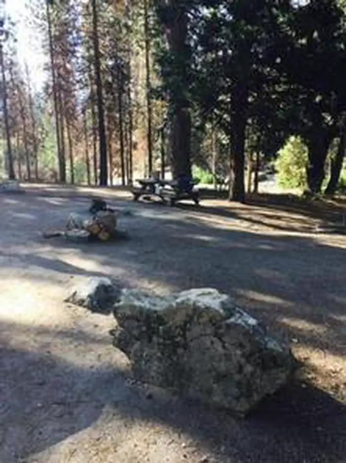
ROCK CREEK (SIERRA NATL FORES)ROCK CREEK (SIERRA NATL FORES)A picnic table under a shady grove — USFSROCK CREEK (SIERRA NATL FORES)
How to Get There
From Fresno, California, take Highway 41 north. Turn east on Forest Road 200 and pass through North Fork. Take Minarets Road east for 22 miles to Rock Creek Campground.
Download your route in advance via Gaia, Caltopo, or OSM-based apps.
Recommendations adapt to the current forecast + trail stats. Use them as a starting point — local conditions, your experience, and the time of day you start all matter.
Plan Your Visit to Rock Creek (Sierra National Forest, CA)
Heading to Rock Creek (Sierra National Forest, CA)? A few things to know before you go:
Reservations: popular sites fill up fast — check Recreation.gov 6 months in advance
Fees: day-use and camping fees vary; check current rates on the official park page
Trash & pack-out: follow Leave No Trace principles
Wildlife: store food in bear boxes where provided; never feed wildlife
Weather: the 5-day forecast above is updated every 6 hours; verify just before you go
Frequently Asked Questions
Do I need a reservation for Rock Creek (Sierra National Forest, CA)?
No central reservation system listed for Rock Creek (Sierra National Forest, CA). Check the official page (https://www.recreation.gov/camping/campgrounds/232818) for the latest entry policy and availability.
How do I get to Rock Creek (Sierra National Forest, CA)?
From Fresno, California, take Highway 41 north. Turn east on Forest Road 200 and pass through North Fork. Take Minarets Road east for 22 miles to Rock Creek Campground.
How do I contact Rock Creek (Sierra National Forest, CA)?
You can reach the park at phone: 559-642-3212 or email: [email protected].