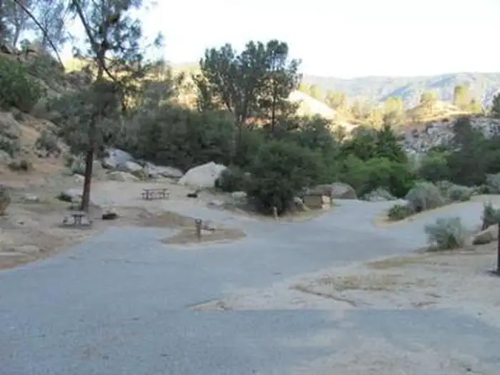
Overview Sandy Flat Campground is set back from the Lower Kern River at an altitude of 2,300 feet near the town of Lake Isabella. Campsites are a short walk from the river, offering countless recreational opportunities for visitors. Recreation Hiking, trout fishing, river wading and floating are popular pursuits. The H…
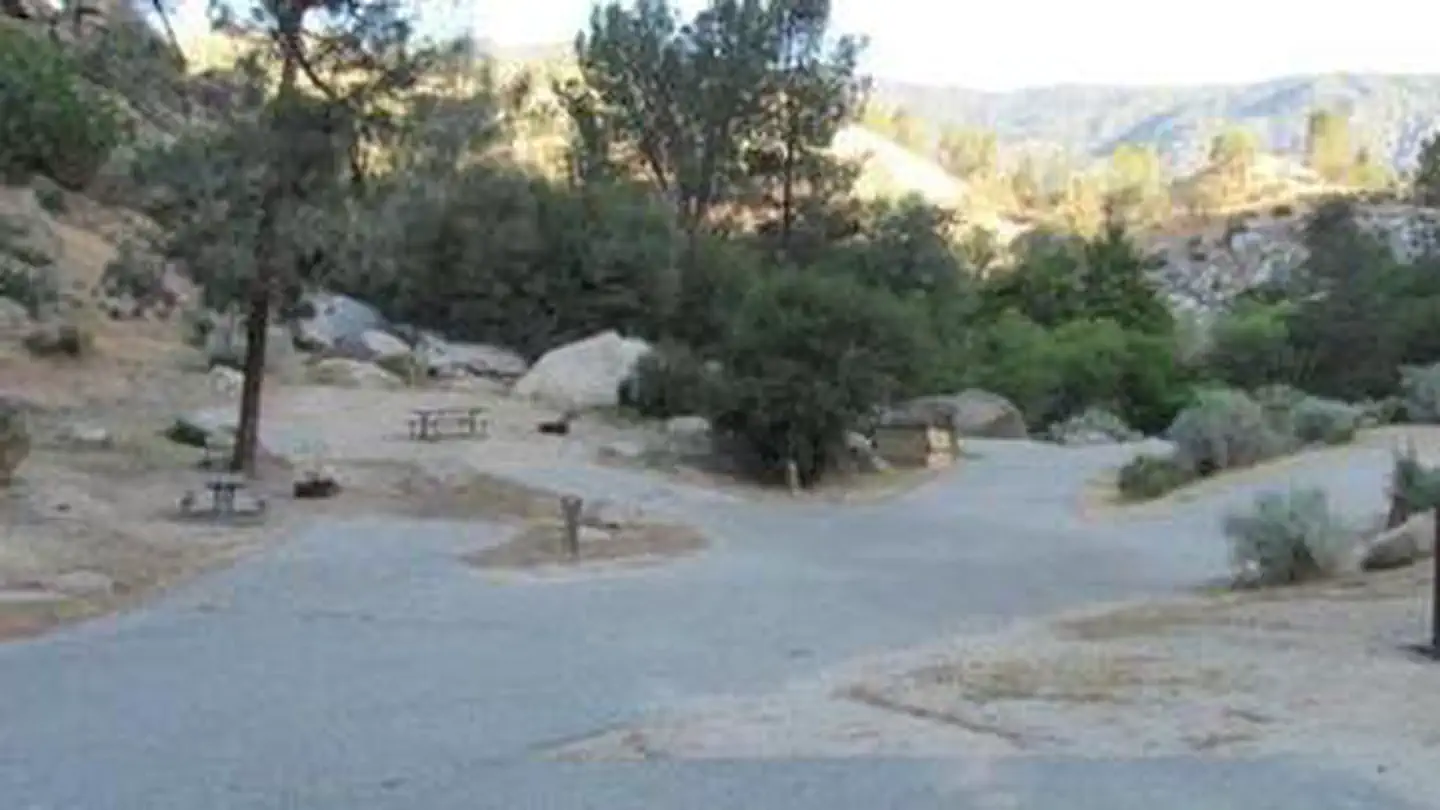
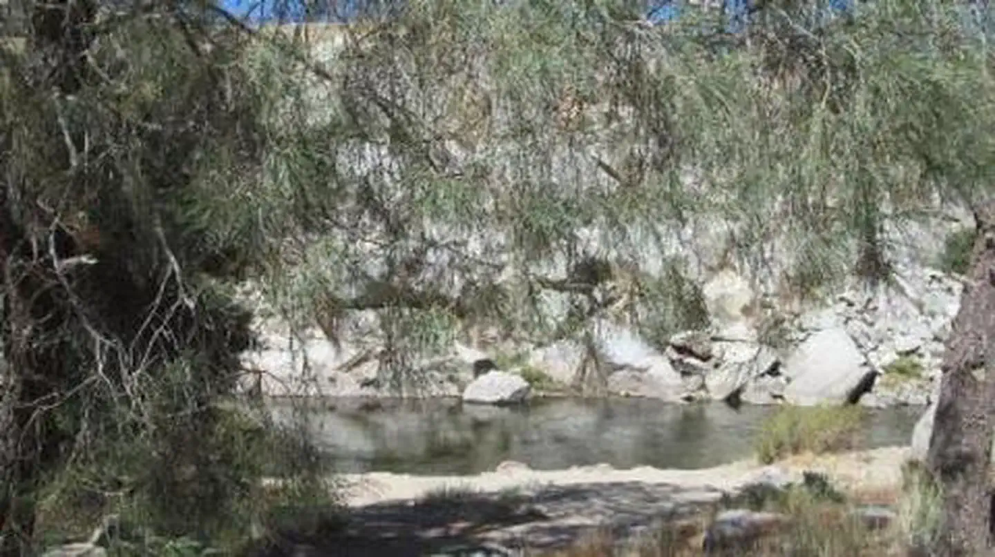
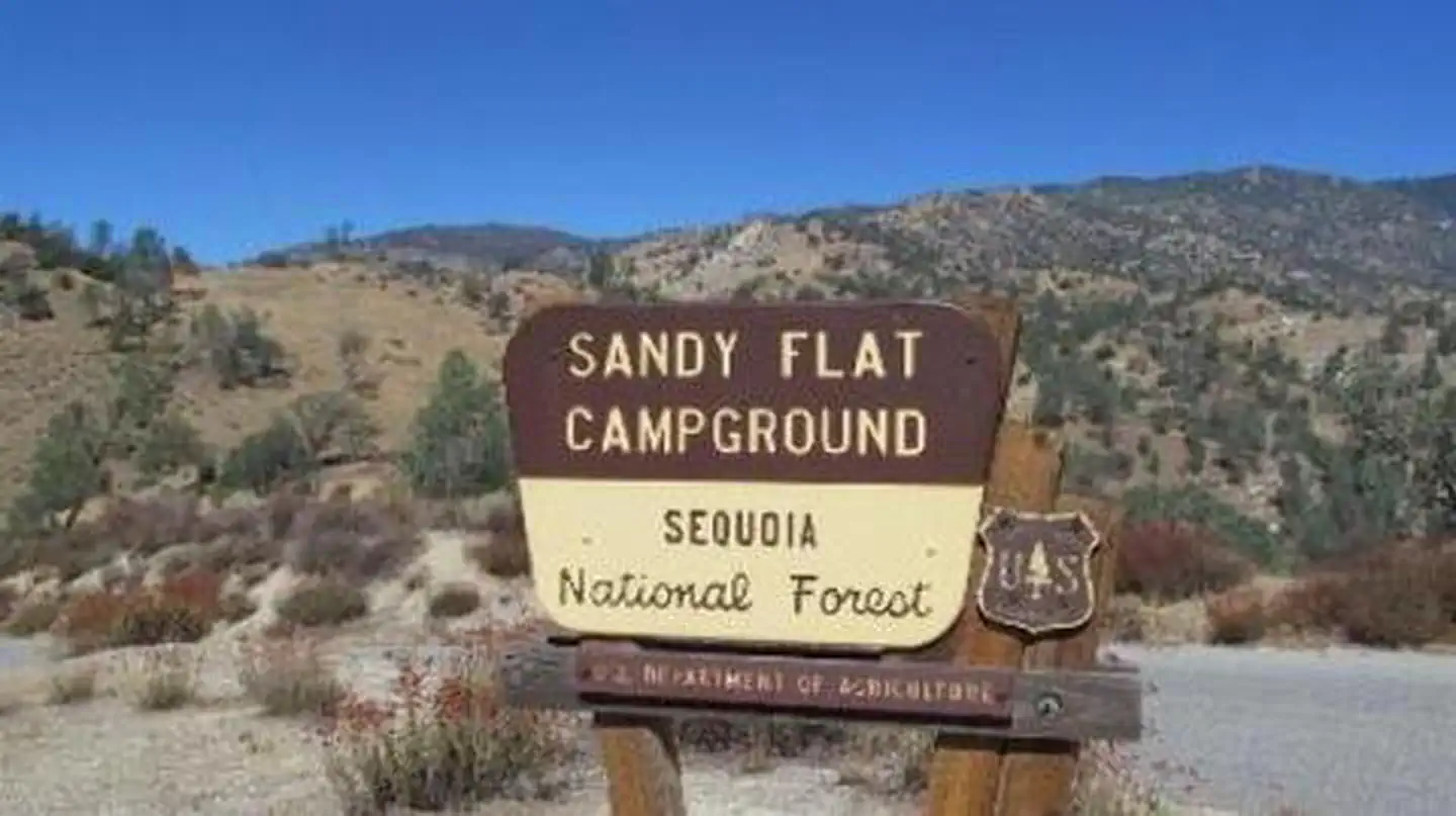
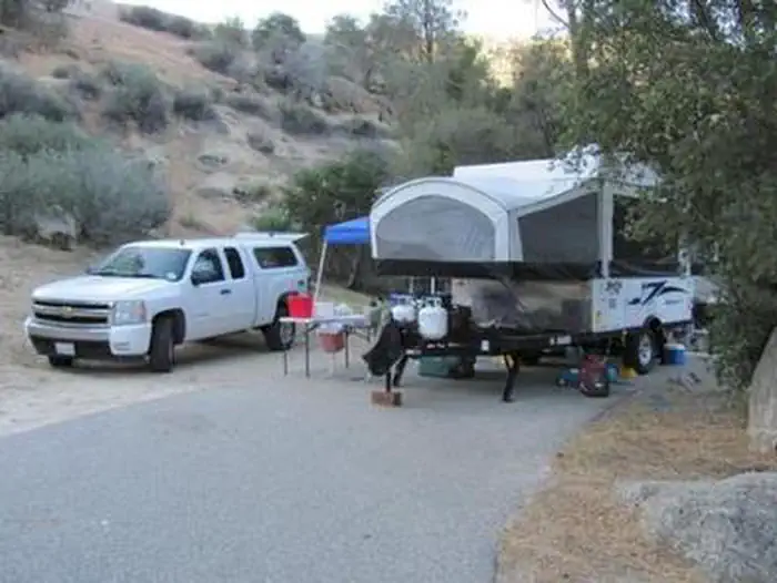
Overview Sandy Flat Campground is set back from the Lower Kern River at an altitude of 2,300 feet near the town of Lake Isabella. Campsites are a short walk from the river, offering countless recreational opportunities for visitors. Recreation Hiking, trout fishing, river wading and floating are popular pursuits. The Hobo Fishing Trail, a short walking trail, is nearby. Click here to learn more about the Lower Kern River, including safety and permitting requirements and a listing of local outfitters.Facilities Campsites are set along one loop in largely open sites. Large boulders, relics of the ice age, are scattered throughout the campground. River access is in the day camp area. Drinking water, picnic areas and vault toilets are provided. Natural Features The Sequoia National Forest, located at the southern end of the Sierra Nevada in central California, takes its name from the giant sequoia, the world's largest tree, which grows in more than 30 groves on the Forest's lower slopes. The Forest comprises about 1.1 million acres, and elevations range from about 1,000 to 12,000 feet, creating precipitous canyons and mountain streams with spectacular waterfalls such as Salmon Creek Falls and Grizzly Falls. Contact Info For facility specific information, please call (760) 376-1269. Nearby Attractions The Giant Sequoia Mercantile offers a wide variety of books, maps, gifts, local art, camping supplies and other merchandise.
Photos
SANDY FLATSANDY FLATSANDY FLATSANDY FLAT
How to Get There
From Highway 99, take Highway 178 east for 4 miles. Turn right on Borel Road, then right onto the Old Canyon Road. Continue about 2 miles, then turn right into Sandy Flats Campground.
Download your route in advance via Gaia, Caltopo, or OSM-based apps.
Recommendations adapt to the current forecast + trail stats. Use them as a starting point — local conditions, your experience, and the time of day you start all matter.
Plan Your Visit to SANDY FLAT
Heading to SANDY FLAT? A few things to know before you go:
Reservations: popular sites fill up fast — check Recreation.gov 6 months in advance
Fees: day-use and camping fees vary; check current rates on the official park page
Trash & pack-out: follow Leave No Trace principles
Wildlife: store food in bear boxes where provided; never feed wildlife
Weather: the 5-day forecast above is updated every 6 hours; verify just before you go
Frequently Asked Questions
Do I need a reservation for SANDY FLAT?
No central reservation system listed for SANDY FLAT. Check the official page (https://www.recreation.gov/camping/campgrounds/233182) for the latest entry policy and availability.
How do I get to SANDY FLAT?
From Highway 99, take Highway 178 east for 4 miles. Turn right on Borel Road, then right onto the Old Canyon Road. Continue about 2 miles, then turn right into Sandy Flats Campground.
How do I contact SANDY FLAT?
You can reach the park at phone: 760-376-1815 or email: [email protected].