Whiskeytown National Recreation Area Ranger-Guided Kayak and Paddle Board Tours
Old Station, California · Shasta County · Ticket Facility
Overview:Whiskeytown National Recreation Area, located in northern California, is a unit of the National Park Service. The 42,000-acre park is situated eight miles west of Redding at the northern edge of the Sacramento river valley, in the foothills of the Klamath Mountains. The park was established in 1965 as part of …
About Whiskeytown National Recreation Area Ranger-Guided Kayak and Paddle Board Tours
Overview:Whiskeytown National Recreation Area, located in northern California, is a unit of the National Park Service. The 42,000-acre park is situated eight miles west of Redding at the northern edge of the Sacramento river valley, in the foothills of the Klamath Mountains. The park was established in 1965 as part of the Central Valley project. Whiskeytown Lake provides a dependable water supply, flood control, hydroelectric power, and numerous recreational opportunities. Each year, approximately 800 thousand visitors come to enjoy the unique experiences that only can be had at Whiskeytown. We invite you to explore the park's natural beauty, majestic views, and abundant wildlife via kayak or paddle board while participating in a ranger-guided tour.
Photos
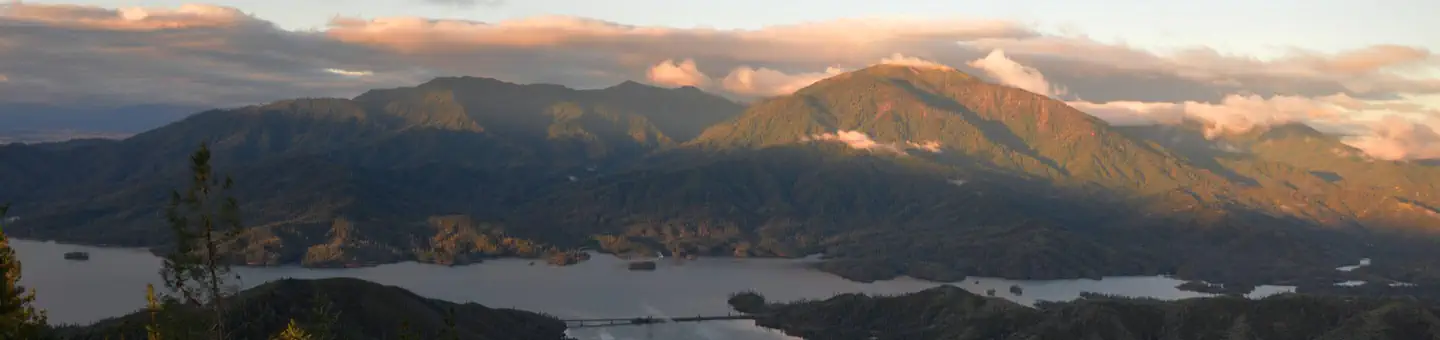
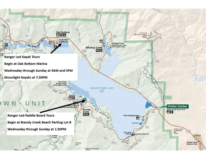
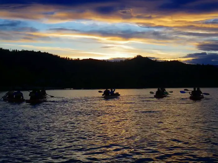
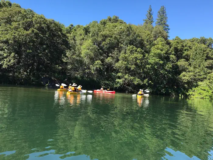
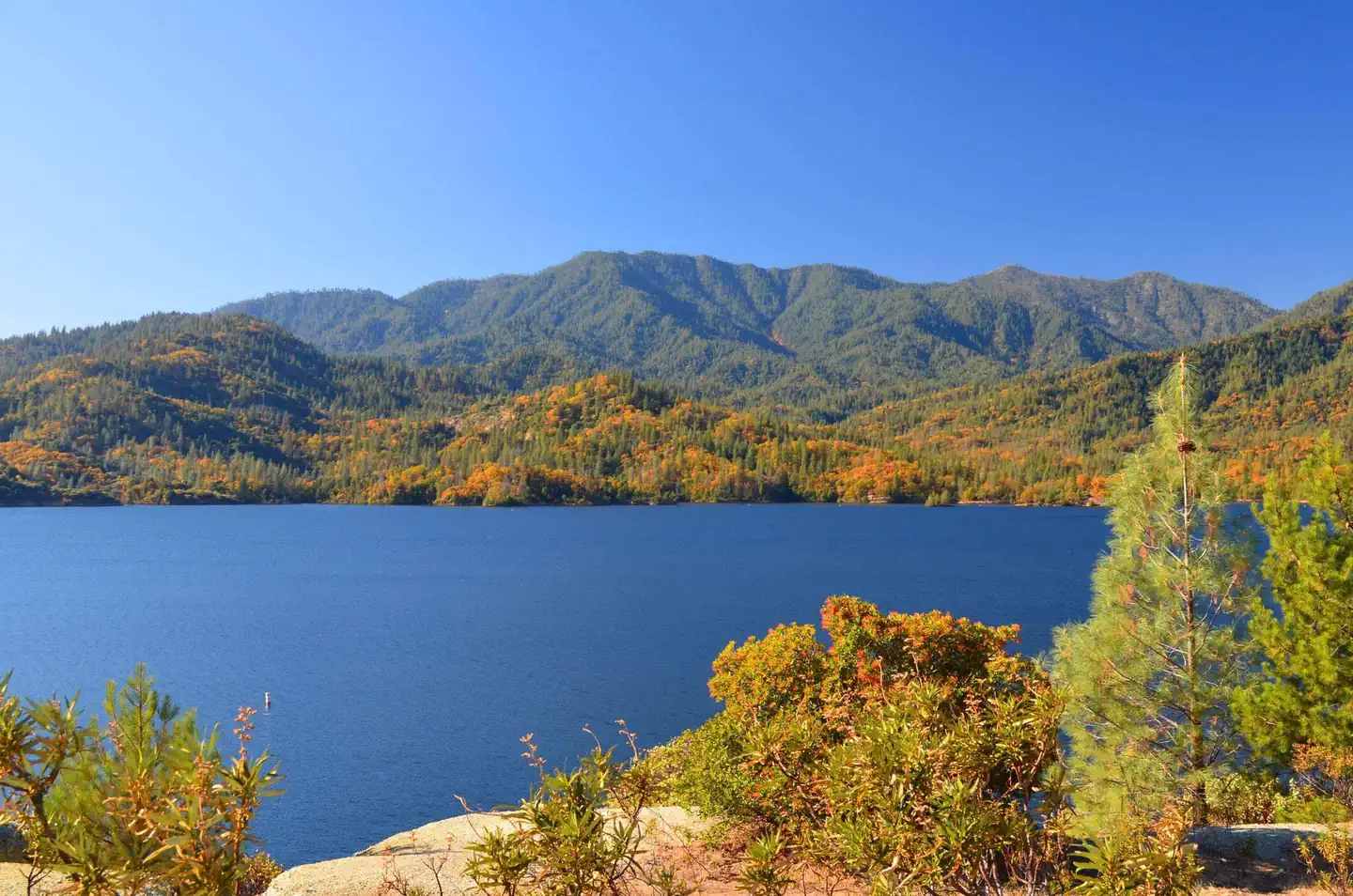
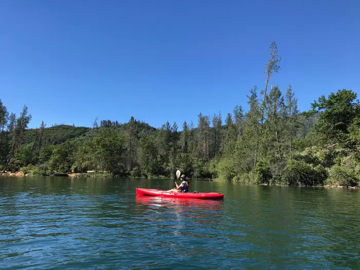
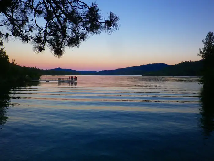
Map of program locations — NPSKayakers are silhouetted against the setting sun as they head out on a moonlight tour. — Matt Switzer/ NPSA tour of brightly colored kayaks pauses near a forested shoreline. The water is clear, emerald-green, and inviting. — Ellen Petrick/ NPSSteep mountains rise from the shores of a blue lake, under a cloudless blue sky. Fall foliage adds splashes of bright orange to a backdrop of green trees along the shore. — Matt Switzer, NPSA bright red kayak under a cloudless blue sky along a wooded shore. — Ellen Petrick/ NPSSilhouettes of surrounding mountains and trees frame a sunset scene along Whiskeytown Lake. — Matt Switzer/ NPS
How to Get There
Link to park map: Directions to the Ranger-Guided Kayak and Paddle Board Programs: Kayakers: meet at Oak Bottom at the kayak shed near the amphitheater. The Oak Bottom area is on the north shore of Whiskeytown Lake, 5.1 miles west of the visitor center if approaching from the east (Redding), or 3.3 miles east of the junction of highway 299 and Trinity Mountain Rd., if approaching from the west (Eureka/Weaverville). Paddle Boarders: Meet at Brandy Creek Beach Lot "B": Brandy Creek is on the south shore of Whiskeytown Lake. Traveling from Redding on Highway 299, turn left at the visitor center onto John F. Kennedy Memorial Drive. Brandy Creek Beach is approximately 4.2 miles from the visitor center. You will drive across the dam and continue on until you see the signs for "Brandy Creek Beach". Turn right at Brandy Creek Beach and follow the access road to Brandy Creek parking, Lot "B". Look for the brown metal shed at the north end of the parking lot. Directions to the Whiskeytown National Recreation Area Visitor Center: From the East via Redding, CA: The park's only visitor center is located on the eastern shore of Whiskeytown Lake, eight miles (13 km) west of Redding, CA, at the intersection of state highway 299 and Kennedy Memorial Drive. From the West via Eureka/Weaverville, CA: State highway 299 enters the park at its NW boundary near the intersection of state highway 299 and Trinity Mountain Rd. From this intersection, continue 8.4 miles (13.5 km) to the visitor center, l
Plan Your Visit to Whiskeytown National Recreation Area Ranger-Guided Kayak and Paddle Board Tours
Heading to Whiskeytown National Recreation Area Ranger-Guided Kayak and Paddle Board Tours? A few things to know before you go:
Reservations: popular sites fill up fast — check Recreation.gov 6 months in advance
Fees: day-use and camping fees vary; check current rates on the official park page
Trash & pack-out: follow Leave No Trace principles
Wildlife: store food in bear boxes where provided; never feed wildlife
Weather: the 5-day forecast above is updated every 6 hours; verify just before you go
Frequently Asked Questions
Do I need a reservation for Whiskeytown National Recreation Area Ranger-Guided Kayak and Paddle Board Tours?
No central reservation system listed for Whiskeytown National Recreation Area Ranger-Guided Kayak and Paddle Board Tours. Check the official page (https://www.recreation.gov/camping/campgrounds/274349) for the latest entry policy and availability.
How do I get to Whiskeytown National Recreation Area Ranger-Guided Kayak and Paddle Board Tours?
Link to park map: Directions to the Ranger-Guided Kayak and Paddle Board Programs: Kayakers: meet at Oak Bottom at the kayak shed near the amphitheater. The Oak Bottom area is on the north shore of Whiskeytown Lake, 5.1 miles west of the visitor center if approaching from the east (Redding), or 3.3 miles east of the junction of highway 299 and Trinity Mountain Rd., if approaching from the west (Eu…
How do I contact Whiskeytown National Recreation Area Ranger-Guided Kayak and Paddle Board Tours?
You can reach the park at phone: 530-246-1225 or email: [email protected].