Santa Margarita, California · San Luis Obispo County · Campground
Overview La Panza Campground is full of opportunities to relax or explore the forest. Nearby is Machesna Mountain Wilderness where hiking, hunting and horseback riding are popular. Off-high vehicle (OHV) recreation is also plentiful in the area.Recreation La Panza Campground is best enjoyed by campers who prefer a rugg…
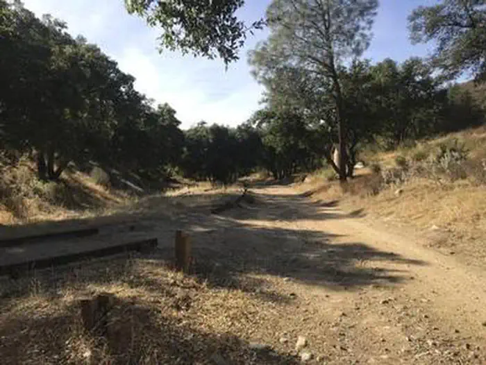
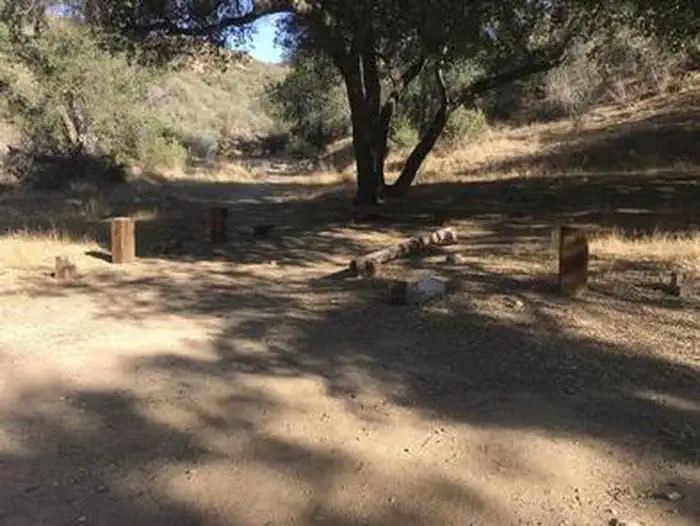
Overview La Panza Campground is full of opportunities to relax or explore the forest. Nearby is Machesna Mountain Wilderness where hiking, hunting and horseback riding are popular. Off-high vehicle (OHV) recreation is also plentiful in the area.Recreation La Panza Campground is best enjoyed by campers who prefer a rugged outdoor experience. The Pozo La Panza 18,867-acre area has approximately 44 miles of routes that vary from sandy washes to a ridgeline route including a section known to expert OHV riders as the Stair Steps. With proximity to OHV trails, this spot will keep the adrenaline junkies enthused as well as the avid hiker. Bring your bikes, motorcycles, ATVs and four-wheel drive vehicles to enjoy the amazing trail experience!Facilities This campground is open daily and year-round. There are 15 single and spaciously situated campsites ideal for tenting, and moderate RVs under 16 ft. Campfires are allowed only in designated fire rings. You should plan to be completely self-sustainable for the duration of your trip. There is no potable water (drinking water) or electricity onsite. There is no dump station. This is a "dry" campground with five vault toilets. The road into the campground ends cul-de-sac style, but with adequate turn around.Natural Features La Panza Campground is situated in a canyon setting, encompassed by a gathering of established oak trees, and accented by a seasonal creek. Fox, coyote, road runner, deer, wild pig, jack rabbit, quail, and very rare black bear, all visit this area. Nearby Attractions Lakes, trails, beautiful views, biking, hiking and off-road vehicle riding are all within minutes of the campground. The nearest shopping is 29 miles in Santa Margarita.
Directions from Santa Margarita, CA: Travel Highway 58, 3 miles east, Pozo Road approximately 26 miles east, Forest Road 29S18, 1.5 miles east. Alternate route: Highway 58, 26 miles east, Navajo Road 3 miles south, Pozo Road half a mile east.
Download your route in advance via Gaia, Caltopo, or OSM-based apps.
Recommendations adapt to the current forecast + trail stats. Use them as a starting point — local conditions, your experience, and the time of day you start all matter.
Plan Your Visit to LA PANZA CAMPGROUND
Heading to LA PANZA CAMPGROUND? A few things to know before you go:
Reservations: popular sites fill up fast — check Recreation.gov 6 months in advance
Fees: day-use and camping fees vary; check current rates on the official park page
Trash & pack-out: follow Leave No Trace principles
Wildlife: store food in bear boxes where provided; never feed wildlife
Weather: the 5-day forecast above is updated every 6 hours; verify just before you go
Frequently Asked Questions
Do I need a reservation for LA PANZA CAMPGROUND?
No central reservation system listed for LA PANZA CAMPGROUND. Check the official page (https://www.recreation.gov/camping/campgrounds/273870) for the latest entry policy and availability.
How do I get to LA PANZA CAMPGROUND?
Directions from Santa Margarita, CA: Travel Highway 58, 3 miles east, Pozo Road approximately 26 miles east, Forest Road 29S18, 1.5 miles east. Alternate route: Highway 58, 26 miles east, Navajo Road 3 miles south, Pozo Road half a mile east.