Midpines, California · Mariposa County · Campground
Overview Merced River Recreation Management Area Overview The Merced River Recreation Area is a special place just downstream from Yosemite. It is well known for excellent whitewater boating, wildflower viewing, camping, swimming, and recreational gold panning/prospecting. Visitors will have plenty to do in the Merced …
Overview Merced River Recreation Management Area Overview The Merced River Recreation Area is a special place just downstream from Yosemite. It is well known for excellent whitewater boating, wildflower viewing, camping, swimming, and recreational gold panning/prospecting. Visitors will have plenty to do in the Merced River Recreation Area during every season. Springtime comes early to the Merced River Canyon and by March the wildflower season is well on its way—lasting into May. Easy access, un-damned flows, and excellent whitewater boating attract rafters and kayakers during the spring runoff (April through July). Commercial rafting trips are available from the following BLM permitted outfitters: All Outdoors, ARTA, OARS, and Zephyr (Contact outfitters directly for more information). It is a very popular swimming destination during the hot California foothill summers with some of the clearest swimming hole around. Gold panning and prospecting have never fallen out of favor since the 1850’s when this canyon had a large mining population. In autumn the crowds subside and the Merced River Recreation Area provides more solitude while still offering most of the appeal and activities as earlier in the year. By winter, true solitude can be found. The weather is usually quite warm and sunny between storms. Daytime highs in the 60’s and overnight lows in the 30’s are common.While some activities are best in specific seasons, there are many things to do all year long. Bird watching is good throughout the area most of the year. Fishing is popular for trout and bass along the entire river. Biking along the gravel roads and trails is popular with families and experienced mountain bikers alike. Hiking is great anytime of the year. The Merced River Trail continues on downstream from the end of the campground River Road and brings hikers or bikers to the North Fork of the Merced and beyond. The Burma Grade is another popular route to explore on foot, bike, or high-clearance autom
Photos
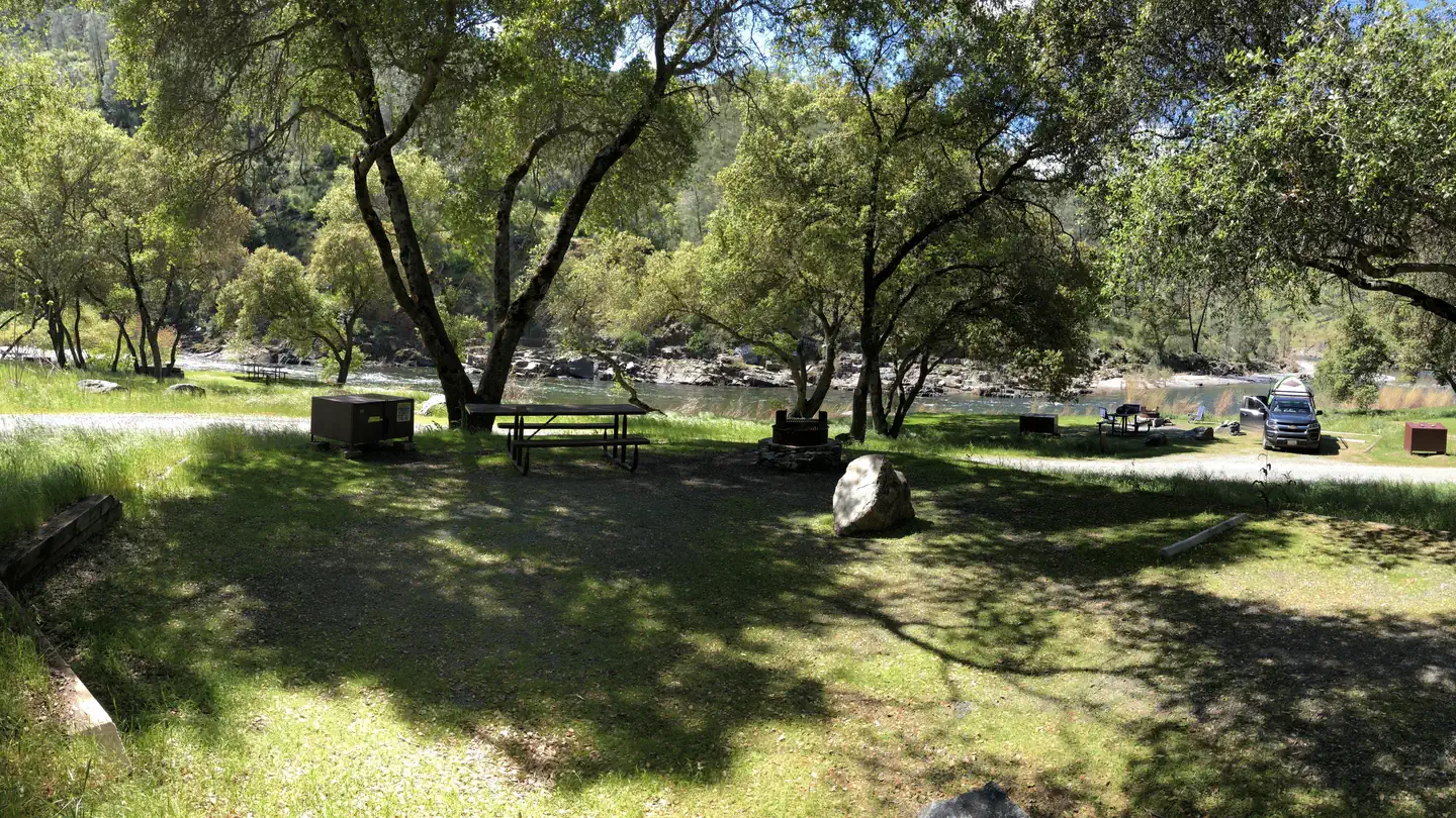
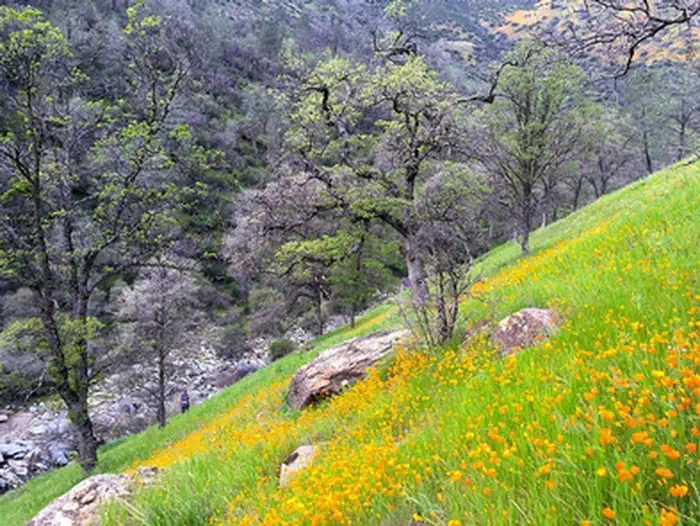
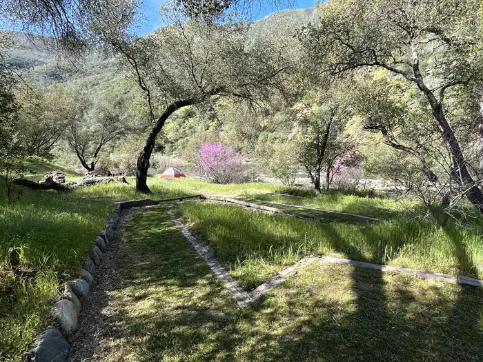
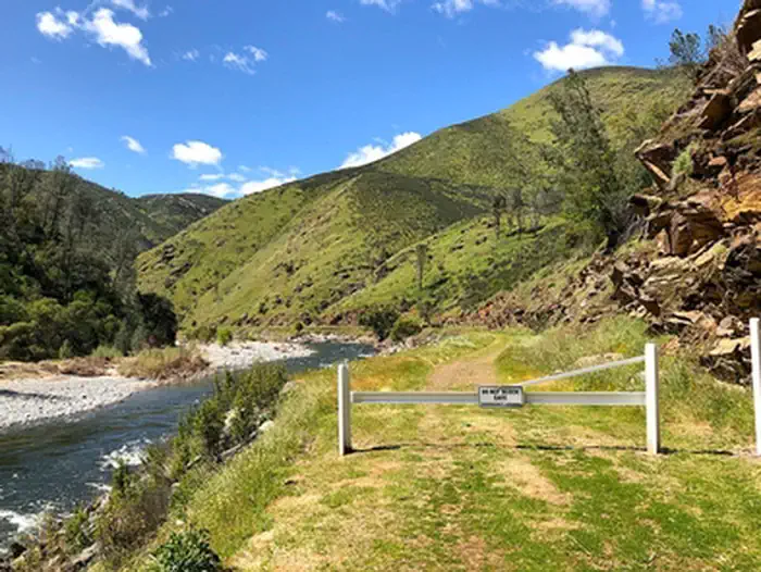
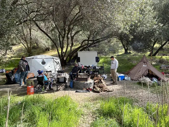
Halls Gulch—200 yards downstream from Railroad Flat Campground, spring time — BLM, David GreenwoodRailroad Flat Campground—In the spring — BLM, David GreenwoodRailroad Flat Campground in Spring with Kayakers — Photo by David Greenwood, BLMNorth Fork Merced River in Spring — Photo by David Greenwood, BLMHalls Gulch Bridge—Just downstream from Railroad Flat Campground — BLM, David GreenwoodRailroad Flat Campground—Spring time — BLM, David GreenwoodMerced River Trailhead near Railroad Flat Campground — Photo by David Greenwood, BLMPack Rafters—Launching for a summer float — BLM, David GreenwoodRailroad Flat Campground in Spring — Photo by David Greenwood, BLMHalls Gulch— spring time — BLM, David GreenwoodRailroad Flat typical drive-up decked out with tents, firewood, and evening slideshow amenities — Photo by David Greenwood, BLM
How to Get There
From Mariposa, take CA-140 east to Briceburg, where the highway first meets the Merced River. Turn into Briceburg and cross the Old Briceburg Suspension Bridge. Follow the Briceburg Road downstream 4.5 miles to Railroad Flat Campground.From Yosemite/El Portal, take CA-140 west (downstream) to Briceburg, where the highway starts to climb away from the Merced River. Turn into Briceburg and cross the Old Briceburg Suspension Bridge. Follow the Briceburg Road downstream 4.5 miles to Railroad Flat Campground.
Download your route in advance via Gaia, Caltopo, or OSM-based apps.
Recommendations adapt to the current forecast + trail stats. Use them as a starting point — local conditions, your experience, and the time of day you start all matter.
Plan Your Visit to Railroad Flat Campground
Heading to Railroad Flat Campground? A few things to know before you go:
Reservations: popular sites fill up fast — check Recreation.gov 6 months in advance
Fees: day-use and camping fees vary; check current rates on the official park page
Trash & pack-out: follow Leave No Trace principles
Wildlife: store food in bear boxes where provided; never feed wildlife
Weather: the 5-day forecast above is updated every 6 hours; verify just before you go
Frequently Asked Questions
Do I need a reservation for Railroad Flat Campground?
No central reservation system listed for Railroad Flat Campground. Check the official page (https://www.recreation.gov/camping/campgrounds/273836) for the latest entry policy and availability.
How many campsites are at Railroad Flat Campground?
Railroad Flat Campground has 9 campsites. Site amenities (hookups, vehicle limits, ADA access) vary — see the individual campsite pages for details.
How do I get to Railroad Flat Campground?
From Mariposa, take CA-140 east to Briceburg, where the highway first meets the Merced River. Turn into Briceburg and cross the Old Briceburg Suspension Bridge. Follow the Briceburg Road downstream 4.5 miles to Railroad Flat Campground.From Yosemite/El Portal, take CA-140 west (downstream) to Briceburg, where the highway starts to climb away from the Merced River. Turn into Briceburg and cross the…
How do I contact Railroad Flat Campground?
You can reach the park at phone: 916 941-3101 Mother Lode Field Office Main Phone or email: [email protected].