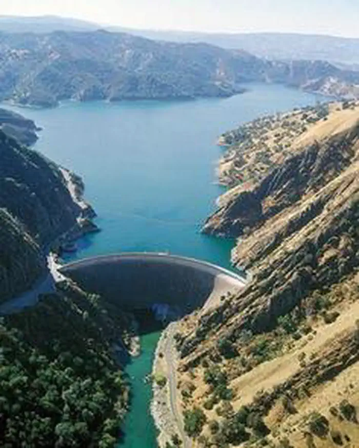
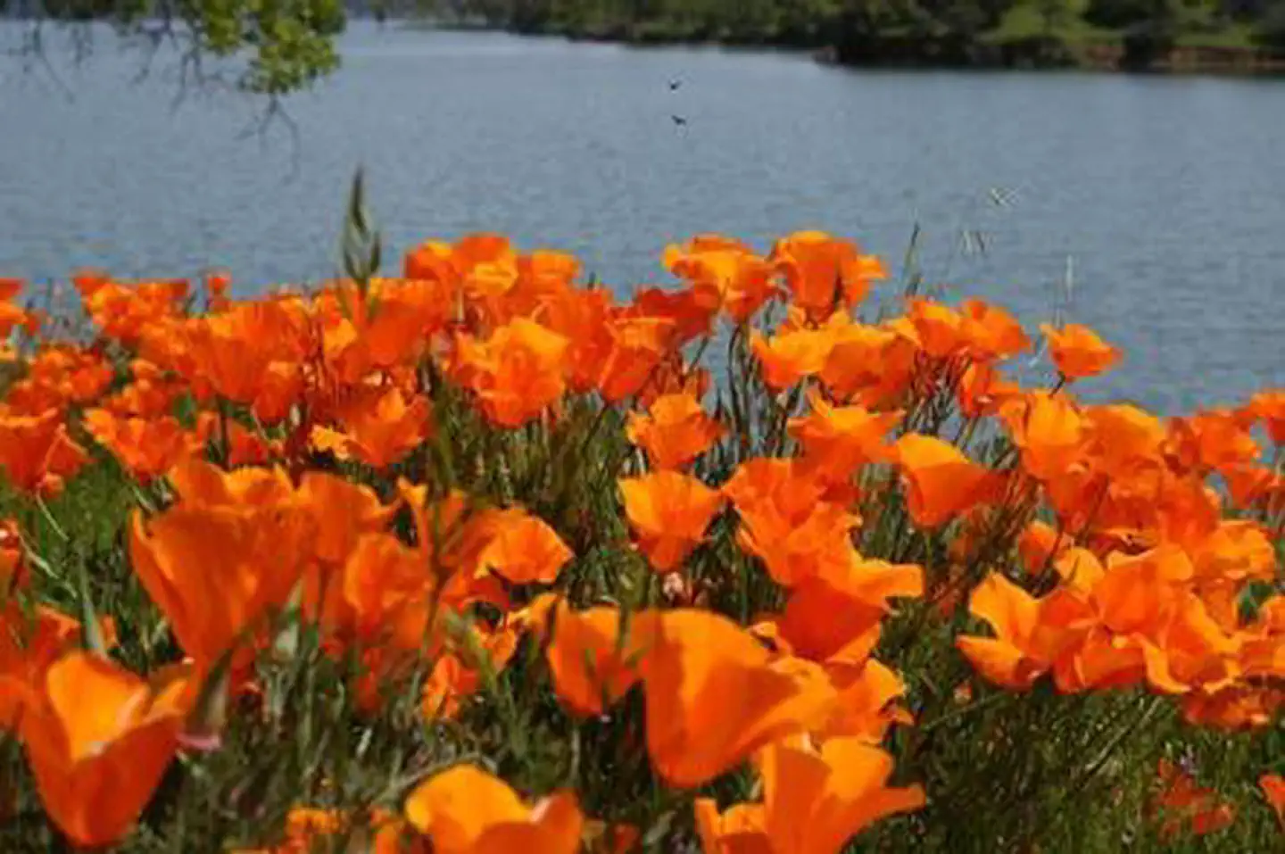
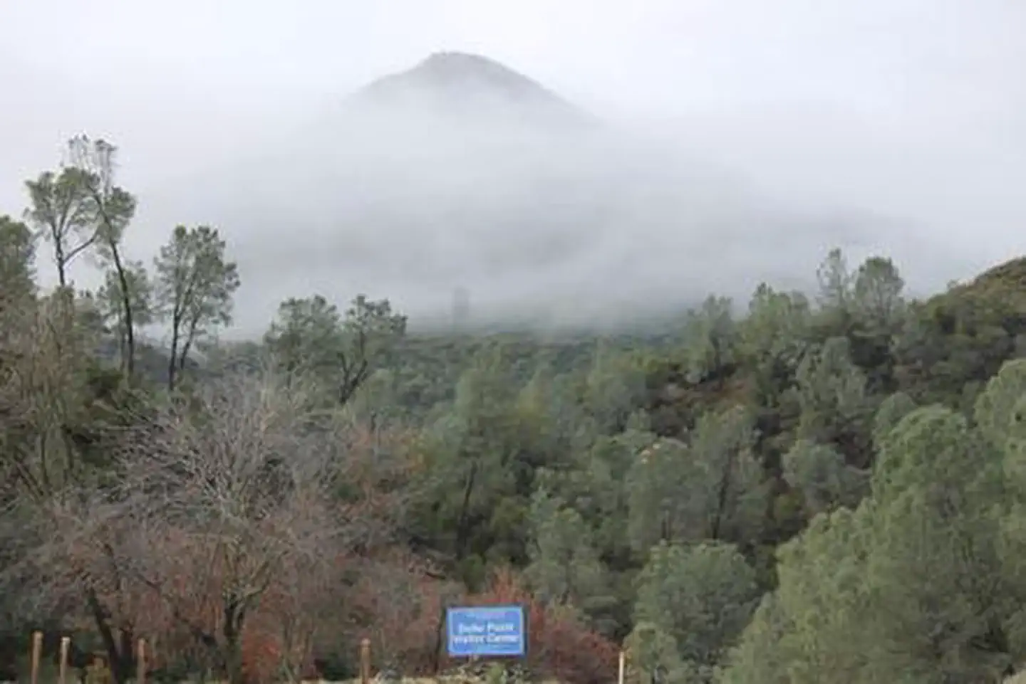
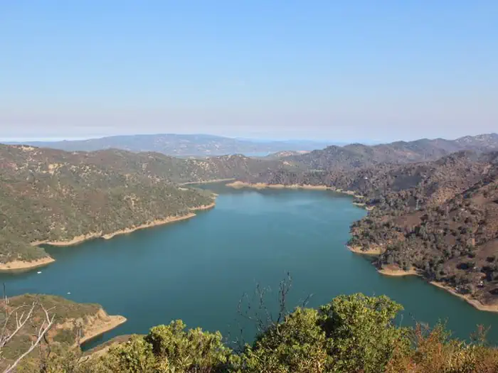
Overview Nestled between Blue Ridge and Cedar Roughs east of Napa Valley, Lake Berryessa provides ample public recreation opportunities. Popular activities on and around the large, yet uncrowded lake include fishing, boating, water skiing, wake boarding, jet skiing, sailing, swimming, kayaking, canoeing, wildlife viewi…
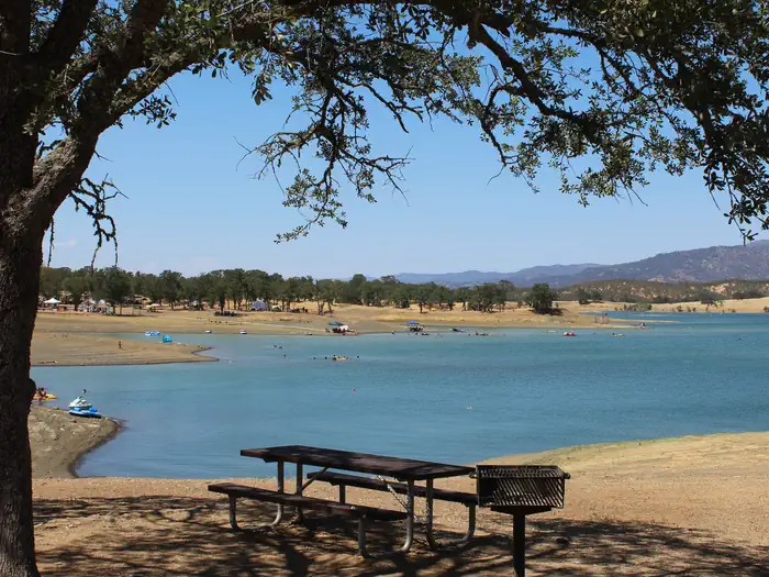
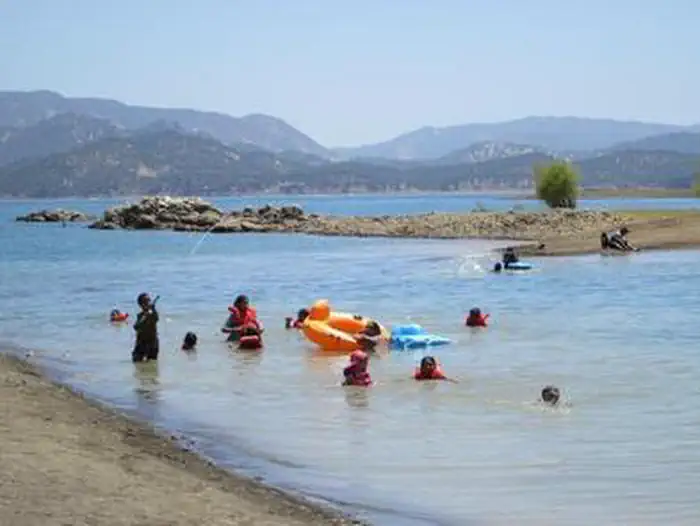
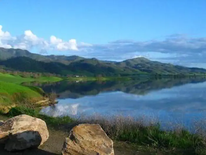
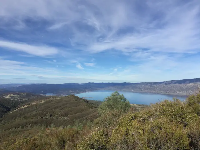
Overview Nestled between Blue Ridge and Cedar Roughs east of Napa Valley, Lake Berryessa provides ample public recreation opportunities. Popular activities on and around the large, yet uncrowded lake include fishing, boating, water skiing, wake boarding, jet skiing, sailing, swimming, kayaking, canoeing, wildlife viewing, hiking, biking and picnicking. The Dufer Point Visitor Center offers year-round interpretive events and exhibits highlighting natural and cultural resources. Lake Berryessa is a Federal reservoir managed by the Department of the Interior's Bureau of Reclamation, Mid-Pacific Region (Central California Area Office). Recreation Oak Shores and Smittle Creek Day Use areas offer free day use, beach activities, swimming, shoreline fishing and wildlife viewing. The 2.6-mile long Smittle Creek Trail connects the two areas. Commercial Concession Areas also provide a variety of recreation opportunities for a fee at the lake. These include camping, lodging, marina services, boat rentals and retail stores. Contact the concession areas directly for information about amenities and fees. For more information on concessions, visit: https://www.usbr.gov/mp/ccao/berryessa/visitor-info.htmlFacilities Reclamation Managed Day Use Areas offer more than 200 picnic sites which are equipped with picnic tables, barbeque grills, restrooms and drinking water. There are six covered group picnic sites that can be reserved or can be used on a first-come, first-served basis. Natural Features Lake Berryessa is more than just a great place for water recreation. The blue oak woodlands covering the surrounding hills are home to a wide variety of plants and animals, all dependent on each other to survive. Visitors can experience the beauty of Lake Berryessa by hiking the Smittle Creek Trail. The climate is Mediterranean with warm, dry summers and cool, wet winters. For those who wish to venture outside the main recreation areas, there are many unique places to visit. Overall, the geogr
Photos
OAK SHORES DAY USE AREA (CA)OAK SHORES DAY USE AREA (CA)OAK SHORES DAY USE AREA (CA)Lake BerryessaOAK SHORES DAY USE AREA (CA)OAK SHORES DAY USE AREA (CA)OAK SHORES DAY USE AREA (CA)
How to Get There
From Sacramento: Take I-80 west toward San Francisco, and take Exit 113 towards Woodland. Travel about 1.5 miles until you see the sign for Winters. Exit here and turn left at the light. Follow this road into Winters. This road turns into Highway 128. Continue on 128 til right hand turn on Knoxville Road. It is approximately 8 miles north on Knoxville Road. From San Francisco: Drive north on Interstate 80 and take the Napa turnoff onto Highway 29. Then turn onto Highway 121, following it to Highway 128. Continue on 128 til right hand turn on Knoxville Road. It is approximately 8 miles north on Knoxville Road.
Download your route in advance via Gaia, Caltopo, or OSM-based apps.
Recommendations adapt to the current forecast + trail stats. Use them as a starting point — local conditions, your experience, and the time of day you start all matter.
Plan Your Visit to OAK SHORES DAY USE AREA (CA)
Heading to OAK SHORES DAY USE AREA (CA)? A few things to know before you go:
Reservations: popular sites fill up fast — check Recreation.gov 6 months in advance
Fees: day-use and camping fees vary; check current rates on the official park page
Trash & pack-out: follow Leave No Trace principles
Wildlife: store food in bear boxes where provided; never feed wildlife
Weather: the 5-day forecast above is updated every 6 hours; verify just before you go
Frequently Asked Questions
Do I need a reservation for OAK SHORES DAY USE AREA (CA)?
No central reservation system listed for OAK SHORES DAY USE AREA (CA). Check the official page (https://www.recreation.gov/camping/campgrounds/250000) for the latest entry policy and availability.
How do I get to OAK SHORES DAY USE AREA (CA)?
From Sacramento: Take I-80 west toward San Francisco, and take Exit 113 towards Woodland. Travel about 1.5 miles until you see the sign for Winters. Exit here and turn left at the light. Follow this road into Winters. This road turns into Highway 128. Continue on 128 til right hand turn on Knoxville Road. It is approximately 8 miles north on Knoxville Road. From San Francisco: Drive north on Inter…
How do I contact OAK SHORES DAY USE AREA (CA)?
You can reach the park at phone: 707-966-2111 or email: [email protected].