Junction City, California · Trinity County · Campground
Overview Pigeon Point Group Campground is located on CA Highway 299 approximately 15 miles west of Weaverville, CA at 1100'. Located on the Wild and Scenic portion of the Trinity River, this campground is a wonderful place to camp when enjoying all the river has to offer. Recreation The Trinity River offers fun-filled …
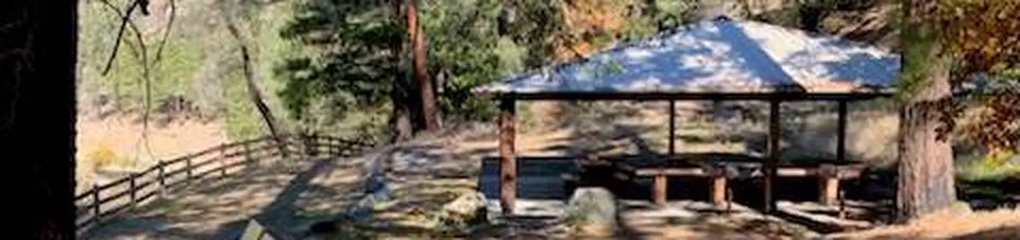
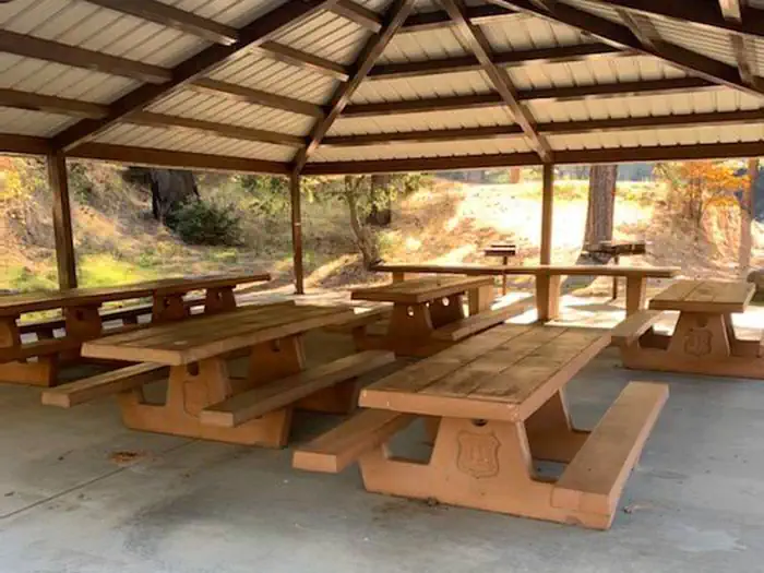
Overview Pigeon Point Group Campground is located on CA Highway 299 approximately 15 miles west of Weaverville, CA at 1100'. Located on the Wild and Scenic portion of the Trinity River, this campground is a wonderful place to camp when enjoying all the river has to offer. Recreation The Trinity River offers fun-filled hours of fishing, swimming, floating, rafting, kayaking and boating. River access is available at this location for boats that can be carried by hand. Nearby tributaries to the Trinity River offer beautiful spots to swim and spend the day. Generally, Pigeon Point to Big Flat is too dangerous for tuber and family canoeists. Boating is not advisted from Cedar Flat to Grays Falls except for expert boaters. Several commercial guides operate on the Trinity River under Forest Service Special Use permits. They provide quality guided raft and white water instruction and can be found on the Shasta-Trinity NF website . **Please note that the Trinity River is subject to periodic changes in flow conditions from releases from Lewiston Dam. Current flows (CFS) can be obtained by calling (530) 246-7594. Facilities There is one group site located at this campground. There are picnic tables, fire rings and vault toilets. No potable water is available. Natural Features Located on the Wild and Scenic portion of the Trinity River, this campground has a beautiful view of the river.
Photos
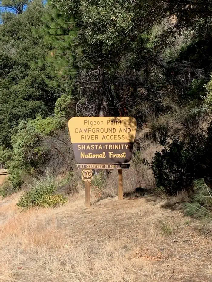
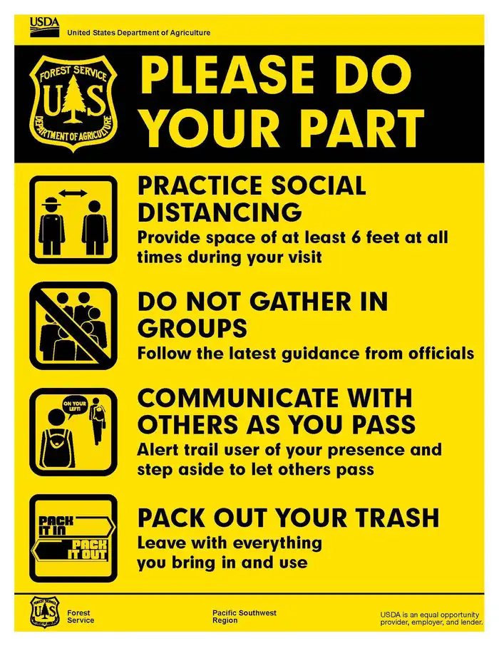
Entrance sign for Pigeon Point — USFSPlease Do Your Part — USDAPicnic tables under shelter — USFS
How to Get There
Pigeon Point Group Campground is located on the south side of CA Highway 299 15 miles west of Weaverville, CA. To get to Skunk Point Group Campground from Redding, CA: Travel West on CA Highway 299, through Weaverville, CA, for approximately 60 miles. To get to Pigeon Point Group Campground from Arcata, CA: Travel East on CA Highway 299 for approximately 80 miles.
Download your route in advance via Gaia, Caltopo, or OSM-based apps.
Recommendations adapt to the current forecast + trail stats. Use them as a starting point — local conditions, your experience, and the time of day you start all matter.
Plan Your Visit to Pigeon Point Group Campground
Heading to Pigeon Point Group Campground? A few things to know before you go:
Reservations: popular sites fill up fast — check Recreation.gov 6 months in advance
Fees: day-use and camping fees vary; check current rates on the official park page
Trash & pack-out: follow Leave No Trace principles
Wildlife: store food in bear boxes where provided; never feed wildlife
Weather: the 5-day forecast above is updated every 6 hours; verify just before you go
Frequently Asked Questions
Do I need a reservation for Pigeon Point Group Campground?
No central reservation system listed for Pigeon Point Group Campground. Check the official page (https://www.recreation.gov/camping/campgrounds/238333) for the latest entry policy and availability.
How many campsites are at Pigeon Point Group Campground?
Pigeon Point Group Campground has 1 campsites. Site amenities (hookups, vehicle limits, ADA access) vary — see the individual campsite pages for details.
How do I get to Pigeon Point Group Campground?
Pigeon Point Group Campground is located on the south side of CA Highway 299 15 miles west of Weaverville, CA. To get to Skunk Point Group Campground from Redding, CA: Travel West on CA Highway 299, through Weaverville, CA, for approximately 60 miles. To get to Pigeon Point Group Campground from Arcata, CA: Travel East on CA Highway 299 for approximately 80 miles.
How do I contact Pigeon Point Group Campground?
You can reach the park at phone: 5306232121 or email: N/A.