Acton, California · Los Angeles County · Campground
Overview Lightning Point Campground sits at an elevation of 6,100 feet, about 25 miles southeast of Palmdale and roughly 35 miles north of the San Fernando Valley. Nestled among Jeffrey pines, scrub oaks, and manzanita, the campground offers accommodations for both group visitors and equestrian campers. The nearby Paci…
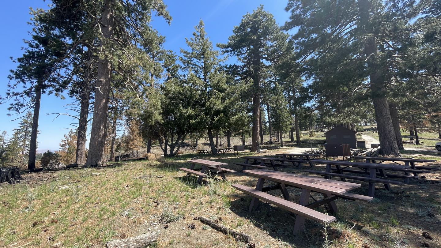
Overview Lightning Point Campground sits at an elevation of 6,100 feet, about 25 miles southeast of Palmdale and roughly 35 miles north of the San Fernando Valley. Nestled among Jeffrey pines, scrub oaks, and manzanita, the campground offers accommodations for both group visitors and equestrian campers. The nearby Pacific Crest National Scenic Trail is a favorite destination, providing access to a route that stretches from Canada to Mexico and showcases six of North America’s seven ecozones.Recreation Hiking, bird watching/wildlife viewing, horseback riding/horse camping, are the biggest attractions for campers. Angeles National Forest boasts 557 miles of hiking and equestrian trails. All trails, excluding the Pacific Crest Trail, allow mountain biking as well.Facilities This peaceful campground has 5 group campsites each accommodating different group sizes.Campsite #1: 6 Tables, Capacity 45Campsite #2: 4 Tables, Capacity 36Campsite #3: 6 Tables, Capacity 45Campsite #4: 5 Tables, Capacity 40Campsite #5: 4 Tables, Capacity 362 Horse corrals located near campsites 4 and #5. Horses are not required to reserve sites.3 double vault pit toilets located near campsites.2 lots for overflow parking at the center of the campground.Natural Features Located at 6,100 feet, the area experiences warm summer days in the low 80s and cool, refreshing nights. The Angeles National Forest showcases a wide range of vegetation, with chaparral and oak woodlands at lower elevations and pine forests at higher elevations. Overall, the landscape ranges from low canyons at around 1,200 feet to rugged mountain peaks reaching up to 10,000 feet, offering diverse scenery throughout the region. Nearby Attractions Hop in the car and drive along the Angeles Crest Highway, a scenic byway that meanders through oak thickets, chaparral, high desert landscapes and pine tree forests.
Photos
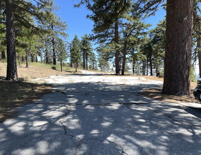
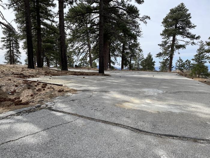
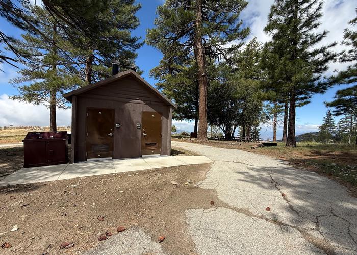
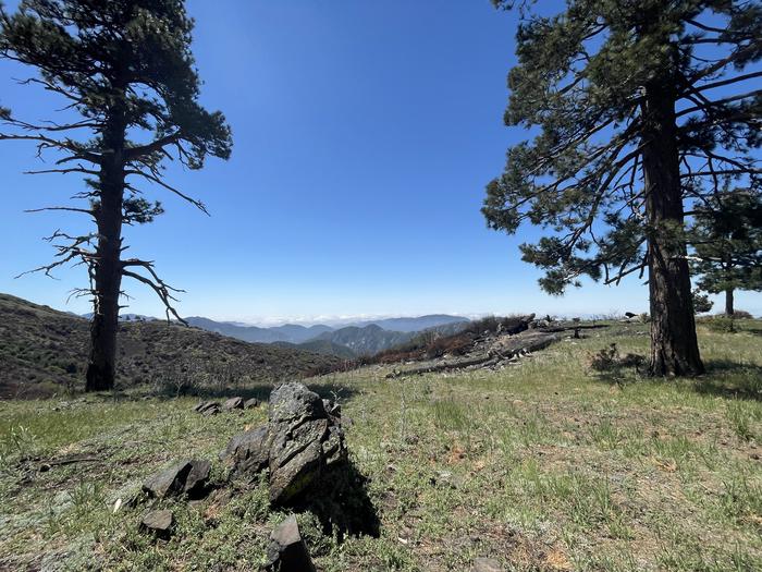
Gravel overflow parking in a shady pine tree forest. — K.RosadoGravel overflow parking in a pine tree forest. — K. RosadoBrown double vault restroom — K. Rosadoscenic overlook mountains between two pine trees — E. Campos
How to Get There
From Interstate 210 in La Canada, exit onto the Angeles Crest Highway (HWY 2) and drive northeast for approximately 10 miles to the intersection of the Angeles Crest Highway and the Angeles Forest Highway (County Road N3). Turn left (north) on to the Angeles Forest Highway and drive approximately 12 miles to the Santa Clara Divide Road at Mill Creek Summit. Turn left (west) onto the Santa Clara Divide and continue for about 11 miles to the campground.
Download your route in advance via Gaia, Caltopo, or OSM-based apps.
Recommendations adapt to the current forecast + trail stats. Use them as a starting point — local conditions, your experience, and the time of day you start all matter.
Plan Your Visit to LIGHTNING POINT GROUP CAMPGROUND
Heading to LIGHTNING POINT GROUP CAMPGROUND? A few things to know before you go:
Reservations: popular sites fill up fast — check Recreation.gov 6 months in advance
Fees: day-use and camping fees vary; check current rates on the official park page
Trash & pack-out: follow Leave No Trace principles
Wildlife: store food in bear boxes where provided; never feed wildlife
Weather: the 5-day forecast above is updated every 6 hours; verify just before you go
Frequently Asked Questions
Do I need a reservation for LIGHTNING POINT GROUP CAMPGROUND?
No central reservation system listed for LIGHTNING POINT GROUP CAMPGROUND. Check the official page (https://www.recreation.gov/camping/campgrounds/234553) for the latest entry policy and availability.
How do I get to LIGHTNING POINT GROUP CAMPGROUND?
From Interstate 210 in La Canada, exit onto the Angeles Crest Highway (HWY 2) and drive northeast for approximately 10 miles to the intersection of the Angeles Crest Highway and the Angeles Forest Highway (County Road N3). Turn left (north) on to the Angeles Forest Highway and drive approximately 12 miles to the Santa Clara Divide Road at Mill Creek Summit. Turn left (west) onto the Santa Clara Di…
How do I contact LIGHTNING POINT GROUP CAMPGROUND?