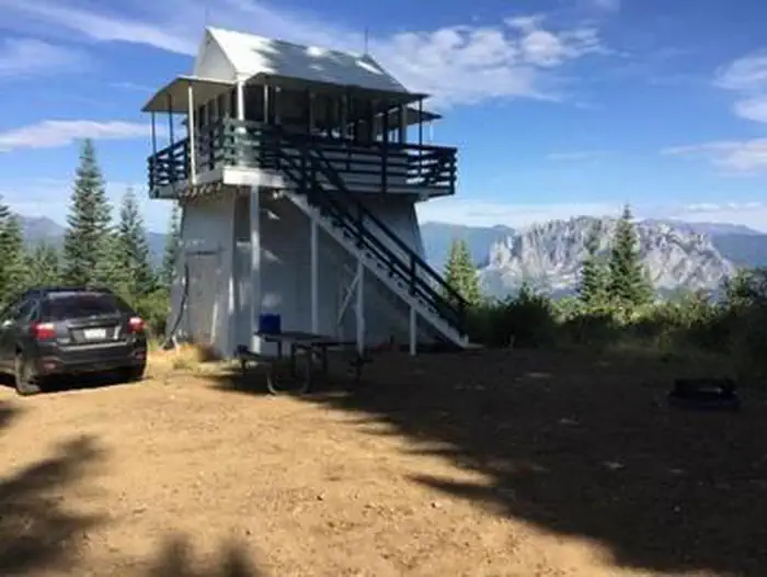
Overview Girard Ridge Lookout was constructed in 1931 and used by the Forest Service on a regular basis until 1981. It is one of the few remaining historic lookouts on the Shasta-Trinity National Forest. The structure at Girard Ridge is reportedly the oldest lookout of its particular design remaining in California. It …
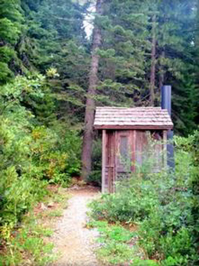
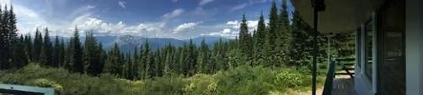
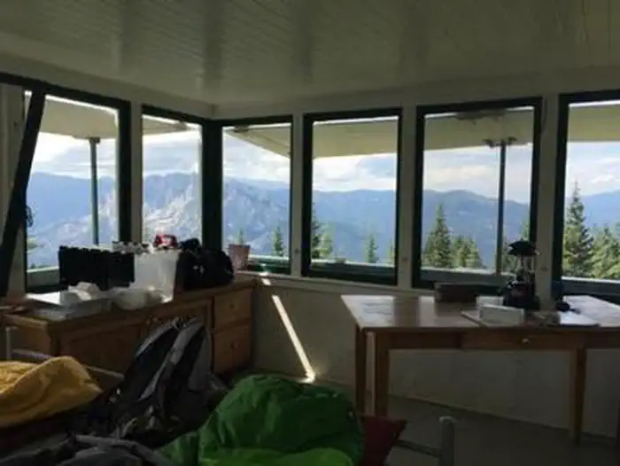
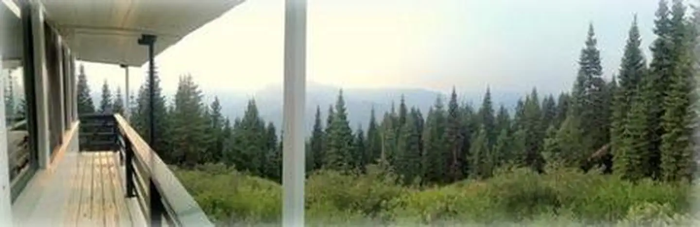
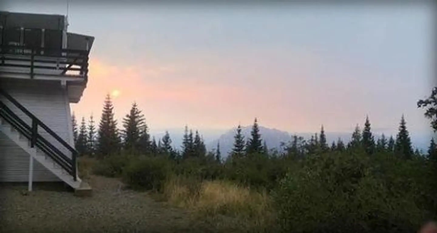
Overview Girard Ridge Lookout was constructed in 1931 and used by the Forest Service on a regular basis until 1981. It is one of the few remaining historic lookouts on the Shasta-Trinity National Forest. The structure at Girard Ridge is reportedly the oldest lookout of its particular design remaining in California. It was restored to its original character in 1997. The lookout offers primitive accommodations, but visitors are rewarded with panoramic views of the mountains during the day and bright, starry skies at night. Staying at Girard Ridge Lookout is an unforgettable experience. Recreation While the main recreation at Girard Ridge Lookout is enjoying the scenery, there are opportunities to hike, hunt, and fish. Hikers can walk north on the Forest Service road for 3 miles from the lookout to where it meets the Pacific Crest Trail.Facilities Girard Ridge Lookout stands 13 feet off the ground and is accessed via a flight of stairs. It has a standard 14x14 foot cabin with a gable roof and exterior catwalk. There is a separate building with a vault toilet that is accessed by going down the stairs and walking about 30 feet. The cabin offers two twin beds with mattresses. Cabinets are available for storage and there is a table for eating. Visitors have access to cleaning supplies, including a mop, broom, and cleansers. The lookout has no cooking facilities, no water and no electricity. Visitors are required to bring water. A heat source is needed in cooler temperatures. There are no dishes, utensils, cookware, linens or bedding at the lookout. Visitors must bring garbage bags to pack out trash. The use of portable stoves using gas, jellied petroleum or pressurized liquid fuel is allowed with a valid California campfire permit, but no wood or charcoal fires are permitted ( Click here for more information about Girard Ridge Lookout).Natural Features The lookout is located above the Sacramento River Canyon at a height of 4,809 feet. Spectacular views of Mount Shasta are
From Redding California, or Mt. Shasta, take Interstate 5 towards Castle Crags State Park. Exit the Interstate at the Soda Creek exit 726. From here, the lookout is approximately 7.5 miles over mostly dirt road. Head east towards the Sacramento River. Cross the bridge over the river and veer right until you come to a road intersection. Turn right on Riverside and follow a curvy and narrow paved road to the intersection of the Girard Ridge Road (Forest Service Road Number 38N23). Turn left, heading up hill. The road will change from pavement to dirt at the 1.9 mile mark from I-5. You will pass some microwave towers. At the top of the hill at approx 6.5 miles from the interstate look for a road intersection, this is Forest Service Road Number 39N13. It will be your first left. Turn here and travel approximately .6 mile to an unnumbered road again on your left. A sign says Girard Ridge Lookout with an arrow. Turn here and you will come to a green Forest Service gate. Open the gate and travel on this road until you reach the lookout (about 1/2 mile). Active logging will be taking place through September 30, 2023 near the Girard lookout and may cause temperary road closure and access to the lookout. Expect delays and be mindfull of logging activity in the area.
Download your route in advance via Gaia, Caltopo, or OSM-based apps.
Recommendations adapt to the current forecast + trail stats. Use them as a starting point — local conditions, your experience, and the time of day you start all matter.
Plan Your Visit to GIRARD RIDGE LOOKOUT
Heading to GIRARD RIDGE LOOKOUT? A few things to know before you go:
Reservations: popular sites fill up fast — check Recreation.gov 6 months in advance
Fees: day-use and camping fees vary; check current rates on the official park page
Trash & pack-out: follow Leave No Trace principles
Wildlife: store food in bear boxes where provided; never feed wildlife
Weather: the 5-day forecast above is updated every 6 hours; verify just before you go
Frequently Asked Questions
Do I need a reservation for GIRARD RIDGE LOOKOUT?
No central reservation system listed for GIRARD RIDGE LOOKOUT. Check the official page (https://www.recreation.gov/camping/campgrounds/234403) for the latest entry policy and availability.
How many campsites are at GIRARD RIDGE LOOKOUT?
GIRARD RIDGE LOOKOUT has 1 campsites. Site amenities (hookups, vehicle limits, ADA access) vary — see the individual campsite pages for details.
How do I get to GIRARD RIDGE LOOKOUT?
From Redding California, or Mt. Shasta, take Interstate 5 towards Castle Crags State Park. Exit the Interstate at the Soda Creek exit 726. From here, the lookout is approximately 7.5 miles over mostly dirt road. Head east towards the Sacramento River. Cross the bridge over the river and veer right until you come to a road intersection. Turn right on Riverside and follow a curvy and narrow paved ro…