Forks Of Salmon, California · Siskiyou County · Campground
Overview The Carter Meadows Horse Group Campground lies at the southern edge of the Klamath National Forest on the South Fork of the Salmon River. Designed for large groups with horses, the camp's proximity to the Trinity Alps Wilderness and the Pacific Crest Trail makes the site popular with riders and hikers. Recreat…
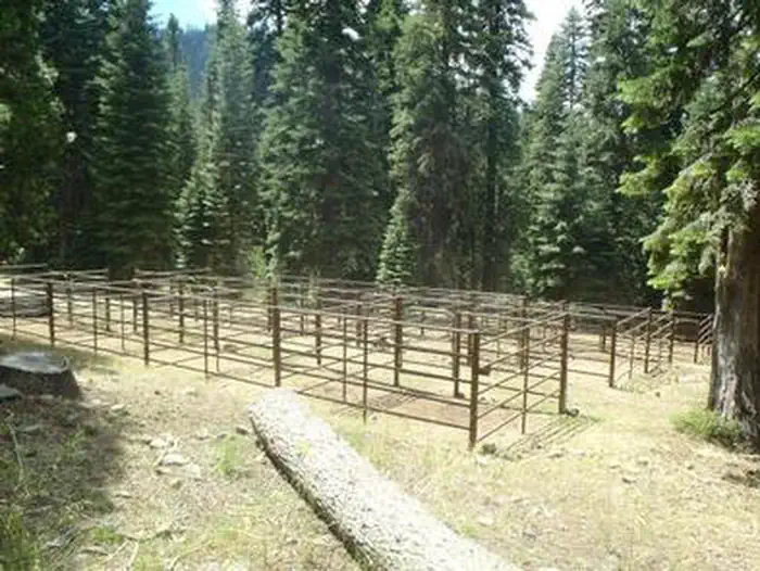
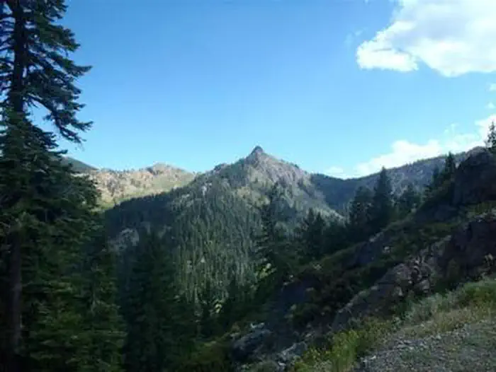
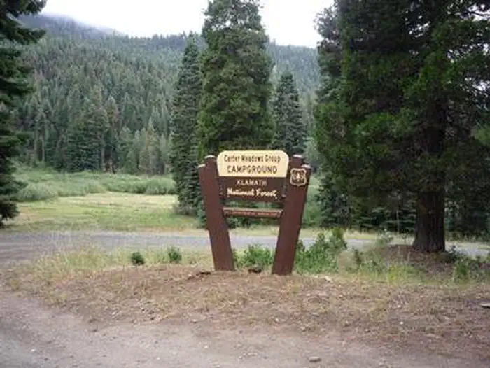
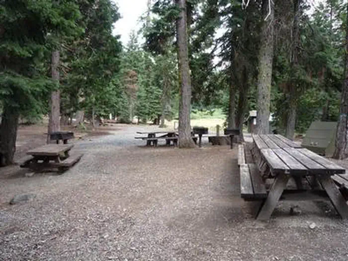
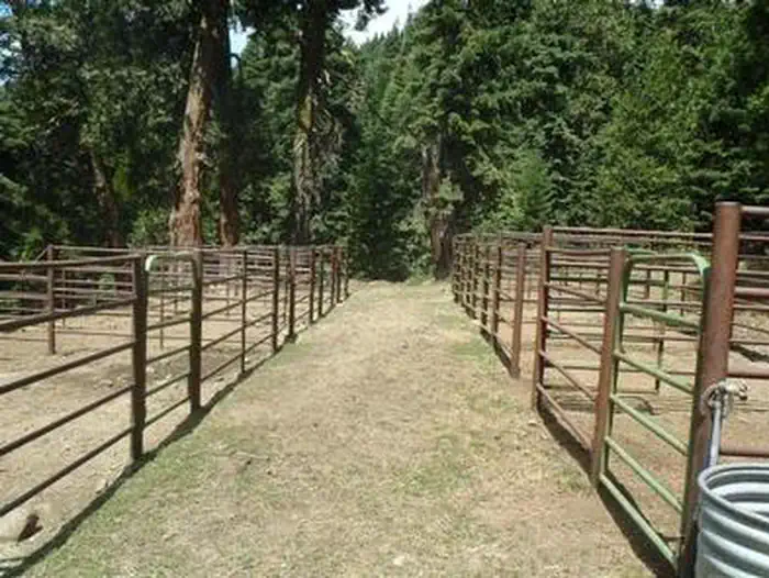
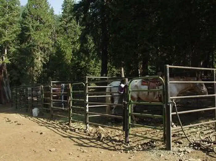
Overview The Carter Meadows Horse Group Campground lies at the southern edge of the Klamath National Forest on the South Fork of the Salmon River. Designed for large groups with horses, the camp's proximity to the Trinity Alps Wilderness and the Pacific Crest Trail makes the site popular with riders and hikers. Recreation The Carter Meadows Horse Group Site is adjacent to the Trinity Alps Wilderness and the Pacific Crest Trail. From this site, groups can ride to three trailheads that access several wilderness lakes and many miles of trails. Fishing is available in nearby streams and wilderness lakes.Facilities The Carter Meadows Horse Group Site is designed for up to 25 people and 25 horses. It includes an area for dispersed tent or trailer camping and three sections of corrals of varying sizes: seven one-horse corrals, three 2-horse corrals and three 3-4 horse corrals. The site also includes a gravel parking area, a gated entrance, a hitch rack and a mounting ramp.Natural Features The Klamath National Forest encompasses nearly 2 million acres of land straddling the California and Oregon border. The Klamath is a vast array of mountains, streams and lakes and, at elevations ranging from 450 to 8,900 feet, is home to diverse plant life and nearly 400 animal species. The partially shaded campground sits at an altitude of 5,800 feet. Nearby Attractions A short drive away, the Carter Meadows Summit is accessible for day hikes along the Pacific Crest Trail to Hidden and South Fork Lakes.
Photos
CARTER MEADOWS HORSE GROUPCARTER MEADOWS HORSE GROUPCARTER MEADOWS HORSE GROUPCARTER MEADOWS HORSE GROUPCARTER MEADOWS HORSE GROUP
How to Get There
From Interstate 5 near Yreka, California, take the south Yreka exit onto Highway 3 south and continue for 23 miles. Turn right on Highway 93 toward Cecilville and continue 12 miles to Carter Meadows Summit. Approximately 1/2 mile beyond the summit, turn left on Road 39N08. The Group Site is another 1/4 mile on the right.
Download your route in advance via Gaia, Caltopo, or OSM-based apps.
Recommendations adapt to the current forecast + trail stats. Use them as a starting point — local conditions, your experience, and the time of day you start all matter.
Plan Your Visit to CARTER MEADOWS HORSE GROUP
Heading to CARTER MEADOWS HORSE GROUP? A few things to know before you go:
Reservations: popular sites fill up fast — check Recreation.gov 6 months in advance
Fees: day-use and camping fees vary; check current rates on the official park page
Trash & pack-out: follow Leave No Trace principles
Wildlife: store food in bear boxes where provided; never feed wildlife
Weather: the 5-day forecast above is updated every 6 hours; verify just before you go
Frequently Asked Questions
Do I need a reservation for CARTER MEADOWS HORSE GROUP?
No central reservation system listed for CARTER MEADOWS HORSE GROUP. Check the official page (https://www.recreation.gov/camping/campgrounds/234344) for the latest entry policy and availability.
How many campsites are at CARTER MEADOWS HORSE GROUP?
CARTER MEADOWS HORSE GROUP has 1 campsites. Site amenities (hookups, vehicle limits, ADA access) vary — see the individual campsite pages for details.
How do I get to CARTER MEADOWS HORSE GROUP?
From Interstate 5 near Yreka, California, take the south Yreka exit onto Highway 3 south and continue for 23 miles. Turn right on Highway 93 toward Cecilville and continue 12 miles to Carter Meadows Summit. Approximately 1/2 mile beyond the summit, turn left on Road 39N08. The Group Site is another 1/4 mile on the right.