Kyburz, California · El Dorado County · Campground
Overview South Fork is the largest group campground in the Crystal Basin Recreation Area, nestled in the vast expanse of the Eldorado National Forest. The remote location affords visitors a true outdoor camping experience.Recreation With the South Fork of the Rubicon River located within walking distance, the group cam…
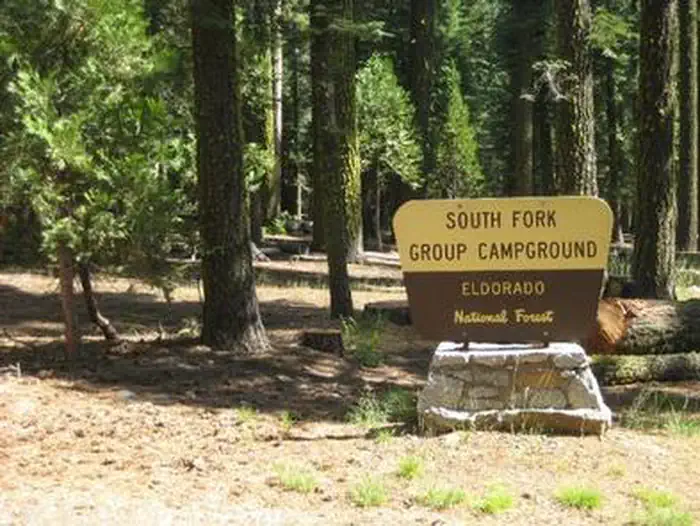
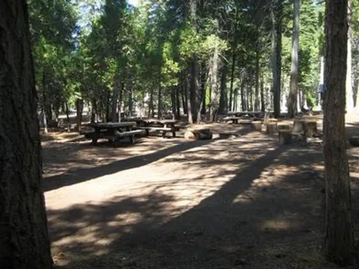
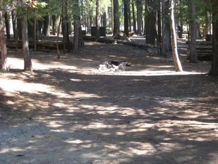
Overview South Fork is the largest group campground in the Crystal Basin Recreation Area, nestled in the vast expanse of the Eldorado National Forest. The remote location affords visitors a true outdoor camping experience.Recreation With the South Fork of the Rubicon River located within walking distance, the group camp provides excellent fishing, swimming and other water sports and activities. Facilities While the campground can be used as a single group site that can accommodate up to 125 guests, it can also be reserved as multiple single-family sites. A group cooking area with food preparation tables and double grills is available, as well as campfire rings with grills at each site. Vault toilets are provided, however, drinking water is not available at the campground. Visitors can boil stream water or fill up at nearby boat ramps. A parking area is also available.Natural Features Situated at an elevation of 5,200 feet, the campground sits between the Union Valley Reservoir and Loon Lake. It is also just minutes away from Gerle Creek Reservoir, a serene mountain lake where motorized boating is prohibited in order to preserve a peaceful and quiet atmosphere for visitors. Nearby Attractions Swimming and non-motorized boating are available at Gerle Creek Reservoir, 5 miles north of the campground.
Photos
SOUTH FORK GROUP (CA)SOUTH FORK GROUP (CA)
How to Get There
Travel 21 miles east from Placerville on Highway 50 and turn left on the Ice House Road. Go 25 miles north and turn left on South Fork Road. The campground is a mile from the turn-off, on the right side of the road.
Download your route in advance via Gaia, Caltopo, or OSM-based apps.
Recommendations adapt to the current forecast + trail stats. Use them as a starting point — local conditions, your experience, and the time of day you start all matter.
Plan Your Visit to South Fork Group - Eldorado NF (CA)
Heading to South Fork Group - Eldorado NF (CA)? A few things to know before you go:
Reservations: popular sites fill up fast — check Recreation.gov 6 months in advance
Fees: day-use and camping fees vary; check current rates on the official park page
Trash & pack-out: follow Leave No Trace principles
Wildlife: store food in bear boxes where provided; never feed wildlife
Weather: the 5-day forecast above is updated every 6 hours; verify just before you go
Frequently Asked Questions
Do I need a reservation for South Fork Group - Eldorado NF (CA)?
No central reservation system listed for South Fork Group - Eldorado NF (CA). Check the official page (https://www.recreation.gov/camping/campgrounds/233879) for the latest entry policy and availability.
How many campsites are at South Fork Group - Eldorado NF (CA)?
South Fork Group - Eldorado NF (CA) has 1 campsites. Site amenities (hookups, vehicle limits, ADA access) vary — see the individual campsite pages for details.
How do I get to South Fork Group - Eldorado NF (CA)?
Travel 21 miles east from Placerville on Highway 50 and turn left on the Ice House Road. Go 25 miles north and turn left on South Fork Road. The campground is a mile from the turn-off, on the right side of the road.
How do I contact South Fork Group - Eldorado NF (CA)?