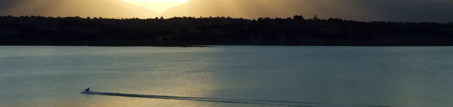
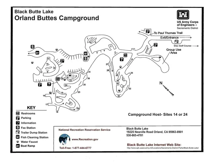
Overview Orland Buttes Recreation Area is at Black Butte Lake, situated at the northern end of the Sacramento valley, 100 miles north of Sacramento, CA and 30 miles south of Red Bluff, CA. The lake is a popular meeting place for water sports and outdoor euthusiasts, so bring family and friends for an incredibly scenic …
Overview Orland Buttes Recreation Area is at Black Butte Lake, situated at the northern end of the Sacramento valley, 100 miles north of Sacramento, CA and 30 miles south of Red Bluff, CA. The lake is a popular meeting place for water sports and outdoor euthusiasts, so bring family and friends for an incredibly scenic getaway.Recreation Find excitement with wake boarding and sailing or explore the Paul Thomas trail for hiking. Black Butte is renowed fro its warm-water fishing, including catches such as crappie, channel catfinsh, and large and small mouth bass. Disc golf is also a popular activity here.Facilities The family-friendly campground offers 35 campsites and a group campground that fits 50. Conveniences include showers, a boat ramp complex, and a 18-hole disc golf course. No electric hookups or water hookups are available. The area is open seasonaly from 1 April through the second Monday in September.Natural Features Black Butte Lake was formed in 1963 with the completion of Black Butte Lake Dam on Stony Creek. The lake's surface area measures 4460 acres when water levels are high. Black basalt buttes and blue oak woodland hug the lake's 40 miles of shoreline. Nearby Attractions Horeseback riders can make use of the horse trails at Grizzly Flat and Burris Creek. Buckhorn Recreation Area has 13 miles of fitness trails for hiking, running, and biking.
Photos
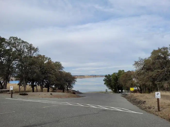
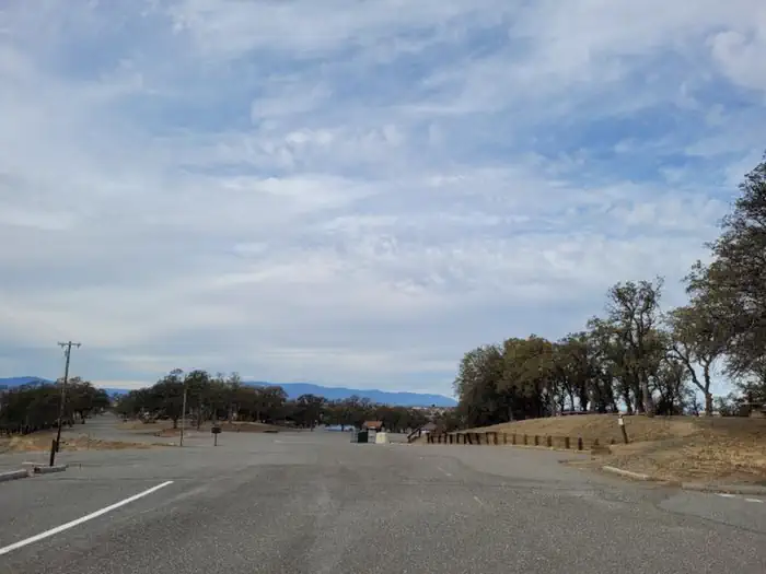
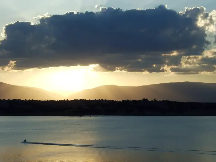
ORLAND BUTTES BOAT LAUNCH — Black Butte LakeORLAND BUTTES — Black Butte LakeOrland Buttes Recreation Area — Black Butte LakeMap of Orland Buttes — Black Butte Lake
How to Get There
From Interstate 5, take the Black Butte Lake exit at Orland, CA. Travel west on County Road 200/Newville Road for 6 miles. Turn left on County Road 206 and drive 4 miles to the campground.
Download your route in advance via Gaia, Caltopo, or OSM-based apps.
Recommendations adapt to the current forecast + trail stats. Use them as a starting point — local conditions, your experience, and the time of day you start all matter.
Plan Your Visit to ORLAND BUTTES
Heading to ORLAND BUTTES? A few things to know before you go:
Reservations: popular sites fill up fast — check Recreation.gov 6 months in advance
Fees: day-use and camping fees vary; check current rates on the official park page
Trash & pack-out: follow Leave No Trace principles
Wildlife: store food in bear boxes where provided; never feed wildlife
Weather: the 5-day forecast above is updated every 6 hours; verify just before you go
Frequently Asked Questions
Do I need a reservation for ORLAND BUTTES?
No central reservation system listed for ORLAND BUTTES. Check the official page (https://www.recreation.gov/camping/campgrounds/233568) for the latest entry policy and availability.
How do I get to ORLAND BUTTES?
From Interstate 5, take the Black Butte Lake exit at Orland, CA. Travel west on County Road 200/Newville Road for 6 miles. Turn left on County Road 206 and drive 4 miles to the campground.