Redwood Valley, California · Mendocino County · Campground
Overview Bushay Recreation Area is situated on Lake Mendocino in California's Mendocino Range, where redwood forests meet wine country. The access road to Bushay Campground is subject to high water levels. For this reason the campground is often closed during the rainy months. If high water levels continue into the lat…
Overview Bushay Recreation Area is situated on Lake Mendocino in California's Mendocino Range, where redwood forests meet wine country. The access road to Bushay Campground is subject to high water levels. For this reason the campground is often closed during the rainy months. If high water levels continue into the late spring and early summer months, reservations may be cancelled by Lake Mendocino staff with a full refund. Every effort will be made to provide advance notice in the event of cancellations.The lake is formed by the Coyote Dam on the Russian River. A wide variety of recreational opportunities is available, including boating, swimming, water skiing, fishing, hiking and horseback riding. Recreation The 1,822-acre lake provides abundant boating, swimming and water skiing opportunities. Anglers will find sunfish, smallmouth bass, striped bass, crappie, white and channel catfish, bluegill and perch. Several miles of trails wind around Lake Mendocino, including the 7-mile Kaweyo Trail, which is open to hiking and horseback riding. This trail winds from the lake to the dam, providing excellent views of the lake and wildlife in the area.Facilities This campground offers more than 100 family sites, many of which overlook the lake. Group sites may also be available. The Mesa Day-Use Area is within the campground and offers a group picnic shelter. Family picnic sites are also located here, complete with tables and grills. Amenities include flush and vault toilets, showers, drinking water, a dump station and playground. Natural Features Lake Mendocino lies in the scenic rolling hills of Coyote Valley. Groves of oak mixed with manzanita and pines forest the area, offering limited shade and an excellent bird and wildlife habitat. Nearby Attractions The charming city of Ukiah, less than 15 minutes away, offers a variety of shopping and dining opportunities, museums and golf courses. The Ukiah Farmer's Market runs Saturday mornings and Tuesday evenings throughout the
Photos
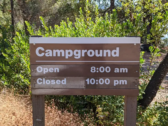
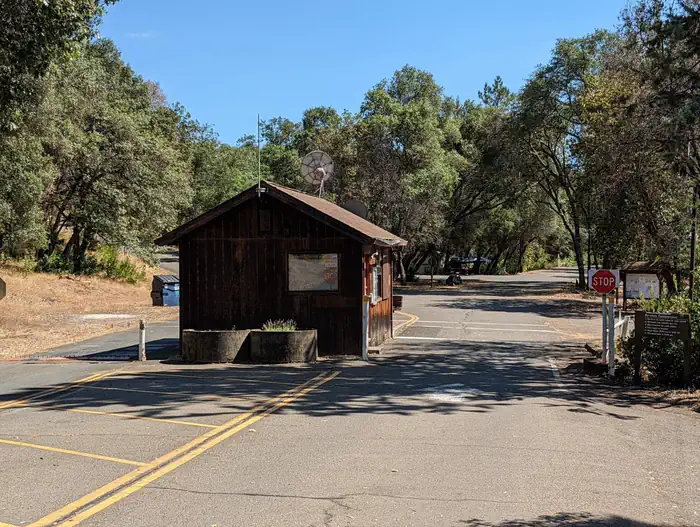
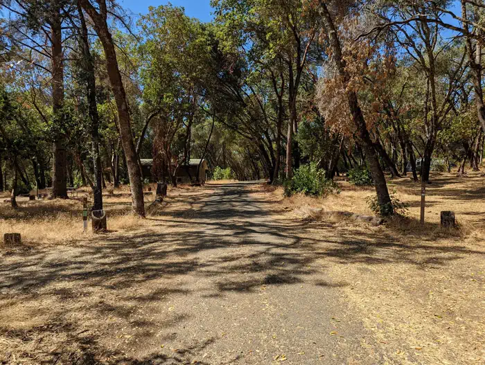
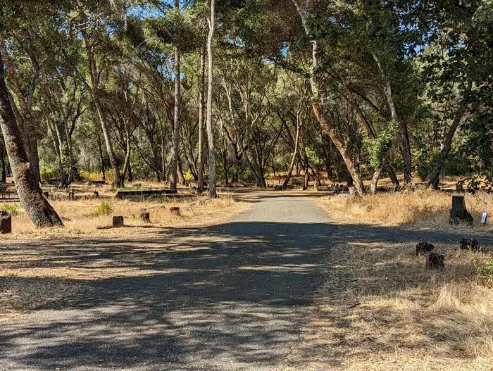
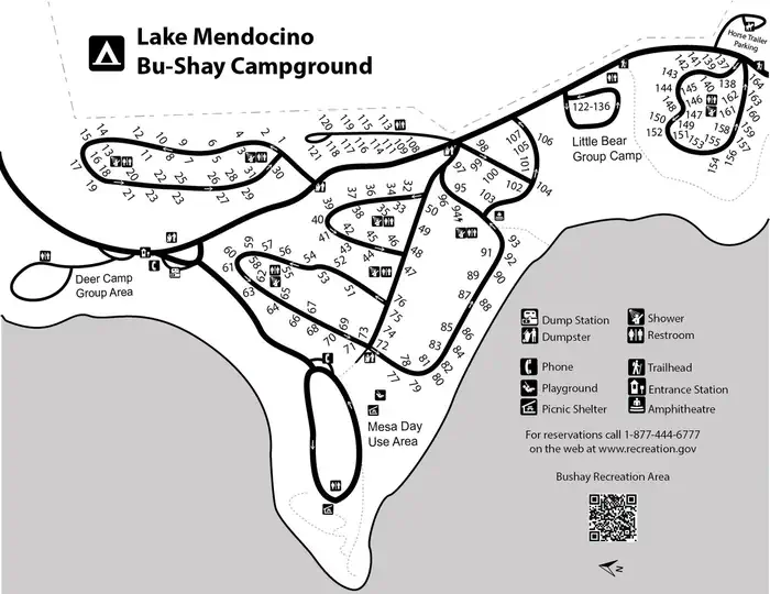
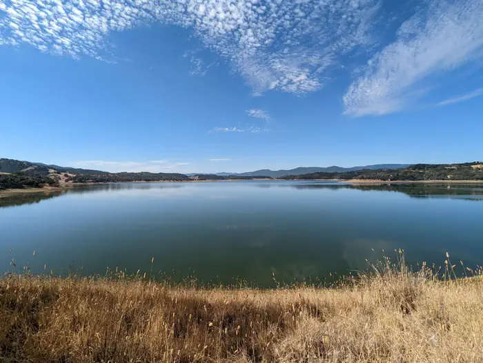
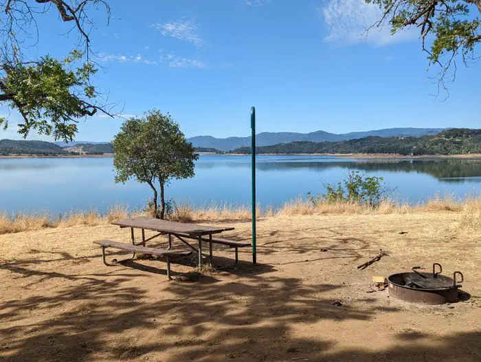
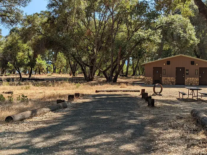
Campground Hours. Open 8:00 AM. Closed 10:00 PM. — USACEBushay Campground Entrance Station — USACERoad to Bushay flooded — USACEBushay Campground 30s loop — USACEBushay Campground 50s loop — USACEMap of Bushay Recreation area — USACEView of Lake Mendocino from Bushay Campground — USACELakefront site at Bushay Campground — USACEBushay Campground and restrooms — USACE
How to Get There
From the South (San Francisco, Santa Rosa, Ukiah): Follow Highway 101 North towards Ukiah. Approximately 5 miles north of Ukiah, take Highway 20 East. Continue on Highway 20 East for approximately 3 miles. Just after you see Lake Mendocino on your right, you will cross a tall bridge. Take the first left after the bridge. Follow the road under the bridge and along the river until you reach the Host Booth at the top of the hill. From the North (Eureka, Willits, Fort Bragg): Follow Highway 101 South. Approximately 15 miles south of Willits, take Highway 20 East. Continue on Highway 20 East for approximately 3 miles. Just after you see Lake Mendocino on your right, you will cross a tall bridge. Take the first left after the bridge. Follow the road under the bridge and along the river until you reach the Host Booth at the top of the hill. From the East (Sacramento): From the city of Williams, take Highway 20 West. Continue on Highway 20 for approximately 2 hours or 80 miles traveling past Clearlake and Blue Lakes. Approximately 2 miles after the Potter Valley turn-off you will see a sign for Lake Mendocino Recreation Area. Take the first right after the sign. Follow the road under the bridge and along the river until you reach the Host Booth at the top of the hill.
Download your route in advance via Gaia, Caltopo, or OSM-based apps.
Recommendations adapt to the current forecast + trail stats. Use them as a starting point — local conditions, your experience, and the time of day you start all matter.
Plan Your Visit to BUSHAY RECREATION AREA
Heading to BUSHAY RECREATION AREA? A few things to know before you go:
Reservations: popular sites fill up fast — check Recreation.gov 6 months in advance
Fees: day-use and camping fees vary; check current rates on the official park page
Trash & pack-out: follow Leave No Trace principles
Wildlife: store food in bear boxes where provided; never feed wildlife
Weather: the 5-day forecast above is updated every 6 hours; verify just before you go
Frequently Asked Questions
Do I need a reservation for BUSHAY RECREATION AREA?
No central reservation system listed for BUSHAY RECREATION AREA. Check the official page (https://www.recreation.gov/camping/campgrounds/233437) for the latest entry policy and availability.
How many campsites are at BUSHAY RECREATION AREA?
BUSHAY RECREATION AREA has 167 campsites. Site amenities (hookups, vehicle limits, ADA access) vary — see the individual campsite pages for details.
How do I get to BUSHAY RECREATION AREA?
From the South (San Francisco, Santa Rosa, Ukiah): Follow Highway 101 North towards Ukiah. Approximately 5 miles north of Ukiah, take Highway 20 East. Continue on Highway 20 East for approximately 3 miles. Just after you see Lake Mendocino on your right, you will cross a tall bridge. Take the first left after the bridge. Follow the road under the bridge and along the river until you reach the Host…