Overview Point Reyes National Seashore offers four backcountry hike in campgrounds and thirteen boat in campsites along Tomales Bay. Note: For reservation purposes, our campgrounds are organized under the "loop" column of the reservation grid.For more information, visit the Back Country Camping page on the Point Reyes …
Overview Point Reyes National Seashore offers four backcountry hike in campgrounds and thirteen boat in campsites along Tomales Bay. Note: For reservation purposes, our campgrounds are organized under the "loop" column of the reservation grid.For more information, visit the Back Country Camping page on the Point Reyes National Seashore website. Recreation Wildlife viewing Hiking Birding Backpacking Kayaking Mushroom hunting Bike riding Facilities BOOKING WINDOWS 3 month and 14-day windows. Sites release at 7AM Pacific Standard Time. COAST CAMP 3 months = sites # 1, 4, 6, 8AB 10, 12, 13AB, 14. 14 days = sites # 2, 3, 5, 7, 9, 11. GLEN CAMP 3 months = sites # 1, 2, 3, 5, 8, 11. 14 days = sites # 4, 6, 7 9, 10, 12. SKY CAMP 3 months = site # 2AB, 3, 6, 8, 9, 11. 14 days = site # 1, 4, 5, 7, 10, 12. WILDCAT CAMP 3 months = sites # 1AB, 2AB, 3AB, 5, 7. 14 days = sites # 4, 6, 8. TOMALES BAY BOAT-IN PERMITS: All Boat in permits including Marshall Beach and Tomales Beach group permits are available at 3 months prior to arrival date. More facility information: Camping facilities at Point Reyes National Seahsore include four hike-in/bike-in-only campgrounds in the southern area of the park and twenty boat-in-only campsites on Tomales Bay. Camping is allowed only in designated campgrounds and sites. Dispersed camping is not allowed. There is NO car or RV camping at Point Reyes National SeashoreAmenities at the hike-in/bike-in sites include picnic tables, and food storage lockers with centrally located vault toilets and drinking water. No pets permitted. COAST CAMP - Coast Camp is nestled within a small coastal grassy valley with easy access to the beach and tide pools. The beach is within 200 meters (200 yards) of the campground. The shortest approach to Coast Camp is via the 3 km (2 miles) slightly uphill hike on the Laguna and Firelane Trails starting at the Laguna Trailhead just past the hostel. An alternate route following the Coast Trail starting near the hostel offers a
Photos
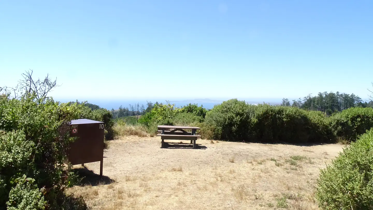
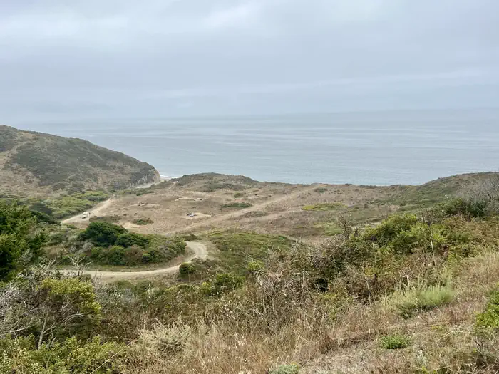
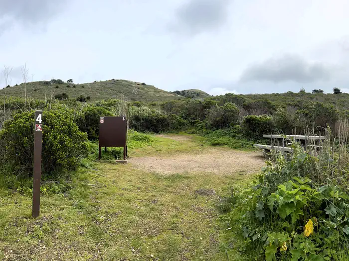
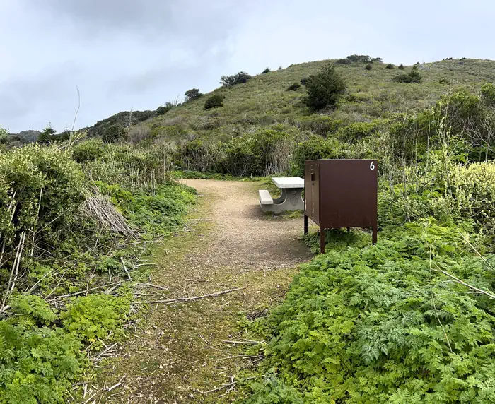
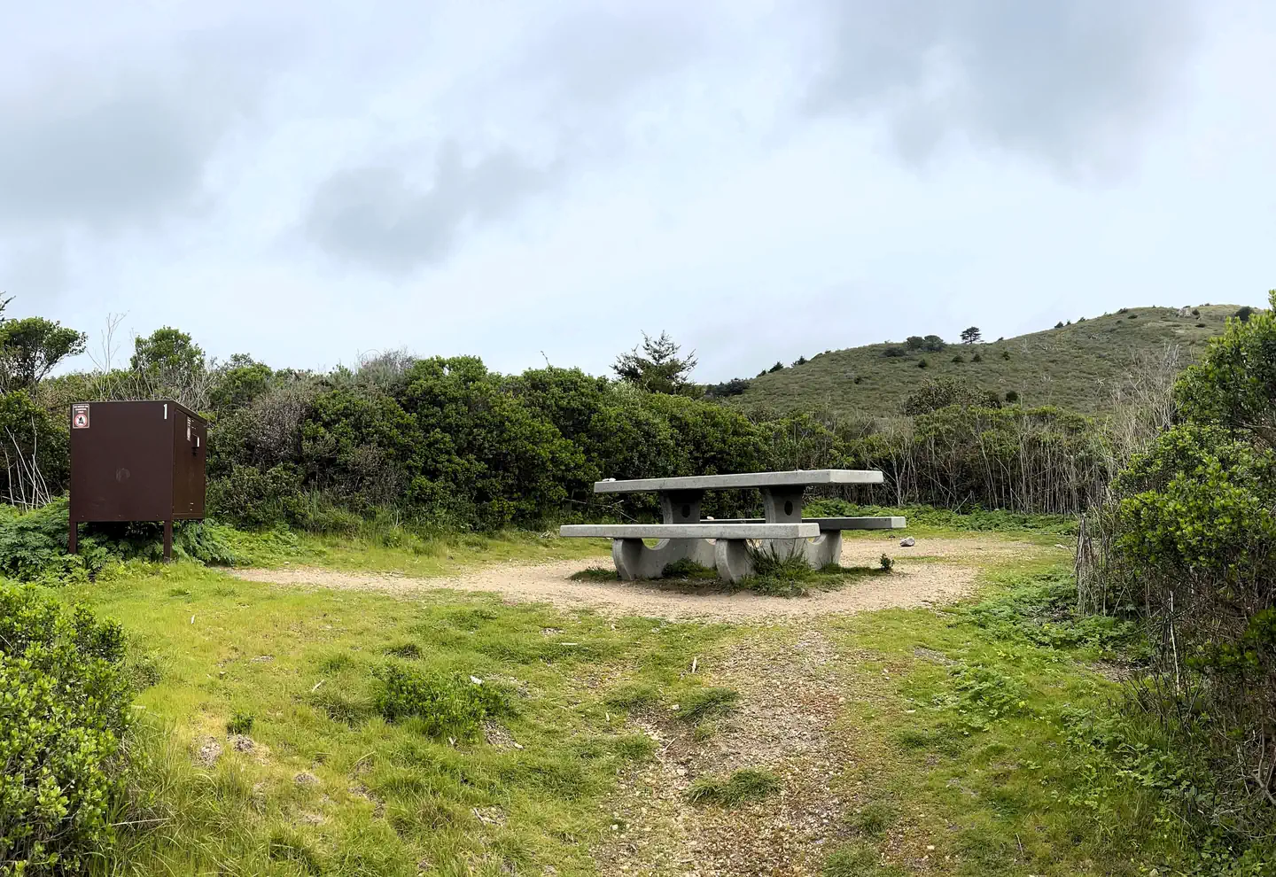
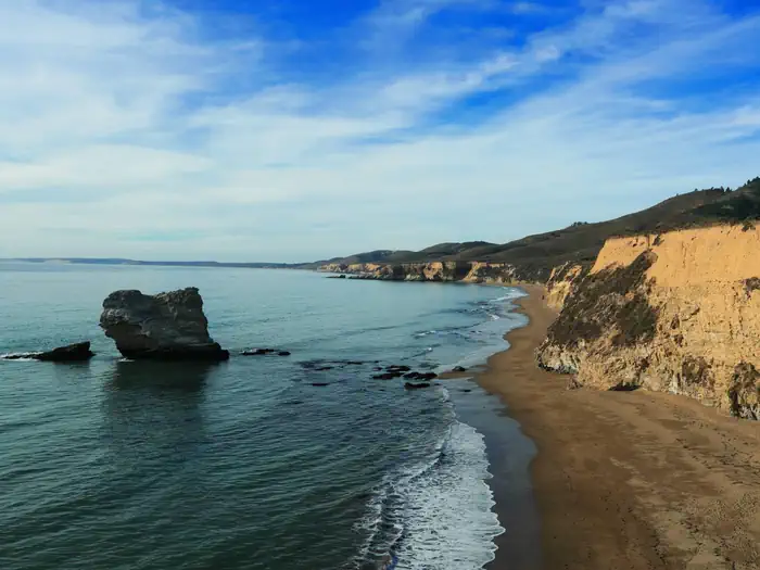
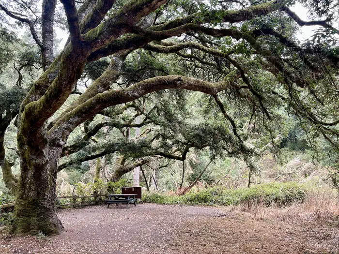
Wildcat Campground — Courtney Barend/NPSCampsite with picnic table and bear box surrounded in trees. — C.Barend/NPSCoast campsite 6 with bear proof food locker and picnic table. — C.Barend/NPSCoast campsite 1 with bear box and picnic table. — C.Barend/NPSPoint Reyes National Seashore — Share the Experience, Jonathan TangLarge oak tree bending over site 2 at Sky Camp in Point Reyes. — Courtney Barend/NPS
How to Get There
Point Reyes is located approximately 50 miles north of San Francisco and can be approached either northbound or southbound via Highway 101 and Exit 450A/B Sir Francis Drake Highway. Visitors can also reach the park via the longer and winding scenic Highway 1 or the Point Reyes-Petaluma Road. Public transportation to the Bear Valley Visitor Center from San Rafael along Sir Francis Drake Boulevard is available through the West Marin Stagecoach . Directions http://www.nps.gov/pore/planyourvisit/directions.htm for the quickest routes to Point Reyes National Seashore's Bear Valley Visitor Center. Bear Valley Visitor Center GPS: Latitude: North 38 degrees, 2 minutes and 27 seconds. Longitude: West 122 degrees, 48 Minutes and 1 second.
Download your route in advance via Gaia, Caltopo, or OSM-based apps.
Recommendations adapt to the current forecast + trail stats. Use them as a starting point — local conditions, your experience, and the time of day you start all matter.
Plan Your Visit to Point Reyes National Seashore Campground
Heading to Point Reyes National Seashore Campground? A few things to know before you go:
Reservations: popular sites fill up fast — check Recreation.gov 6 months in advance
Fees: day-use and camping fees vary; check current rates on the official park page
Trash & pack-out: follow Leave No Trace principles
Wildlife: store food in bear boxes where provided; never feed wildlife
Weather: the 5-day forecast above is updated every 6 hours; verify just before you go
Frequently Asked Questions
Do I need a reservation for Point Reyes National Seashore Campground?
No central reservation system listed for Point Reyes National Seashore Campground. Check the official page (https://www.recreation.gov/camping/campgrounds/233359) for the latest entry policy and availability.
How do I get to Point Reyes National Seashore Campground?
Point Reyes is located approximately 50 miles north of San Francisco and can be approached either northbound or southbound via Highway 101 and Exit 450A/B Sir Francis Drake Highway. Visitors can also reach the park via the longer and winding scenic Highway 1 or the Point Reyes-Petaluma Road. Public transportation to the Bear Valley Visitor Center from San Rafael along Sir Francis Drake Boulevard i…
How do I contact Point Reyes National Seashore Campground?
You can reach the park at phone: 415-464-5100 X2 X5 or email: [email protected].