Stonyford, California · Colusa County · Campground
Overview Perched 1,700 feet above sea level in the expanse of the Mendocino National Forest, the Gray Pine Group Camp is a beautiful recreation oasis for large groups and parties.Recreation Mendocino National Forest's 913,306 acres of mountains and canyons offer a variety of recreational opportunities, including horseb…
Overview Perched 1,700 feet above sea level in the expanse of the Mendocino National Forest, the Gray Pine Group Camp is a beautiful recreation oasis for large groups and parties.Recreation Mendocino National Forest's 913,306 acres of mountains and canyons offer a variety of recreational opportunities, including horseback riding, hiking, backpacking, boating, fishing and hunting, nature study and off-highway vehicle riding. Whether it's deer, birds, rabbits, chipmunks or perhaps the occasional bear, wildlife viewing is always a popular activity for visitors. The area is also an extremely popular destination during hunting season. Facilities Gray Pine Group Camp offers traditional camping and can hold up to 75 guests.Natural Features The Mendocino National Forest, California's only national forest that is not crossed by a paved road, straddles the eastern spur of the Coastal Mountain Range in northwestern California, just a three-hour drive north of San Francisco and Sacramento. Sprinkled throughout the dense green forest are several lakes, offering visitors additional recreational opportunities against a stunning backdrop. Nearby Attractions Popular OHV riding trails are easily accessible from the campground. Visit www.fs.usda.gov/mendocino for more information.
Photos
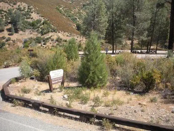
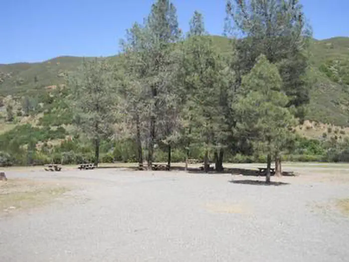
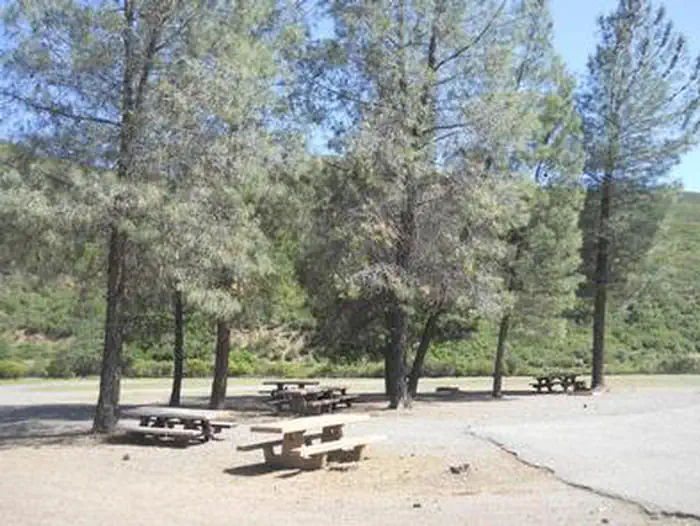
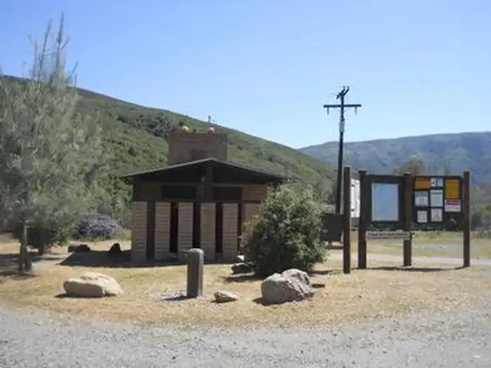
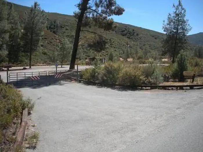
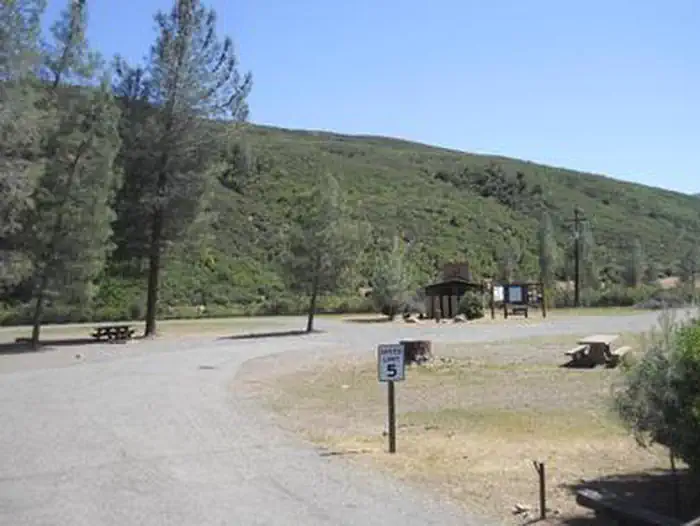
GRAY PINE GROUP CAMPGROUNDGRAY PINE GROUP CAMPGROUNDGRAY PINE GROUP CAMPGROUNDGRAY PINE GROUP CAMPGROUNDGRAY PINE GROUP CAMPGROUND
How to Get There
From the South: From Interstate 5 take Exit 586 for Maxwell Road. Travel west for approximately nine miles to the town of Sites. At the junction turn right turn onto Sites-Ladoga Road and travel for about 15 miles to the town of Lodoga. Turn right at the junction, cross the bridge onto Ladoga-Stonyford Road and travel for approximately eight miles to the town of Stonyford. Turn left at the stop sign, drive two blocks north to Fouts Springs Road and turn left. Travel on Fouts Springs Road/Forest Road M10 for nine miles. Turn right onto Forest Road 18N03 towards Davis Flat and drive approximately 1/2 mile. Turn right at the locked gate; this is the entrance to Gray Pine. From the North: From Interstate 5 take 162 West from Willows and travel 23 miles. At the junction turn left onto County Road 306/Stonyford-Elk Creek Road and travel about 18 miles to the town of Stonyford. Turn right onto Fouts Springs Road/Forest Road M10. After about nine miles turn right onto Forest Road 18N03 towards Davis Flat and drive approximately 1/2 mile. Turn right at the locked gate; this is the entrance to Gray Pine.
Download your route in advance via Gaia, Caltopo, or OSM-based apps.
Recommendations adapt to the current forecast + trail stats. Use them as a starting point — local conditions, your experience, and the time of day you start all matter.
Plan Your Visit to GRAY PINE GROUP CAMPGROUND
Heading to GRAY PINE GROUP CAMPGROUND? A few things to know before you go:
Reservations: popular sites fill up fast — check Recreation.gov 6 months in advance
Fees: day-use and camping fees vary; check current rates on the official park page
Trash & pack-out: follow Leave No Trace principles
Wildlife: store food in bear boxes where provided; never feed wildlife
Weather: the 5-day forecast above is updated every 6 hours; verify just before you go
Frequently Asked Questions
Do I need a reservation for GRAY PINE GROUP CAMPGROUND?
No central reservation system listed for GRAY PINE GROUP CAMPGROUND. Check the official page (https://www.recreation.gov/camping/campgrounds/233162) for the latest entry policy and availability.
How do I get to GRAY PINE GROUP CAMPGROUND?
From the South: From Interstate 5 take Exit 586 for Maxwell Road. Travel west for approximately nine miles to the town of Sites. At the junction turn right turn onto Sites-Ladoga Road and travel for about 15 miles to the town of Lodoga. Turn right at the junction, cross the bridge onto Ladoga-Stonyford Road and travel for approximately eight miles to the town of Stonyford. Turn left at the stop si…
How do I contact GRAY PINE GROUP CAMPGROUND?
You can reach the park at phone: 530-963-3128 or email: [email protected].