Redwood Valley, California · Mendocino County · Campground
Overview Pomo Day-Use Area is situated on Lake Mendocino in California's Mendocino Range, where the redwood forests meet California wine country. The lake is formed by the Coyote Dam on the Russian River. A wide variety of recreational opportunities are available, including boating, swimming, water skiing, fishing, hik…
Overview Pomo Day-Use Area is situated on Lake Mendocino in California's Mendocino Range, where the redwood forests meet California wine country. The lake is formed by the Coyote Dam on the Russian River. A wide variety of recreational opportunities are available, including boating, swimming, water skiing, fishing, hiking and horseback riding.Recreation The 1,822-acre lake provides abundant boating, swimming and water skiing opportunities. There is a designated swim beach in the Pomo Recreation Area. Anglers will find sunfish, smallmouth bass, striped bass, crappie, white and channel catfish, bluegill and perch. Several miles of trails wind around Lake Mendocino, including the 3-mile Shakota Trail that begins near the Pomo Cultural Center and offers beautiful views of the lake. Lake Mendocino also offers two disc golf courses that can be found near the Overlook Day-Use Area on the south end and the Pomo A Day-Use Area parking lot on the north end. The rolling terrain is heavily wooded in some areas, making for challenging tunnel shots with obstacles around most pins. Facilities Pomo Recreation Area is located near Kyen Campground and offers many amenities for day-users. There are multiple family picnic sites with tables and grills spread throughout each of the Pomo A, B, and C day-use areas. There is a designated swim beach, a playground, a nearby disc golf course, flush toilets, and the Shakota Trail trailhead. There are also multiple group picnic shelters, three of which are available for reservation during the summer season.The Pomo Cultural Center in the area is modeled after a traditional Pomo roundhouse and has offered displays on Pomo hunting, dancing and basketry, as well as local fish, wildlife and plants in the past. Unfortunately, the center is closed to the public indefinitely. Natural Features Lake Mendocino lies in the scenic rolling hills of Coyote Valley. Groves of oak mixed with manzanita and pines forest the area, offering limited shade but excelle
Photos
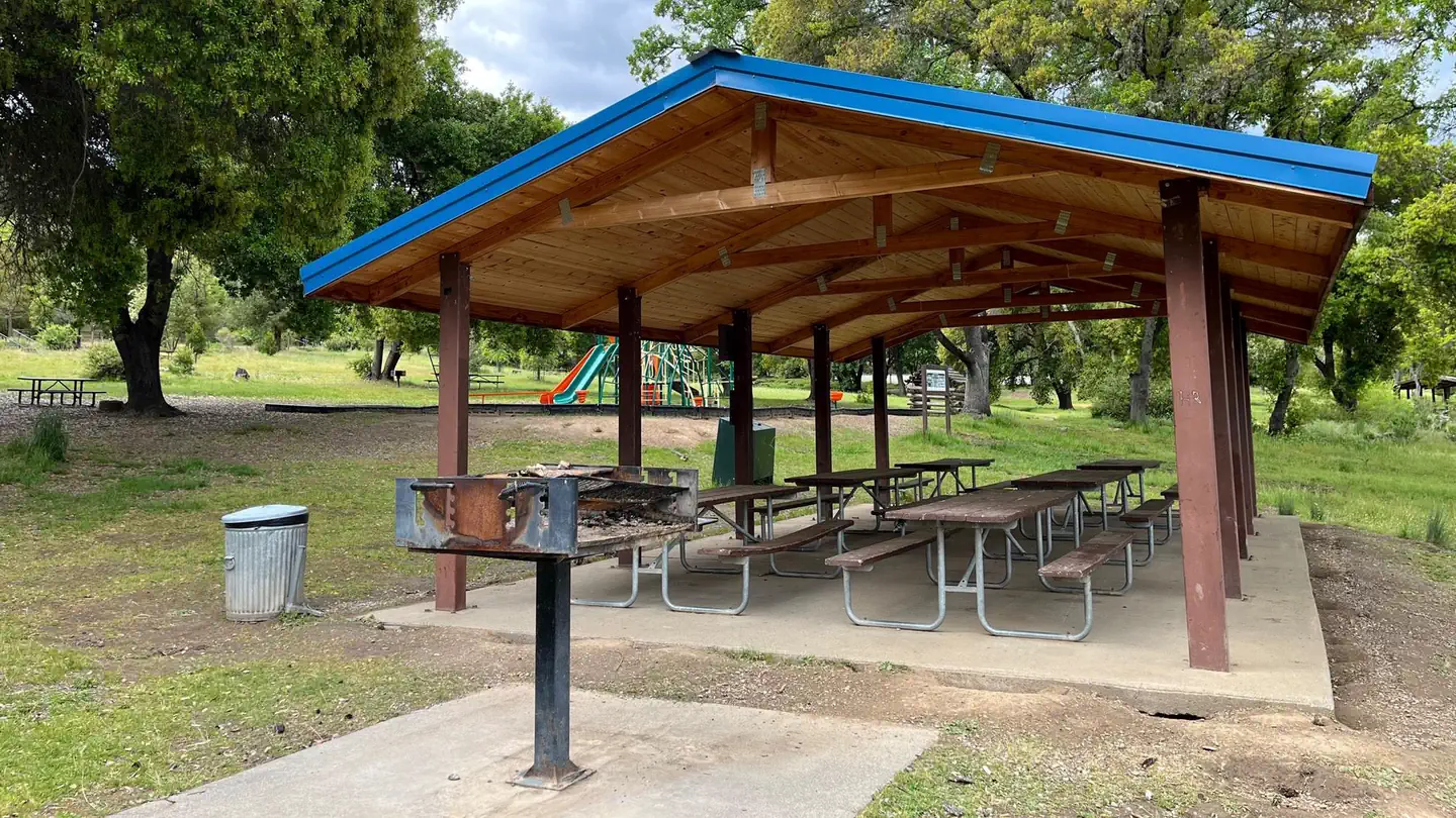
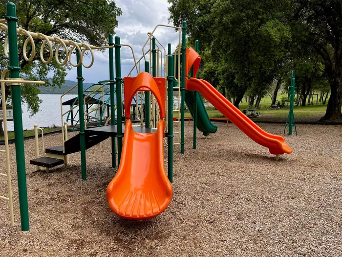
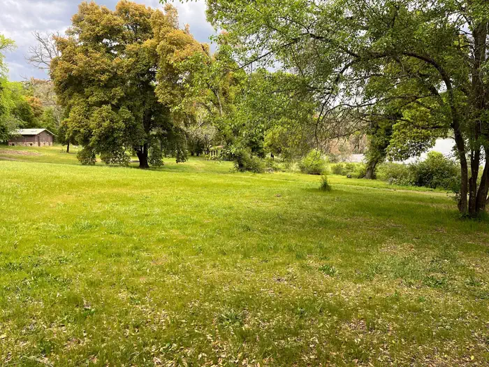
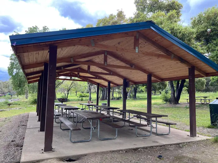
Playground with monkey bars, climbing structures, and 3 slides — USACEPomo A Day-Use Area grass picnic area — USACEPomo-A Shelter — USACE
How to Get There
From the South (San Francisco, Santa Rosa, Ukiah): Follow Highway 101 North towards Ukiah. Approximately 5 miles north of Ukiah, take Highway 20 East. Continue on Highway 20 East for approximately 2 miles. Turn right onto Marina Dr. Continue past the North Boat Ramp and Kyen Campground until you reach the Pomo A, B and C parking lots on your left-hand side. From the North (Eureka, Willits, Fort Bragg): Follow Highway 101 South. Approximately 15 miles south of Willits, take Highway 20 East. Continue on Highway 20 East for approximately 2 miles. Turn right onto Marina Dr. Continue past the North Boat Ramp and Kyen Campground until you reach the Pomo A, B and C parking lots on your left-hand side. From the East (Sacramento): From the city of Williams, take Highway 20 West. Continue on Highway 20 for approximately 2 hours or 80 miles traveling past Clearlake and Blue Lakes. Approximately 3 miles after the Potter Valley turn-off, turn left onto Marina Dr. Continue past the North Boat Ramp and Kyen Campground until you reach the Pomo A, B and C parking lots on your left-hand side.
Download your route in advance via Gaia, Caltopo, or OSM-based apps.
Recommendations adapt to the current forecast + trail stats. Use them as a starting point — local conditions, your experience, and the time of day you start all matter.
Plan Your Visit to POMO DAY USE AREA
Heading to POMO DAY USE AREA? A few things to know before you go:
Reservations: popular sites fill up fast — check Recreation.gov 6 months in advance
Fees: day-use and camping fees vary; check current rates on the official park page
Trash & pack-out: follow Leave No Trace principles
Wildlife: store food in bear boxes where provided; never feed wildlife
Weather: the 5-day forecast above is updated every 6 hours; verify just before you go
Frequently Asked Questions
Do I need a reservation for POMO DAY USE AREA?
No central reservation system listed for POMO DAY USE AREA. Check the official page (https://www.recreation.gov/camping/campgrounds/233129) for the latest entry policy and availability.
How do I get to POMO DAY USE AREA?
From the South (San Francisco, Santa Rosa, Ukiah): Follow Highway 101 North towards Ukiah. Approximately 5 miles north of Ukiah, take Highway 20 East. Continue on Highway 20 East for approximately 2 miles. Turn right onto Marina Dr. Continue past the North Boat Ramp and Kyen Campground until you reach the Pomo A, B and C parking lots on your left-hand side. From the North (Eureka, Willits, Fort Br…