Bass Lake, California · Madera County · Campground
Overview Chilkoot is named for the creek that runs by the campground. The facility is shaded by a grove of Ponderosa pine, fir and cedar, and offers ample space for tent or RV camping. This campground is located at an elevation of approximately 4,600 feet, providing a comfortable camping experience during the hottest d…
Overview Chilkoot is named for the creek that runs by the campground. The facility is shaded by a grove of Ponderosa pine, fir and cedar, and offers ample space for tent or RV camping. This campground is located at an elevation of approximately 4,600 feet, providing a comfortable camping experience during the hottest days of summer.Recreation A popular recreation and resort area is a few miles away at Bass Lake. Activities here include motorized and non-motorized boating, fishing, swimming, hiking, sailing and water skiing. Anglers can fish in Chilkoot Creek for channel catfish, sucker and brown trout. Other nearby activities include hiking the Buena Vista trail and paddling on Willow Creek.Facilities This rustic campground provides a host and vault toilets but no water. Each unit has a gravel parking spur, picnic table and fire ring. Some sites are located on slopes and are not suitable for tents, while other sites are tent only.Natural Features The Sierra National Forest, located on the western slope of the central Sierra Nevada, is known for its spectacular mountain scenery and abundant natural resources. The terrain includes rolling, oak-covered foothills, heavily forested middle elevation slopes and the starkly beautiful alpine landscape of the High Sierra. Nearby Attractions Yosemite National Park can be reached in under an hour from Chilkoot Campground. The South Fork of the Merced River is also nearby, which is popular for whitewater rafting.Charges & Cancellations Once your reservation start date has begun, neither the Recreation.gov Contact Center nor the campground manager will be able to modify your reservation.
Photos
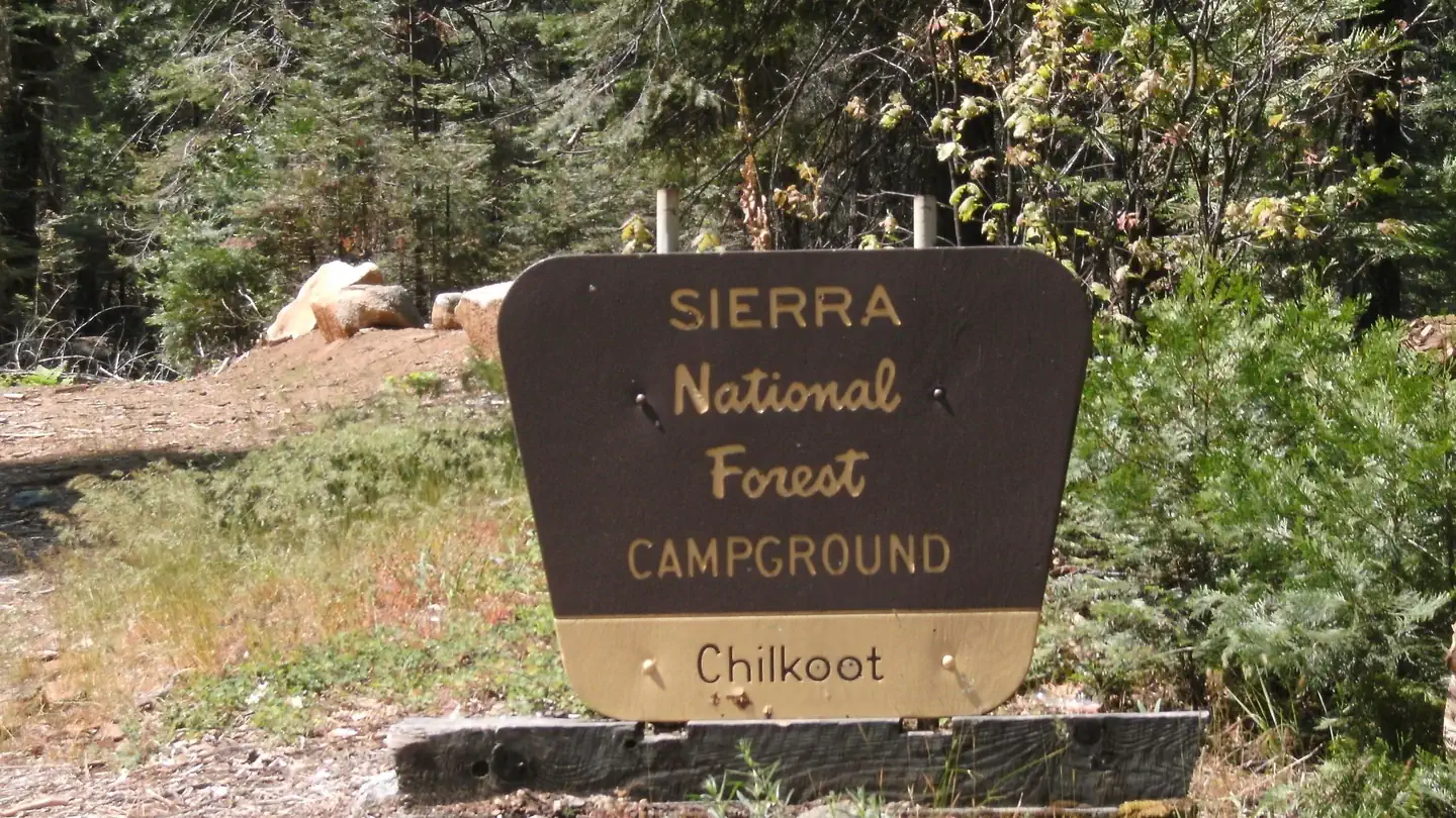
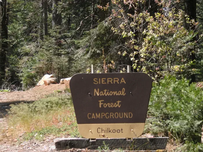
A brown and yellow Forest Sign for Chilkoot Campground on the Sierra National Forest — USFS
How to Get There
Directions from Fresno: Take Highway 41 through Oakhurst, California. Turn east on Forest Road 222 (Bass Lake turnoff) and continue on for 7 miles. Turn left onto Beashore Road, follow Beashore Road for 4 miles to the Chilkoot Campground.
Download your route in advance via Gaia, Caltopo, or OSM-based apps.
Recommendations adapt to the current forecast + trail stats. Use them as a starting point — local conditions, your experience, and the time of day you start all matter.
Plan Your Visit to CHILKOOT
Heading to CHILKOOT? A few things to know before you go:
Reservations: popular sites fill up fast — check Recreation.gov 6 months in advance
Fees: day-use and camping fees vary; check current rates on the official park page
Trash & pack-out: follow Leave No Trace principles
Wildlife: store food in bear boxes where provided; never feed wildlife
Weather: the 5-day forecast above is updated every 6 hours; verify just before you go
Frequently Asked Questions
Do I need a reservation for CHILKOOT?
No central reservation system listed for CHILKOOT. Check the official page (https://www.recreation.gov/camping/campgrounds/232882) for the latest entry policy and availability.
How many campsites are at CHILKOOT?
CHILKOOT has 34 campsites. Site amenities (hookups, vehicle limits, ADA access) vary — see the individual campsite pages for details.
How do I get to CHILKOOT?
Directions from Fresno: Take Highway 41 through Oakhurst, California. Turn east on Forest Road 222 (Bass Lake turnoff) and continue on for 7 miles. Turn left onto Beashore Road, follow Beashore Road for 4 miles to the Chilkoot Campground.