Bass Lake, California · Madera County · Campground
Overview Texas Flats Campground remains closed due to hazard trees. Texas Flats Campground is a horse-friendly group camp situated on the banks of McGilvery Creek. It is split into 4 sections named manzanita, red fir, white fir and cedar. Recreation Nearby logging and forest roads can be used as equestrian trails. The …
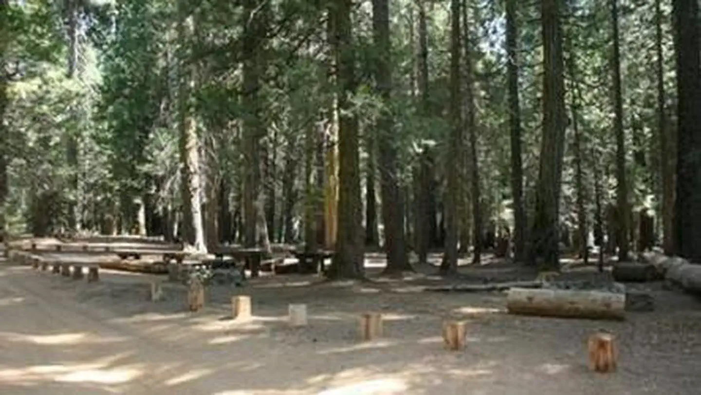
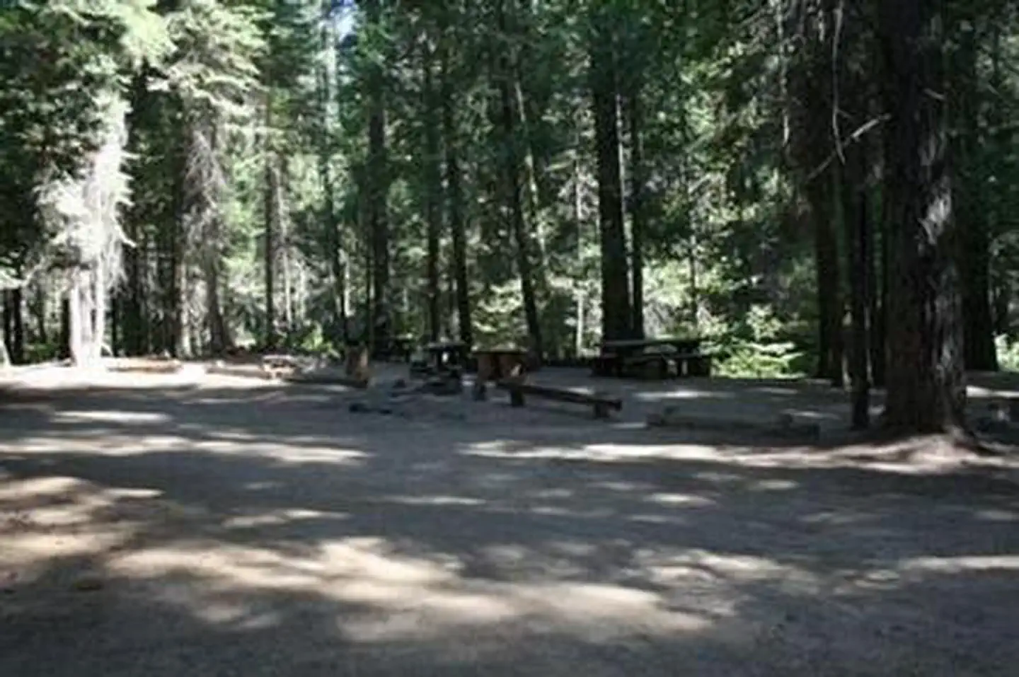
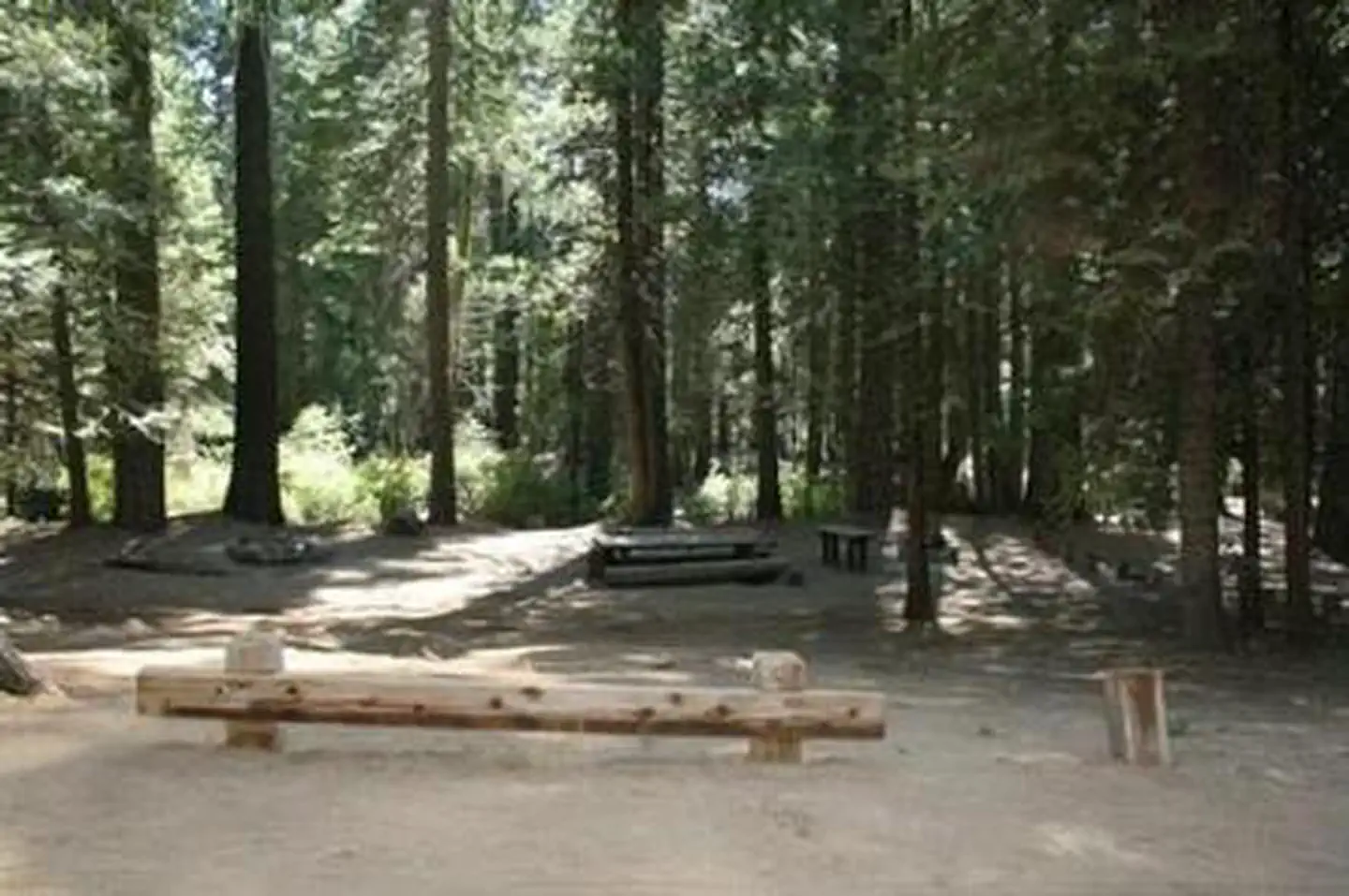
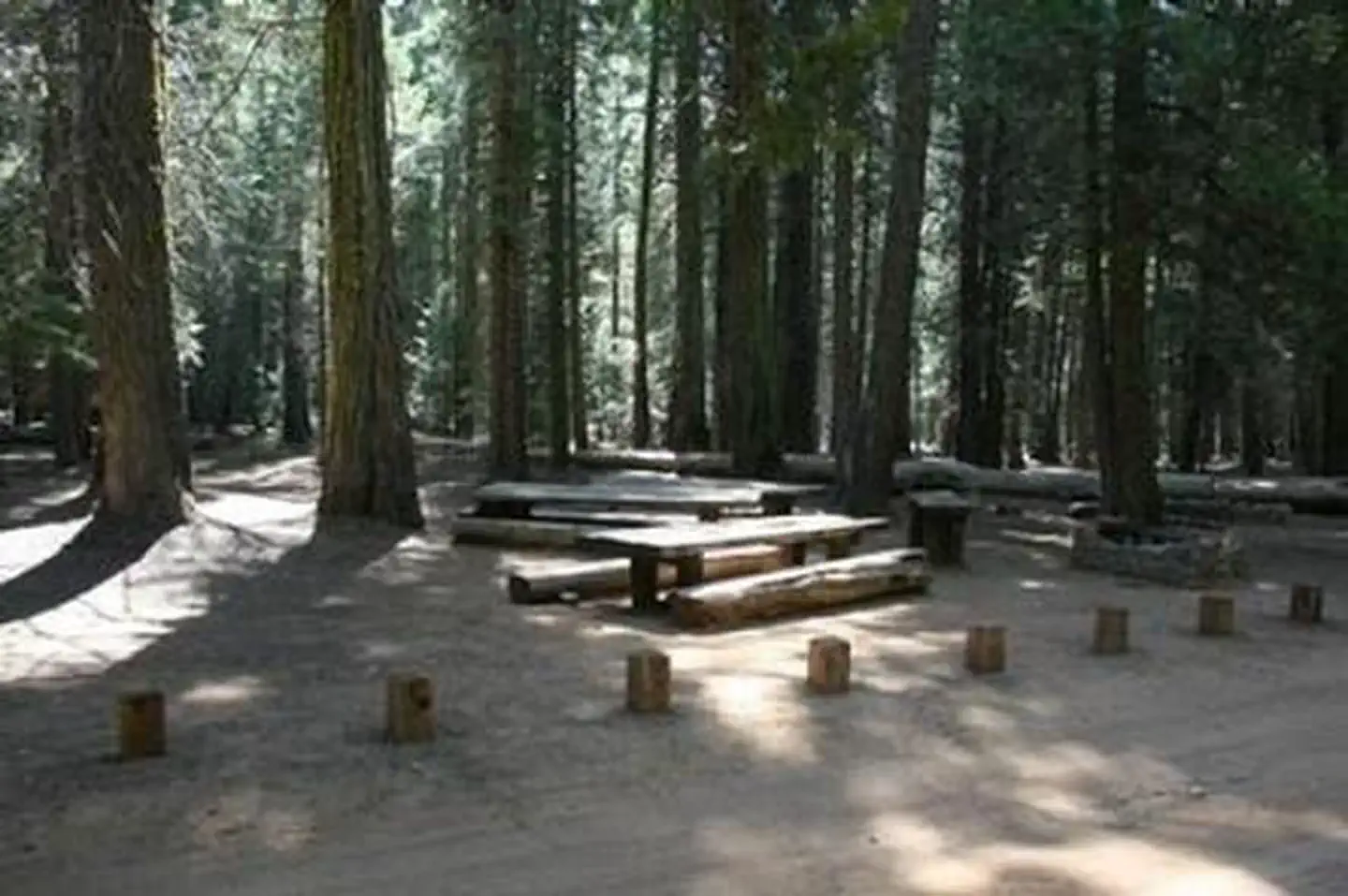
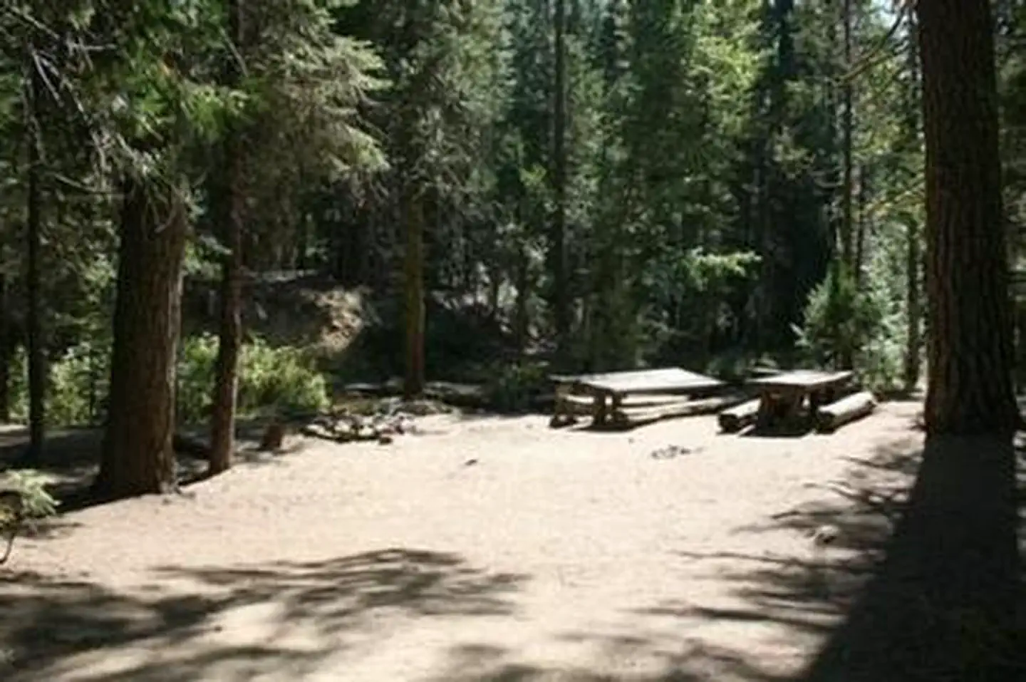
Overview Texas Flats Campground remains closed due to hazard trees. Texas Flats Campground is a horse-friendly group camp situated on the banks of McGilvery Creek. It is split into 4 sections named manzanita, red fir, white fir and cedar. Recreation Nearby logging and forest roads can be used as equestrian trails. The Shadow of the Giants, a popular 1-mile hike through a grove of giant sequoias, is just a short drive northwest of the campground.Facilities Each campsite can accommodate between 20-30 people and has picnic tables and campfire rings. Vault toilets are provided, but campers need to bring drinking water. This campground does not have facilities or corrals for horses.Natural Features The Sierra National Forest, located on the western slope of the central Sierra Nevada, is known for its spectacular mountain scenery and abundant natural resources. The terrain includes rolling, oak-covered foothills, heavily forested middle elevation slopes and the starkly beautiful alpine landscape of the High Sierra. Texas Flat Campground is located in the Highway 41 Corridor of the Bass Lake Ranger District. This area is known for the Nelder Grove of giant sequoias. Nearby Attractions Yosemite National Park is a popular day trip. Visitors can also take a ride on the historic logging train at Yosemite Mountain Sugar Pine Railroad. The Sierra Vista Scenic Byway (Sky Ranch Road), an 83-mile drive past some of the highlights of Sierra National Forest, runs nearby.
Photos
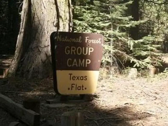
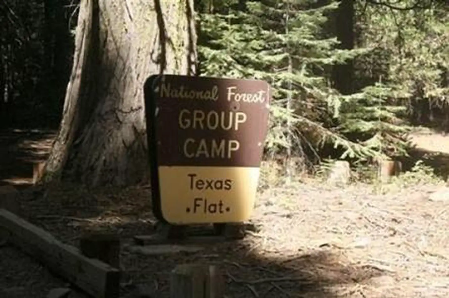
A brown and yellow Forest Service sign for Texas Flats Group Camp — USFSTEXAS FLATSTEXAS FLATSTEXAS FLATSTEXAS FLATSTEXAS FLATS
How to Get There
Take Highway 41 north through Oakhurst past Rd. 222 (aka Bass Lake turn off), to Road 632 (aka Sky Ranch Road). Turn right, travel 7 miles, and turn right on FS6S40 towards Soquel Campground. Travel for 1 mile, turn left on 6S08, cross the bridge and continue left through Greys Mt. Campground. Travel for 1 mile, turn left on 6S38, and continue for 2 miles to Texas Flat Campground. (Distances approximate).
Download your route in advance via Gaia, Caltopo, or OSM-based apps.
Recommendations adapt to the current forecast + trail stats. Use them as a starting point — local conditions, your experience, and the time of day you start all matter.
Plan Your Visit to TEXAS FLATS
Heading to TEXAS FLATS? A few things to know before you go:
Reservations: popular sites fill up fast — check Recreation.gov 6 months in advance
Fees: day-use and camping fees vary; check current rates on the official park page
Trash & pack-out: follow Leave No Trace principles
Wildlife: store food in bear boxes where provided; never feed wildlife
Weather: the 5-day forecast above is updated every 6 hours; verify just before you go
Frequently Asked Questions
Do I need a reservation for TEXAS FLATS?
No central reservation system listed for TEXAS FLATS. Check the official page (https://www.recreation.gov/camping/campgrounds/232879) for the latest entry policy and availability.
How many campsites are at TEXAS FLATS?
TEXAS FLATS has 4 campsites. Site amenities (hookups, vehicle limits, ADA access) vary — see the individual campsite pages for details.
How do I get to TEXAS FLATS?
Take Highway 41 north through Oakhurst past Rd. 222 (aka Bass Lake turn off), to Road 632 (aka Sky Ranch Road). Turn right, travel 7 miles, and turn right on FS6S40 towards Soquel Campground. Travel for 1 mile, turn left on 6S08, cross the bridge and continue left through Greys Mt. Campground. Travel for 1 mile, turn left on 6S38, and continue for 2 miles to Texas Flat Campground. (Distances appro…
How do I contact TEXAS FLATS?
You can reach the park at phone: 559-642-3212 or email: [email protected].