Yucca Valley, California · San Bernardino County · Campground
Overview Download the NPS app prior to visiting the park – trail maps and more! Black Rock Campground lies among one of the thickest Joshua tree forests in Joshua Tree National Park. Its location on the park's northern perimeter makes it a popular rest stop for hikers, birders, horseback riders and RV campers. Black Ro…
Overview Download the NPS app prior to visiting the park – trail maps and more! Black Rock Campground lies among one of the thickest Joshua tree forests in Joshua Tree National Park. Its location on the park's northern perimeter makes it a popular rest stop for hikers, birders, horseback riders and RV campers. Black Rock is one of four campgrounds in the national park that requires reservations year-round. To get the most out of your visit, Plan Like a Park Ranger Travelers who enjoy warm, dry winters flock to Joshua Tree from October through May, when temperatures hover between 70 to 90 degrees during the day and drop anywhere between 40 to 60 degrees at night. Summer is the park's off-season due to uncomfortably high desert heat. Black Rock is at an elevation of 4,000 feet and has a mix of both sun and shade. Recreation There are many great hiking trails around Black Rock, including some with spectacular views of the low desert and high peaks around Palm Springs. Popular rock climbing sites are within a half-hour drive from the campground.Facilities The facility is convenient for RV camping, complete with flush toilets and a dump station. There are no hookups. Black Rock is one of two campgrounds in the national park that provides drinking water. There are 99 individual sites in the facility. Showers, laundry and other amenities are available in the town of Yucca Valley five miles away. Natural Features The unique shape of Joshua trees and the huge rocks that surround them draw tourists and scientists alike to the national park. Within the Black Rock facility, the surrounding trees form silhouettes against the landscape during sunrise and sunset and display bunches of blooming white flowers in early spring. Campers staying at Black Rock may have the chance to view the elusive desert tortoise, found only in the southwestern United States and northwestern Mexico. Visitors may also want to keep their eyes out for more typical desert inhabitants such as lizards, rattl
Photos
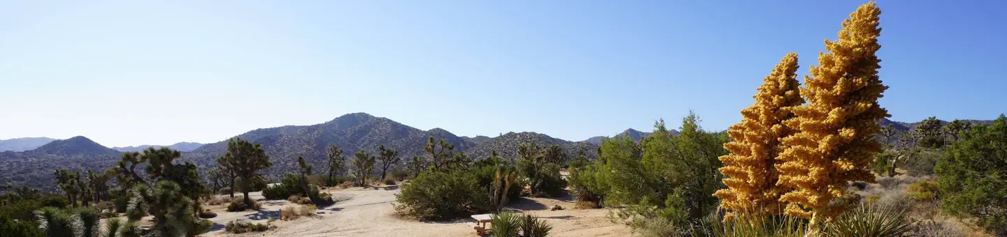
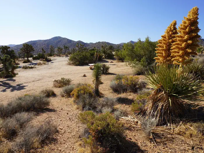
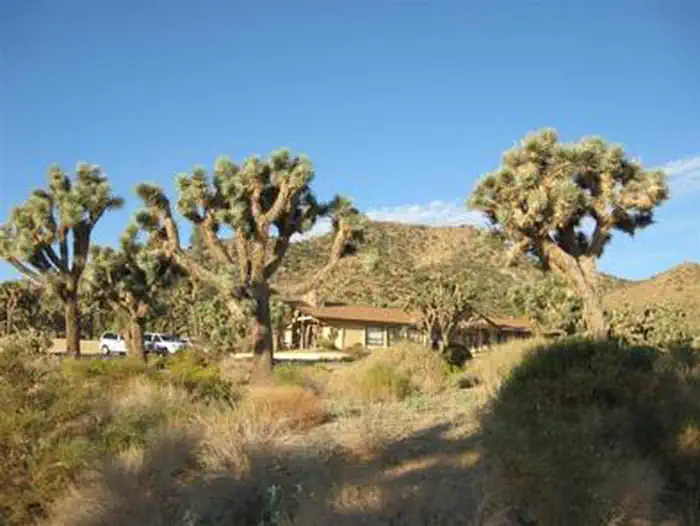
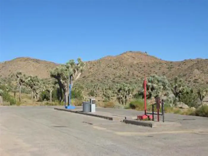
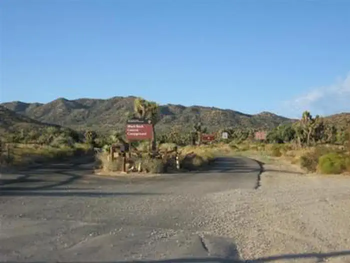
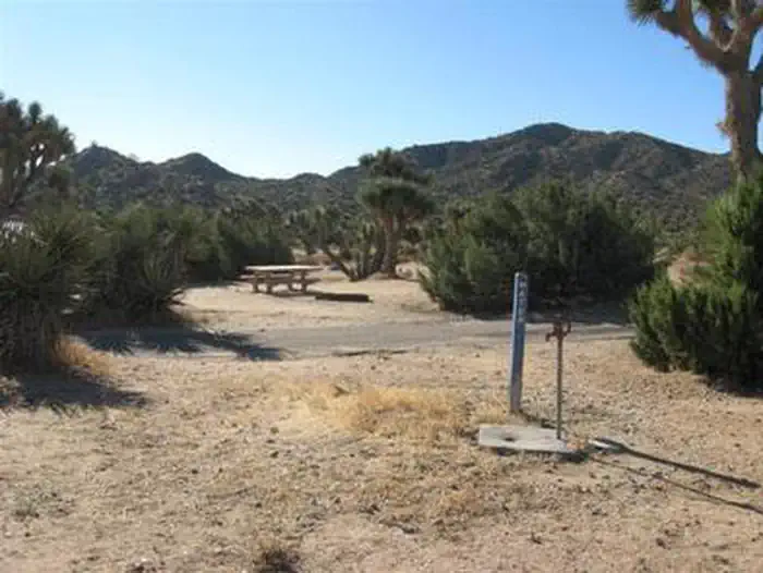
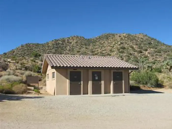
Black Rock Campground — NPSBLACK ROCK CAMPGROUND RANGER STATION — NPSBLACK ROCK CAMPGROUND — NPSBLACK ROCK CAMPGROUND ENTRANCE — NPSBLACK ROCK WATER PUMP — NPSBLACK ROCK RESTROOM — NPS
How to Get There
Take Interstate 10 to Route 62 into the town of Yucca Valley. Turn south on Joshua Lane and follow signs to campground, about five miles from the turn. If coming south on Highway 247, go straight across Highway 62 and continue onto Joshua Lane. There will be no sign for the park as you cross Route 62.
Download your route in advance via Gaia, Caltopo, or OSM-based apps.
Recommendations adapt to the current forecast + trail stats. Use them as a starting point — local conditions, your experience, and the time of day you start all matter.
Plan Your Visit to BLACK ROCK CAMPGROUND
Heading to BLACK ROCK CAMPGROUND? A few things to know before you go:
Reservations: popular sites fill up fast — check Recreation.gov 6 months in advance
Fees: day-use and camping fees vary; check current rates on the official park page
Trash & pack-out: follow Leave No Trace principles
Wildlife: store food in bear boxes where provided; never feed wildlife
Weather: the 5-day forecast above is updated every 6 hours; verify just before you go
Frequently Asked Questions
Do I need a reservation for BLACK ROCK CAMPGROUND?
No central reservation system listed for BLACK ROCK CAMPGROUND. Check the official page (https://www.recreation.gov/camping/campgrounds/232473) for the latest entry policy and availability.
How many campsites are at BLACK ROCK CAMPGROUND?
BLACK ROCK CAMPGROUND has 99 campsites. Site amenities (hookups, vehicle limits, ADA access) vary — see the individual campsite pages for details.
How do I get to BLACK ROCK CAMPGROUND?
Take Interstate 10 to Route 62 into the town of Yucca Valley. Turn south on Joshua Lane and follow signs to campground, about five miles from the turn. If coming south on Highway 247, go straight across Highway 62 and continue onto Joshua Lane. There will be no sign for the park as you cross Route 62.
How do I contact BLACK ROCK CAMPGROUND?
You can reach the park at phone: 760-367-5554 or email: [email protected].