Overview Table Mountain Group Campground is located 18 miles southwest of Bishop, California, along the South Fork of Bishop Creek. Here, the creek has bountiful trout to please anglers. Nearby glaciers and lakes make for incredible scenery and wildlife viewing is excellent. With over 2 million acres, the Inyo National…
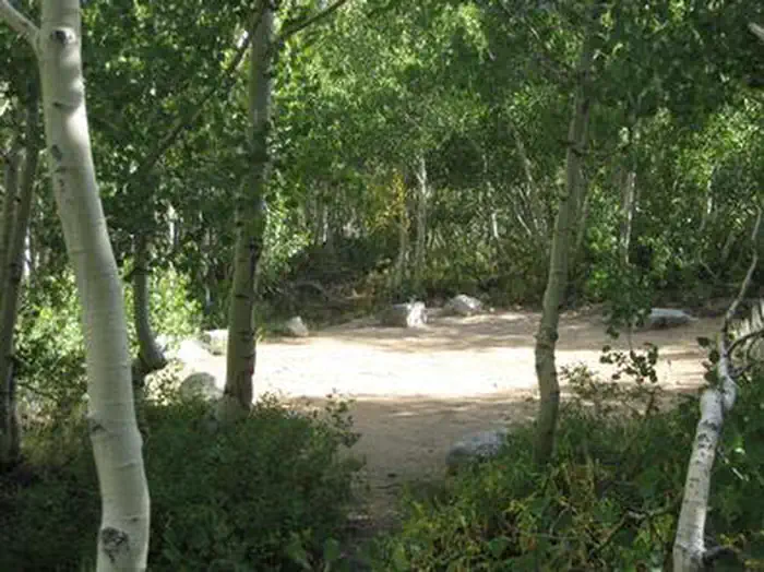
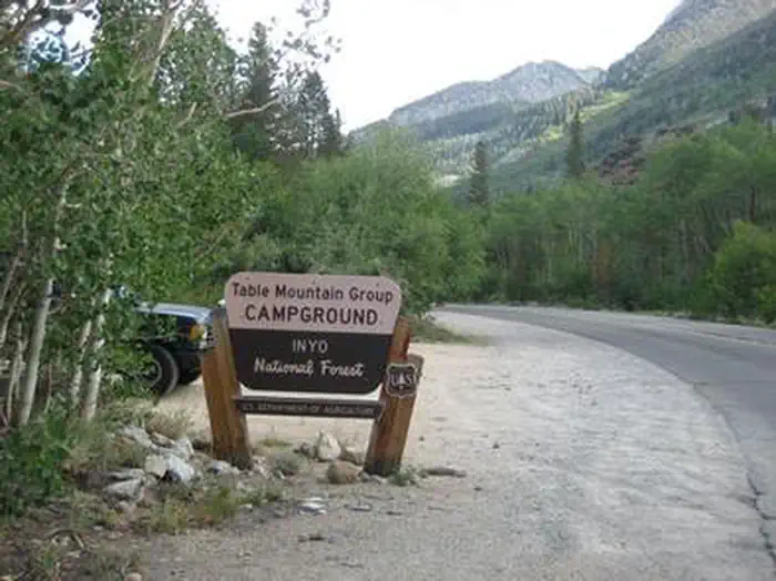
Overview Table Mountain Group Campground is located 18 miles southwest of Bishop, California, along the South Fork of Bishop Creek. Here, the creek has bountiful trout to please anglers. Nearby glaciers and lakes make for incredible scenery and wildlife viewing is excellent. With over 2 million acres, the Inyo National Forest is home to many natural wonders, including Mt. Whitney, Mono Lake, Mammoth Lakes Basin and the Ancient Bristlecone Pine Forest.Recreation Located near John Muir Wilderness, the area offers access to several trailheads for hiking and horseback riding. Less than a mile up the road is the trailhead for the Tyee Lakes Trail, highlighting epic views of the Inconsolable Range and the peaks that surround South Lake.Facilities The campground accommodates up to 25 guests for tent camping only. Campground conveniences include a vault toilet, bear boxes, campfire rings and easy access to trails. Within a few miles, campers can access a boat ramp and convenience store.Natural Features The campground sits adjacent to Bishop Creek among a variety of conifers like Jeffrey pine. Situated on Table Mountain, the campground is part of the White Mountain Ranger District. This district alone boasts he Ancient Bristlecone Pine Forest, numerous 14,000 foot peaks, ancient glaciers and pristine lakes. Nearby Attractions Take the John Muir Trail into the John Muir Wilderness and be swept away by excellent views of Devils Postpile. Contact Info For facility specific information, please call (760) 872-4552.
Photos
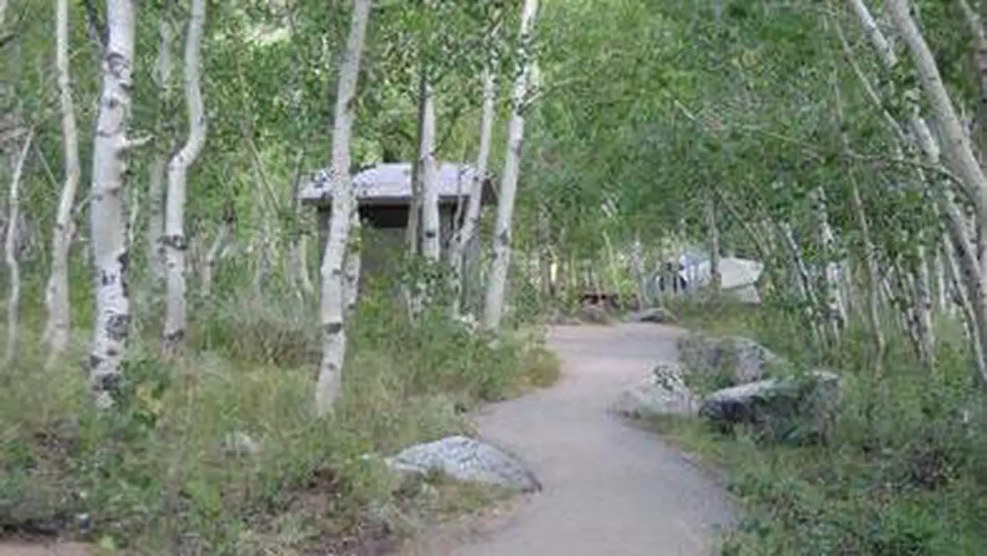
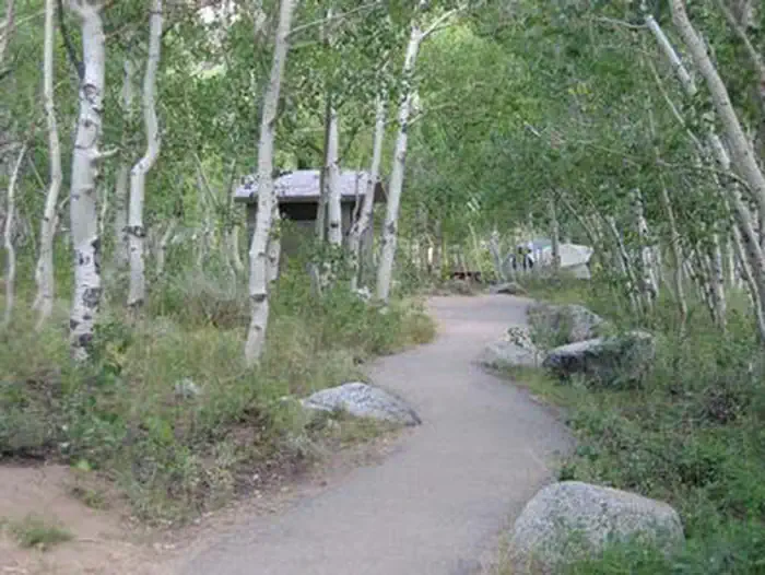
TABLE MOUNTAIN (INYO)TABLE MOUNTAIN (INYO)TABLE MOUNTAIN (INYO)TABLE MOUNTAIN (INYO)TABLE MOUNTAIN (INYO)A path winds through trees towards a restroom facility — USFS
How to Get There
From Highway 395 in the center of Bishop, turn west on Line Street (Highway 158) and continue west for 13 miles. Turn south on South Lake Road and continue for 5 miles to South Fork road.
Download your route in advance via Gaia, Caltopo, or OSM-based apps.
Recommendations adapt to the current forecast + trail stats. Use them as a starting point — local conditions, your experience, and the time of day you start all matter.
Plan Your Visit to TABLE MOUNTAIN (INYO)
Heading to TABLE MOUNTAIN (INYO)? A few things to know before you go:
Reservations: popular sites fill up fast — check Recreation.gov 6 months in advance
Fees: day-use and camping fees vary; check current rates on the official park page
Trash & pack-out: follow Leave No Trace principles
Wildlife: store food in bear boxes where provided; never feed wildlife
Weather: the 5-day forecast above is updated every 6 hours; verify just before you go
Frequently Asked Questions
Do I need a reservation for TABLE MOUNTAIN (INYO)?
No central reservation system listed for TABLE MOUNTAIN (INYO). Check the official page (https://www.recreation.gov/camping/campgrounds/232240) for the latest entry policy and availability.
How do I get to TABLE MOUNTAIN (INYO)?
From Highway 395 in the center of Bishop, turn west on Line Street (Highway 158) and continue west for 13 miles. Turn south on South Lake Road and continue for 5 miles to South Fork road.
How do I contact TABLE MOUNTAIN (INYO)?
You can reach the park at phone: 760-873-2500 or email: [email protected].