Overview Big Pine Canyon Recreation Area includes two group campground sites. Named for glaciers that can be seen at the end of the valley, Clyde Glacier Group Site and Palisade Glacier Group Site sit along Big Pine Creek.Recreation Fishing is a popular activity in the creek and nearby lakes. Climbers make use of the s…
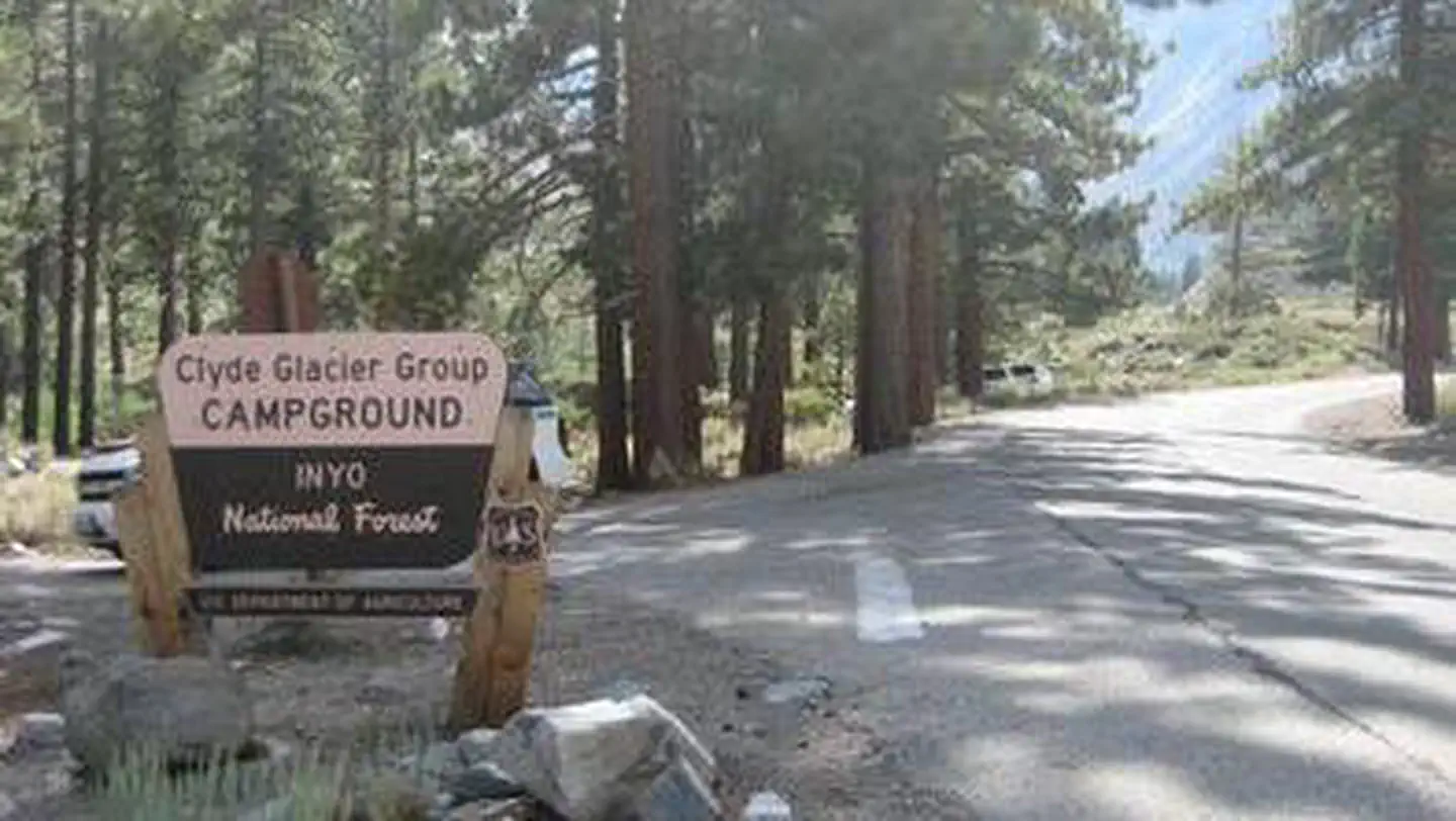
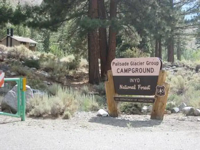
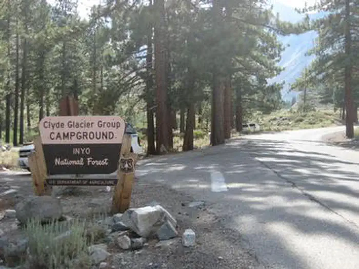
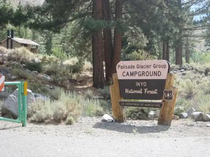
Overview Big Pine Canyon Recreation Area includes two group campground sites. Named for glaciers that can be seen at the end of the valley, Clyde Glacier Group Site and Palisade Glacier Group Site sit along Big Pine Creek.Recreation Fishing is a popular activity in the creek and nearby lakes. Climbers make use of the steep, glacier-carved canyon walls for excellent climbing opportunities. The North Fork Trail climbs past waterfalls and zigzags through Jeffrey pine, manzanita and sage before it reaches Big Pine Lakes with views of Palisade Glacier, the largest glacier. The South Fork Trail climbs to small lakes fed by glacial waters from Norman Clyde and Middle Palisade Glaciers, the southernmost glaciers.Facilities The Clyde Glacier standard campsite fits up to 25 guests. Parking includes two 35-foot and six 20-foot paved spaces. Palisades Glacier campsite is also paved and can accommodate 25 people for tent camping only. Campfire rings and grills are provided.Natural Features Big Pine Canyon is heralded for having both the largest and southern most glaciers in the Sierra Nevada mountains. Palisade Glacier, the largest, sits above Big Pine Lakes. These impressive glacial lakes at around 10,000 feet elevation are the source of the North Fork of Big Pine Creek. The South Fork is bordered by the Palisade Crest with peaks over 14,000 feet and Middle Palisade Glacier, the southernmost glacier. Nearby Attractions The glaciers in the nearby John Muir Wilderness provide an exciting hiking destination. A commercial pack station is within close proximity for horse enthusiasts looking for an outdoor adventure. A general store, pay showers and pond fishing can be found at a nearby resort.
Photos
A Forest Service brown and yellow sign on the side of a road — USFSBIG PINE CANYONBIG PINE CANYON
How to Get There
From Highway 395 in Big Pine, California, turn west at flashing yellow traffic light and continue on Crocker Street/Big Pine Road for 9 miles. The group campground is just above Upper Sage Flat Campground on the left.
Download your route in advance via Gaia, Caltopo, or OSM-based apps.
Recommendations adapt to the current forecast + trail stats. Use them as a starting point — local conditions, your experience, and the time of day you start all matter.
Plan Your Visit to BIG PINE CANYON
Heading to BIG PINE CANYON? A few things to know before you go:
Reservations: popular sites fill up fast — check Recreation.gov 6 months in advance
Fees: day-use and camping fees vary; check current rates on the official park page
Trash & pack-out: follow Leave No Trace principles
Wildlife: store food in bear boxes where provided; never feed wildlife
Weather: the 5-day forecast above is updated every 6 hours; verify just before you go
Frequently Asked Questions
Do I need a reservation for BIG PINE CANYON?
No central reservation system listed for BIG PINE CANYON. Check the official page (https://www.recreation.gov/camping/campgrounds/232236) for the latest entry policy and availability.
How do I get to BIG PINE CANYON?
From Highway 395 in Big Pine, California, turn west at flashing yellow traffic light and continue on Crocker Street/Big Pine Road for 9 miles. The group campground is just above Upper Sage Flat Campground on the left.
How do I contact BIG PINE CANYON?
You can reach the park at phone: 760-935-4339 or email: [email protected].