Olympic Valley, California · Placer County · Campground
Overview Gates Group Campground is located on the North Fork American River, at the north end of the French Meadows Reservoir in the Tahoe National Forest. It is 40 miles from the town of Foresthill. Visitors enjoy the area for its fishing, boating and trail opportunities. Recreation The North Fork American River provi…
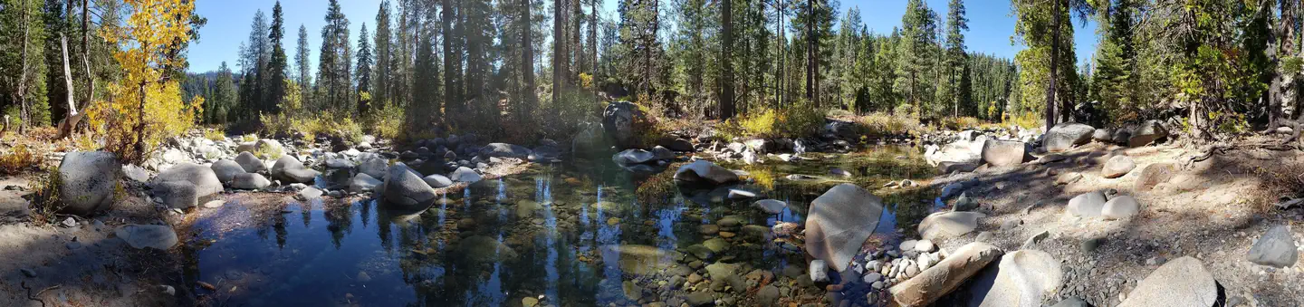
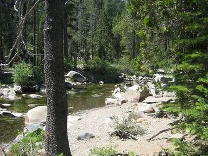
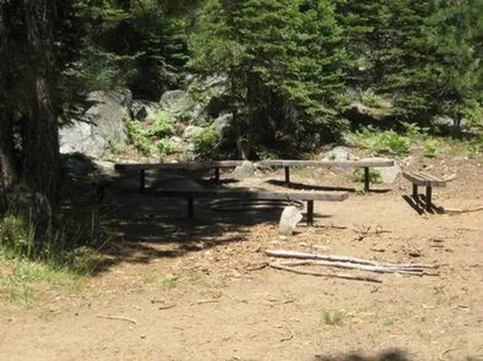
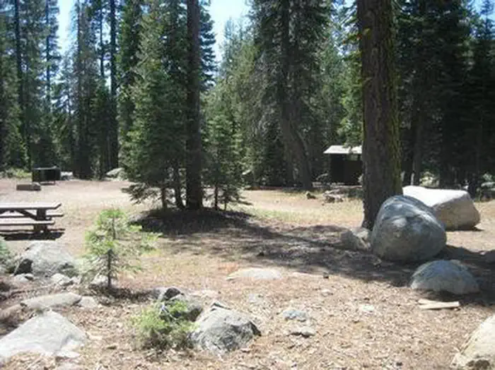
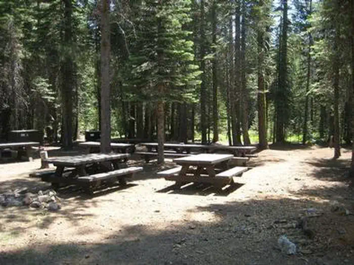
Overview Gates Group Campground is located on the North Fork American River, at the north end of the French Meadows Reservoir in the Tahoe National Forest. It is 40 miles from the town of Foresthill. Visitors enjoy the area for its fishing, boating and trail opportunities. Recreation The North Fork American River provides fishing and swimming. The reservoir can be accessed nearby. Popular activities include boating, canoeing, fishing and swimming. Two boat ramps are located within three miles of the campground. A variety of hiking and biking trails are found in the surrounding area, including some that provide access to the nearby Granite Chief Wilderness. Just down the road is the Granite Chief Wilderness which provides amazing hiking opportunities for an adventurous party to explore historic aspen trees and secluded mountain passes and trails. The Western States Trail provides great opportunity for hiker, horseback riders, dirt bikers, and for adventurous maintain bikers.Facilities The campground offers three group campsites. Two sites can accommodate up to 25 people and eight vehicles each. Another group site can accommodates up to 75 people and 25 vehicles. Picnic tables, campfire circles and grills are provided, as are vault toilets and drinking water.Natural Features The campground is situated along the river, just north of French Meadows Reservoir. A coniferous forest covers the area. At an elevation of 5200 feet, summertime temperatures are warm in the day and cool at night.
Photos
GATES GROUPGATES GROUPGATES GROUPGATES GROUPGATES GROUPGATES GROUP
How to Get There
High clearance vehicles may take Foresthill Rd to the 43 Rd (Robinson Flat Rd) to Mosquito Ridge Rd, snow permitting. Access from Soda Springs and the 43 Rd is not recommended for trucks with trailers, motorhomes/RV's or passenger vehicles that are not high clearance vehicles with four wheel drive.
Download your route in advance via Gaia, Caltopo, or OSM-based apps.
Recommendations adapt to the current forecast + trail stats. Use them as a starting point — local conditions, your experience, and the time of day you start all matter.
Plan Your Visit to GATES GROUP
Heading to GATES GROUP? A few things to know before you go:
Reservations: popular sites fill up fast — check Recreation.gov 6 months in advance
Fees: day-use and camping fees vary; check current rates on the official park page
Trash & pack-out: follow Leave No Trace principles
Wildlife: store food in bear boxes where provided; never feed wildlife
Weather: the 5-day forecast above is updated every 6 hours; verify just before you go
Frequently Asked Questions
Do I need a reservation for GATES GROUP?
No central reservation system listed for GATES GROUP. Check the official page (https://www.recreation.gov/camping/campgrounds/232048) for the latest entry policy and availability.
How many campsites are at GATES GROUP?
GATES GROUP has 3 campsites. Site amenities (hookups, vehicle limits, ADA access) vary — see the individual campsite pages for details.
How do I get to GATES GROUP?
High clearance vehicles may take Foresthill Rd to the 43 Rd (Robinson Flat Rd) to Mosquito Ridge Rd, snow permitting. Access from Soda Springs and the 43 Rd is not recommended for trucks with trailers, motorhomes/RV's or passenger vehicles that are not high clearance vehicles with four wheel drive.