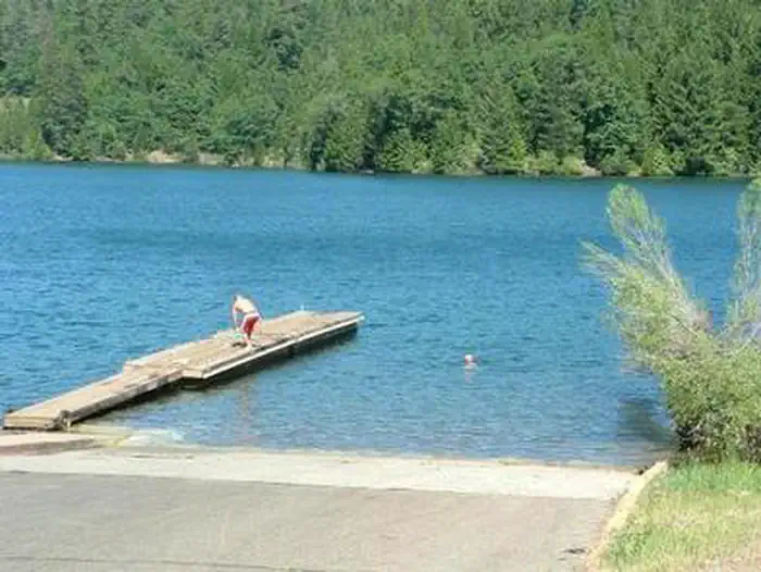
Overview Forbes Creek Group Campground is located near the southeast shore of Sugar Pine Reservoir in the Tahoe National Forest. Visitors enjoy the area for its fishing, canoeing and hiking opportunities. This facility is operated and maintained by the Tahoe National Forest.Recreation Fishing, canoeing, swimming and bo…
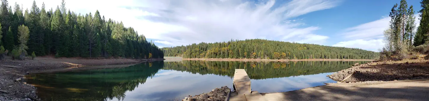
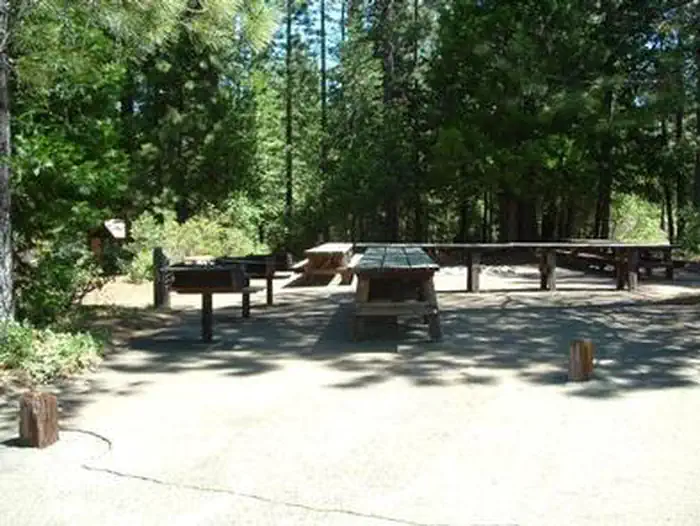
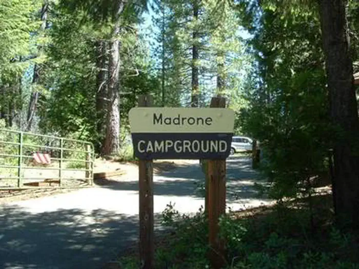
Overview Forbes Creek Group Campground is located near the southeast shore of Sugar Pine Reservoir in the Tahoe National Forest. Visitors enjoy the area for its fishing, canoeing and hiking opportunities. This facility is operated and maintained by the Tahoe National Forest.Recreation Fishing, canoeing, swimming and boating are popular activities on the reservoir. A trail system for walking and non-motorized biking connects the two group sites at the campground, to the lake and nearby boat ramp. The North Fork of the American River is nearby, offering opportunities for additional fishing and swimming. Many miles of hiking, biking and off-road vehicle trails are in the surrounding area.Facilities The campground offers two group campsites, Madrone and Rocky Ridge. Each site can accommodate up to 50 people and 18 vehicles. Both sites are equipped with a central cooking and picnic area, with a large campfire circle and multiple tables. RVs, trailers and tents are allowed within the campground. An unloading area and accessible parking are available within the campground.Natural Features The 160-acre Sugar Pine Reservoir sits at an elevation of 3,600 feet. Stands of cedar and ponderosa pine provides ample shade in the campground, which overlooks the reservoir. Summertime temperatures are warm during the day and cool at night.
Photos
FORBES CREEKFORBES CREEKFORBES CREEKFORBES CREEKFORBES CREEKFORBES CREEK
How to Get There
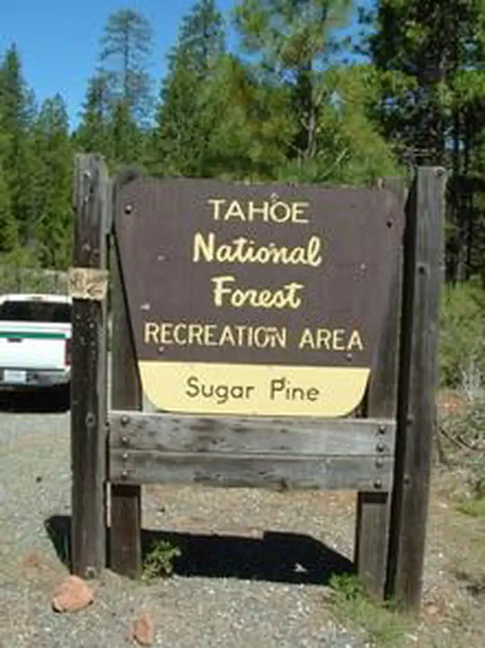
Take Interstate 80 to the Foresthill/Auburn exit, near Auburn. Continue east for 17 miles to Foresthill. Travel through town, about 9 miles, to Forest Road 10/Sugar Pine Road. Turn left and continue about 9 miles. Look for the Sugar Pine Recreation Area sign and turn right on the first road after the sign. Continue about a half-mile to the Rocky Ridge Group Campground, on the right, and to the Madrone Group Campground, at the end of the circle.
Download your route in advance via Gaia, Caltopo, or OSM-based apps.
Recommendations adapt to the current forecast + trail stats. Use them as a starting point — local conditions, your experience, and the time of day you start all matter.
Plan Your Visit to FORBES CREEK
Heading to FORBES CREEK? A few things to know before you go:
Reservations: popular sites fill up fast — check Recreation.gov 6 months in advance
Fees: day-use and camping fees vary; check current rates on the official park page
Trash & pack-out: follow Leave No Trace principles
Wildlife: store food in bear boxes where provided; never feed wildlife
Weather: the 5-day forecast above is updated every 6 hours; verify just before you go
Frequently Asked Questions
Do I need a reservation for FORBES CREEK?
No central reservation system listed for FORBES CREEK. Check the official page (https://www.recreation.gov/camping/campgrounds/232045) for the latest entry policy and availability.
How do I get to FORBES CREEK?
Take Interstate 80 to the Foresthill/Auburn exit, near Auburn. Continue east for 17 miles to Foresthill. Travel through town, about 9 miles, to Forest Road 10/Sugar Pine Road. Turn left and continue about 9 miles. Look for the Sugar Pine Recreation Area sign and turn right on the first road after the sign. Continue about a half-mile to the Rocky Ridge Group Campground, on the right, and to the Mad…