California Hot Springs, California · Tulare County · Campground
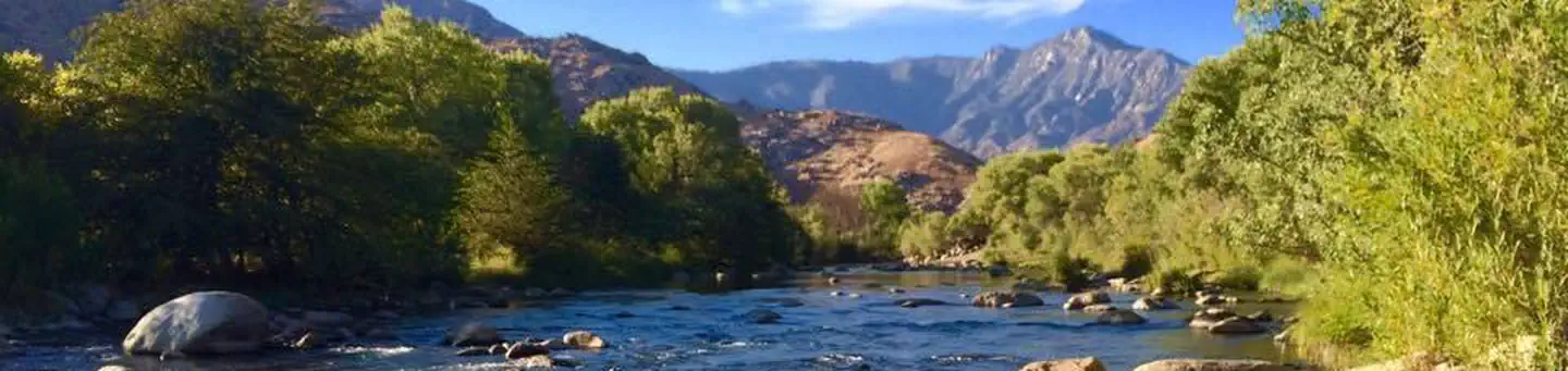
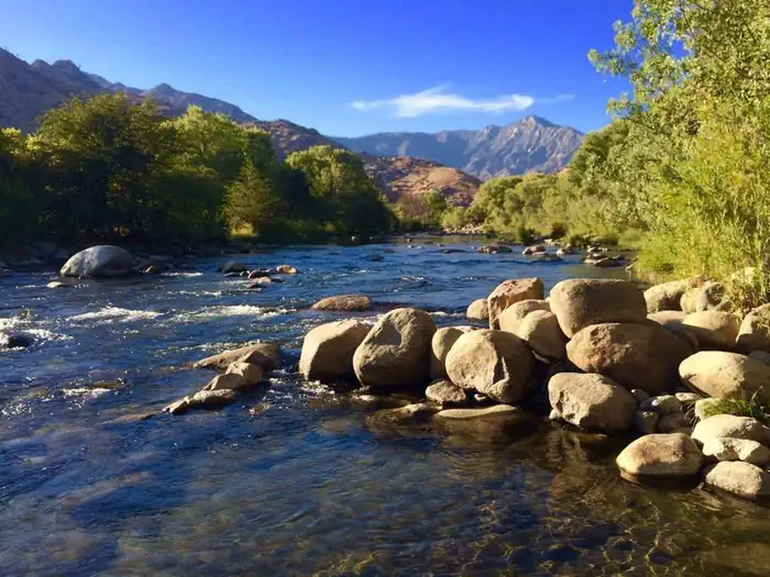
Overview Limestone Campground sits in an area dotted with oak and gray pine along the Upper Kern River, a designated Wild and Scenic River, at an elevation of 3,500 feet.Recreation Whitewater rafting and kayaking on the Upper Kern River are popular activities. To learn more about the Upper Kern River, including safety …
Overview Limestone Campground sits in an area dotted with oak and gray pine along the Upper Kern River, a designated Wild and Scenic River, at an elevation of 3,500 feet.Recreation Whitewater rafting and kayaking on the Upper Kern River are popular activities. To learn more about the Upper Kern River, including safety and permitting requirements and a listing of local outfitters, visit the Sequoia National Forest’s overview of the area.Facilities The campground, located 16 miles north of Kernville, has 19 paved sites. Picnic areas, vault toilets are provided. Natural Features The Sequoia National Forest, located at the southern end of the Sierra Nevada in central California, takes its name from the giant sequoia, the world's largest tree, which grows in more than 30 groves on the forest's lower slopes. The forest comprises about 1.1 million acres, and elevations range from about 1,000 to 12,000 feet creating precipitous canyons and mountain streams with spectacular waterfalls such as Salmon Creek Falls and Grizzly Falls. At various points along the river, gray pines, scrub oaks, grass and dry climate shrubs cling to steep canyon walls, while cottonwoods and willows line the water's edge. Nearby Attractions The campground provides a good base for day trips to the Sequoia National Park Trail of 100 Giants. The Giant Sequoia Mercantile offers a wide variety of books, maps, gifts, local art, camping supplies and other merchandise. Contact Info For facility specific information, please call (760) 376-1269.
Photos
Upper Kern River — Share the Experience, Gary Ananian
How to Get There
Off of Highway 99 in Bakersfield, California, take Highway 178 east to Lake Isabella. From Lake Isabella take Highway 155 around the west side of the lake to the town of Kernville. From Kernville go north on Sierra Way/Mountain 99 for 16 miles to the campground.
Download your route in advance via Gaia, Caltopo, or OSM-based apps.
Recommendations adapt to the current forecast + trail stats. Use them as a starting point — local conditions, your experience, and the time of day you start all matter.
Plan Your Visit to LIMESTONE CAMPGROUND
Heading to LIMESTONE CAMPGROUND? A few things to know before you go:
Reservations: popular sites fill up fast — check Recreation.gov 6 months in advance
Fees: day-use and camping fees vary; check current rates on the official park page
Trash & pack-out: follow Leave No Trace principles
Wildlife: store food in bear boxes where provided; never feed wildlife
Weather: the 5-day forecast above is updated every 6 hours; verify just before you go
Frequently Asked Questions
Do I need a reservation for LIMESTONE CAMPGROUND?
No central reservation system listed for LIMESTONE CAMPGROUND. Check the official page (https://www.recreation.gov/camping/campgrounds/123440) for the latest entry policy and availability.
How do I get to LIMESTONE CAMPGROUND?
Off of Highway 99 in Bakersfield, California, take Highway 178 east to Lake Isabella. From Lake Isabella take Highway 155 around the west side of the lake to the town of Kernville. From Kernville go north on Sierra Way/Mountain 99 for 16 miles to the campground.
How do I contact LIMESTONE CAMPGROUND?
You can reach the park at phone: 760-376-1815 or email: [email protected].