Death Valley, California · Inyo County · Campground
Overview PLEASE BE AWARE:These are primitive sites that do not offer water, electricity, toilet access, or any amenities. Most primitive roadside campsites require a high clearance vehicle, and 4-wheel drive is highly encouraged. Road conditions can change quickly. High clearance vehicles are defined as a SUV or truck …
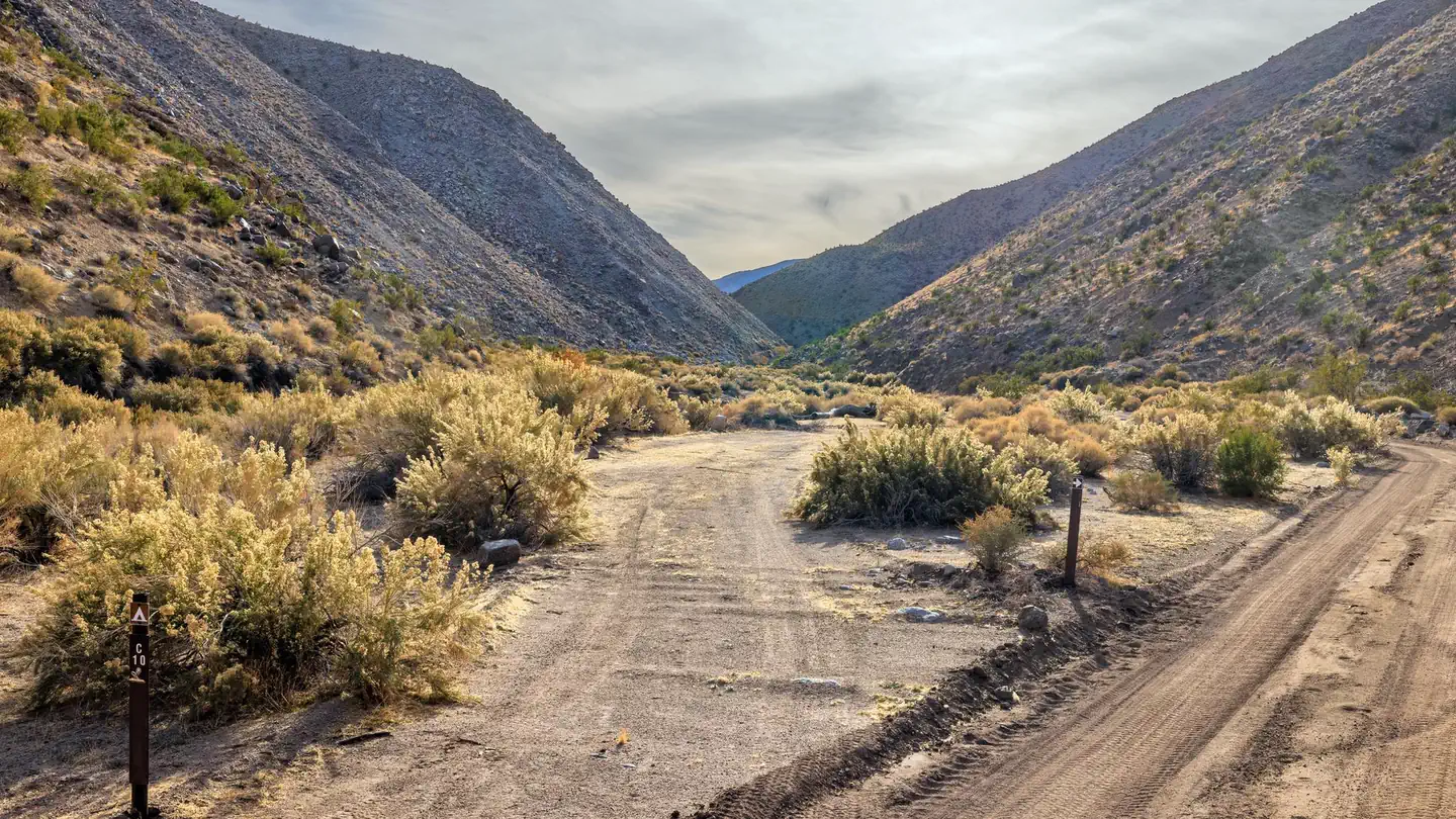
Overview PLEASE BE AWARE:These are primitive sites that do not offer water, electricity, toilet access, or any amenities. Most primitive roadside campsites require a high clearance vehicle, and 4-wheel drive is highly encouraged. Road conditions can change quickly. High clearance vehicles are defined as a SUV or truck with at least 15 inch tire rims AND at least 8 inches of ground clearance from the lowest point of the frame, body, or suspension. Despite its morbid name, a great diversity of life survives in Death Valley! In this below-sea-level basin, steady drought and record summer heat make Death Valley a land of extremes. Yet, each extreme has a striking contrast. Towering peaks are frosted with winter snow. Rare rainstorms bring vast fields of wildflowers. Lush oases harbor tiny fish and refuge for wildlife and humans. Death Valley has sunk below sea level through geologic processes over time. It lies within the Mojave Desert and is the hottest, driest and lowest location in North America. Despite its extreme climate, the park boasts a diversity of ecosystems, including colorful badlands, snow-covered peaks, desolate sand dunes, rugged canyons and flat, dry basins called playas. Backcountry Roadside camping in Death Valley provides a primitive backcountry experience in the park's premier wilderness. All of these designated sites are located in remote locations and campers must be self-sufficient. Visit the park's Backcountry Camping page for more information. Recreation There are over 3.4 million acres of Death Valley to explore. The popular main attractions are accessible by paved roads and more remote areas of the park will require high clearance, 4-wheel drive. Please visit the park's website for helpful tips when planning your trip. Facilities Backcountry Roadside Campsites: Primitive roadside camping with your vehicle in designated campsites along rugged backcountry dirt roads. These are primitive, roadside campsites which require extra trip planning. Ple
Photos
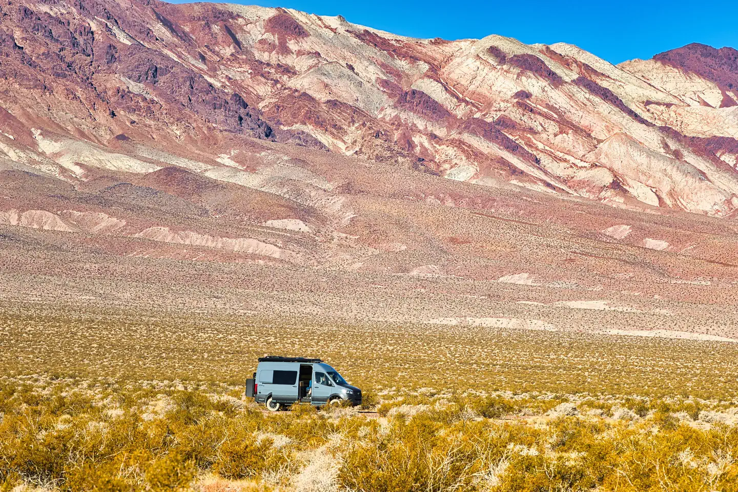
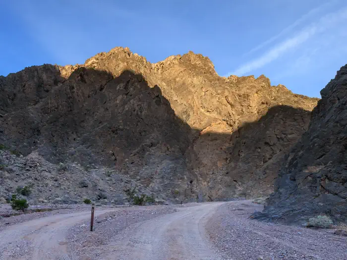
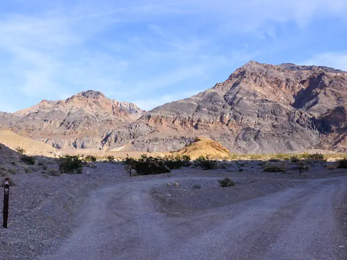
Gray campervan on roadside campsite with green brush vegetation in the foreground and dramatic reddish and white stratified mountains in the far background. — J. Shoemaker/NPSGravel dirt road with a parallel roadside campsite surrounded by dark canyon walls. — J.Hallet/NPSGravel dirt road with parallel roadside campsite shaded in the foreground, sunny mountains in the background. — J.Hallet/NPS
How to Get There
Note: Do not exclusively rely on GPS navigation while travelling in Death Valley National Park. Travelers should always carry up-to-date road maps and be aware that there is no cell phone service along most park roads. Always travel prepared to self-rescue as help may be hours away. There is no specific street address for the park. Furnace Creek Visitor Center coordinates: 36.46171, -116.86682 Stovepipe Wells Ranger Station coordinates: 36.608048, -117.144504 Paved Entrances East Side: CA 190 from Death Valley Junction, CA SR 374 from Beatty, NV CA 178 from Shoshone, CA West Side: CA 190 from Olancha, CA (SR 136 from Lone Pine, CA) SR 178 (Panamint Valley Rd) from Trona, CA Cottonwood – Marble Canyon Rd From CA-190 enter Stovepipe Wells Campground. Turn left on the Cottonwood Marble Road marked by a sign for the airport. Check conditions prior to travel.
Download your route in advance via Gaia, Caltopo, or OSM-based apps.
Recommendations adapt to the current forecast + trail stats. Use them as a starting point — local conditions, your experience, and the time of day you start all matter.
Plan Your Visit to Death Valley Backcountry Roadside Camping
Heading to Death Valley Backcountry Roadside Camping? A few things to know before you go:
Reservations: popular sites fill up fast — check Recreation.gov 6 months in advance
Fees: day-use and camping fees vary; check current rates on the official park page
Trash & pack-out: follow Leave No Trace principles
Wildlife: store food in bear boxes where provided; never feed wildlife
Weather: the 5-day forecast above is updated every 6 hours; verify just before you go
Frequently Asked Questions
Do I need a reservation for Death Valley Backcountry Roadside Camping?
No central reservation system listed for Death Valley Backcountry Roadside Camping. Check the official page (https://www.recreation.gov/camping/campgrounds/10303151) for the latest entry policy and availability.
How many campsites are at Death Valley Backcountry Roadside Camping?
Death Valley Backcountry Roadside Camping has 49 campsites. Site amenities (hookups, vehicle limits, ADA access) vary — see the individual campsite pages for details.
How do I get to Death Valley Backcountry Roadside Camping?
Note: Do not exclusively rely on GPS navigation while travelling in Death Valley National Park. Travelers should always carry up-to-date road maps and be aware that there is no cell phone service along most park roads. Always travel prepared to self-rescue as help may be hours away. There is no specific street address for the park. Furnace Creek Visitor Center coordinates: 36.46171, -116.86682 Sto…
How do I contact Death Valley Backcountry Roadside Camping?
You can reach the park at phone: 760-786-3200 or email: [email protected].