Mountain Pine, Arkansas · Garland County · Campground
Overview Avery Recreation Area sits just below Blakely Mountain Dam and along the western shore of the Ouachita River/ Lake Hamilton. This day-use area offers great shoreline fishing access, an ADA fishing pier, boat ramp, reservable pavilion, restroom, and hiking trails. There is a small paved ADA trail with scenic be…
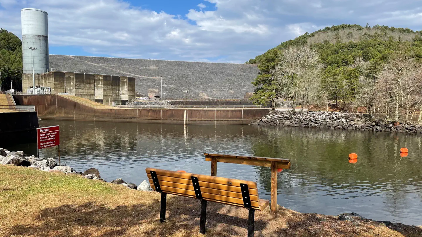
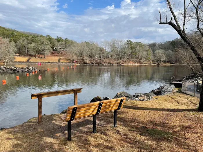
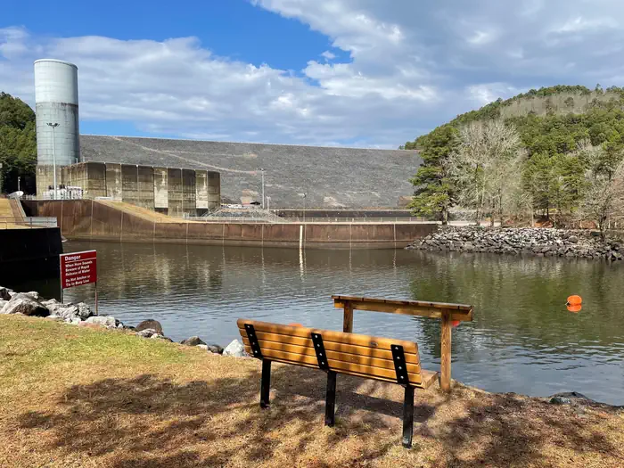
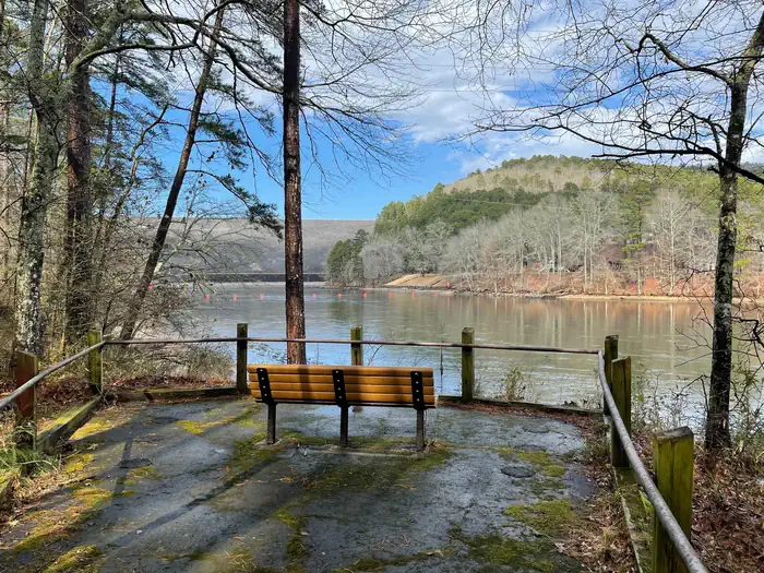
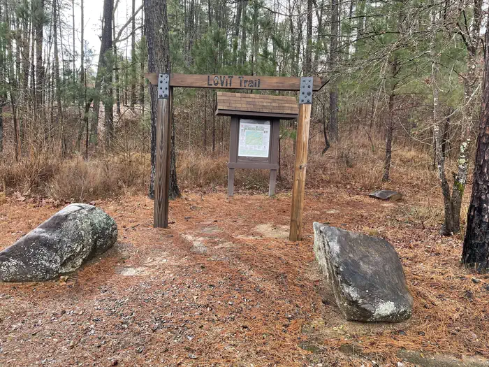
Overview Avery Recreation Area sits just below Blakely Mountain Dam and along the western shore of the Ouachita River/ Lake Hamilton. This day-use area offers great shoreline fishing access, an ADA fishing pier, boat ramp, reservable pavilion, restroom, and hiking trails. There is a small paved ADA trail with scenic benches. The Wood Duck Slough Trail has great wildlife viewing opportunities. Avery is also home to one of the main trailheads of the Lake Ouachita Vista Trail (LOViT) a 40 mile long trail system that meanders along the southern shore of Lake Ouachita. Click here for the Lake Ouachita Virtual Tour. Recreation Water skiers, jet skiers and anglers can all enjoy the crystal clear waters of the lake, while hikers enjoy the location on the Lake Ouachita Vista Trail (LOViT), which meanders across the south end of the lake. Natural Features Lake Ouachita is nestled in the Ouachita Mountains just 10 miles west of Hot Springs National Park. The pool is fed by the cool waters of the Ouachita River and extends about 30 miles over 40,000 surface acres. Contact Info This location is unstaffed. To speak with our main office for general information, please call: (501) 767-2101. Nearby Attractions Head to Hot Springs National Park and discover how it earned the nickname, "The American Spa." Or take a scenic drive through the 1.8 million-acres of Ouachita National Forest.
Photos
Avery Day-Use fishing — usaceAvery Boat Ramp for the Ouachita River/ Lake Hamilton — usaceAvery Day-Use — usaceADA Trail Bench — usaceLake Ouachita Vista Trail (LOViT) Trailhead — usace
How to Get There
From Hot Springs, AR: Take US 270 west to AR-227 N/Mountain Pine Rd for 6 miles. Continue straight on Blakely Dam road through Mountain Pine and past Mountain Pine school. Drive across the base of Blakely Mountain Dam and Avery Recreation Area will be on your left.
Download your route in advance via Gaia, Caltopo, or OSM-based apps.
🛍
Dry bags for electronics
Phone, camera, and snacks should stay dry.
Recommendations adapt to the current forecast + trail stats. Use them as a starting point — local conditions, your experience, and the time of day you start all matter.
Plan Your Visit to Avery
Heading to Avery? A few things to know before you go:
Reservations: popular sites fill up fast — check Recreation.gov 6 months in advance
Fees: day-use and camping fees vary; check current rates on the official park page
Trash & pack-out: follow Leave No Trace principles
Wildlife: store food in bear boxes where provided; never feed wildlife
Weather: the 5-day forecast above is updated every 6 hours; verify just before you go
Frequently Asked Questions
Do I need a reservation for Avery?
No central reservation system listed for Avery. Check the official page (https://www.recreation.gov/camping/campgrounds/10103087) for the latest entry policy and availability.
How many campsites are at Avery?
Avery has 1 campsites. Site amenities (hookups, vehicle limits, ADA access) vary — see the individual campsite pages for details.
How do I get to Avery?
From Hot Springs, AR: Take US 270 west to AR-227 N/Mountain Pine Rd for 6 miles. Continue straight on Blakely Dam road through Mountain Pine and past Mountain Pine school. Drive across the base of Blakely Mountain Dam and Avery Recreation Area will be on your left.