About LOST BRIDGE SOUTH
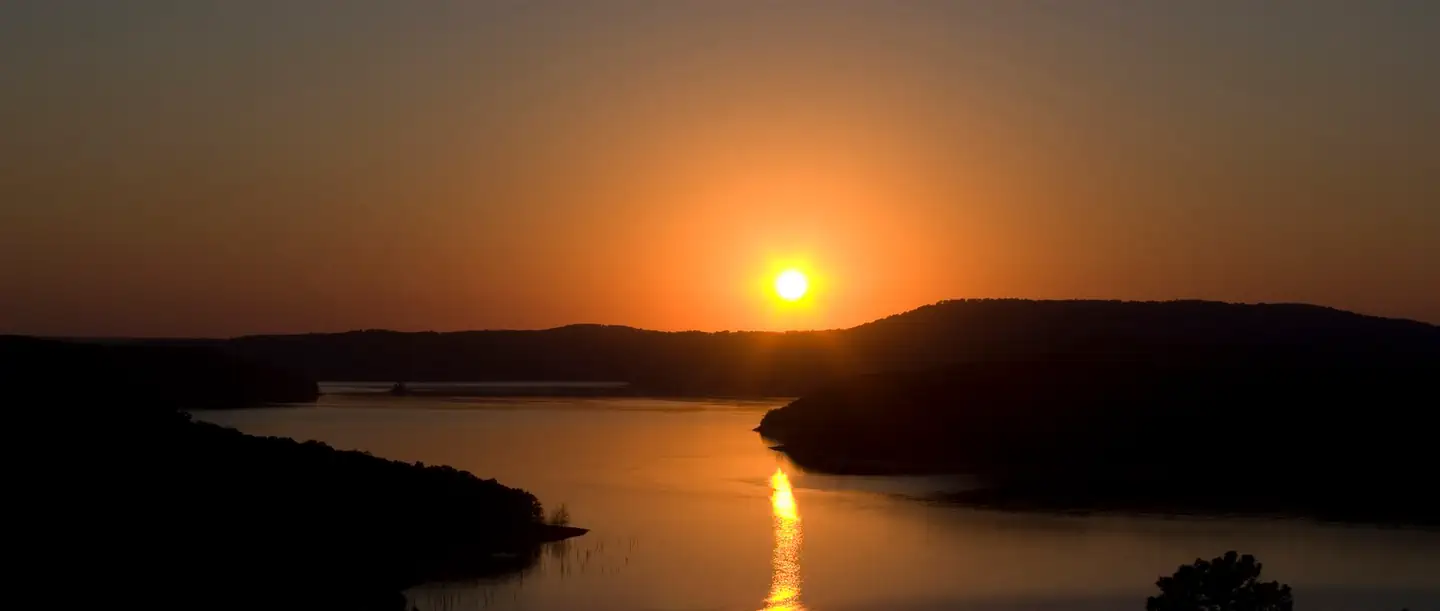
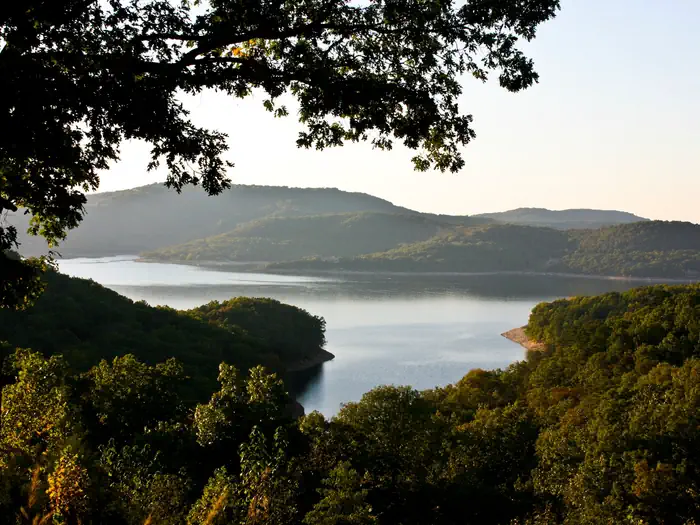
Overview Lost Bridge South Campground sits along the vast shores of Beaver Lake in the Ozark Mountains of Northwest Arkansas, offering spacious and sunny campsites and an abundance of recreational activities. Recreation Fishing opportunities are plentiful near Lost Bridge South Campground. Beaver Lake has more than 28,000 surface acres of water, and anglers can try their luck at catching large and small-mouth bass, crappie, bream, white bass, stripers, and channel or spoon-bill catfish. Just below the dam, the cold waters of the upper White River provide the perfect habitat for pole-bending rainbow and record-sized German brown trout. Several trails snake throughout the Ozark Mountains, offering peaceful hiking, biking and wildlife viewing opportunities for visitors. Hunters will find game plentiful in northwest Arkansas. A mixture of hardwood and evergreen forest provides a good home to many different species of wildlife. While Beaver Lake is conveniently located near several population centers, within a short driving distance hunters can find remote areas filled with upland game such as deer, rabbits and squirrels. Many other sports and activities await campers, including boating, swimming, picnicking, scuba diving, water skiing, spelunking and sightseeing.Facilities Lost Bridge South Campground has large campsites with plenty of shade and room for activities, and is steps away from the lake shore. Fire rings, picnic areas, drinking water and flush toilets all make for a comfortable camping getaway. Natural Features Towering limestone bluffs, natural caves and a variety of trees and flowering shrubs surround Lost Bridge South Campground, making it an ideal retreat for outdoor enthusiasts. Beaver Lake and Dam, completed in 1966, was constructed in the White River Basin and boasts 449 miles of beautiful shoreline at the top of the conservation pool. Although the dam was originally built for flood control, hydroelectric power and public water supply, it has also crea
Photos
How to Get There
From Rogers, AR, take Highway 62 east for about 13 miles to Garfield. Turn right onto Highway 127 and continue for 6 miles. Turn right onto Highway 127 Spur and follow the signs into the park.
Driving directions (Google Maps) →What to Pack for Your Stay
Tuned to the live forecast for this park.
👔 What to Wear
- 👕
Moisture-wicking T-shirt
Light color, breathable.
- 🩳
Lightweight shorts or pants
Quick-dry preferred — sweat dries fast.
- 🧢
Brimmed sun hat
Better than a cap for back-of-neck protection.
- 🥾
Trail runners
Breathable mesh uppers.
🎒 What to Pack
- 💧
Water
Bring at least 1L of water; more in heat.
- 🍫
High-energy snacks
A snack for the trail.
- 🧴
Sun protection
Sunscreen, sunglasses, brimmed hat.
- 🩹
First-aid kit
Blister patches, ibuprofen, tape, antiseptic wipes.
- 🗺
Offline map
Download your route in advance via Gaia, Caltopo, or OSM-based apps.
Recommendations adapt to the current forecast + trail stats. Use them as a starting point — local conditions, your experience, and the time of day you start all matter.
Plan Your Visit to LOST BRIDGE SOUTH
Heading to LOST BRIDGE SOUTH? A few things to know before you go:
- Reservations: popular sites fill up fast — check Recreation.gov 6 months in advance
- Fees: day-use and camping fees vary; check current rates on the official park page
- Trash & pack-out: follow Leave No Trace principles
- Wildlife: store food in bear boxes where provided; never feed wildlife
- Weather: the 5-day forecast above is updated every 6 hours; verify just before you go
Frequently Asked Questions
Do I need a reservation for LOST BRIDGE SOUTH?
No central reservation system listed for LOST BRIDGE SOUTH. Check the official page (https://www.recreation.gov/camping/campgrounds/233100) for the latest entry policy and availability.
How do I get to LOST BRIDGE SOUTH?
From Rogers, AR, take Highway 62 east for about 13 miles to Garfield. Turn right onto Highway 127 and continue for 6 miles. Turn right onto Highway 127 Spur and follow the signs into the park.
How do I contact LOST BRIDGE SOUTH?
You can reach the park at phone: 479-359-3755.
References & Official Resources