About GAMALIEL
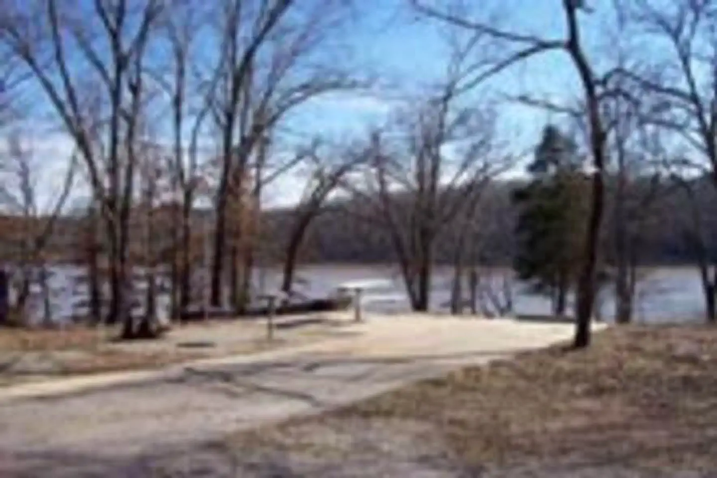
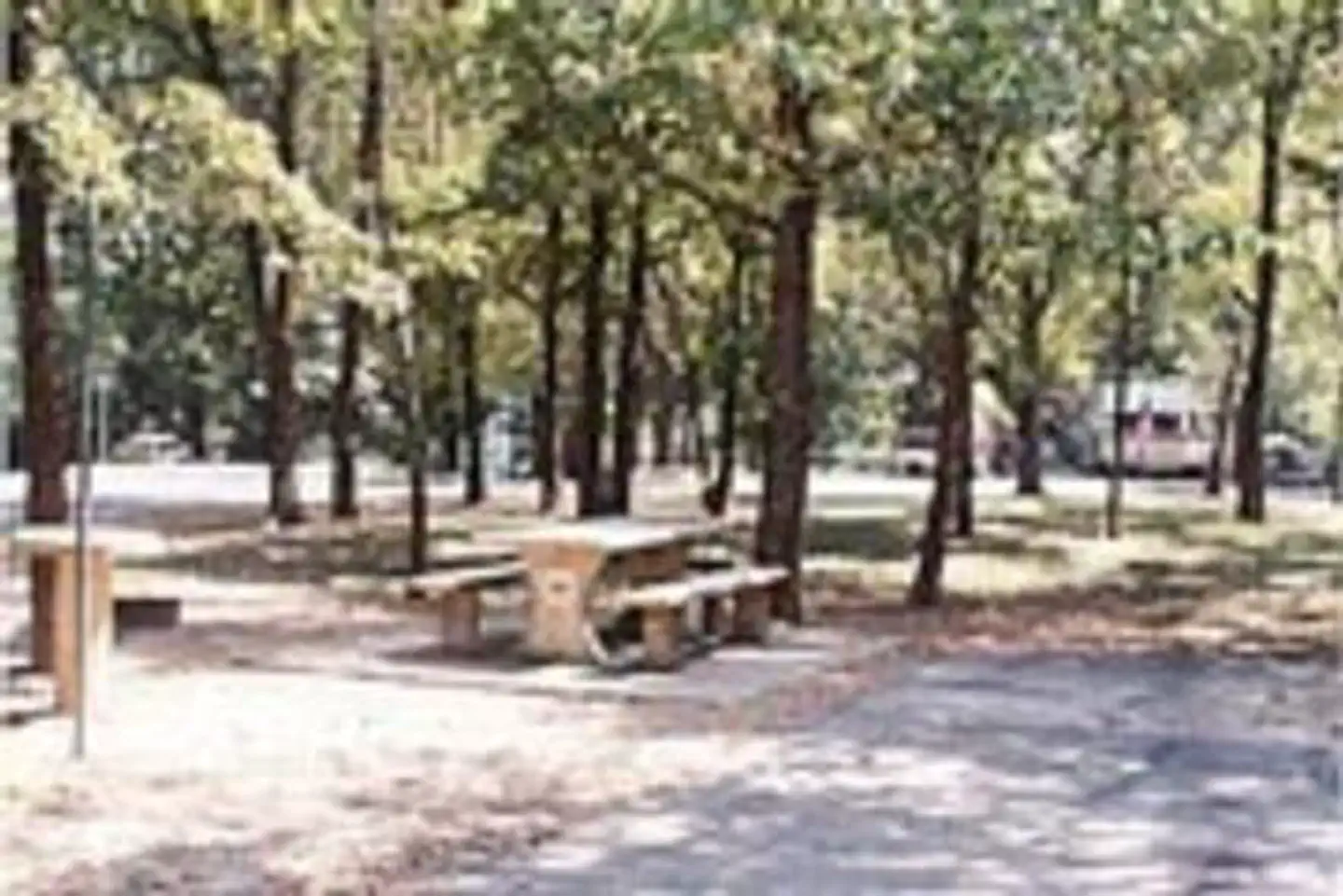
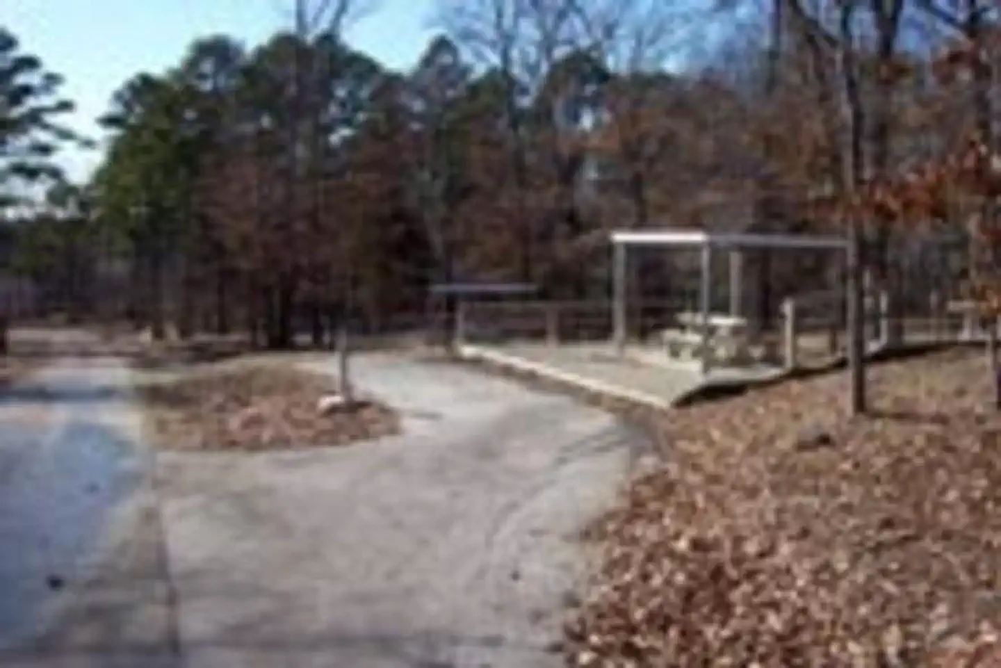
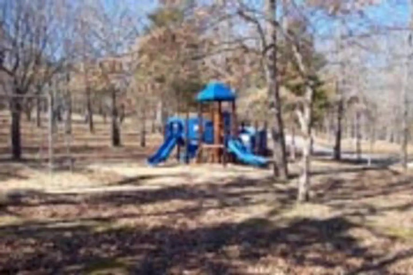
Overview Gamaliel Campground is conveniently located on the Bennetts Bayou area of Norfork Lake. Most sites are shaded beneath tall trees, while others come equipped with canopies to shade the picnic tables. Norfork Lake boasts plenty of secluded coves for water sports and breezy, open stretches for sailing. There are 19 well-maintained Army Corps of Engineers parks along the lake for bountiful water sport opportunities. Recreation Explore the mile-long nature trail that loops from the campground. Sailing the open waters makes for an exciting water activity. Scuba diving in the lake is common, attracting divers from neighboring U.S. states. For visitors interested in fishing, Norfork Lake is stocked annually, and it's not unheard of to catch striped bass over 40 pounds. Facilities The 64 campsites have electric hookups and drinking water. A boat ramp, playground, swim beach and marina are also on-site. Most campsites do not have a view of the lake.Natural Features Norfork Lake stems from the North Fork River in northern Arkansas. It's about 25 miles east of Bull Shoals lake, and cuts through the Ozark Mountains. The Ozarks are made from a heavily eroded plateau, shaped and carved by hundreds of streams over thousands of years. The region attracts a wide array of plants and animals. Nearby Attractions Head south to see the Ozark National Forest and head west to see Bull Shoals Lake, a similar man-made lake that's larger in size and equally entertaining as Norfork. Charges & Cancellations Cancellations up to 2 days before a reservation start date incur a $10.00 cancellation fee.
Photos
How to Get There
From Mountain Home, AR, travel 9 miles east on US 412/62, then 5 miles north on SR 101, then 3 miles southeast on CR 42. Follow signs into campground.
Driving directions (Google Maps) →What to Pack for Your Stay
Tuned to the live forecast for this park.
👔 What to Wear
- 👕
Long-sleeve shirt
Synthetic or merino, sun-protective.
- 🧥
Light shell or windbreaker
Even on warm days, wind can chill (avg wind 0 mph).
- 👖
Hiking pants or convertible
Layer for variable conditions.
- 🥾
Trail runners or low boots
Comfortable, broken in.
🎒 What to Pack
- 💧
Water
Bring at least 1L of water; more in heat.
- 🍫
High-energy snacks
A snack for the trail.
- 🧴
Sun protection
Sunscreen, sunglasses, brimmed hat.
- 🩹
First-aid kit
Blister patches, ibuprofen, tape, antiseptic wipes.
- 🗺
Offline map
Download your route in advance via Gaia, Caltopo, or OSM-based apps.
Recommendations adapt to the current forecast + trail stats. Use them as a starting point — local conditions, your experience, and the time of day you start all matter.
Plan Your Visit to GAMALIEL
Heading to GAMALIEL? A few things to know before you go:
- Reservations: popular sites fill up fast — check Recreation.gov 6 months in advance
- Fees: day-use and camping fees vary; check current rates on the official park page
- Trash & pack-out: follow Leave No Trace principles
- Wildlife: store food in bear boxes where provided; never feed wildlife
- Weather: the 5-day forecast above is updated every 6 hours; verify just before you go
Frequently Asked Questions
Do I need a reservation for GAMALIEL?
No central reservation system listed for GAMALIEL. Check the official page (https://www.recreation.gov/camping/campgrounds/232591) for the latest entry policy and availability.
How do I get to GAMALIEL?
From Mountain Home, AR, travel 9 miles east on US 412/62, then 5 miles north on SR 101, then 3 miles southeast on CR 42. Follow signs into campground.
How do I contact GAMALIEL?
You can reach the park at phone: 870-467-5680.
References & Official Resources