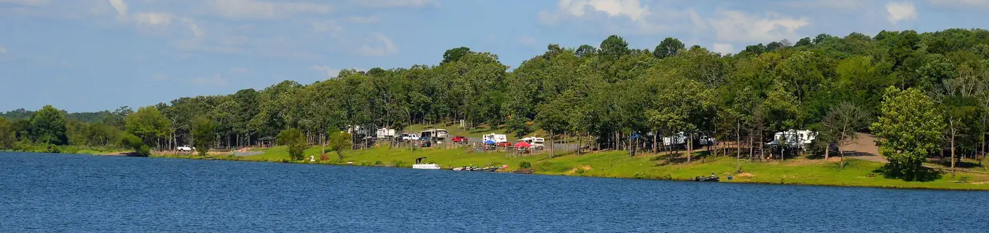
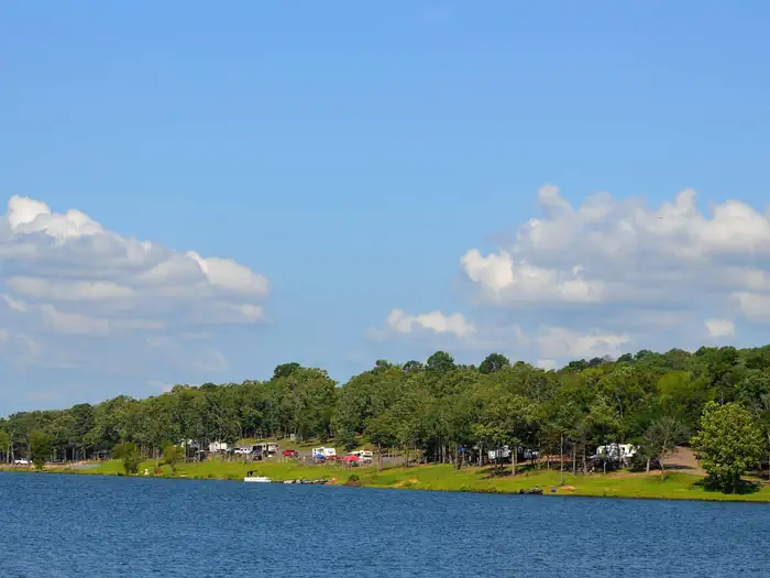
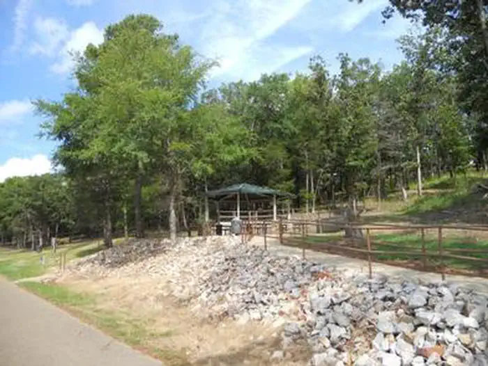
Overview Bellah Mine Campground sits along the shores of DeQueen Lake in southwest Arkansas. Recreation Boating and water sports top the list of recreational activities at the lake, and several boat ramps are provided for campers. Fishing is also a popular pastime, with large mouth bass, small mouth bass, spotted pass,…
Overview Bellah Mine Campground sits along the shores of DeQueen Lake in southwest Arkansas. Recreation Boating and water sports top the list of recreational activities at the lake, and several boat ramps are provided for campers. Fishing is also a popular pastime, with large mouth bass, small mouth bass, spotted pass, black and white crappie, channel and flathead catfish and various species of sunfish available in abundance. The lake also has a WMA to allow hunting on the lands around the lake. Except for developed recreation areas and lands in the vicinity of the dam. Game species include bobwhite quail, mourning dove, turkey, fox squirrel, gray squirrel, cottontail rabbit and deer. De Queen Lake does have a designated hiking trail in Pine Ridge Park that is open to the public and hiking/biking activities are welcomed.Facilities Bellah Mine Campground offers 24 spacious campsites, along with one large reservable group picnic shelter. Campsites include modern amenities like flush toilets, showers and drinking water. Natural Features DeQueen Lake is part of a dam project located on the Rolling Fork River. The dam, completed in 1977, was built for flood control and water supply, and now provides a recreational oasis for thousands of campers each year. The lake boasts 32 miles of shoreline to its visitors, along with 8,700 acres of rolling green landscape. Nearby Attractions The nearby town of DeQueen, Arkansas, offers gas, grocery and medical services.
Photos
De Queen Lake Bellah Mine Park — USACE De Queen LakeBELLAH MINE
How to Get There
From DeQueen, AR, take Highway 71 north for 7 miles. Turn west onto Bellah Mine Road and continue for 5 miles, following signs into the campground.
Download your route in advance via Gaia, Caltopo, or OSM-based apps.
Recommendations adapt to the current forecast + trail stats. Use them as a starting point — local conditions, your experience, and the time of day you start all matter.
Plan Your Visit to BELLAH MINE
Heading to BELLAH MINE? A few things to know before you go:
Reservations: popular sites fill up fast — check Recreation.gov 6 months in advance
Fees: day-use and camping fees vary; check current rates on the official park page
Trash & pack-out: follow Leave No Trace principles
Wildlife: store food in bear boxes where provided; never feed wildlife
Weather: the 5-day forecast above is updated every 6 hours; verify just before you go
Frequently Asked Questions
Do I need a reservation for BELLAH MINE?
No central reservation system listed for BELLAH MINE. Check the official page (https://www.recreation.gov/camping/campgrounds/232522) for the latest entry policy and availability.
How do I get to BELLAH MINE?
From DeQueen, AR, take Highway 71 north for 7 miles. Turn west onto Bellah Mine Road and continue for 5 miles, following signs into the campground.