University, Arkansas · Lafayette County · Campground
Overview Clear Creek is nestled in the forests surrounding Sardis Lake. It is conveniently located within 15 minutes of Oxford, MS. Clear Creek offers access to camping, mountain biking, boating, and picnicking at Sardis Lake. Recreation Sardis Lake offers an array of recreational activities, including fishing, boating…
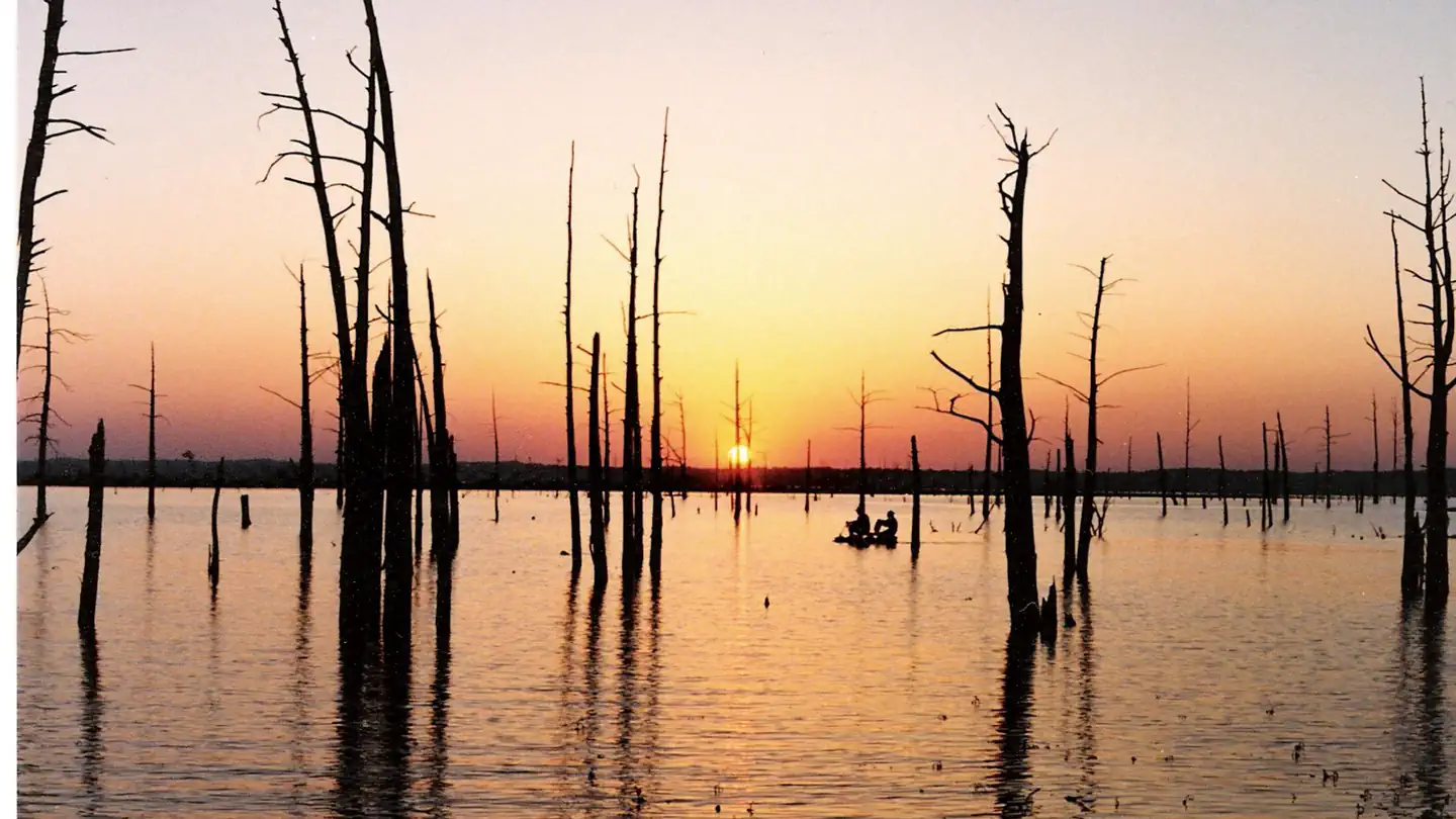
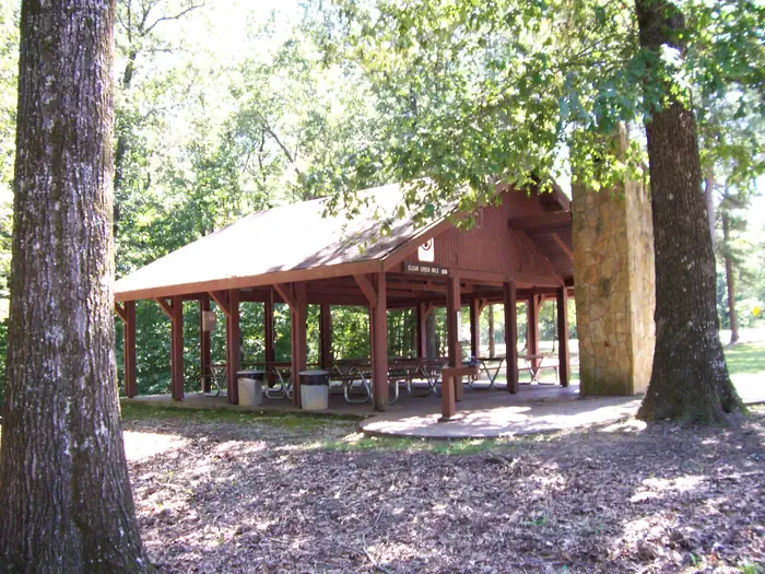
Overview Clear Creek is nestled in the forests surrounding Sardis Lake. It is conveniently located within 15 minutes of Oxford, MS. Clear Creek offers access to camping, mountain biking, boating, and picnicking at Sardis Lake. Recreation Sardis Lake offers an array of recreational activities, including fishing, boating, water skiing and swimming. Clear Creek offers opportunities for camping, hunting, picnicking, boating, fishing, and mountain biking. Facilities Clear Creek has multiple picnic sites, two group picnic shelters, a boat launch, a 13-mile mountain bike trail, and a campground with 19 resrevable sites. Natural Features Sardis Lake covers over 98,000 acres in the rolling hills of northwest Mississippi. The man-made lake sits on the Tallahatchie River at an approximate elevation of 400 feet. Clear Creek is forested with pine and hardwood forests. Nearby Attractions Clear Creek is approximately 15 minutes driving distance to Oxford, MS. The bustling college town is home to the University of Mississippi and offers multiple unique dining and shopping opportunities.
Photos
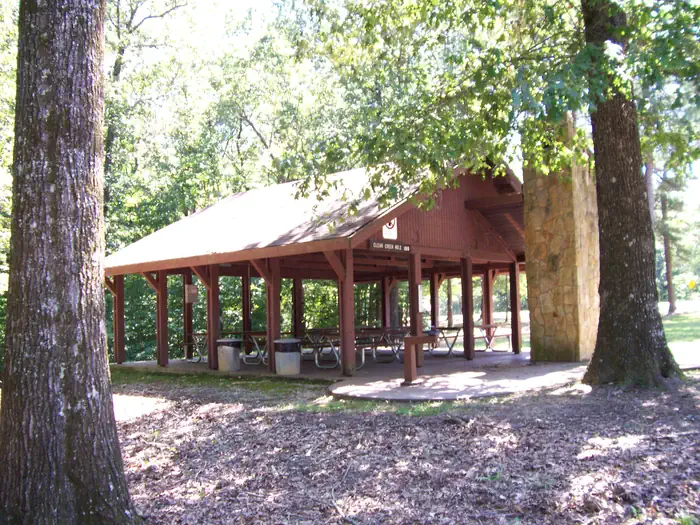
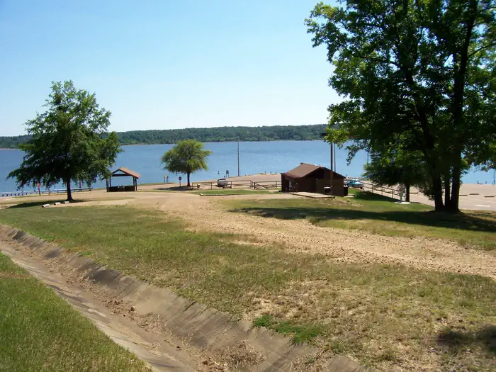
Clear Creek Mountain Bike Trail — Oxford CyclingClear Creek Pavilion #2 — Sardis Lake RangersClear Creek Boat Ramp — Sardis Lake RangersClear Creek Pavilion — Sardis Lake Rangers
How to Get There
From Oxford, MS take Hwy. 314 (Old Sardis Road) approximately 8 miles until you see the Clear Creek Recreation Entrance sign. The day use area is about 1 mile past the sign.
Download your route in advance via Gaia, Caltopo, or OSM-based apps.
Recommendations adapt to the current forecast + trail stats. Use them as a starting point — local conditions, your experience, and the time of day you start all matter.
Plan Your Visit to Clear Creek Day Use Area (MS)
Heading to Clear Creek Day Use Area (MS)? A few things to know before you go:
Reservations: popular sites fill up fast — check Recreation.gov 6 months in advance
Fees: day-use and camping fees vary; check current rates on the official park page
Trash & pack-out: follow Leave No Trace principles
Wildlife: store food in bear boxes where provided; never feed wildlife
Weather: the 5-day forecast above is updated every 6 hours; verify just before you go
Frequently Asked Questions
Do I need a reservation for Clear Creek Day Use Area (MS)?
No central reservation system listed for Clear Creek Day Use Area (MS). Check the official page (https://www.recreation.gov/camping/campgrounds/10120780) for the latest entry policy and availability.
How many campsites are at Clear Creek Day Use Area (MS)?
Clear Creek Day Use Area (MS) has 2 campsites. Site amenities (hookups, vehicle limits, ADA access) vary — see the individual campsite pages for details.
How do I get to Clear Creek Day Use Area (MS)?
From Oxford, MS take Hwy. 314 (Old Sardis Road) approximately 8 miles until you see the Clear Creek Recreation Entrance sign. The day use area is about 1 mile past the sign.
How do I contact Clear Creek Day Use Area (MS)?
You can reach the park at phone: 662-563-4531 or email: [email protected].