Overview McCurdy Point Recreation Area is located on the north end of Enid Dam. Amenities include a comfort stations, a group picnic shelter, 3 single cover picnic sites, boat ramp, courtesy boat dock/pier, fish cleaning station and six individual picnic sites. This area is popular among visitors who enjoy boating and …
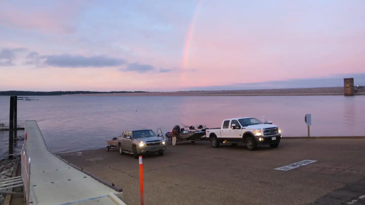
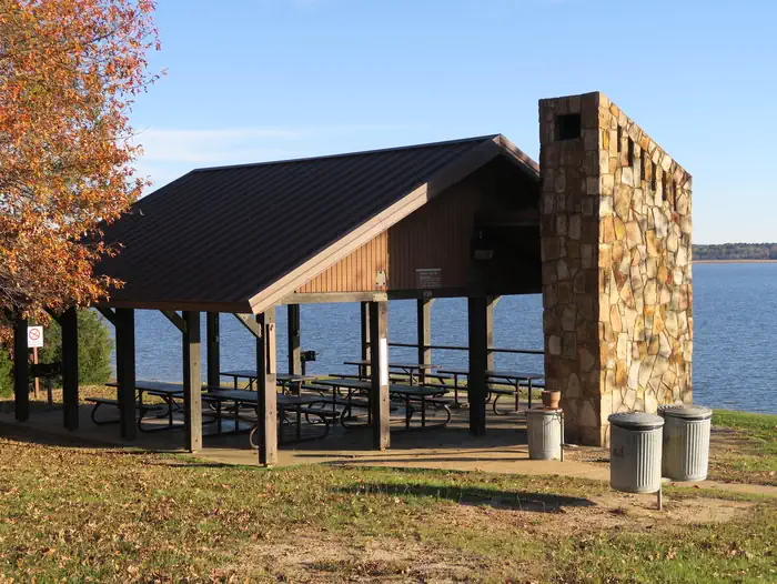
Overview McCurdy Point Recreation Area is located on the north end of Enid Dam. Amenities include a comfort stations, a group picnic shelter, 3 single cover picnic sites, boat ramp, courtesy boat dock/pier, fish cleaning station and six individual picnic sites. This area is popular among visitors who enjoy boating and fishing. It offers a view of the lake. This ramp is usable for boating enthusiasts year around. Recreation McCurdy Point offers a comfort stations with flush toilets, 6 individual picnic sites, 3 single cover picnic sites, boat ramp, bank fishing and accessible dock/pier. This area is popular among fishermen and visitors wanting to enjoy a day at the lake fishing, picnicking, and boating. Facilities The day uses offers 6 individual picnic sites that includes a grill, a serve table and picnic table. A assessable comfort stations with flush toilets are located in this area. Other amenities includes three single cover picnic site, boat ramp, fish cleaning station, courtesy boat dock/pier and bank fishing. Nearby day use areas offers volleyball court, softball field, soccer field/football field, horseshoe pits, picnic shelters, 1/2 mile fitness trail, fitness exercise area, playgrounds, handicap fishing pier, bank fishing, boat ramps,life jacket loaner boards, beaches, amphitheaters and a view of the lake. Natural Features Pavilions, picnic sites, and other amenities are nestled among towering native pine and oak trees. The surrounding woods provide habitat for squirrels, raccoons, chipmunks, deer, butterflies, geese and variety of birds. This day use area is off Interstate I55 and easily assessable to visitors and fishermen. It a perfect location for a day at the lake for picnicking, boating, fishing and spending a day to relax. Contact Info For facility specific information, please call (662) 563-4571. Nearby Attractions The nearby towns of Water Valley and Batesville, Mississippi offers shopping, hotels, restaurants and emergency care facilities if need
Photos
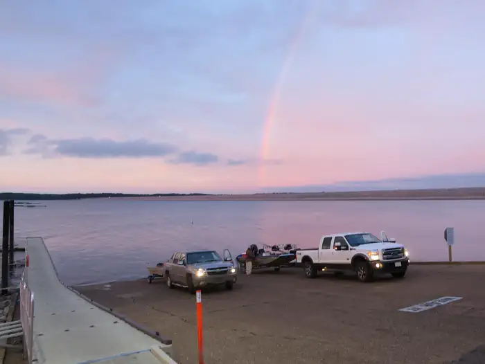
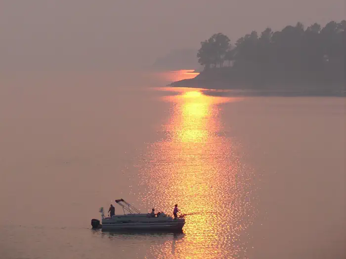
McCurdy Point — USACEMcCurdy Point — USACE620 — USACE
How to Get There
Take exit 233 off of Interstate 55 toward Enid Lake. Go east on County Road 36 for .8 miles. Take a left on to County Road 38 for .4 miles. Take a right onto County Road 189 and you have arrived at the destination.
Download your route in advance via Gaia, Caltopo, or OSM-based apps.
🛍
Dry bags for electronics
Phone, camera, and snacks should stay dry.
Recommendations adapt to the current forecast + trail stats. Use them as a starting point — local conditions, your experience, and the time of day you start all matter.
Plan Your Visit to McCurdy Point
Heading to McCurdy Point? A few things to know before you go:
Reservations: popular sites fill up fast — check Recreation.gov 6 months in advance
Fees: day-use and camping fees vary; check current rates on the official park page
Trash & pack-out: follow Leave No Trace principles
Wildlife: store food in bear boxes where provided; never feed wildlife
Weather: the 5-day forecast above is updated every 6 hours; verify just before you go
Frequently Asked Questions
Do I need a reservation for McCurdy Point?
No central reservation system listed for McCurdy Point. Check the official page (https://www.recreation.gov/camping/campgrounds/10099484) for the latest entry policy and availability.
How many campsites are at McCurdy Point?
McCurdy Point has 1 campsites. Site amenities (hookups, vehicle limits, ADA access) vary — see the individual campsite pages for details.
How do I get to McCurdy Point?
Take exit 233 off of Interstate 55 toward Enid Lake. Go east on County Road 36 for .8 miles. Take a left on to County Road 38 for .4 miles. Take a right onto County Road 189 and you have arrived at the destination.