Overview Pat’s Bluff is a 15 site campground located on the southern shoreline of Sardis Lake. Conveniently located near I-55, Sardis Lake consistently ranks as one of the top crappie fishing location in the country. The 32,000 reservoir is also a great fishery for bass and catfish and offers many other outdoor activit…
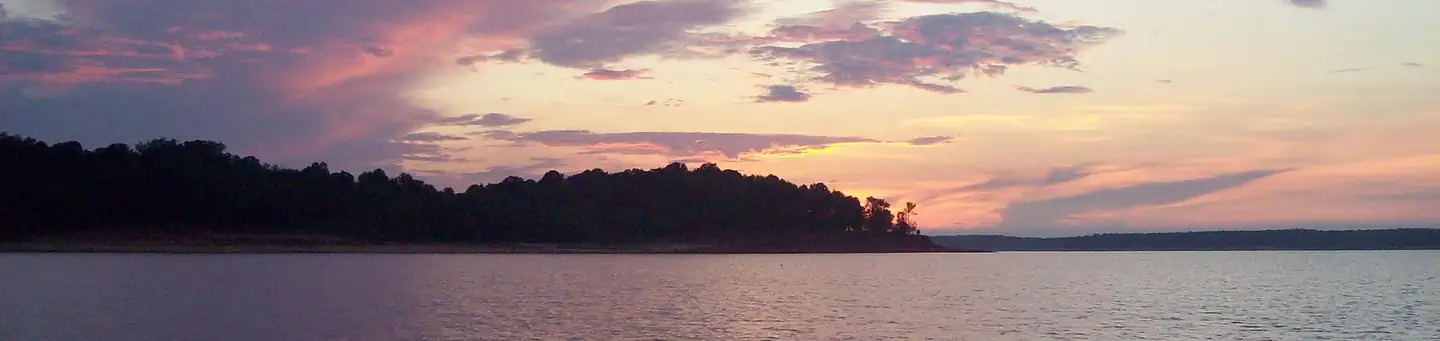
Overview Pat’s Bluff is a 15 site campground located on the southern shoreline of Sardis Lake. Conveniently located near I-55, Sardis Lake consistently ranks as one of the top crappie fishing location in the country. The 32,000 reservoir is also a great fishery for bass and catfish and offers many other outdoor activities as well. Recreation Sardis Lake offers an array of recreational activities, including fishing, boating, water skiing, hiking, camping, picnicking and many others. Pat’s Bluff Recreation Area includes a boat ramp, picnic shelter, and campground available to visitors. Facilities Pat’s Bluff has 15 campsites with water and electric hookups. Flush toilets, showers, and a dump station are available in the campground. The area also offers a group picnic shelter and a boat ramp. Natural Features Sardis Lake’s total area covers 98,000 acres in the rolling hills of North Mississippi. As part of Sardis Lake, Pat’s Bluff is appropriately named because of the sandstone bluff that prominent on the shoreline of Sardis Lake. The Pat’s Bluff Recreation Area is covered in a mixture of hardwood and pine forests that open up for great views of Sardis Lake. Nearby Attractions Pat’s Bluff campground is located off of MS Highway 278. It is a 20 minute drive to the university town of Oxford, MS (Home of Ole Miss) and a 10 minute drive to Batesville, MS. The towns of Sardis and Como are also nearby.
Photos
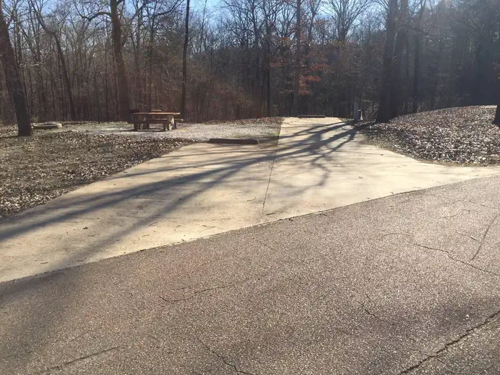
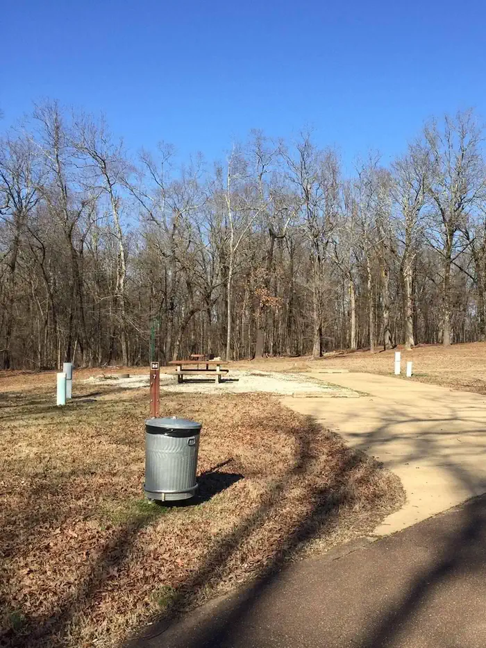
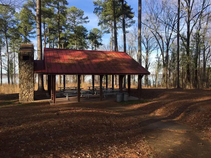
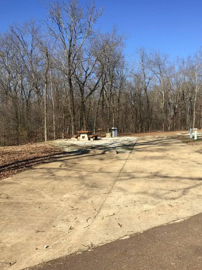
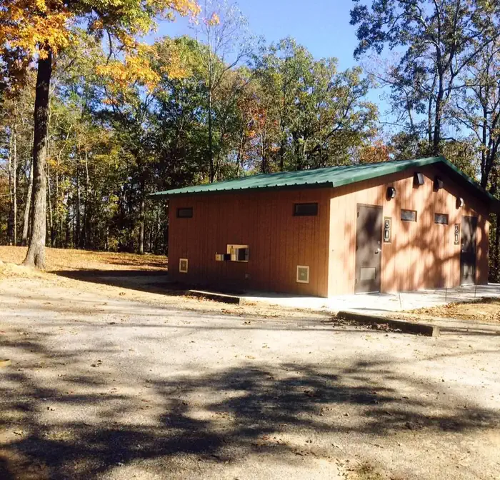
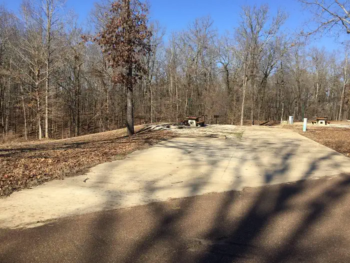
Campsite 1- on the left on the upper end of the campground — Chris GurnerPat's Bluff Campsite 7 — Chris GurnerPavilion located in the day use area of Pat's Bluff — Chris GurnerCampsite 6 on the left in Pat's Bluff Campground — Chris GurnerCampground restroom with drinking fountain, flush toilets and showers — Chris GurnerSite 4 on the left at Pat's Bluff — Chris GurnerSardis Lake Entrance Sign — Chris Gurner
How to Get There
From Interstate 55 take the Hwy. 278 east exit at Batesville, MS. Follow the road approximately 10 miles and take a left onto BlackJack Road. Follow Blackjack Road approximately 3/4 of a mile and turn right onto Sardis Lake Drive. Follow Sardis Lake Drive for approximately 6 miles and the road dead ends straight at Pat's Bluff Recreation Area. Follow the road straight to get to the campground.
Download your route in advance via Gaia, Caltopo, or OSM-based apps.
🛍
Dry bags for electronics
Phone, camera, and snacks should stay dry.
Recommendations adapt to the current forecast + trail stats. Use them as a starting point — local conditions, your experience, and the time of day you start all matter.
Plan Your Visit to Pat's Bluff
Heading to Pat's Bluff? A few things to know before you go:
Reservations: popular sites fill up fast — check Recreation.gov 6 months in advance
Fees: day-use and camping fees vary; check current rates on the official park page
Trash & pack-out: follow Leave No Trace principles
Wildlife: store food in bear boxes where provided; never feed wildlife
Weather: the 5-day forecast above is updated every 6 hours; verify just before you go
Frequently Asked Questions
Do I need a reservation for Pat's Bluff?
No central reservation system listed for Pat's Bluff. Check the official page (https://www.recreation.gov/camping/campgrounds/10046288) for the latest entry policy and availability.
How many campsites are at Pat's Bluff?
Pat's Bluff has 16 campsites. Site amenities (hookups, vehicle limits, ADA access) vary — see the individual campsite pages for details.
How do I get to Pat's Bluff?
From Interstate 55 take the Hwy. 278 east exit at Batesville, MS. Follow the road approximately 10 miles and take a left onto BlackJack Road. Follow Blackjack Road approximately 3/4 of a mile and turn right onto Sardis Lake Drive. Follow Sardis Lake Drive for approximately 6 miles and the road dead ends straight at Pat's Bluff Recreation Area. Follow the road straight to get to the campground.
How do I contact Pat's Bluff?
You can reach the park at phone: 662-563-4531 or email: [email protected].