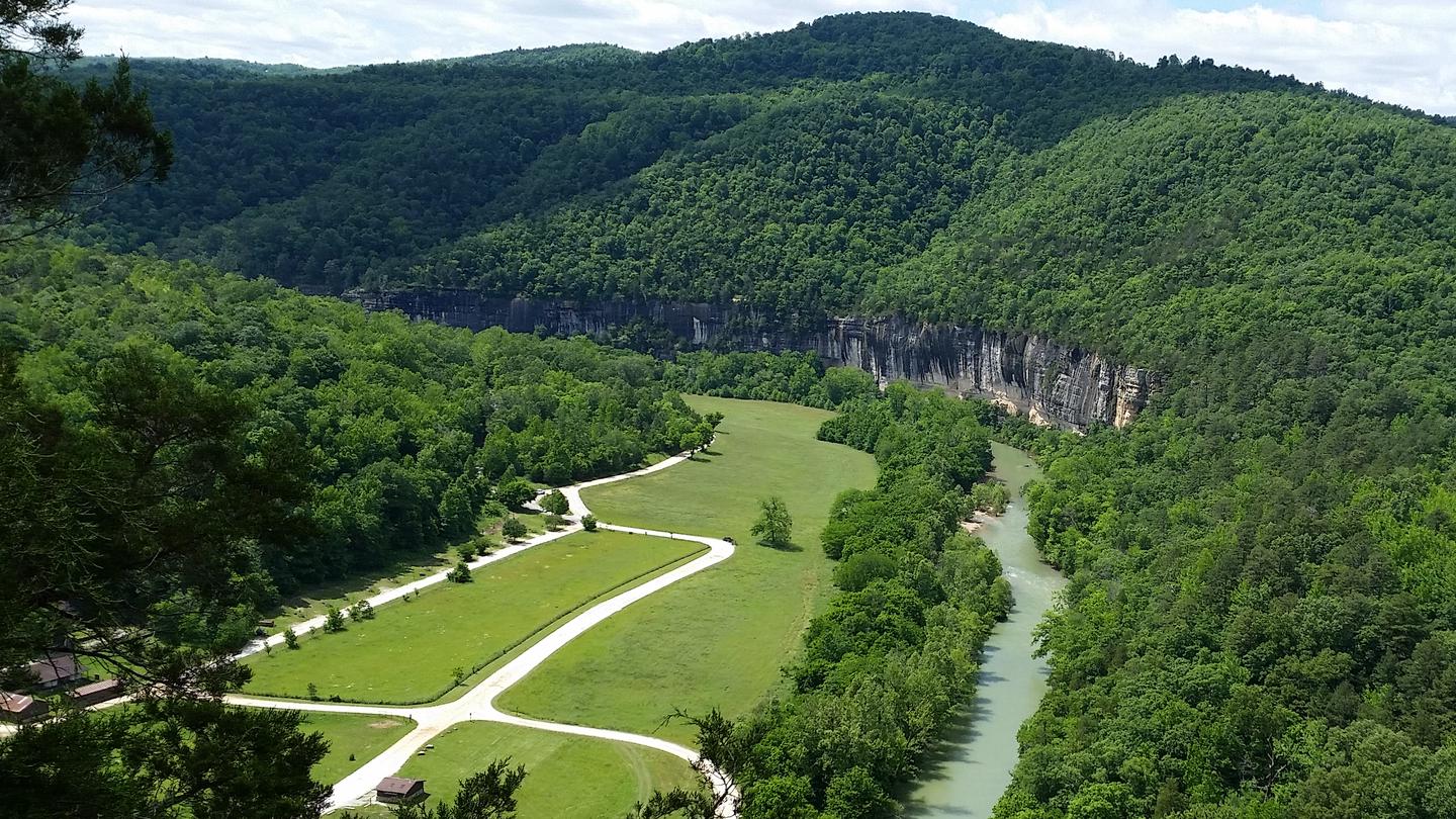
Overview Steel Creek Campground is situated along the Buffalo River under the towering and picturesque Roark Bluff. One section of the campground offers 26 walk-in tent sites and another section of the campground offers 13 sites for those camping with horses. All sites are available by reservation only. Steel Creek is …
Overview Steel Creek Campground is situated along the Buffalo River under the towering and picturesque Roark Bluff. One section of the campground offers 26 walk-in tent sites and another section of the campground offers 13 sites for those camping with horses. All sites are available by reservation only. Steel Creek is located about 3 miles (5 km) east of Ponca, just off Highway 74.Recreation Paddling conditions in the upper (westernmost) district of Buffalo National River are extremely dependent upon rainfall. On an average year, the upper river is only navigable by boat in the spring and early summer when consistent rainfall feeds into the watershed. Some sections on the upper end of the river are technical and should not be attempted by novices. For current paddling conditions, please check with an outfitter (visit our Guided Services web page ), call the Tyler Bend Visitor Center at 870-439-2502, or check the Buffalo National River Float Guide DashboardFacilities Steel Creek has 26 tent only sites and 13 sites for campers with horses/stock animals (six people and four stock animals allowed per site). All sites are available by reservations only. There are no electrical amenities or water hookups, but flush restrooms and water spigots are available from approximately March 15 through November 15 each year.Natural Features The Buffalo National River flows free over swift running rapids and quiet pools for its 135-mile (217 km) length. One of the few remaining rivers in the lower 48 states without dams, the Buffalo cuts its way through massive limestone bluffs traveling eastward through the Arkansas Ozarks and into the White River. Contact Info For facility specific information, please call (870) 439-2502. Nearby Attractions The Buffalo River Trail runs through Steel Creek and offers great day hiking or overnight backcountry opportunities. Boxley Valley is nearby and is home to Lost Valley, an easy to moderate trail that leads hikers past geologic and water formatio
Photos
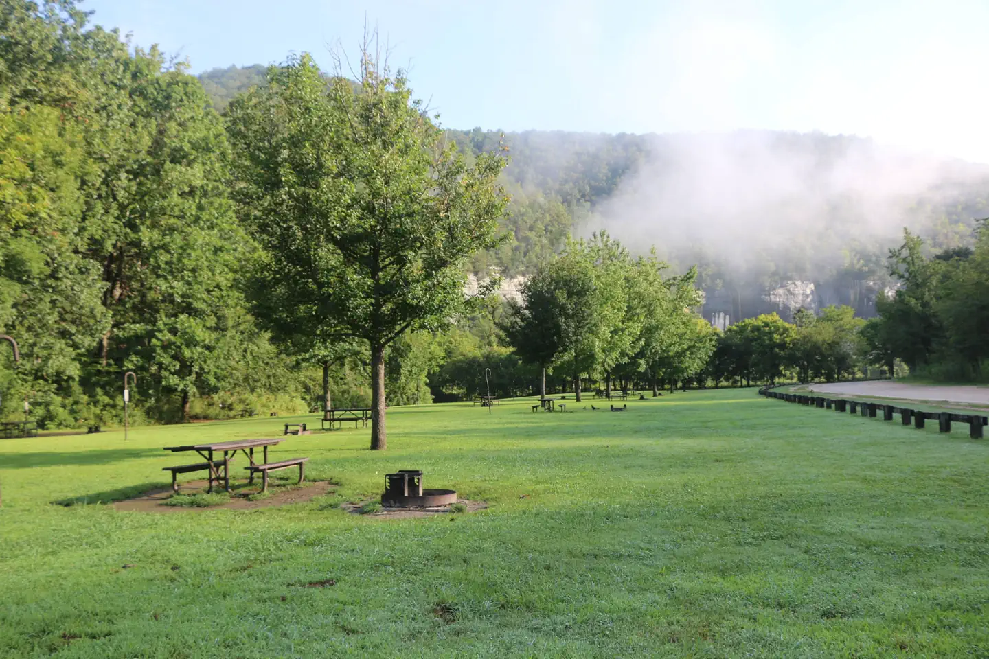
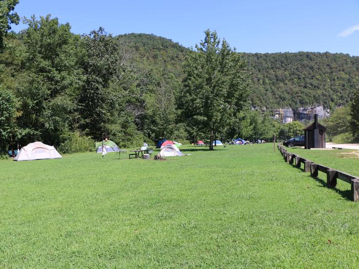
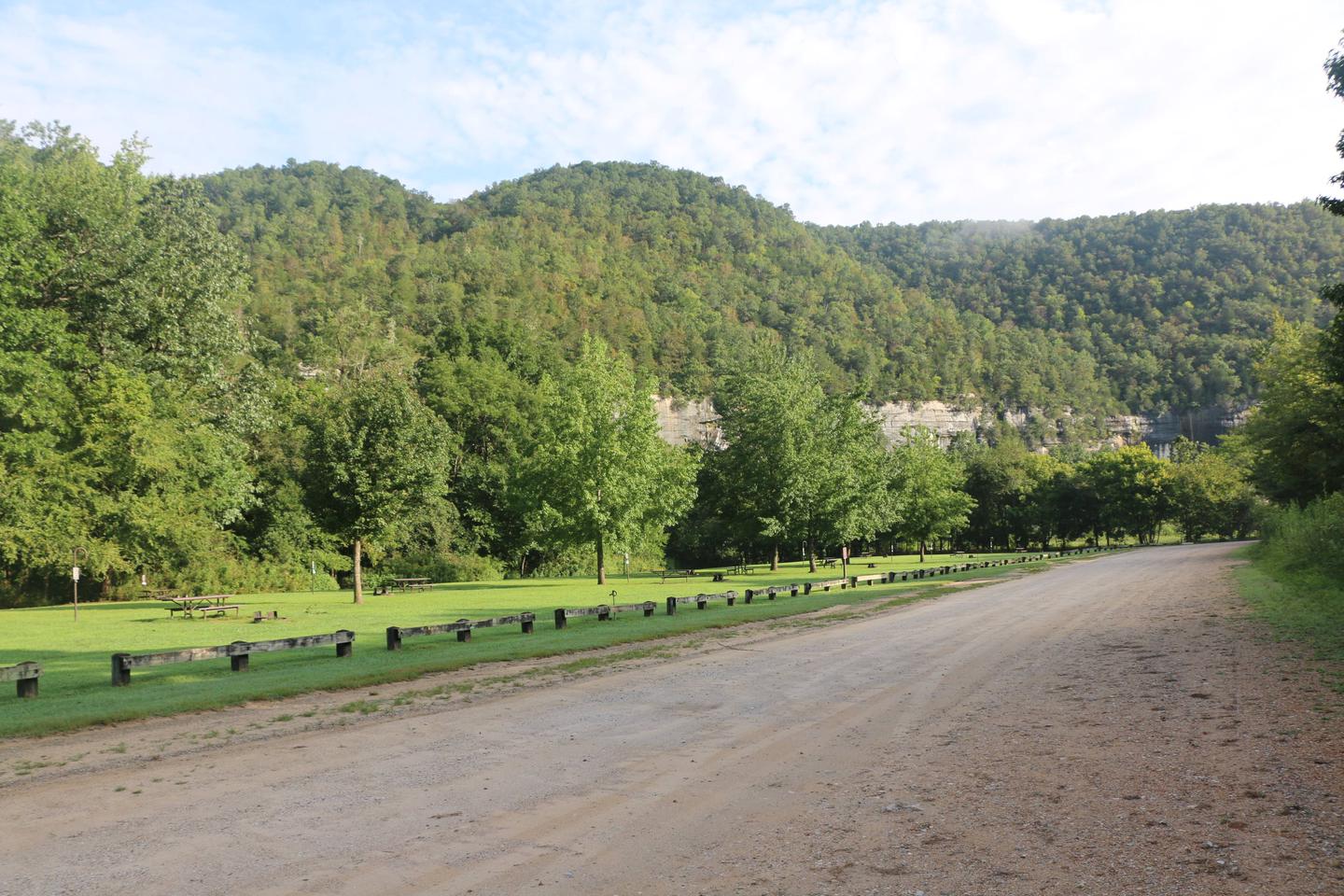
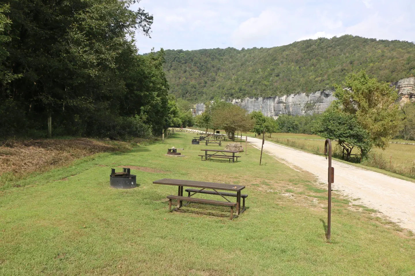
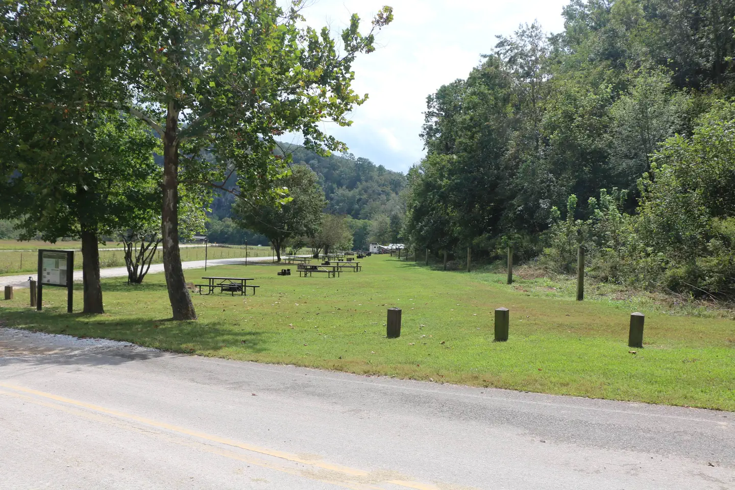
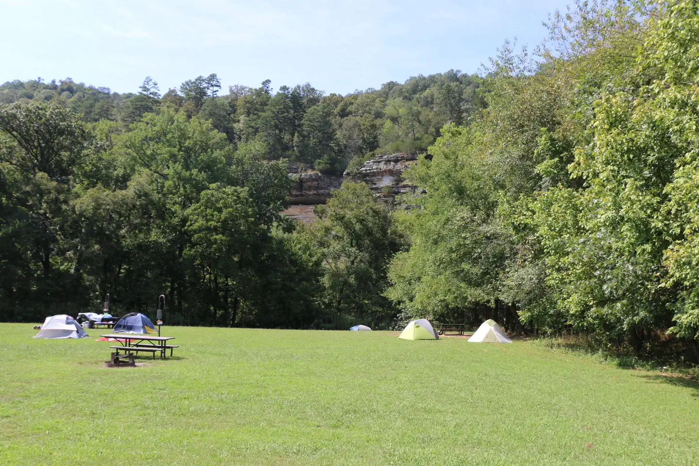
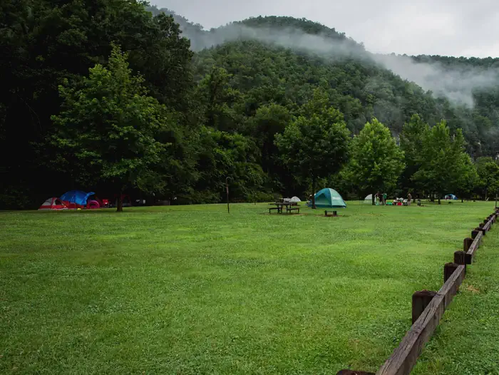
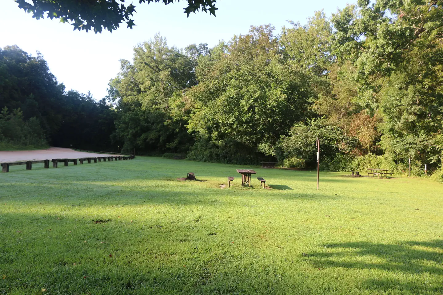
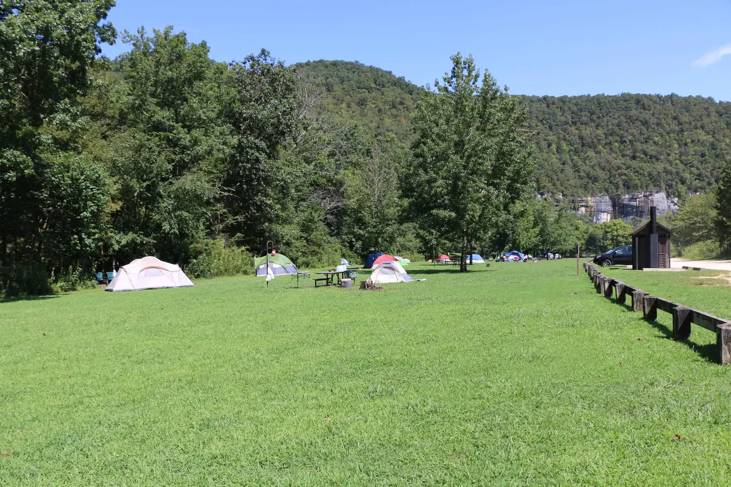
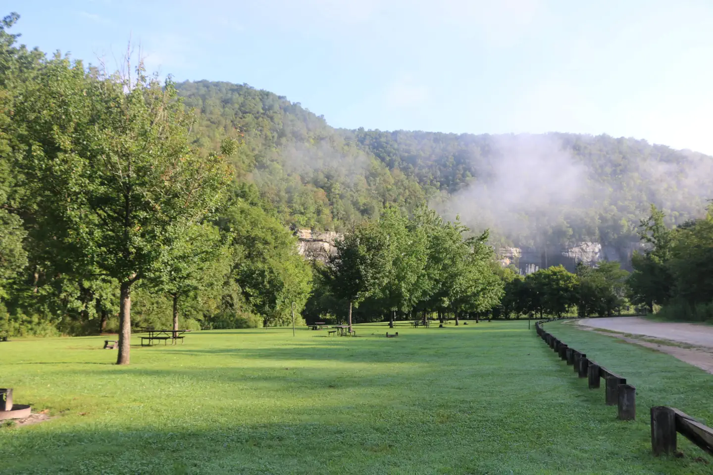
Steel Creek Campground-4 — NPSColorful tents seen on the green grass of Steel Creek Campground. Green trees and a gray bluff line can be seen in the background. — NPSA dirt road can be seen on the right side of the photo with green grass and campsites on the left side. — NPSSteel Creek Horse Camp-1 — NPSSteel Creek Horse Camp-2 — NPSSteel Creek Campground-7 — NPSMain walk-in camping area at Steel Creek Campground. — NPS Photo/T. FondriestSteel Creek Campground-3 — NPSSteel Creek Campground-5 — NPSSteel Creek Campground-2 — NPSSteel Creek Campground-9 — NPS
How to Get There
From Fayetteville, Arkansas drive north and take US Highway 412 East for approximately 42 miles (67.5 km) to the intersection with State Highway 21. Take highway 21 South for approximately 17 miles (27 km) to the intersection of State Highway 43. Here, take highway 43 East for about 5 miles (8 km) to the intersection of State Highway 74. Here, turn right onto highway 74 and drive about 2 miles (3.2 km) to Steel Creek Road. Turn left and drive approximately .5 miles (.8 km) down into the campground. At the bottom of the hill the main campground will be to your left and the horse camp will be to your right. From Little Rock, Arkansas take Interstate 40 West for approximately 93 miles (150 km) to Exit 64. At Exit 64 take Business Highway 64 west through the town of Lamar for about 4 miles (6.5 km) to the intersection of State Highway 21. Take Highway North for about 48 miles (77 km) to the intersection of State Highway 43. Here, take highway 43 East for about 5 miles (8 km) to the intersection of State Highway 74. Here, turn right onto highway 74 and drive about 2 miles (3.2 km) to Steel Creek Road. Turn left and drive approximately .5 miles (.8 km) down into the campground. At the bottom of the hill the main campground will be your left and the horse camp will be on your right. From Springfield, Missouri take US Highway 65 South for approximately 70 miles (112.6 km) to the town of Harrison. In Harrison, take State Highway 7 South about 1 mile (1.6 km) through downtown Harrison
Download your route in advance via Gaia, Caltopo, or OSM-based apps.
🛍
Dry bags for electronics
Phone, camera, and snacks should stay dry.
Recommendations adapt to the current forecast + trail stats. Use them as a starting point — local conditions, your experience, and the time of day you start all matter.
Plan Your Visit to Steel Creek Campground
Heading to Steel Creek Campground? A few things to know before you go:
Reservations: popular sites fill up fast — check Recreation.gov 6 months in advance
Fees: day-use and camping fees vary; check current rates on the official park page
Trash & pack-out: follow Leave No Trace principles
Wildlife: store food in bear boxes where provided; never feed wildlife
Weather: the 5-day forecast above is updated every 6 hours; verify just before you go
Frequently Asked Questions
Do I need a reservation for Steel Creek Campground?
No central reservation system listed for Steel Creek Campground. Check the official page (https://www.recreation.gov/camping/campgrounds/10001451) for the latest entry policy and availability.
How many campsites are at Steel Creek Campground?
Steel Creek Campground has 40 campsites. Site amenities (hookups, vehicle limits, ADA access) vary — see the individual campsite pages for details.
How do I get to Steel Creek Campground?
From Fayetteville, Arkansas drive north and take US Highway 412 East for approximately 42 miles (67.5 km) to the intersection with State Highway 21. Take highway 21 South for approximately 17 miles (27 km) to the intersection of State Highway 43. Here, take highway 43 East for about 5 miles (8 km) to the intersection of State Highway 74. Here, turn right onto highway 74 and drive about 2 miles (3.…
How do I contact Steel Creek Campground?
You can reach the park at phone: 870-861-2570 or email: [email protected].