Overview Arlie Moore Campground and Day Use Area sits on the northern banks of DeGray Lake in the foothills of the Quachita Mountains. Hikers find Arlie Moore particularly inviting. In past years, the National Recreation Reservation Service selected the Arlie Moore Interpretive Trail as one of America's Top 25 Hiking T…
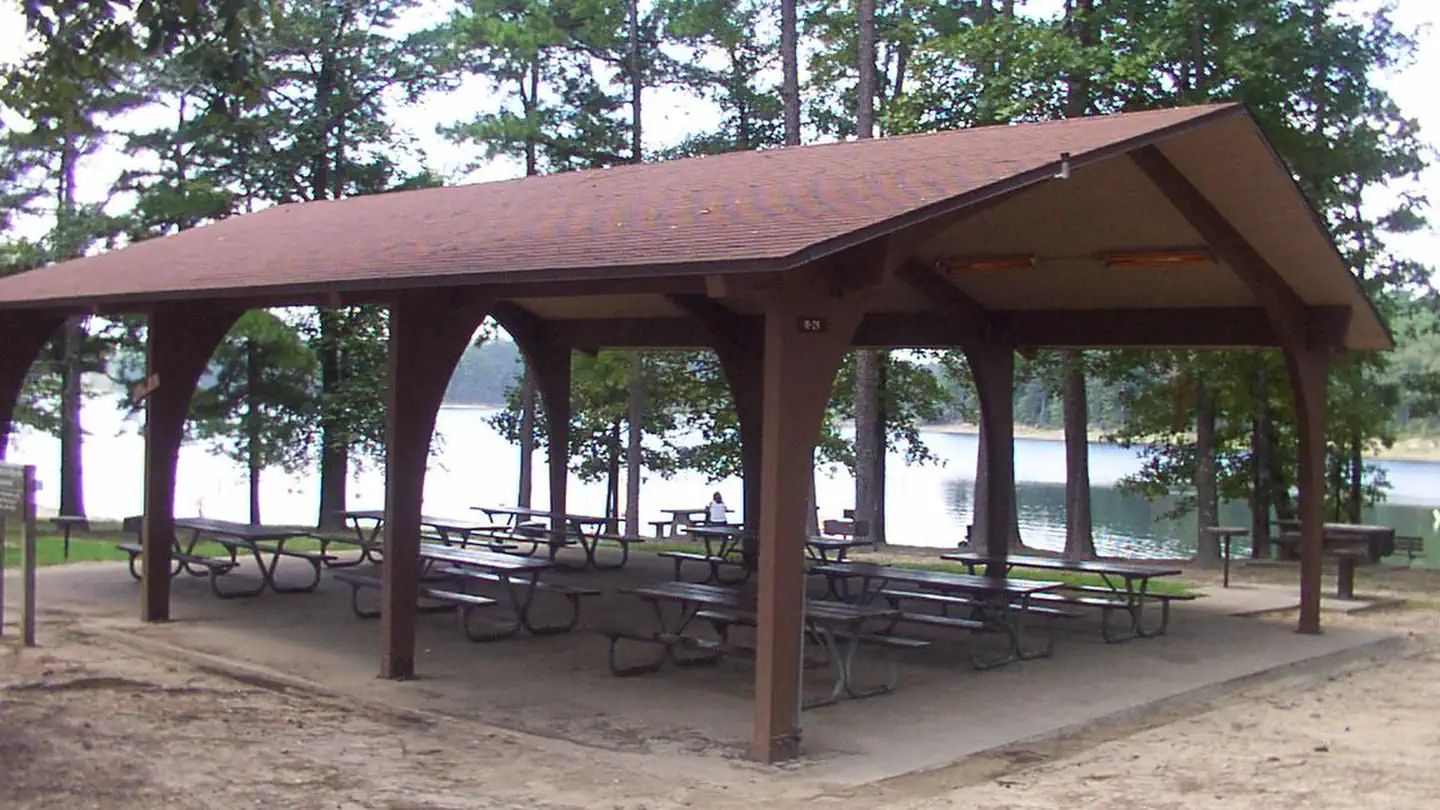
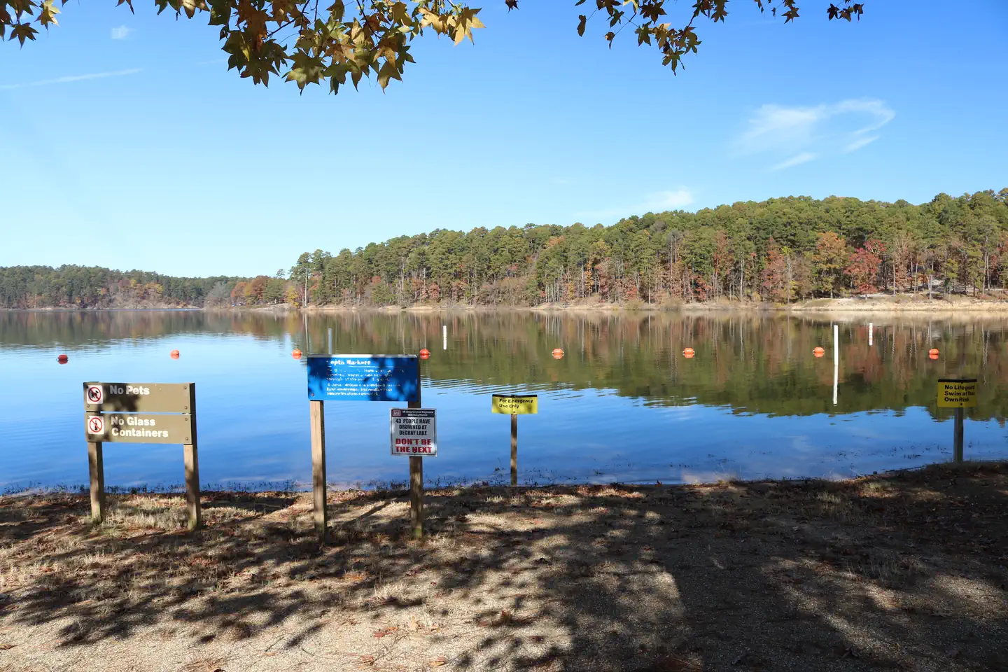
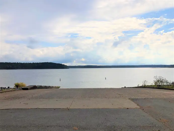
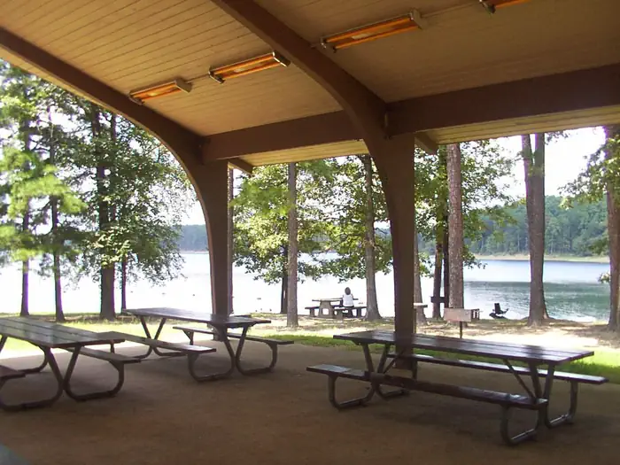
Overview Arlie Moore Campground and Day Use Area sits on the northern banks of DeGray Lake in the foothills of the Quachita Mountains. Hikers find Arlie Moore particularly inviting. In past years, the National Recreation Reservation Service selected the Arlie Moore Interpretive Trail as one of America's Top 25 Hiking Trails. Recreation Boating, water skiing, kayaking and other water sports are the biggest draw to the lake, and a boat ramp and swimming beach are provided. The lake is also stocked with a variety of game fish, including plenty of hybrid striped bass, making it an ideal area for both boat and bank fishing. Numerous hiking and bike riding trails wind around the lake shore, including the Arlie Moore Interpretive Trail. Facilities Arlie Moore offers a mix of RV, standard and tent-only campsites, each with electric hookups. Other amenities include flush toilets, heated showers, a boat ramp, swimming beach, interpretive trail, and a reservable group use shelter. The Arlie Moore Interpretive Trail is located in the Arlie Moore Recreation Area. The trail is a double segment loop, approximately 1.3 miles (2.2 kilometers) in length. The trail meanders through a mature southern pine forest. In 2002, the trail was rehabilitated in large part due to a partnership grant from ALCOA. To see USACE DeGray Lake Virtual Tour,click here Natural Features Degray Lake is one of the region's five Diamond Lakes, known for their crystal clear waters. The lake flows from the Caddo River in western Arkansas and spans 13,500 surface acres. Nearby Attractions The DeGray Lake Resort State Park offers golf courses, tennis courts, horseback riding trails and more along the 207 miles of lake shoreline. The Ouachita National Forest and Hot Springs National Park are both located nearby.
Photos
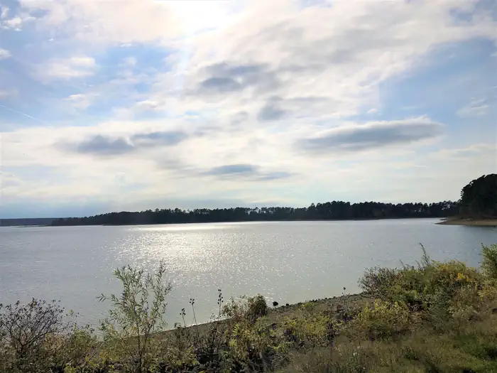
Arlie Moore Swim Beach — USACEScenic view of DeGray Lake — USACEArlie Moore Day Use Boat Ramp — USACEArlie Moore Group Use Shelter — USACE
How to Get There
From Interstate 30 take exit 78. Merge onto State Highway 7 north for 9 miles. Turn left onto Arlie Moore Rd and continue 2.3 miles to Arlie Moore Day Use Area.
Download your route in advance via Gaia, Caltopo, or OSM-based apps.
Recommendations adapt to the current forecast + trail stats. Use them as a starting point — local conditions, your experience, and the time of day you start all matter.
Plan Your Visit to Arlie Moore Day Use
Heading to Arlie Moore Day Use? A few things to know before you go:
Reservations: popular sites fill up fast — check Recreation.gov 6 months in advance
Fees: day-use and camping fees vary; check current rates on the official park page
Trash & pack-out: follow Leave No Trace principles
Wildlife: store food in bear boxes where provided; never feed wildlife
Weather: the 5-day forecast above is updated every 6 hours; verify just before you go
Frequently Asked Questions
Do I need a reservation for Arlie Moore Day Use?
No central reservation system listed for Arlie Moore Day Use. Check the official page (https://www.recreation.gov/camping/campgrounds/10159060) for the latest entry policy and availability.
How many campsites are at Arlie Moore Day Use?
Arlie Moore Day Use has 1 campsites. Site amenities (hookups, vehicle limits, ADA access) vary — see the individual campsite pages for details.
How do I get to Arlie Moore Day Use?
From Interstate 30 take exit 78. Merge onto State Highway 7 north for 9 miles. Turn left onto Arlie Moore Rd and continue 2.3 miles to Arlie Moore Day Use Area.
How do I contact Arlie Moore Day Use?
You can reach the park at phone: 870-246-5501 or email: [email protected].