Overview Lower Lake is an area developed for visitors of the regulating dam. Fishing in the continuous outflow of the dam is a popular pastime. Other visitors fish the 400-acre pool above the dam or float and fish the river below the dam. Individual covered picnic tables plus one group shelter with a large cooking gril…
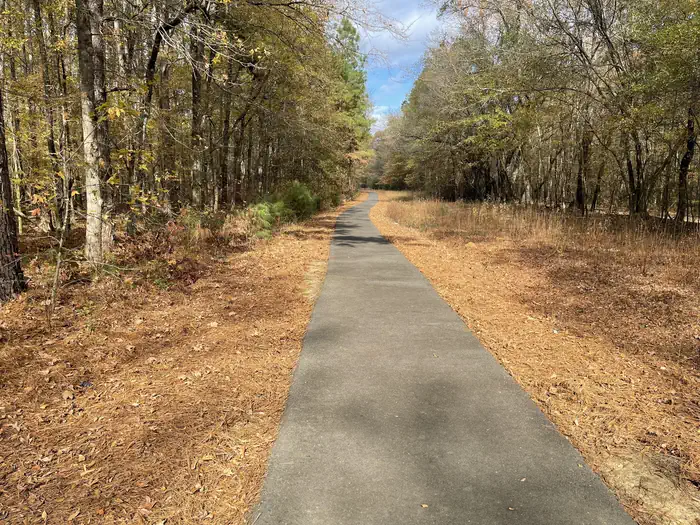
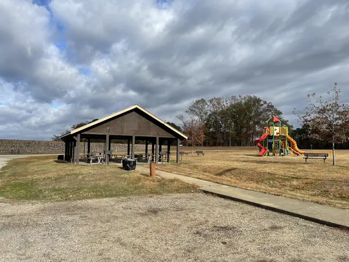
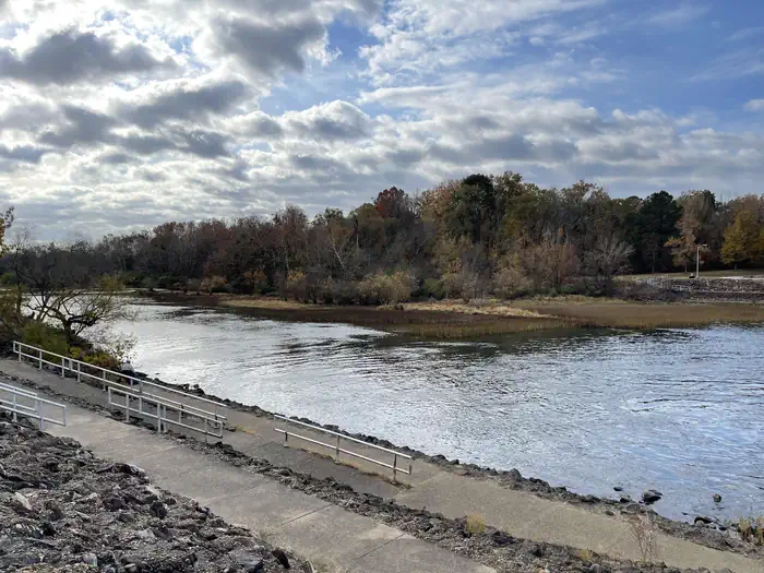
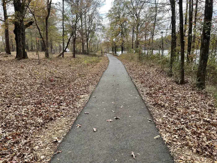
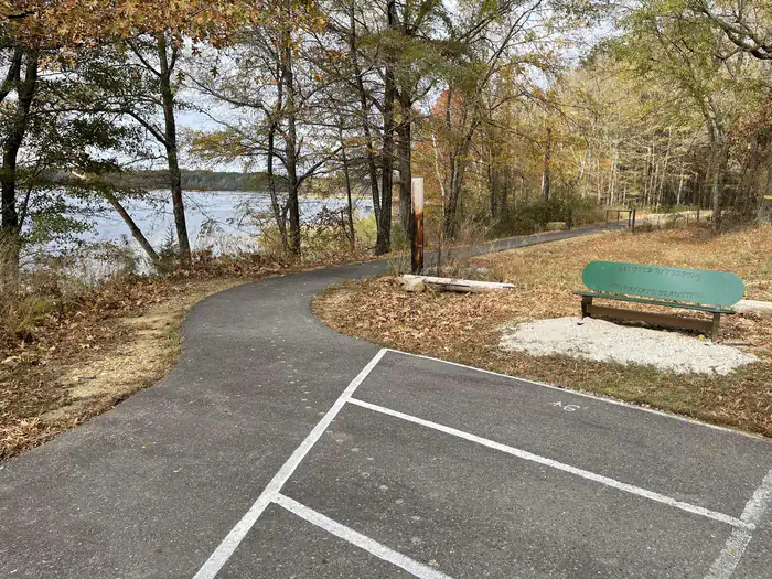
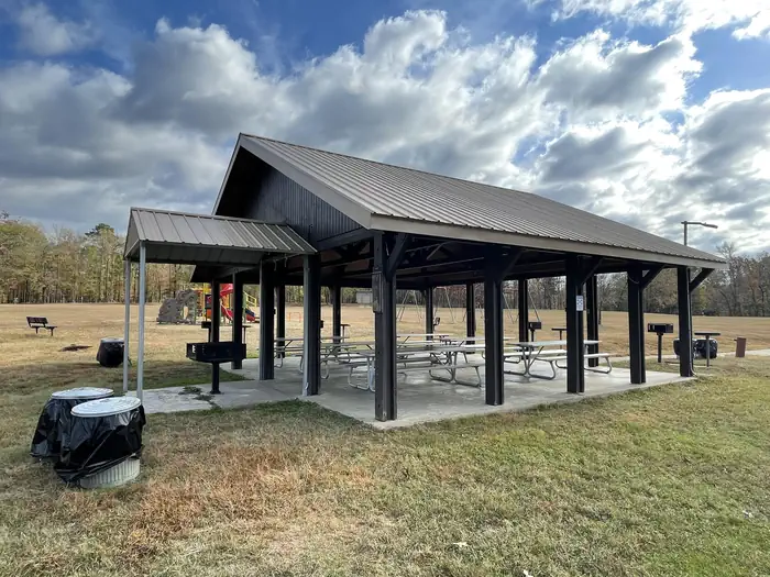
Overview Lower Lake is an area developed for visitors of the regulating dam. Fishing in the continuous outflow of the dam is a popular pastime. Other visitors fish the 400-acre pool above the dam or float and fish the river below the dam. Individual covered picnic tables plus one group shelter with a large cooking grill are available for use. The openness of the area lends itself to volleyball, softball, 18-hole disc golf course, and a fitness course. Recreation Hiking, fishing, canoeing, kayaking, disc golf, and picnicing are popular activities in the area. Facilities Lower Lake Recreation Area has a group use shelter available for renting. It is located beside the Caddo River and has a maximum seating capacity of 50 people. A playground, a sand volleyball court and an open playing field are adjacent to the shelter. A restroom is within walking distance of the shelter. There is a boat ramp in the park to access the river. The scenic Lower Lake Disc Golf Course is located in Lower Lake Recreation Area. Opening in late 2011, the course has become one of the most popular in the area. The Voss Fitness Trail is a 1 mile gravel trail with four fitness stops featuring a total of 19 workout stations. DeGray Lake Sunset Trail is a 1.7 mile moderately trafficked loop trail located at the Lower Lake that features lakeside views and is great for all skill levels. The trail offers a number of activity options and is accessible year-round. Dogs are also able to use this trail but must be kept on leash. The ADA-accessible trail meanders along a level paved surface, ideal for an easy afternoon walk. To see USACE DeGray Lake Virtual Tour, click here Natural Features Degray Lake is one of the region's five Diamond Lakes, known for their crystal clear waters. The lake flows from the Caddo River in western Arkansas and spans 13,500 surface acres. The first settlers around the lake were the Caddo Indians, whose remains have been traced back to 700 A.D. The early inhabitants were skille
Photos
Sunset Trail nature trail — USACELower Lake Pavilion — USACECaddo River — USACESunset Trail walkway — USACESunset Trail — USACELower Lake Pavilion — USACE
How to Get There
From Interstate 30 take exit 78. Merge onto State Highway 7 north and turn onto AR- 390 for 2 miles.
Download your route in advance via Gaia, Caltopo, or OSM-based apps.
Recommendations adapt to the current forecast + trail stats. Use them as a starting point — local conditions, your experience, and the time of day you start all matter.
Plan Your Visit to Lower Lake Recreation Area
Heading to Lower Lake Recreation Area? A few things to know before you go:
Reservations: popular sites fill up fast — check Recreation.gov 6 months in advance
Fees: day-use and camping fees vary; check current rates on the official park page
Trash & pack-out: follow Leave No Trace principles
Wildlife: store food in bear boxes where provided; never feed wildlife
Weather: the 5-day forecast above is updated every 6 hours; verify just before you go
Frequently Asked Questions
Do I need a reservation for Lower Lake Recreation Area?
No central reservation system listed for Lower Lake Recreation Area. Check the official page (https://www.recreation.gov/camping/campgrounds/10159066) for the latest entry policy and availability.
How many campsites are at Lower Lake Recreation Area?
Lower Lake Recreation Area has 1 campsites. Site amenities (hookups, vehicle limits, ADA access) vary — see the individual campsite pages for details.
How do I get to Lower Lake Recreation Area?
From Interstate 30 take exit 78. Merge onto State Highway 7 north and turn onto AR- 390 for 2 miles.
How do I contact Lower Lake Recreation Area?
You can reach the park at phone: 870-246-5501 or email: [email protected].