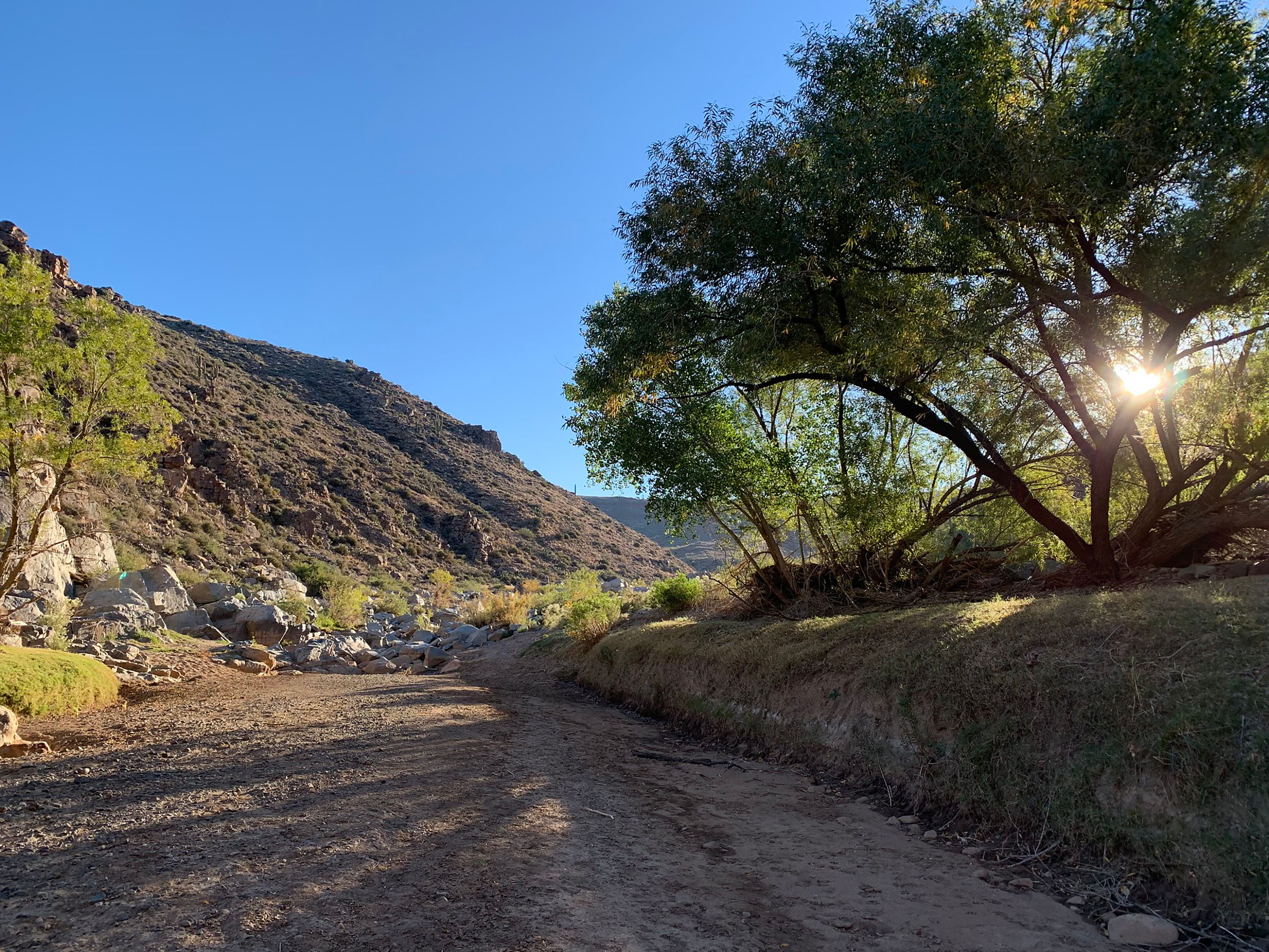
About Agua Fria National Monument
In Arizona, Agua Fria National Monument protects two broad mesas and the canyon of the Agua Fria River, with elevations from about 2,150 to 4,600 feet. The landscape includes semi‑desert grasslands, chaparral pockets, and basalt plateaus shaped by a dormant volcano. Wildlife such as pronghorn, mule deer, javelina, coyotes, raptors, various songbirds, and native fish thrive here.The monument also preserves one of the Southwest’s most significant systems of prehistoric sites, including large stone‑masonry pueblos on Perry Mesa. Pueblo la Plata, which was once 80–90 rooms, sits above Silver Creek with sweeping canyon views. Petroglyphs are found along the Agua Fria River, including at the Badger Springs confluence. Things to DoHike and explore: Walk sandy washes and rocky routes to river corridors and mesa‑top dwellings. Trails are mostly undeveloped; carry plenty of water and wear sturdy footwear. View cultural sites: Visit mesa‑top pueblos and petroglyph panels. Look, photograph, and leave artifacts in place. Birdwatch: The Agua Fria riparian corridors are an Audubon‑designated Important Bird Area, with more than 180 documented species and strong seasonal migration. Scenic driving: Travel unpaved roads like Bloody Basin Road for canyon and mesa views between Interstate 17 and the Tonto National Forest. High‑clearance is recommended beyond the first graded miles. Hunting: Allowed in Arizona Game Management Unit 21 with the proper license and permits. Follow all Arizona Game and Fish Department regulations.Featured PlacesBadger Springs Trailhead: Short route down Badger Springs Wash to the Agua Fria River and a petroglyph panel at the confluence. Vault toilet at trailhead.Pueblo La Plata Cultural Site: A large mesa‑top village reachable by high‑clearance road, followed by a rocky walk. Riverbend Recreation Area and 1891 Schoolhouse: Quiet riverside site near Cordes Lakes with a short walk to the historic schoolhouse foundation. Teskey Home Site: Remains of a chimney an


