Overview Calabasas Group Campground is a place for groups of up to 250 people to enjoy scenery and privacy in a remote, natural setting. Weddings, family reunions and other social gatherings are especially popular during winter due to pleasant seasonal temperatures, yet it is open year-round. Calabasas is situated in C…
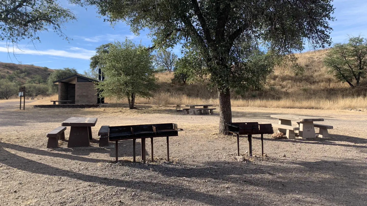
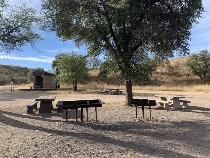
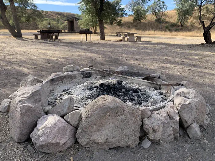
Overview Calabasas Group Campground is a place for groups of up to 250 people to enjoy scenery and privacy in a remote, natural setting. Weddings, family reunions and other social gatherings are especially popular during winter due to pleasant seasonal temperatures, yet it is open year-round. Calabasas is situated in Coronado National Forest in southern Arizona, home to a variety of ecosystems and recreation opportunities. It is located a short distance off Ruby Road near Peña Blanca Lake, 67 miles south of Tucson and 14 miles northwest of Nogales, Arizona.Recreation A major attraction at Calabasas Group Site is nearby Peña Blanca Lake. The 45-acre, man-made lake provides birding, boating and fishing opportunities year-round. Anglers can try for rainbow trout, bass, sunfish, crappie and catfish. Groups also enjoy picnicking in the camping area, hiking or mountain biking on area trails or visiting historic sites.Facilities The camping area can be reserved by one group at a time. Facilities at Calabasas include 14 tables, 12 campfire rings with grills, three pedestal barbecue grills, benches, a parking area and toilets. The site is spread out, so there is enough space to set up additional tables and facilities. There is no drinking water available; visitors must bring their own.Natural Features Campsites within the group area are spread out among a stand of oak trees within a shallow, grassy valley. A few well-worn pathways lead to low hilltops in the area where visitors will find good views of the surrounding valleys and mountains. Calabasas sits at an elevation of 4,000 feet. The Coronado National Forest covers 1.78 million acres of southeastern Arizona and southwestern New Mexico. Elevations range from 3,000 to 10,720 feet in 12 widely scattered mountain ranges or "sky islands" that rise dramatically from the desert floor, supporting plant communities as biologically diverse as those encountered on a trip from Mexico to Canada. Nearby Attractions Visitors can take
Photos
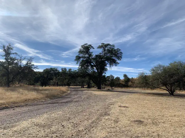
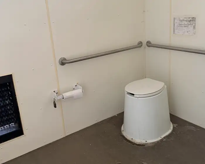
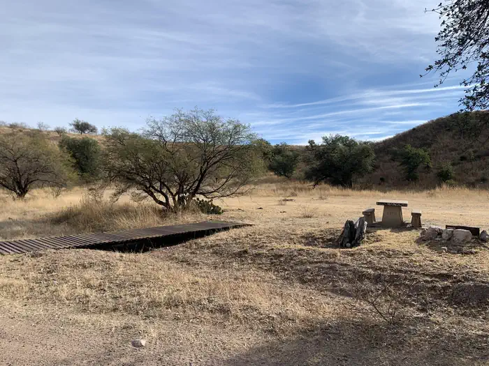
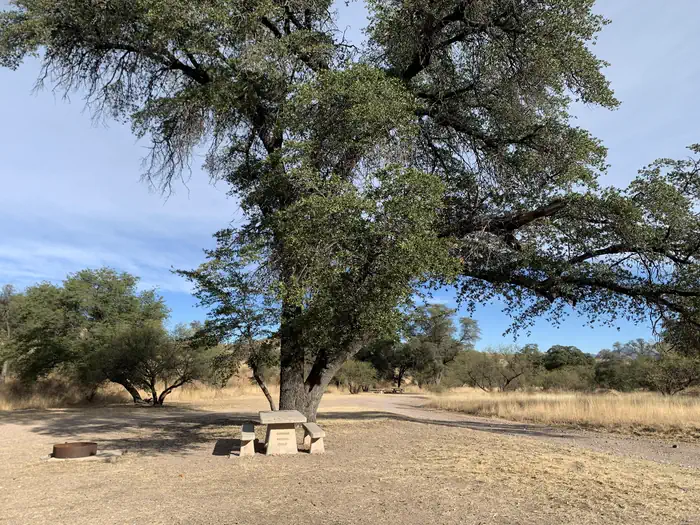
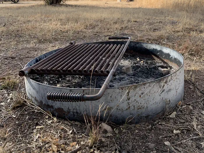
A locked entry gate to the campground with a sign that says "Calabasas Recreation Site"ite — Coronado National Forest, U.S. Forest ServiceCampground with tables, grills and a pit toilet. Sparse trees and a dry, grassy ecosystem — Coronado National Forest, U.S. Forest ServiceA stone-ringed fire pit on the ground with dark ashes in the center. — Coronado National Forest, U.S. Forest ServiceThe gravel and dirt road entering the campsite. — Coronado National Forest, U.S. Forest ServiceA toilet in the pit toilet building with rolls of toilet paper on the left. — Coronado National Forest, U.S. Forest ServiceA small flat foot bridge crosses a shallow wash to a wide open space with one picnic table — Coronado National Forest, U.S. Forest ServiceA stone pit toilet building. — Coronado National Forest, U.S. Forest Servicea large tree shading a picnic table with the gravel entry road to the right — Coronado National Forest, U.S. Forest ServiceMetal fire pit on the ground at Calabasa campground. Metal ring with an attached metal grill on top. — Coronado National Forest, U.S. Forest Service
How to Get There
From Tucson, Arizona, take I-19 south for about 56 miles. Exit onto AZ 289 (Exit 12). Turn right (west) onto AZ Highway 289 (Ruby Road) and continue to the Pe Blanca Recreational Area. From Nogales, Arizona, take I-19 north for about 4.4 miles. Exit onto AZ 289 (Exit 12). Turn left (west) onto AZ Highway 289 (Ruby Road) and continue to the Pena Blanca Recreational Area.
Download your route in advance via Gaia, Caltopo, or OSM-based apps.
Recommendations adapt to the current forecast + trail stats. Use them as a starting point — local conditions, your experience, and the time of day you start all matter.
Plan Your Visit to CALABASAS
Heading to CALABASAS? A few things to know before you go:
Reservations: popular sites fill up fast — check Recreation.gov 6 months in advance
Fees: day-use and camping fees vary; check current rates on the official park page
Trash & pack-out: follow Leave No Trace principles
Wildlife: store food in bear boxes where provided; never feed wildlife
Weather: the 5-day forecast above is updated every 6 hours; verify just before you go
Frequently Asked Questions
Do I need a reservation for CALABASAS?
No central reservation system listed for CALABASAS. Check the official page (https://www.recreation.gov/camping/campgrounds/233221) for the latest entry policy and availability.
How do I get to CALABASAS?
From Tucson, Arizona, take I-19 south for about 56 miles. Exit onto AZ 289 (Exit 12). Turn right (west) onto AZ Highway 289 (Ruby Road) and continue to the Pe Blanca Recreational Area. From Nogales, Arizona, take I-19 north for about 4.4 miles. Exit onto AZ 289 (Exit 12). Turn left (west) onto AZ Highway 289 (Ruby Road) and continue to the Pena Blanca Recreational Area.