Overview Named for the towering pines under which it sits, Ponderosa Campground is tucked in the rolling forests of northern Arizona. As one of the largest forest in the country, the Tonto National Forest is one of the most-visited urban forests in the United States, boasting about 5.8 million visitors annually. Its bo…
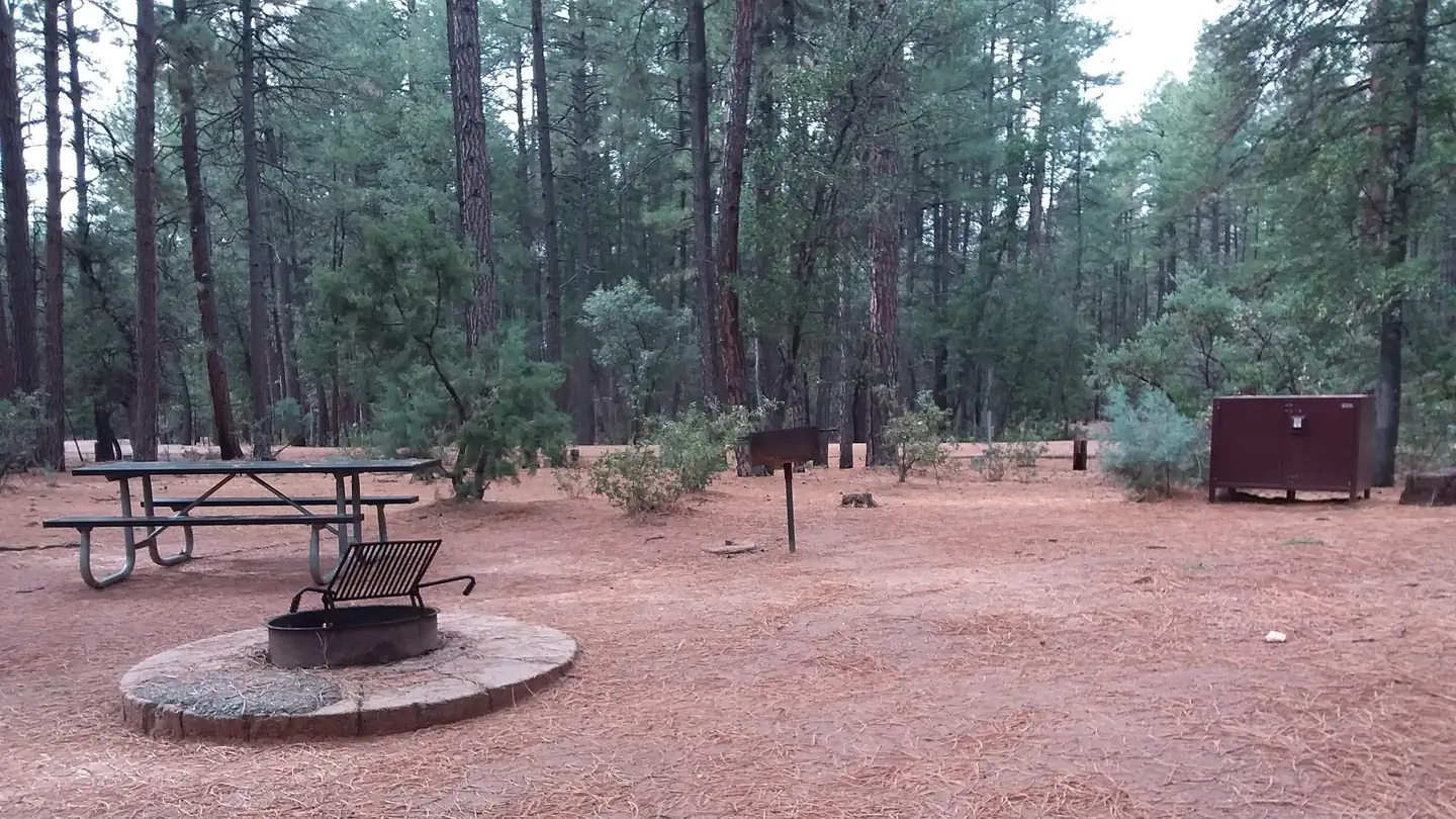
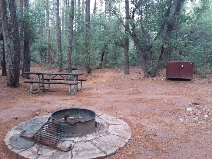
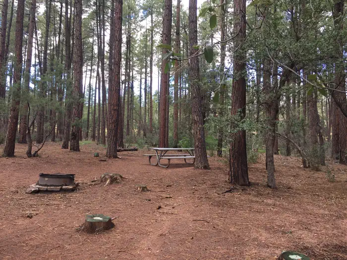
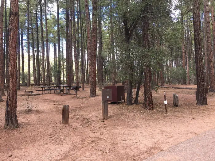
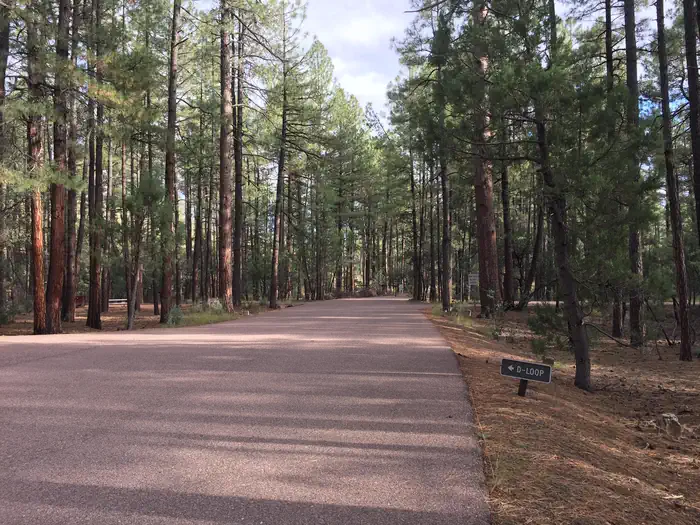
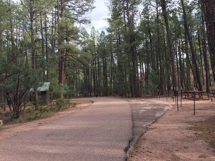
Overview Named for the towering pines under which it sits, Ponderosa Campground is tucked in the rolling forests of northern Arizona. As one of the largest forest in the country, the Tonto National Forest is one of the most-visited urban forests in the United States, boasting about 5.8 million visitors annually. Its boundaries are Phoenix to the south, the Mogollon Rim to the north and the San Carlos and Fort Apache Indian reservations to the east.While this campground did undergo a timber sale a few years ago it still has many ponderosa trees that will be stronger and healthier for future generations to enjoy. Recreation Take advantage of the area's hiking/biking trails and lakes or simply relaxing at the campsite. Scenic driving and outdoor recreation abound in the surrounding Tonto National Forest. A series of lakes called the Rim Country Lakes are about a 15 minute drive east. Woods Canyon Lake is one of the most popular recreational lakes in the state and offers options for boating.Facilities The facility provides 48 single campsites and two group sites that can accommodate up to 25 people guests each. The campsites are clean, flat and spacious with a good amount of shade from pine trees. In addition, first-come, first-serve sites are available with payment completed using the on-site fee machine. No cash is accepted. Check-In is 2:00 pmCheck-Out is 11:00 amNatural Features The ponderosa pine trees make this a memorable campground. Larger ponderosas release a vanilla scent into the air and have a relatively open understory, making the area perfect for camping. Mixed into the understory are junipers, oaks and manzanita shrubs. The campground sits on the border of the Mogollon Rim, pronounced by locals as "muggy-own," a 200-mile-long cliff in northern Arizona that ranges between 5,000 and 7,000 feet in elevation. The unique landscape was created by extreme erosion and faulting that has sculpted spectacular canyons and buttes. The rim serves as the geographical di
Photos
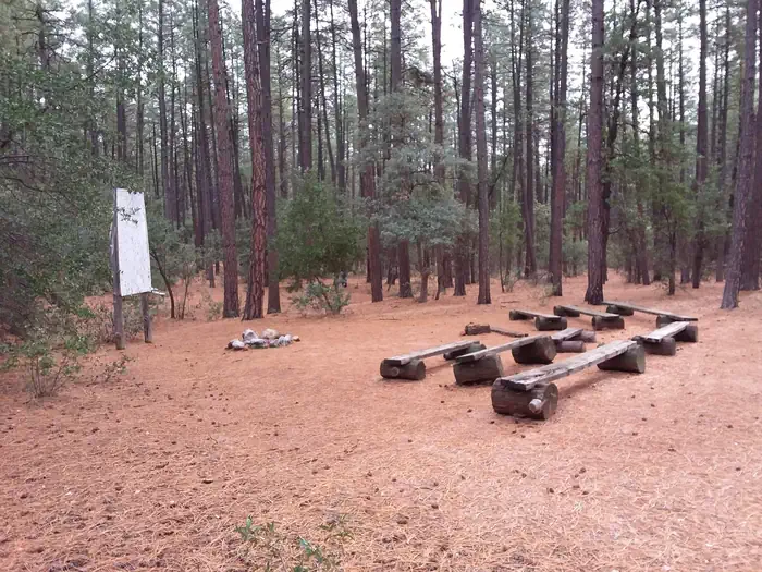
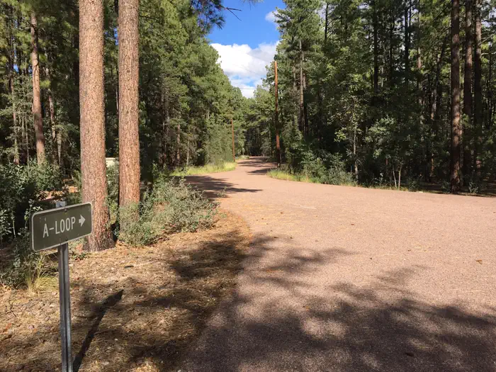
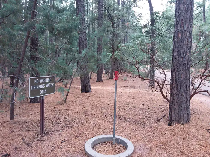
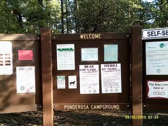
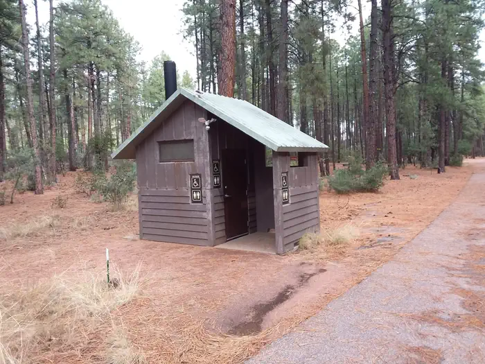
Ponderosa (AZ) Loop A Amphitheater — Conservation LegacyPonderosa — USFSPonderosa (AZ) Water Source — Conservation LegacyPonderosa (AZ) Campsite Loop B — Conservation LegacyPonderosa CG — USFSPONDEROSA (AZ) — Conservation LegacyPonderosa (AZ) Restrooms On Site — Conservation LegacyPonderosa Campground — USFSPonderosa Campground — USFSPonderosa Campground . — USFS
How to Get There
From Payson, Arizona, go east on State Route 260. The campground is located on the south side of 260. A campground sign is visible before the campground entrance.
Download your route in advance via Gaia, Caltopo, or OSM-based apps.
Recommendations adapt to the current forecast + trail stats. Use them as a starting point — local conditions, your experience, and the time of day you start all matter.
Plan Your Visit to PONDEROSA (AZ)
Heading to PONDEROSA (AZ)? A few things to know before you go:
Reservations: popular sites fill up fast — check Recreation.gov 6 months in advance
Fees: day-use and camping fees vary; check current rates on the official park page
Trash & pack-out: follow Leave No Trace principles
Wildlife: store food in bear boxes where provided; never feed wildlife
Weather: the 5-day forecast above is updated every 6 hours; verify just before you go
Frequently Asked Questions
Do I need a reservation for PONDEROSA (AZ)?
No central reservation system listed for PONDEROSA (AZ). Check the official page (https://www.recreation.gov/camping/campgrounds/234563) for the latest entry policy and availability.
How many campsites are at PONDEROSA (AZ)?
PONDEROSA (AZ) has 52 campsites. Site amenities (hookups, vehicle limits, ADA access) vary — see the individual campsite pages for details.
How do I get to PONDEROSA (AZ)?
From Payson, Arizona, go east on State Route 260. The campground is located on the south side of 260. A campground sign is visible before the campground entrance.