FacilityCampgroundRecreation.gov

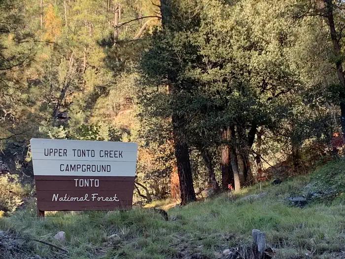
Upper Tonto Creek

Sun Valley, Arizona · Gila County · Campground

Overview The Upper Tonto Creek is a small campground tucked away from the main highway where the Tonto and Horton Creeks merge. 6 Campsites are available for reservation only. This location is available only through reservation May 1through November 3rd. Campground map available here . Recreation Families may enjoy fis…

Advertisement
34.33931, -111.09422
Open in OpenStreetMap

About Upper Tonto Creek

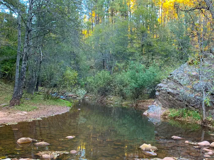
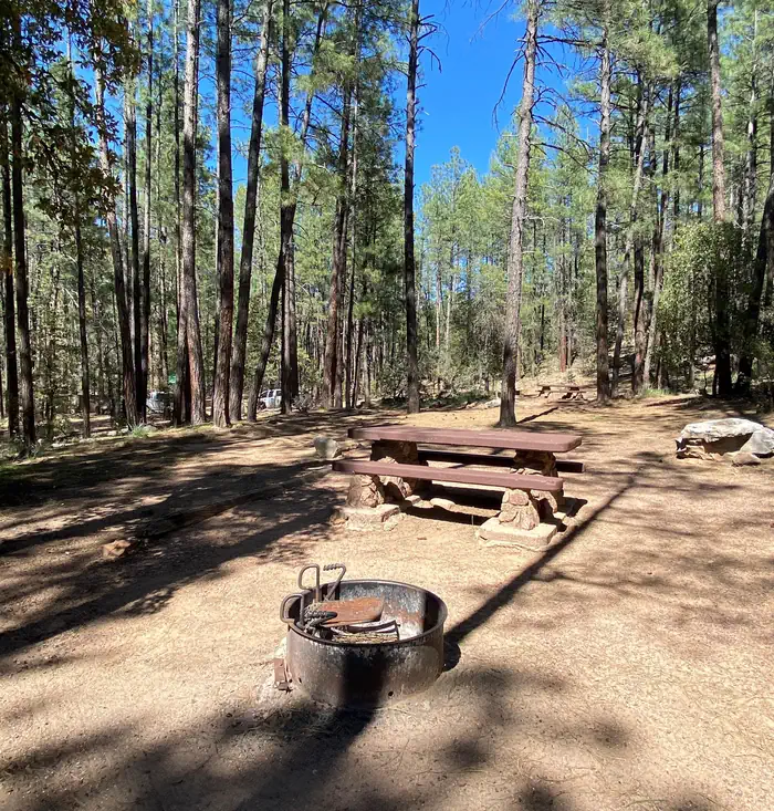
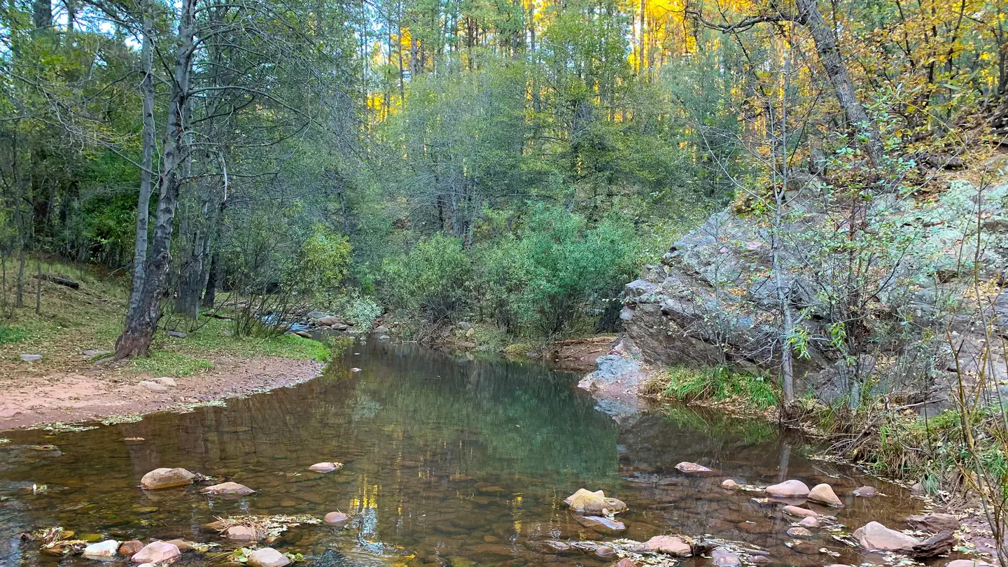
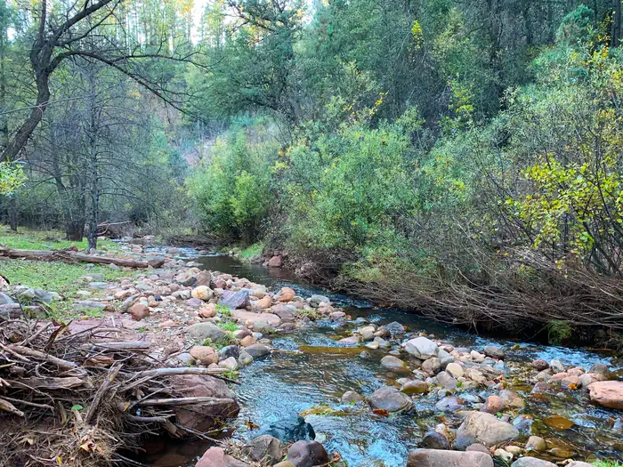
Overview The Upper Tonto Creek is a small campground tucked away from the main highway where the Tonto and Horton Creeks merge. 6 Campsites are available for reservation only. This location is available only through reservation May 1through November 3rd. Campground map available here . Recreation Families may enjoy fishing at both Tonto and Horton Creeks or pass time hiking through nearby Horton Creek Trail or Derrick Trail. Both of these trails access the Highline National Recreation Trail (#31). Facilities This campground contains 6 campsites, 3 picnic sites, and a double vault toilet. Natural Features The union of Tonto and Horton Creeks is at the north end of the Upper Tonto Creek campground. Fishing in both creeks is a popular sport. Contact Info This location is unstaffed. To speak with our main office for general information, please call: (928) 474-7900.

Photos

How to Get There

This site is 17 miles northeast of Payson. From Payson, travel 16 miles east on State Hwy. 260. Just east of mile marker 268 at Kohl’s Ranch, turn left (north) on Forest Road (FR) 289. Travel one mile and turn right into the site.

Driving directions (Google Maps) →

What to Pack for Your Stay

Tuned to the live forecast for this park.

👔 What to Wear

  • 👕
    Long-sleeve shirt
    Synthetic or merino, sun-protective.
  • 🧥
    Light shell or windbreaker
    Even on warm days, wind can chill (avg wind 0 mph).
  • 👖
    Hiking pants or convertible
    Layer for variable conditions.
  • 🥾
    Trail runners or low boots
    Comfortable, broken in.

🎒 What to Pack

  • 💧
    Water
    Bring at least 1L of water; more in heat.
  • 🍫
    High-energy snacks
    A snack for the trail.
  • 🧴
    Sun protection
    Sunscreen, sunglasses, brimmed hat.
  • 🩹
    First-aid kit
    Blister patches, ibuprofen, tape, antiseptic wipes.
  • 🗺
    Offline map
    Download your route in advance via Gaia, Caltopo, or OSM-based apps.

Recommendations adapt to the current forecast + trail stats. Use them as a starting point — local conditions, your experience, and the time of day you start all matter.

Plan Your Visit to Upper Tonto Creek

Heading to Upper Tonto Creek? A few things to know before you go:

  • Reservations: popular sites fill up fast — check Recreation.gov 6 months in advance
  • Fees: day-use and camping fees vary; check current rates on the official park page
  • Trash & pack-out: follow Leave No Trace principles
  • Wildlife: store food in bear boxes where provided; never feed wildlife
  • Weather: the 5-day forecast above is updated every 6 hours; verify just before you go

Frequently Asked Questions

Do I need a reservation for Upper Tonto Creek?

No central reservation system listed for Upper Tonto Creek. Check the official page (https://www.recreation.gov/camping/campgrounds/10215934) for the latest entry policy and availability.

How do I get to Upper Tonto Creek?

This site is 17 miles northeast of Payson. From Payson, travel 16 miles east on State Hwy. 260. Just east of mile marker 268 at Kohl’s Ranch, turn left (north) on Forest Road (FR) 289. Travel one mile and turn right into the site.

How do I contact Upper Tonto Creek?

You can reach the park at phone: N/A or email: N/A.