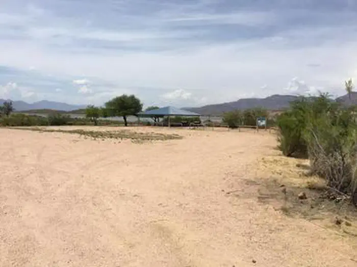
Overview The campground overlooks Roosevelt Lake and is nestled in the saguaro cactus-studded Sonoran Desert.Recreation In addition to camping, horseback riders, hikers, and mountain bikers can access the Arizona National Scenic Trail from the campground via the Frazier Trail. There are many other trails in the area.Fa…
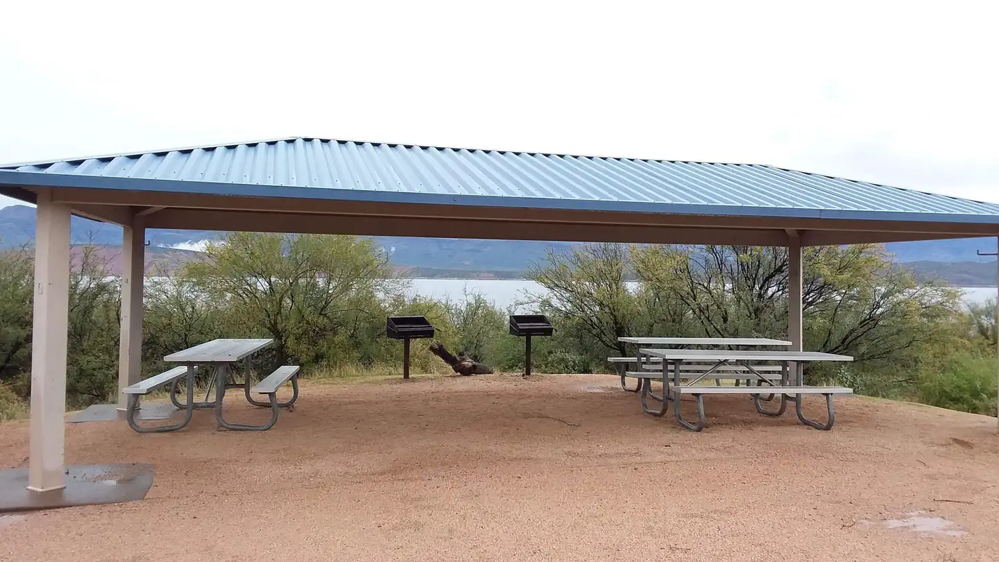
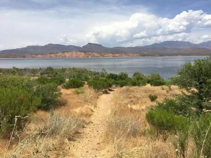
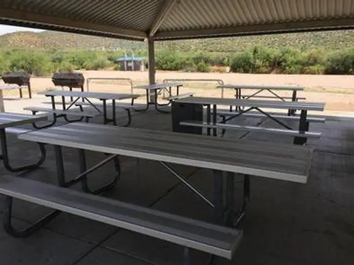
Overview The campground overlooks Roosevelt Lake and is nestled in the saguaro cactus-studded Sonoran Desert.Recreation In addition to camping, horseback riders, hikers, and mountain bikers can access the Arizona National Scenic Trail from the campground via the Frazier Trail. There are many other trails in the area.Facilities Frazier's large open parking area accommodates trailers and pull vehicles arranged in a variety of parking configurations. Facilities include vault toilets, a shelter with group-sized picnic tables, grills, and fire rings, a watering trough, and water hydrants.Natural Features At an elevation of 2,200 feet, the group site has stunning views of the blue water and sunsets against three mountainous wilderness areas. Nearby Attractions Multiple opportunities for enjoying spectacular scenery and learning about the area's pre-history, history, flora, fauna, or geology include visiting Tonto National Monument cliff dwellings (National Park Service), driving portions of the Apache Trail Historic Road (State Hwy 88) and Desert to Tall Pines Scenic Road (State Hwy 288) or visiting the Tonto Basin Visitors Center.
Photos
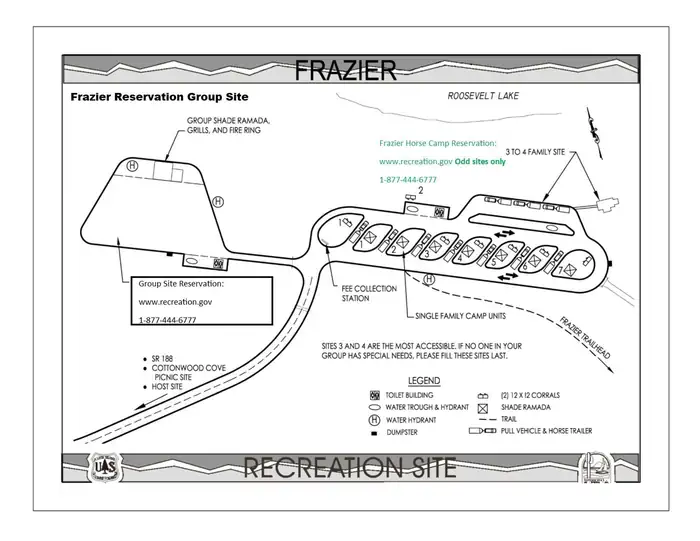
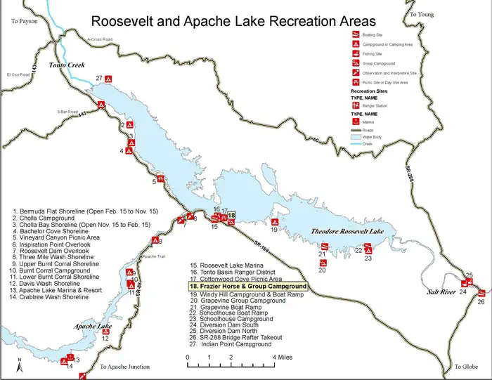
FRAZIER GROUP CAMPGROUNDFrazier Group Campground Site Map _6 — USFSFrazier Campground fire pit. — Conservation LegacyFRAZIER GROUP CAMPGROUNDFRAZIER GROUP CAMPGROUNDRoosevelt and Apache Lake Map — Tonto NF
How to Get There
From Phoenix: Take State Hwy 87 / Beeline Highway north for about 75 miles to its junction with State Hwy 188. Turn right and follow State Hwy 188 for 33.5 miles to the site (just after the visitor center on the left, watch for campground sign). From Mesa: Take State Hwy 87 / Beeline Highway north for about 61 miles to its junction with State Hwy 188. Turn right and follow State Hwy 188 for 33.5 miles to the site (just after the visitor center on the left, watch for campground sign). From Globe area: Take State Hwy 188 north for about 30 miles to the site (just past the Roosevelt Work Center on the right, watch for campground sign). All routes are paved.
Download your route in advance via Gaia, Caltopo, or OSM-based apps.
Recommendations adapt to the current forecast + trail stats. Use them as a starting point — local conditions, your experience, and the time of day you start all matter.
Plan Your Visit to FRAZIER GROUP CAMPGROUND
Heading to FRAZIER GROUP CAMPGROUND? A few things to know before you go:
Reservations: popular sites fill up fast — check Recreation.gov 6 months in advance
Fees: day-use and camping fees vary; check current rates on the official park page
Trash & pack-out: follow Leave No Trace principles
Wildlife: store food in bear boxes where provided; never feed wildlife
Weather: the 5-day forecast above is updated every 6 hours; verify just before you go
Frequently Asked Questions
Do I need a reservation for FRAZIER GROUP CAMPGROUND?
No central reservation system listed for FRAZIER GROUP CAMPGROUND. Check the official page (https://www.recreation.gov/camping/campgrounds/266135) for the latest entry policy and availability.
How do I get to FRAZIER GROUP CAMPGROUND?
From Phoenix: Take State Hwy 87 / Beeline Highway north for about 75 miles to its junction with State Hwy 188. Turn right and follow State Hwy 188 for 33.5 miles to the site (just after the visitor center on the left, watch for campground sign). From Mesa: Take State Hwy 87 / Beeline Highway north for about 61 miles to its junction with State Hwy 188. Turn right and follow State Hwy 188 for 33.5 m…
How do I contact FRAZIER GROUP CAMPGROUND?
You can reach the park at phone: TONTO BASIN RANGER DISTRICT (602) 225-5395.