Overview The Camp Rucker Group Site is not available for reservations at this time for site re-design and facility improvements. The group camp area is now open to individual party walk-in camping. Individual sites are $15 per night; cash payment on-site. Camp Rucker sits in the beautiful and remote Chiricahua Mountain…
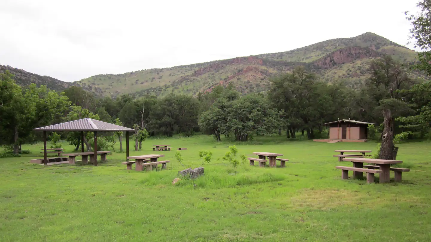
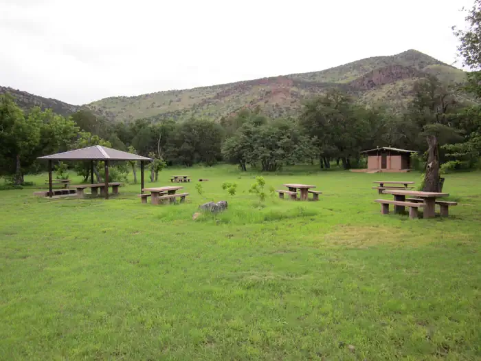
Overview The Camp Rucker Group Site is not available for reservations at this time for site re-design and facility improvements. The group camp area is now open to individual party walk-in camping. Individual sites are $15 per night; cash payment on-site. Camp Rucker sits in the beautiful and remote Chiricahua Mountains of southeastern Arizona. Recreation The Rucker and Tex Canyon scenic drive takes visitors over the southern reaches of the Chiricahua Mountains through beautiful canyon country, several forest campgrounds and a number of trails into the Chiricahua Wilderness. History buffs might want to stop at the historic Rucker Military Camp and Ranch, a remnant of the region's warring between U.S. Cavalry and Chiricahua Apaches.Facilities Camp Rucker has one spacious group campsite that includes eight picnic tables, two large serving tables, campfire rings with grills, bear-proof trash containers and vault toilets. The site was designed for groups. However, if the area has not been reserved by a group, individuals are permitted to camp.Natural Features Located at an elevation of 5,533 feet, Camp Rucker is situated in a grassy area with plenty of open space between the oak, juniper and Arizona walnut trees that provide welcome shade on a summer day. A short distance from the camp, Rucker Creek runs intermittently throughout the year. Monte Vista Peak to the northeast and a number of other minor peaks and foothills provide a scenic backdrop. Nearby Attractions Campers can take a day trip to Chiricahua National Monument. The monument protects some of the most scenic areas of the Chiricahua Mountains, a wonderland of rocks and forests with many opportunities for hiking and photography. Click here for more about the Chiricahua National Monument.
Photos
Gravel road condition — Forest ServiceDistant mountains and trees along a road — Forest ServicePicnic area with 4 tables and bathroom — Forest ServiceGroup reservation area sign — Forest ServiceCAMP RUCKER GROUP SITE — Forest Service
How to Get There
From Douglas, Arizona, take Leslie Canyon Road north to Rucker Canyon. Stay on the main road, which becomes Forest Road 74. Turn left on Forest Road 74E and left again to the Camp Rucker Group Site. From Tucson, Arizona, take I-10 east for 72 miles to U.S. 191. Turn right and drive 29 miles to the turnoff for Rucker Canyon. Turn left and continue 17 miles to the national forest boundary. Continue on FR 74, then turn left on FR 74E and left again to the Camp Rucker Group Site.
Download your route in advance via Gaia, Caltopo, or OSM-based apps.
Recommendations adapt to the current forecast + trail stats. Use them as a starting point — local conditions, your experience, and the time of day you start all matter.
Plan Your Visit to CAMP RUCKER GROUP SITE
Heading to CAMP RUCKER GROUP SITE? A few things to know before you go:
Reservations: popular sites fill up fast — check Recreation.gov 6 months in advance
Fees: day-use and camping fees vary; check current rates on the official park page
Trash & pack-out: follow Leave No Trace principles
Wildlife: store food in bear boxes where provided; never feed wildlife
Weather: the 5-day forecast above is updated every 6 hours; verify just before you go
Frequently Asked Questions
Do I need a reservation for CAMP RUCKER GROUP SITE?
No central reservation system listed for CAMP RUCKER GROUP SITE. Check the official page (https://www.recreation.gov/camping/campgrounds/233227) for the latest entry policy and availability.
How do I get to CAMP RUCKER GROUP SITE?
From Douglas, Arizona, take Leslie Canyon Road north to Rucker Canyon. Stay on the main road, which becomes Forest Road 74. Turn left on Forest Road 74E and left again to the Camp Rucker Group Site. From Tucson, Arizona, take I-10 east for 72 miles to U.S. 191. Turn right and drive 29 miles to the turnoff for Rucker Canyon. Turn left and continue 17 miles to the national forest boundary. Continue …